Close-ups
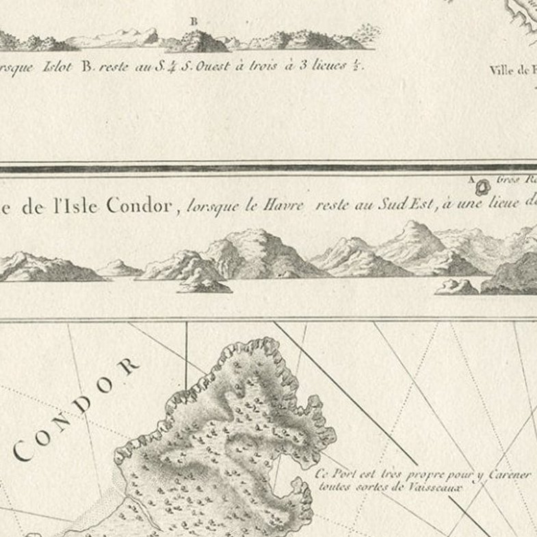
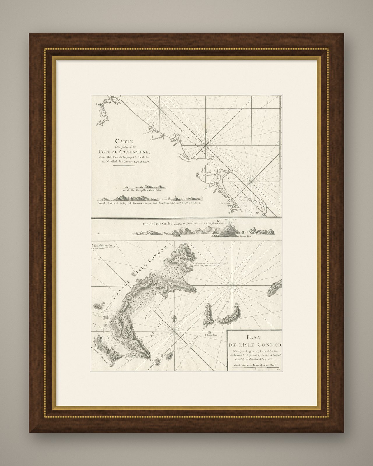
Framed and on the wall

Frame and rooms are illustrations of how the piece could look; it is sold unframed unless the description says otherwise.
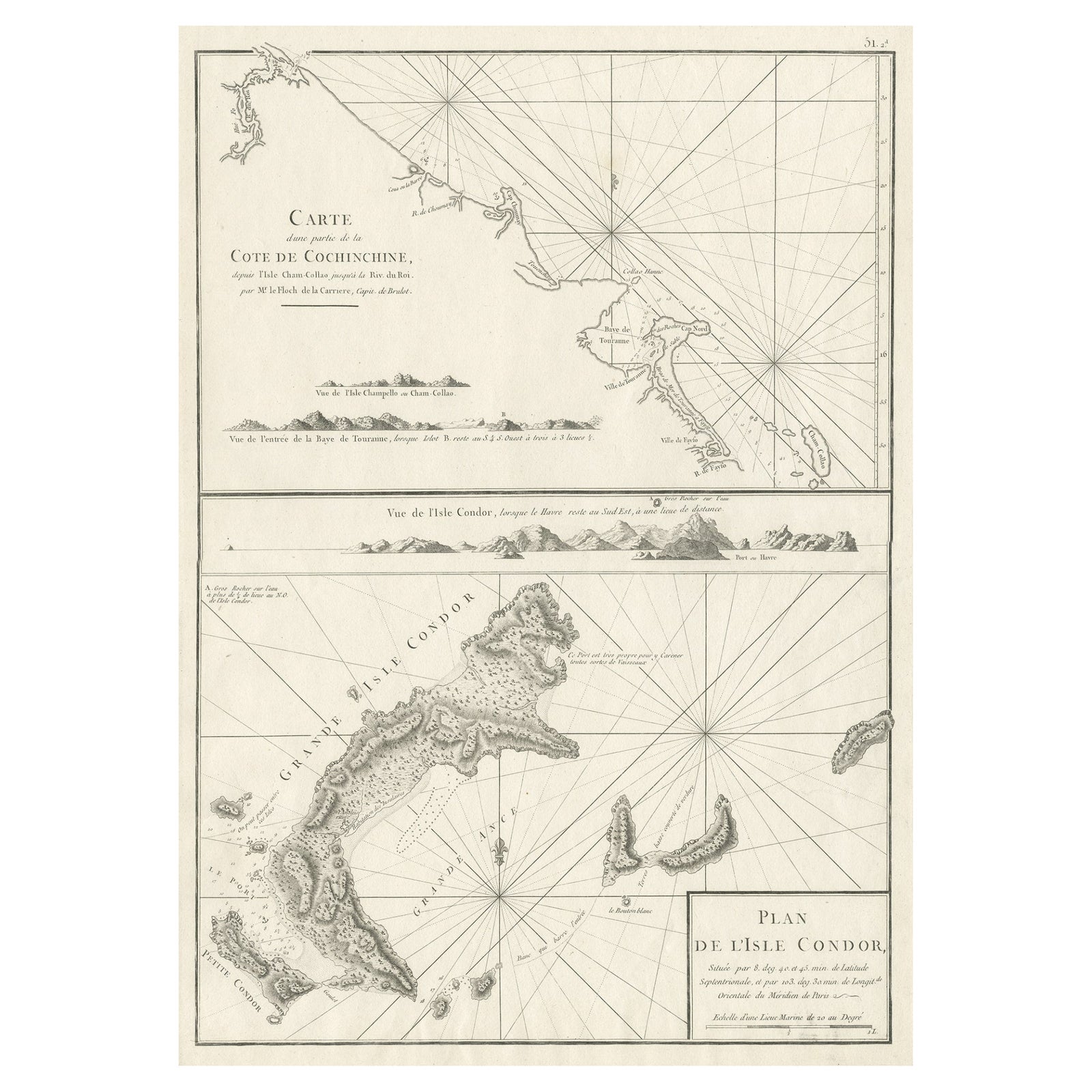
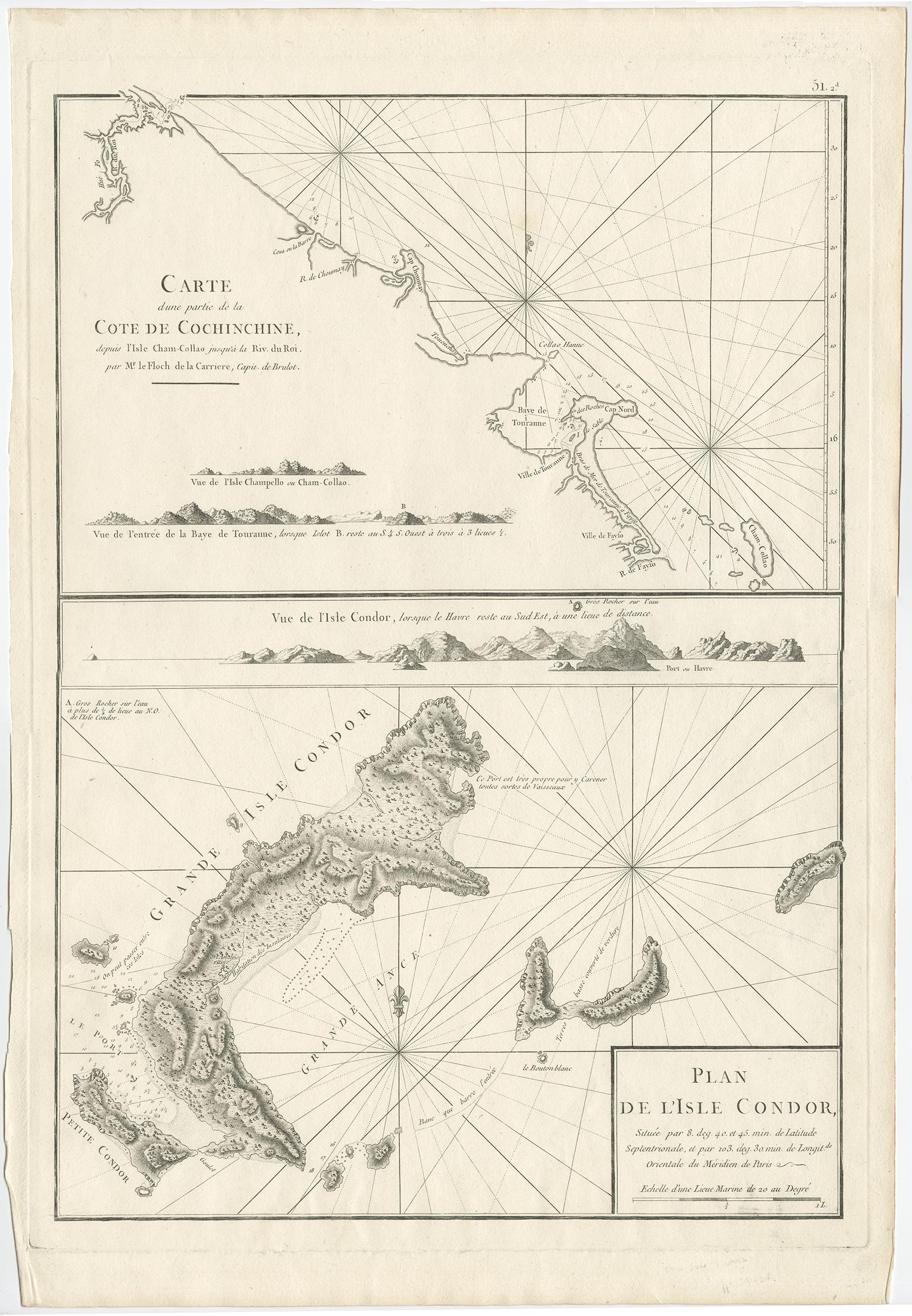
Old Sea Charts of Tourane Bay & the Con Dao Islands 'Pulo Condor', Vietnam, 1780
£550
$730 · €650
Original print, not a reproduction.
Ships worldwide from the Netherlands, flat, insured and tracked. 14-day returns.
- Date
- 1780
- Sheet size
- 21.7 × 14.6 in (55 × 37 cm)
- Condition
- Good
- Collection
- Sea charts
- Era
- 1700 to 1789, Age of discovery
- Stock no.
- f_26636542
Description: Two maps on one sheet titled 'Carte d'une partie de la Cote de Cochinchine [and] Plan de l'Isle Condor'.
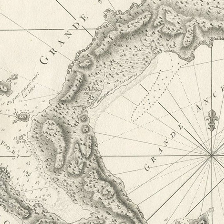
Sea charts of the coast of Vietnam around the Tourane Bay and the Con Dao Islands (Pulo Condor). Originates from 'Neptune Orientale'.
Artists and Engravers: Jean-Baptiste-Nicolas-Denis d'Apres de Mannevillette (1707-1780) was a French hydrographer and cartographer.
Condition: Very good, please study image carefully.
EXPLORE