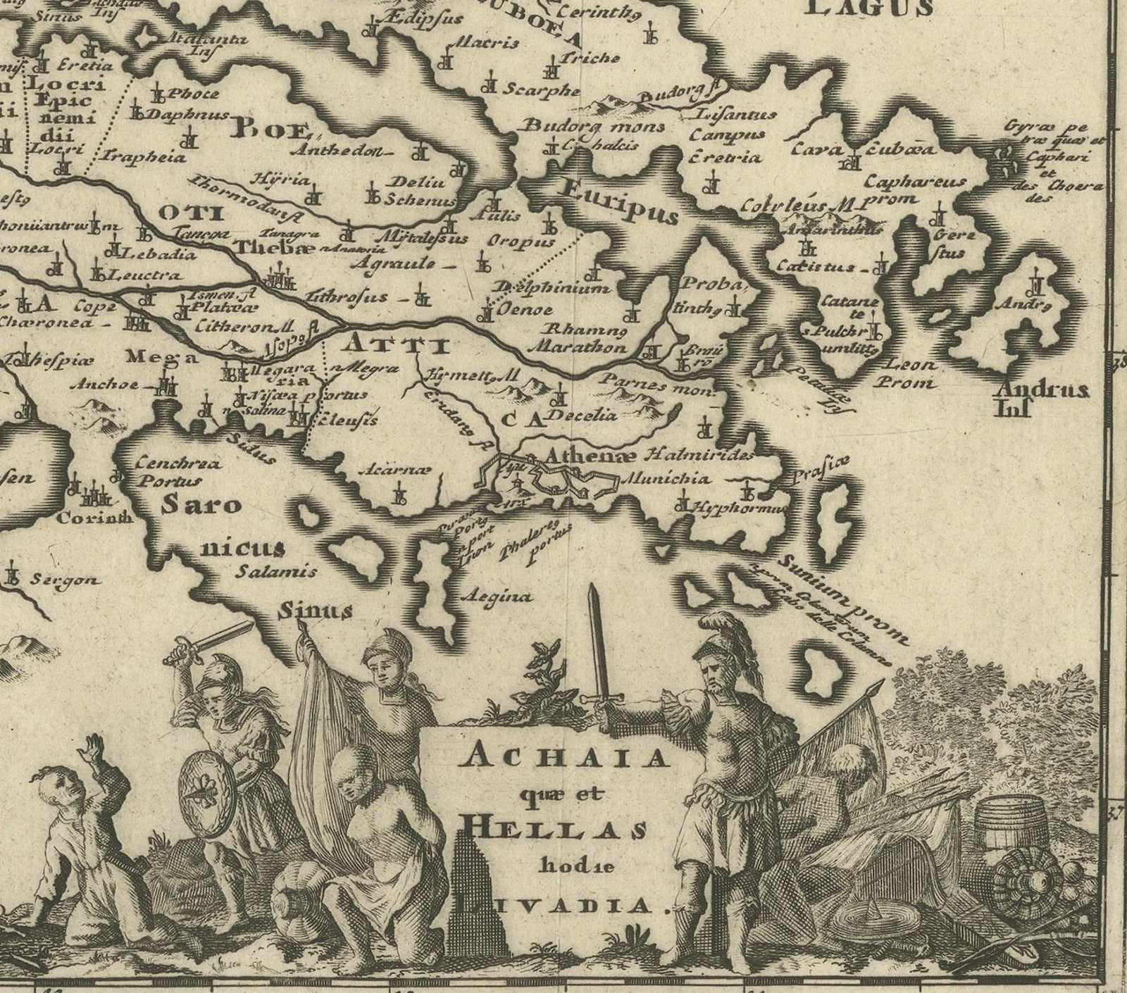
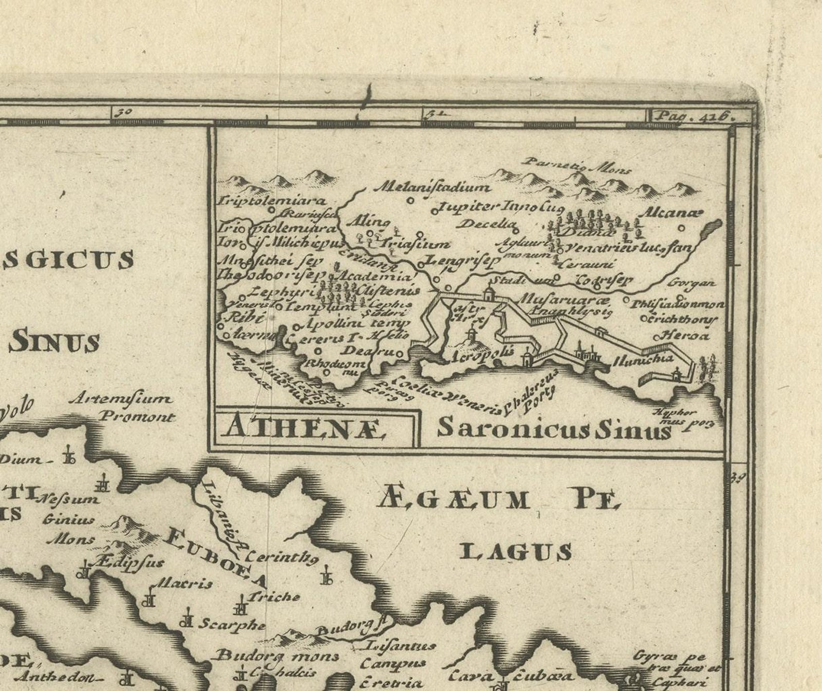
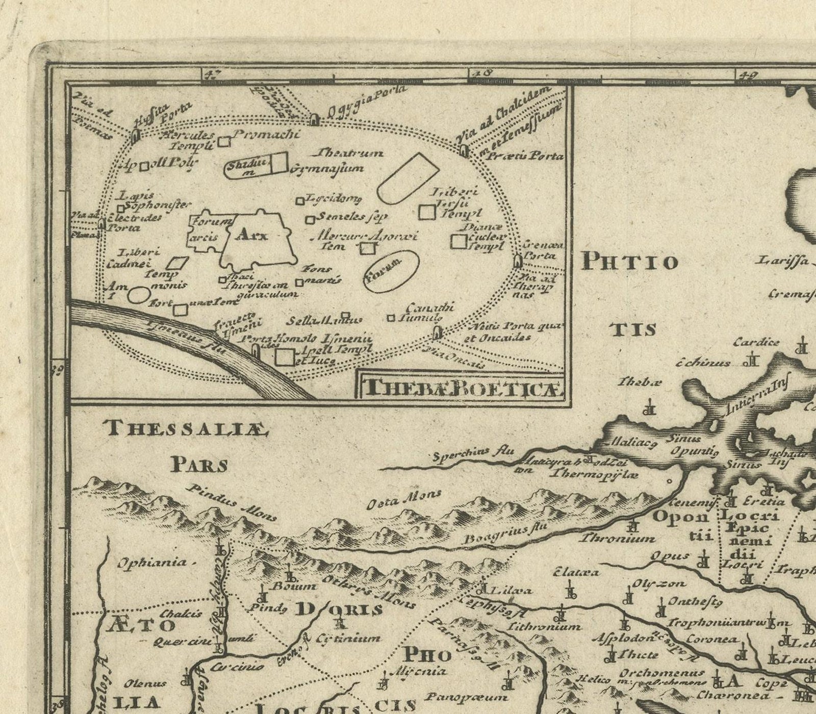
Close-ups
Framed and on the wall
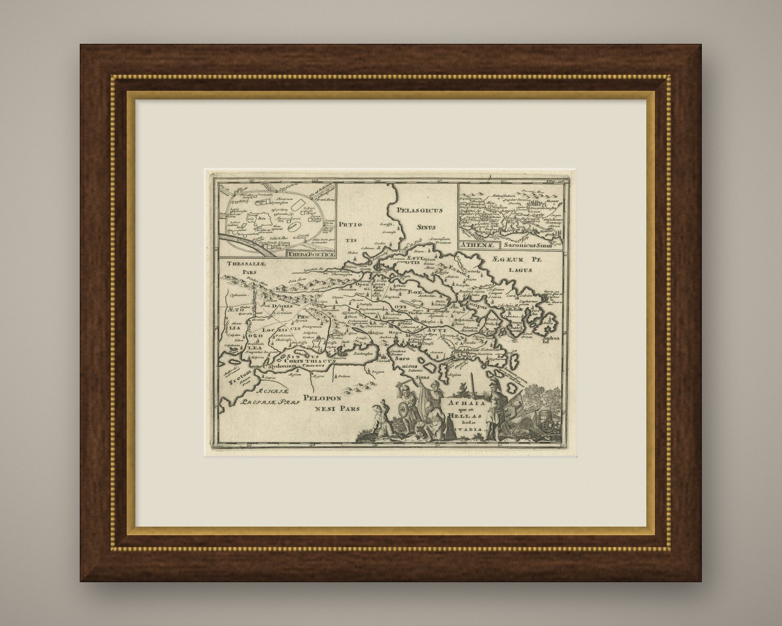
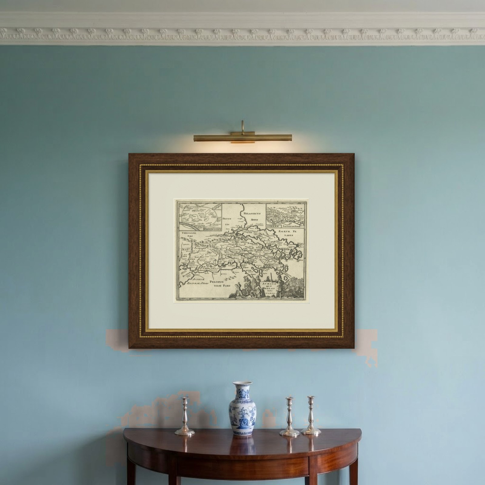
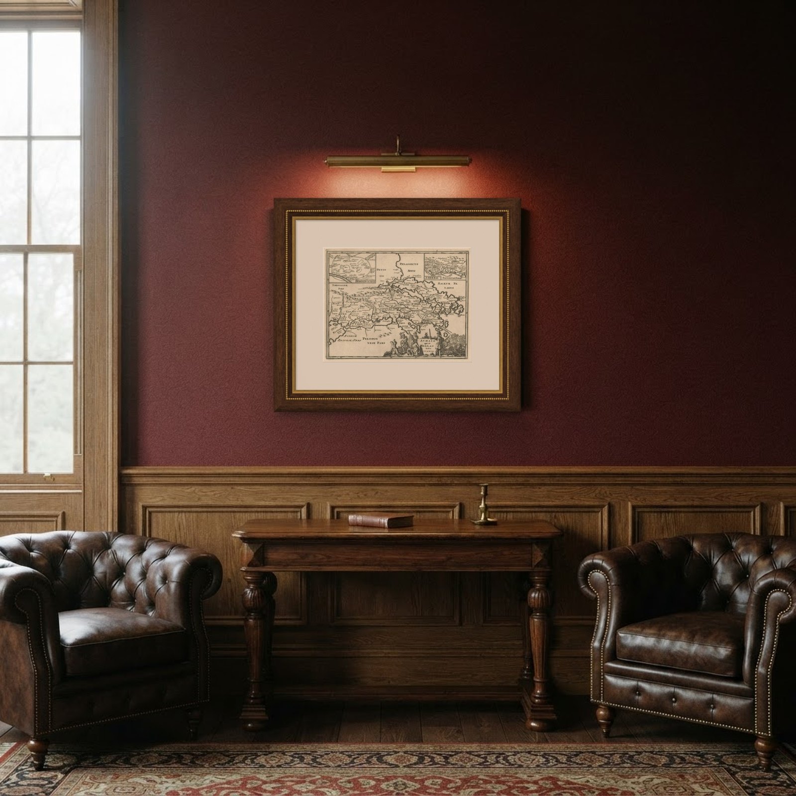
Frame and rooms are illustrations of how the piece could look; it is sold unframed unless the description says otherwise.
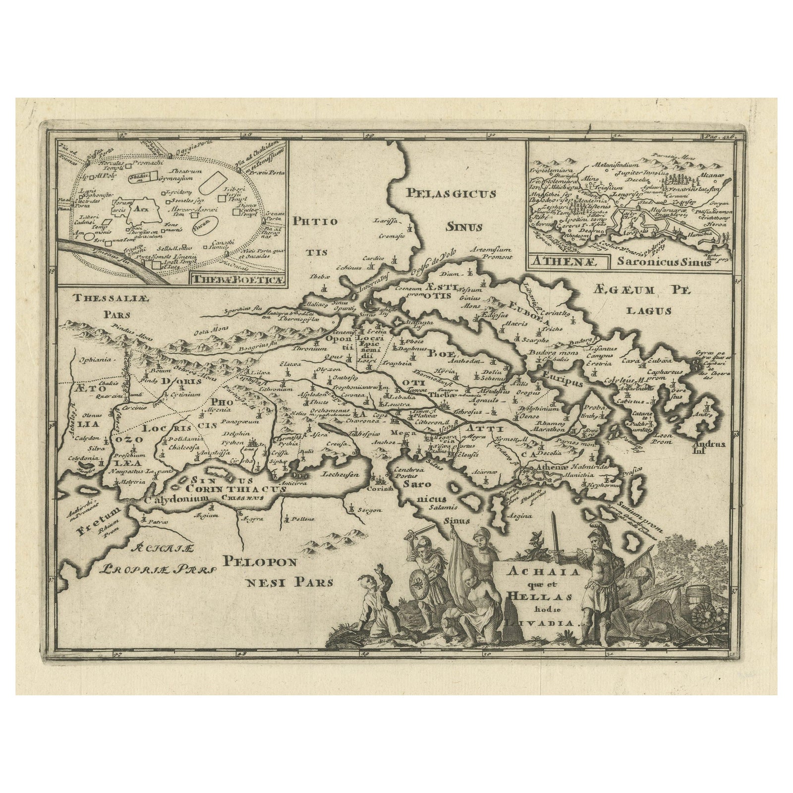
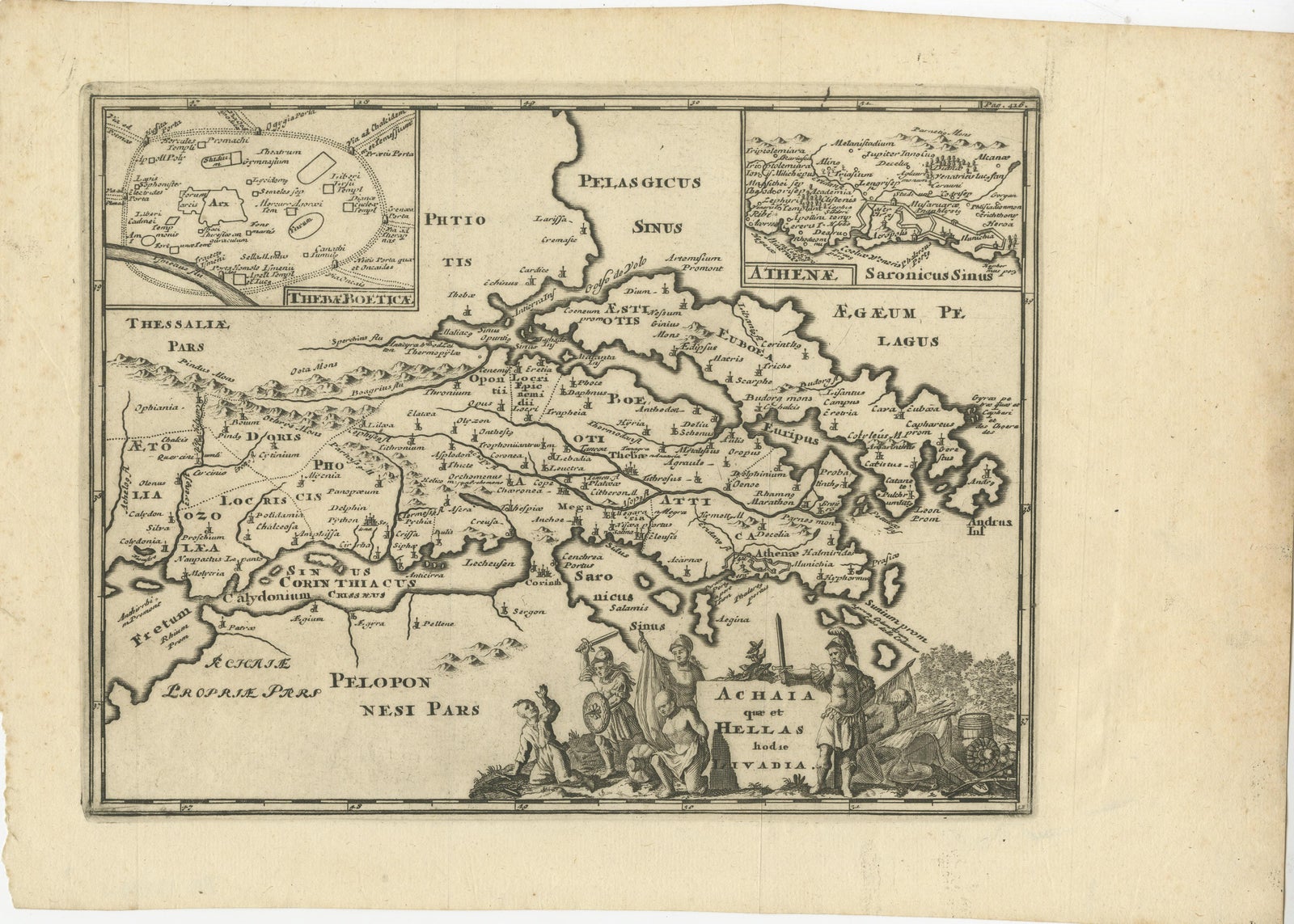
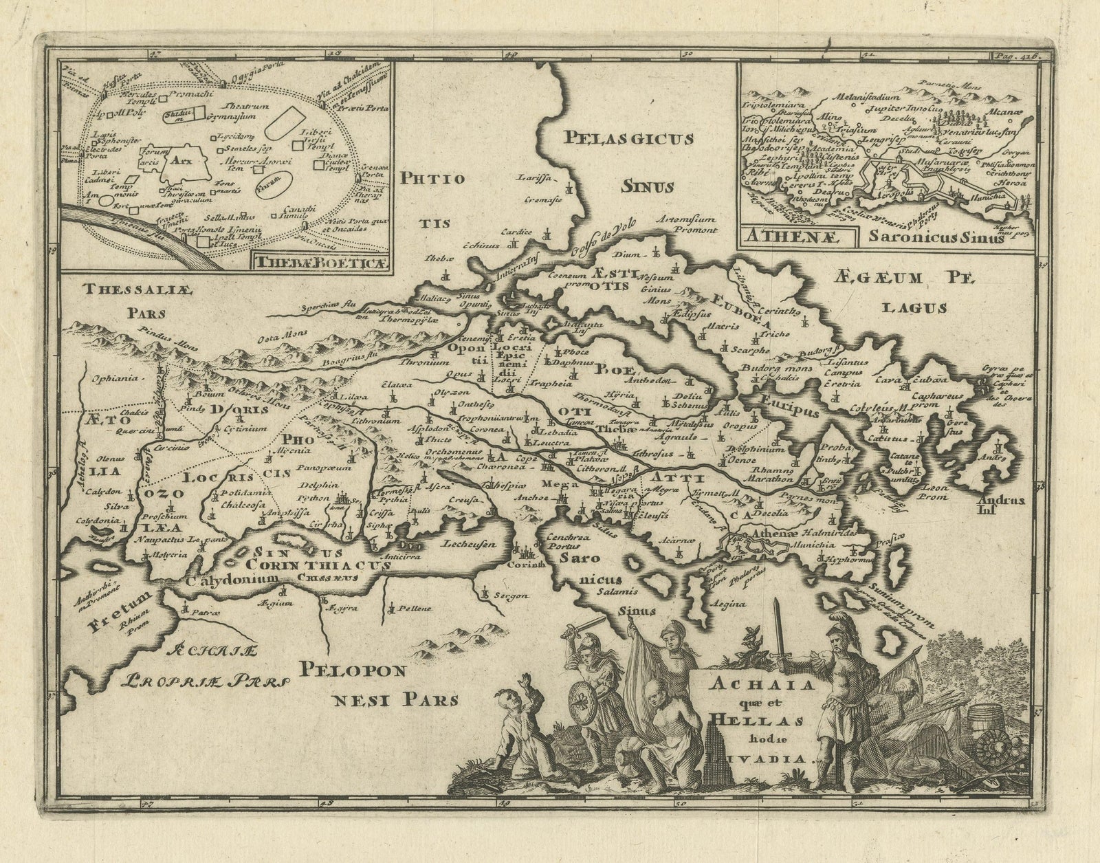
Original Antique Map of the Coast of Part of Greece, with Athens and Thebes
€440
$495 · £375
Original print, not a reproduction.
Ships worldwide from the Netherlands, flat, insured and tracked. 14-day returns. To buy, use Ask a question and we will reserve it for you.
- Date
- Not stated
- Sheet size
- 9.8 × 14.4 in (24.8 × 36.5 cm)
- Condition
- Good. Wear consistent with age and use. General age-related toning. Original folding lines. Defect left margin. Minor wear, blank verso. Please study images carefully.
- Collection
- Sea charts
- Stock no.
- f_31113722
Original antique map titled 'Achaia quae et Hellas hodie Livadia'. Detailed map of the coast of part of Greece. With inset maps of Athens and Thebes. This map originates from 'Philippi Cluveri Introductionis in universam geographiam (..)' by P. Clüver. Published 1729.
Philipp Clüver was an Early Modern German geographer and historian. Cluver's Geography was one of the most enduring works of the 17th & 18th Centuries, issued by several different publishers with many different sets of maps over nearly 200 years.
EXPLORE