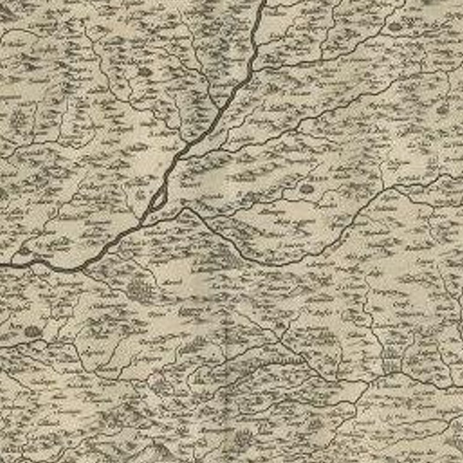
Close-ups
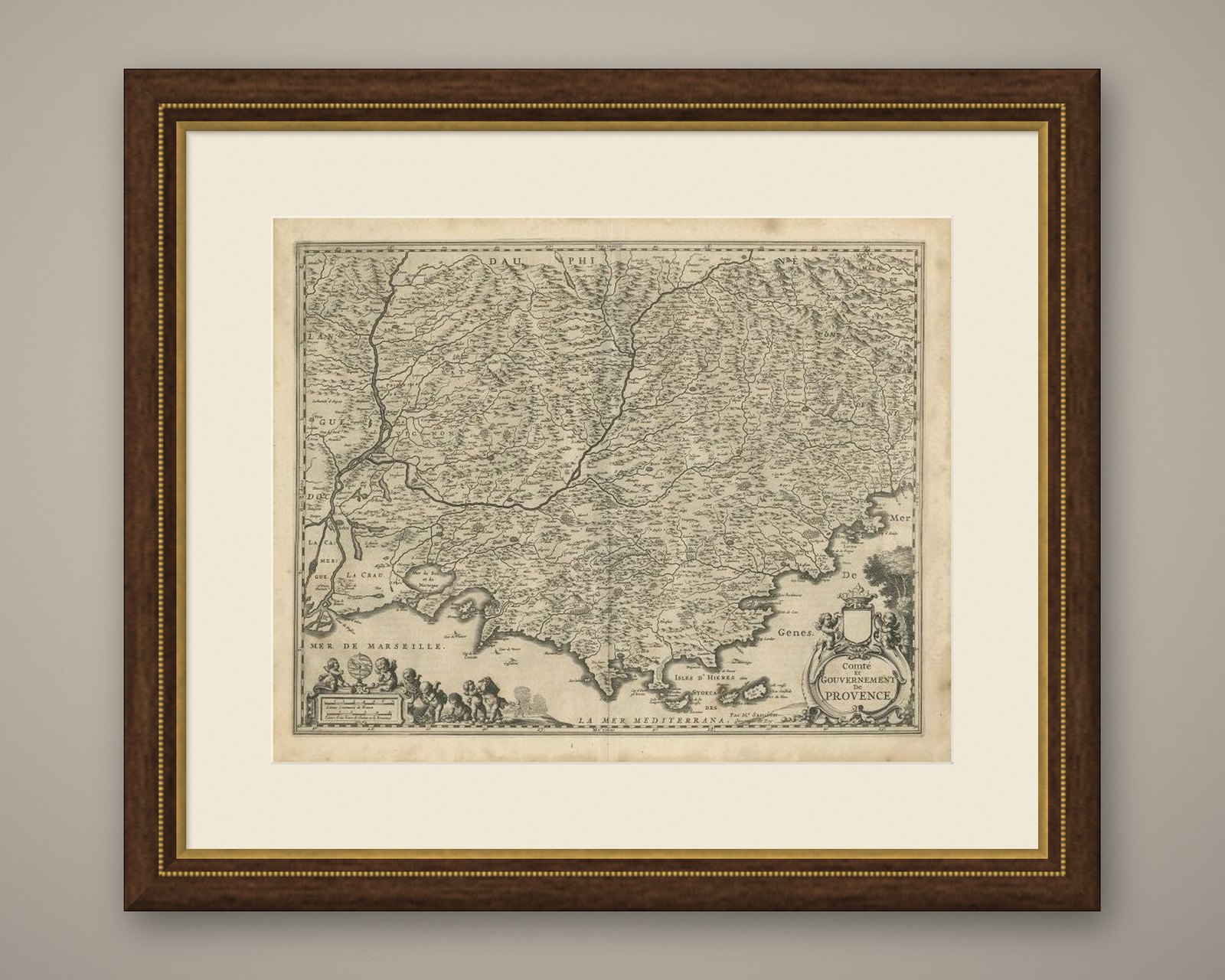
Framed and on the wall
Frame and rooms are illustrations of how the piece could look; it is sold unframed unless the description says otherwise.
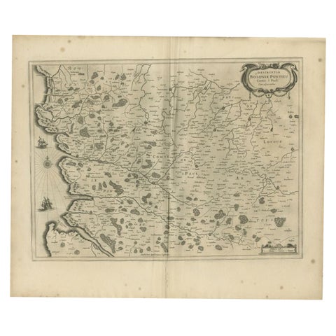
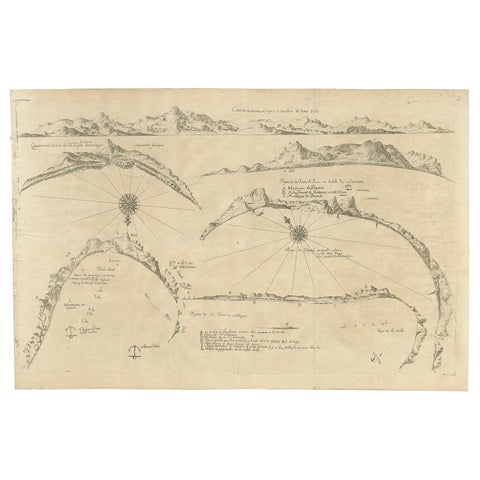
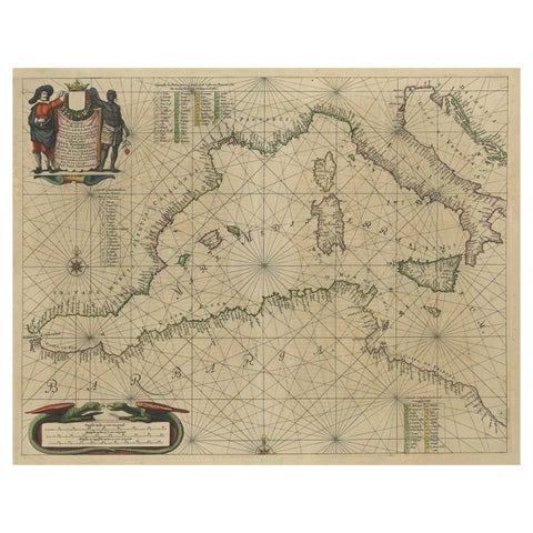
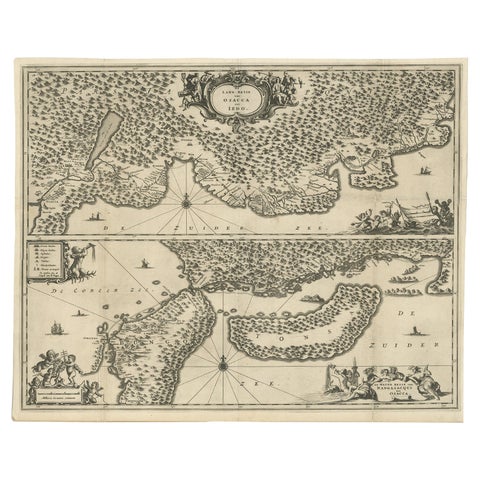
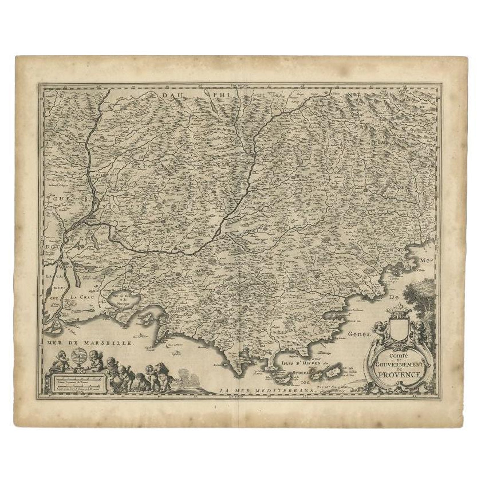
Original Antique Map of the Southern Coast of France by Janssonius, 1657
£605£42030% off
$555 · €504
Original print, not a reproduction.
Ships worldwide from the Netherlands, flat or rolled, insured and tracked. 14-day returns.
- Date
- 1657
- Sheet size
- 19.7 × 23.6 in (50 × 60 cm)
- Condition
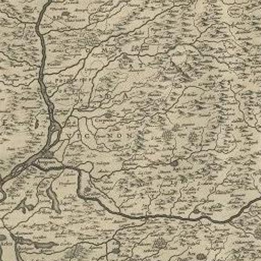
- Good. General age-related toning. Minor foxing, Latin text on verso. Please study image carefully.
- Collection
- Sea charts
- Era
- Before 1700, Dutch Golden Age
- Stock no.
- BG-12082-53
What the condition grades mean
- Excellent
- Bright and clean, with no faults worth mentioning.
- Very good
- Only light signs of age, such as faint toning.
- Good
- Normal signs of age for a sheet of this period: toning, some foxing, small marks or neat old repairs.
- Fair
- Clear faults such as staining, tears or repairs, priced to match.
Every fault we see is written in the condition note, and the whole sheet is shown uncropped in the photos.
Antique map of France titled 'Comté et Gouvernement de Provence'. Decorative map of the southern coast of France. This map originates from 'Atlas Novus, Sive Theatrum Orbis Orbis Terrarum: In quo Galliae, Helvetiae (..)' by J. Janssonius (1656-1657).
Artists and Engravers: Johannes Janssonius also known as Jan Jansson (1588-1664) was born in Arnhem, Netherlands. His father was a bookseller and publisher (Jan Janszoon the Elder). When he married the daughter of the cartographer Jodocus Hondius he also set up a business as book publisher in Amsterdam. His first map was published in 1616. Around 15 years later he set up a partnership with his brother in law Hondius add issued further editions of the Mercator/Hondius atlas. After his death his heirs still have published several maps. Many of his plates have been acquired by Pieter Schenk and Gerard Valk.
Image size: 54 x 43 cm.