Close-ups
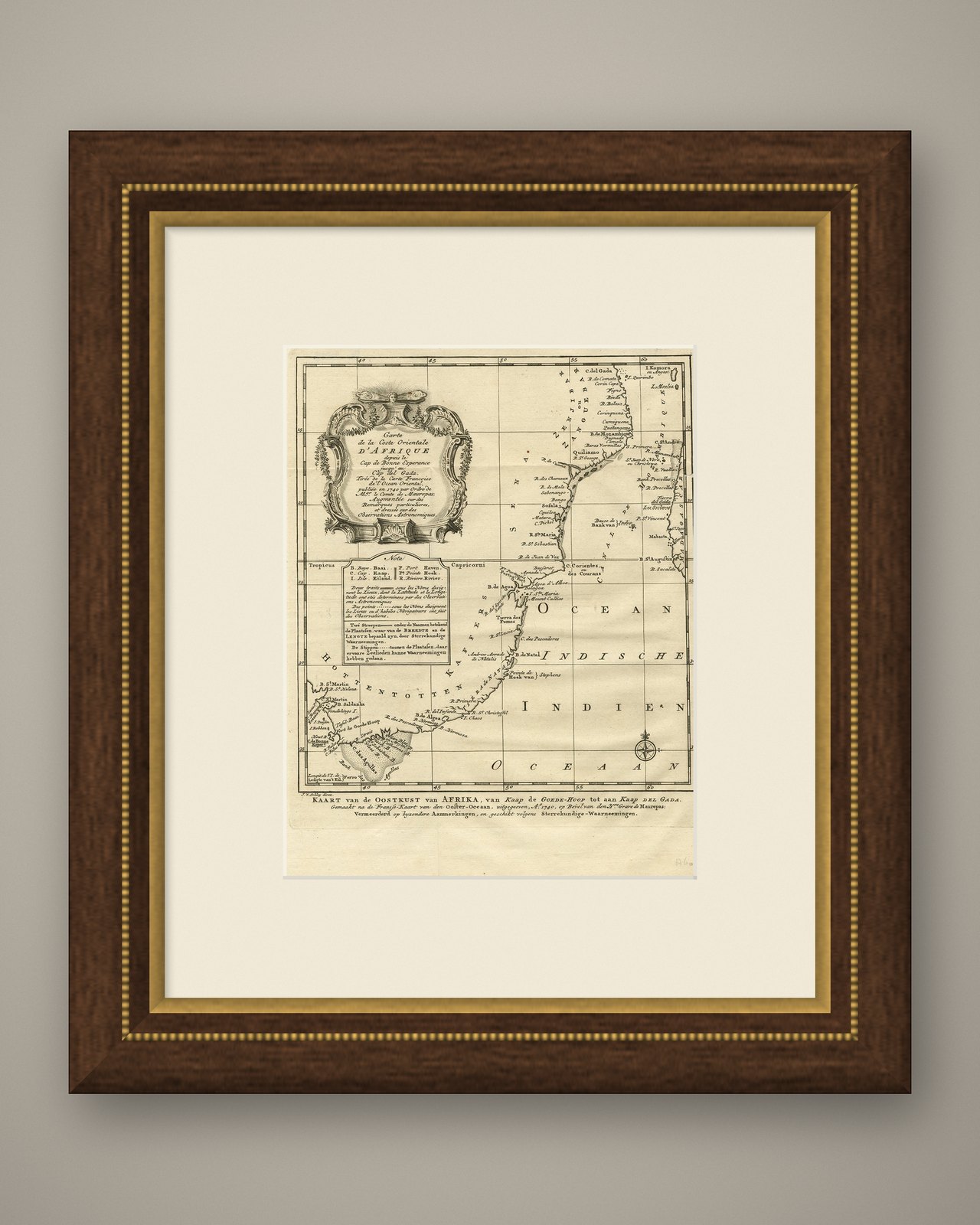
Framed and on the wall
Frame and rooms are illustrations of how the piece could look; it is sold unframed unless the description says otherwise.
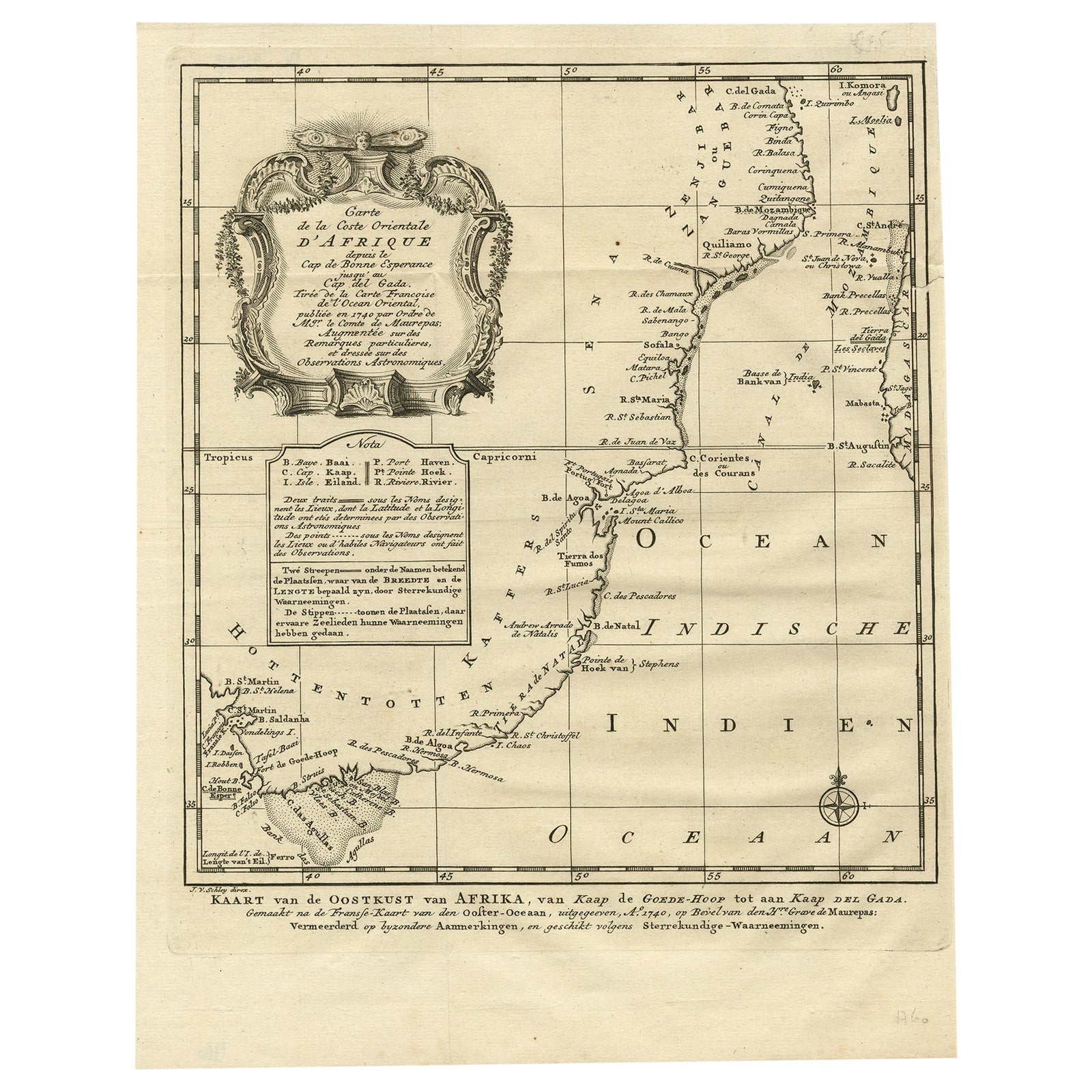
Original Detailed Antique Map of the East Coast of Africa, 1747
€190
$215 · £160
Original print, not a reproduction.
Ships worldwide from the Netherlands, flat, insured and tracked. 14-day returns.
- Date
- 1747
- Sheet size
- 11.9 × 9.4 in (30.2 × 24 cm)
- Condition
- Good. Minor structural damages.
- Collection
- Sea charts
- Era
- 1700 to 1789, Age of discovery
- Stock no.
- f_26675532
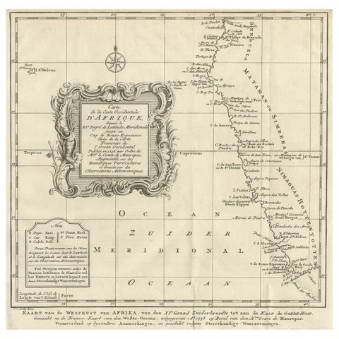
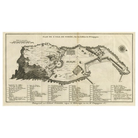
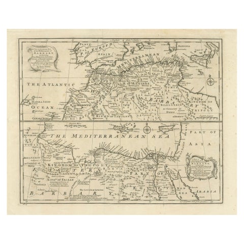
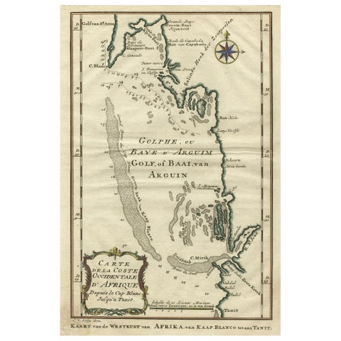
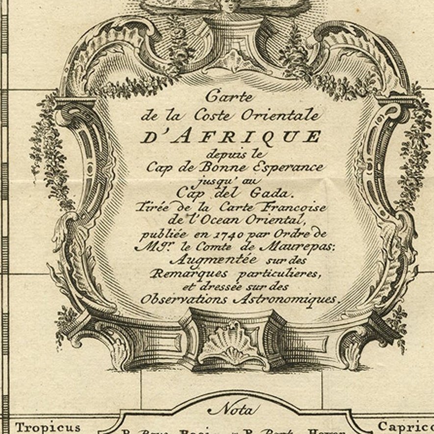
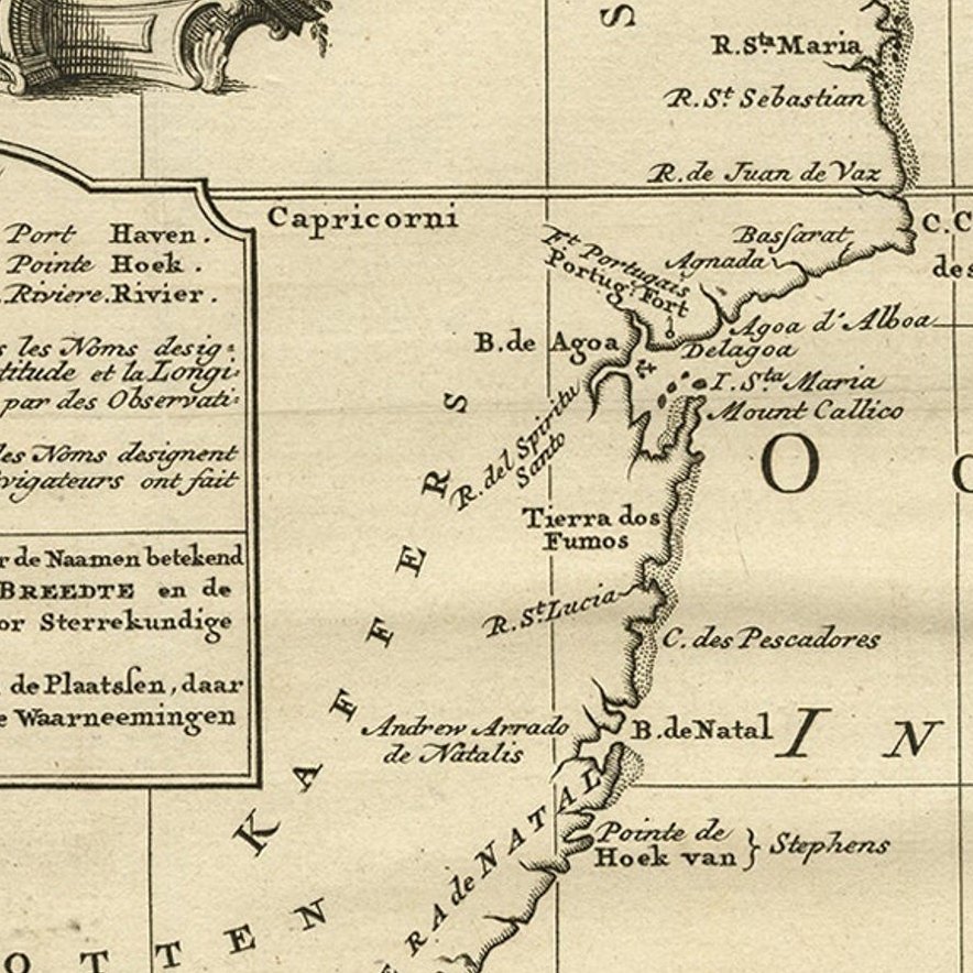
Antique map titled 'Carte de la coste Orientale d'Afrique, Kaart van de Oostkust van Afrika'.
Original antique map of the east coast of Africa. Reaches from Cape of Good Hope and the land of the Hottentots in the south to northern Mozambique. To the east is a bit of Madagascar and surrounding islands to be seen. This map originates from 'Historische beschryving der Reizen' published by P. de Hondt.
Artists and Engravers: Jacob van der Schley was a dutch engraver and artist, who studied under the French engraver Bernard Picart (1673-1733) since he was 12.
Condition: Good, small tear upper right. Original plate mark visible. Original folds, as issued. Please study scan carefully.
EXPLORE