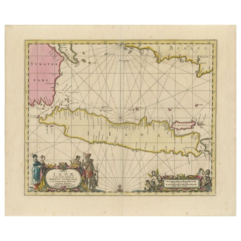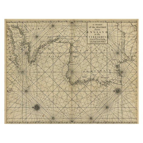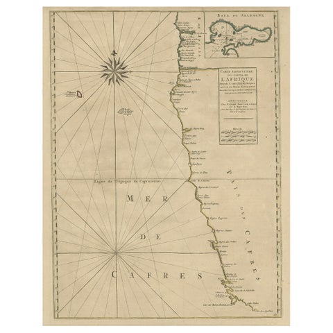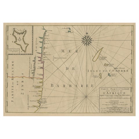
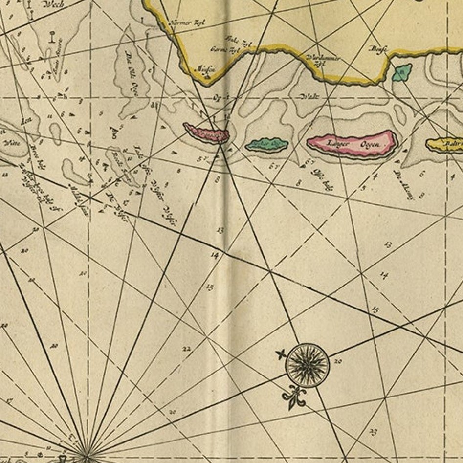
Close-ups
Framed and on the wall
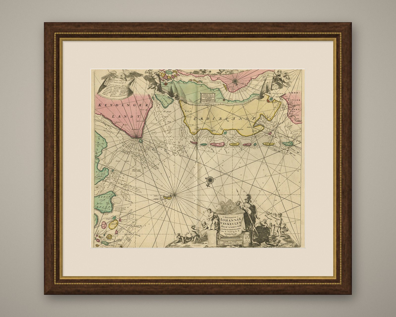
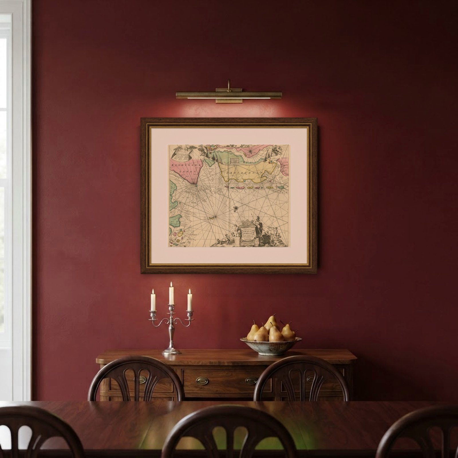
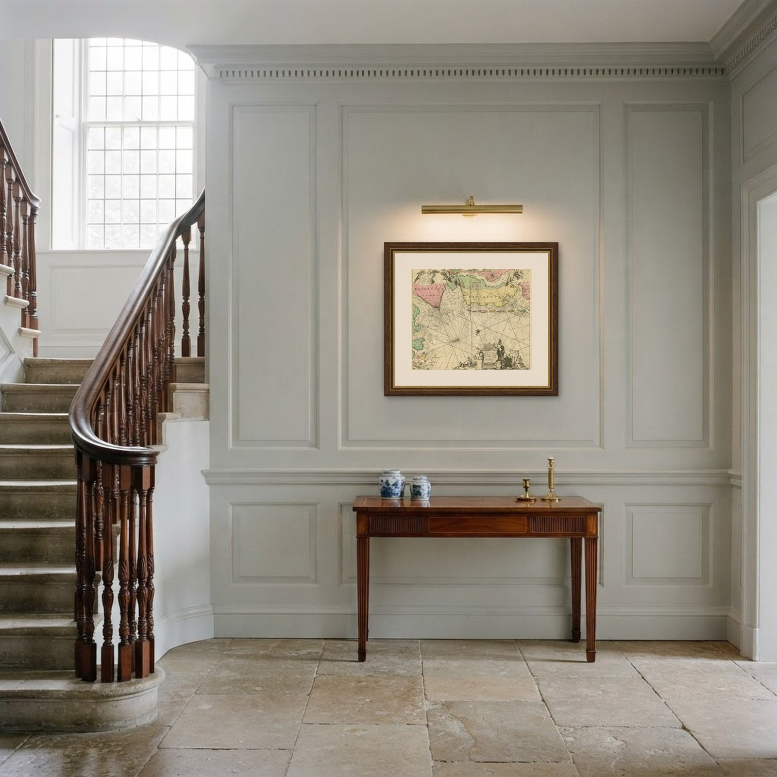
Frame and rooms are illustrations of how the piece could look; it is sold unframed unless the description says otherwise.
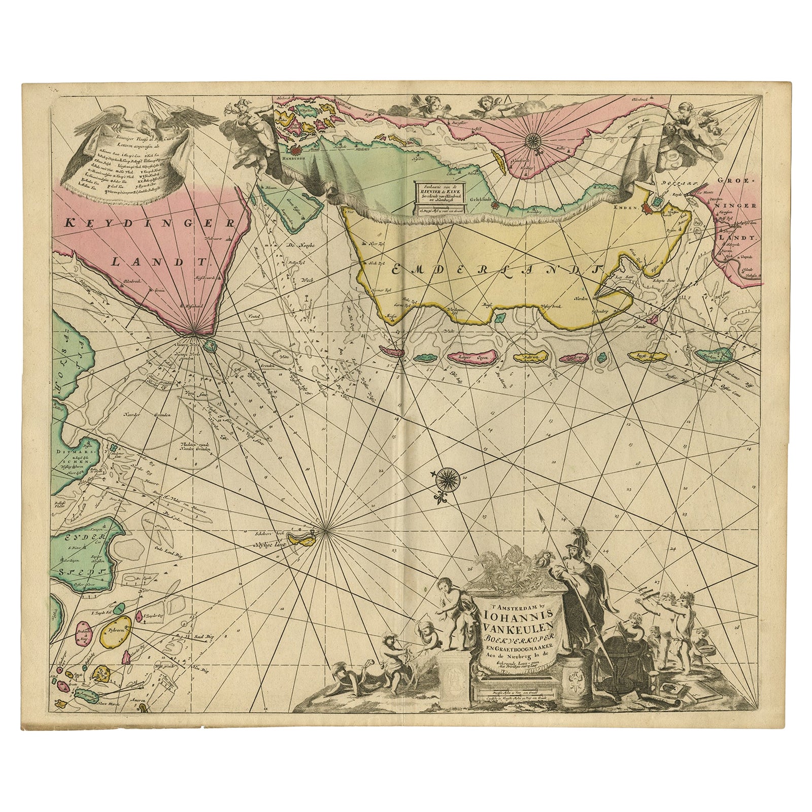
Rare Sea Chart of the East Frisian Islands or Watten and the North Sea, c.1700
$2,075
€1,850 · £1,565
Original print, not a reproduction.
Ships worldwide from the Netherlands, flat, insured and tracked. 14-day returns. To buy, use Ask a question and we will reserve it for you.
- Date
- 1700
- Sheet size
- 20.9 × 24.7 in (53.2 × 62.8 cm)
- Condition
- Very good, given age. Original middle fold as issued. General age-related toning and /or occasional minor defects from handling. Please study image carefully.
- Collection
- Sea charts
- Era
- 1700 to 1789, Age of discovery
- Stock no.
- f_26617222
Description: Antique map titled 'Paskaarte van de rievier de Elve streckende van Oldenbroek tot Hamburgh.'
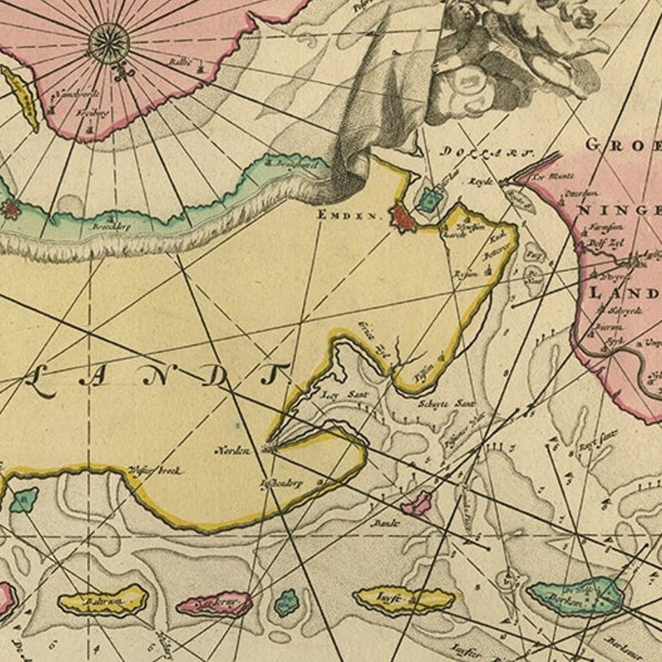
Rare and interesting chart of the East Frisian Islands (or Watten) and the North Sea. Above the Elbe river from Oldenbroek to Hamburg. Beautiful large cartouche with scale below. Also another cartouche with key and a compass rose. Source unknown, to be determined.
Artists and Engravers: Johannes van Keulen (1654, Deventer, 1715, Amsterdam) was a 17th-century Dutch cartographer.
Condition: Very good, given age. Original middle fold as issued. General age-related toning and /or occasional minor defects from handling. Please study image carefully.