Close-ups
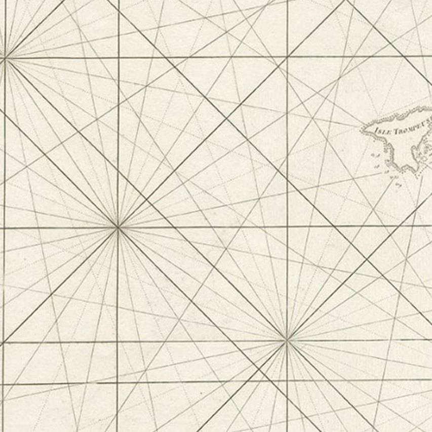
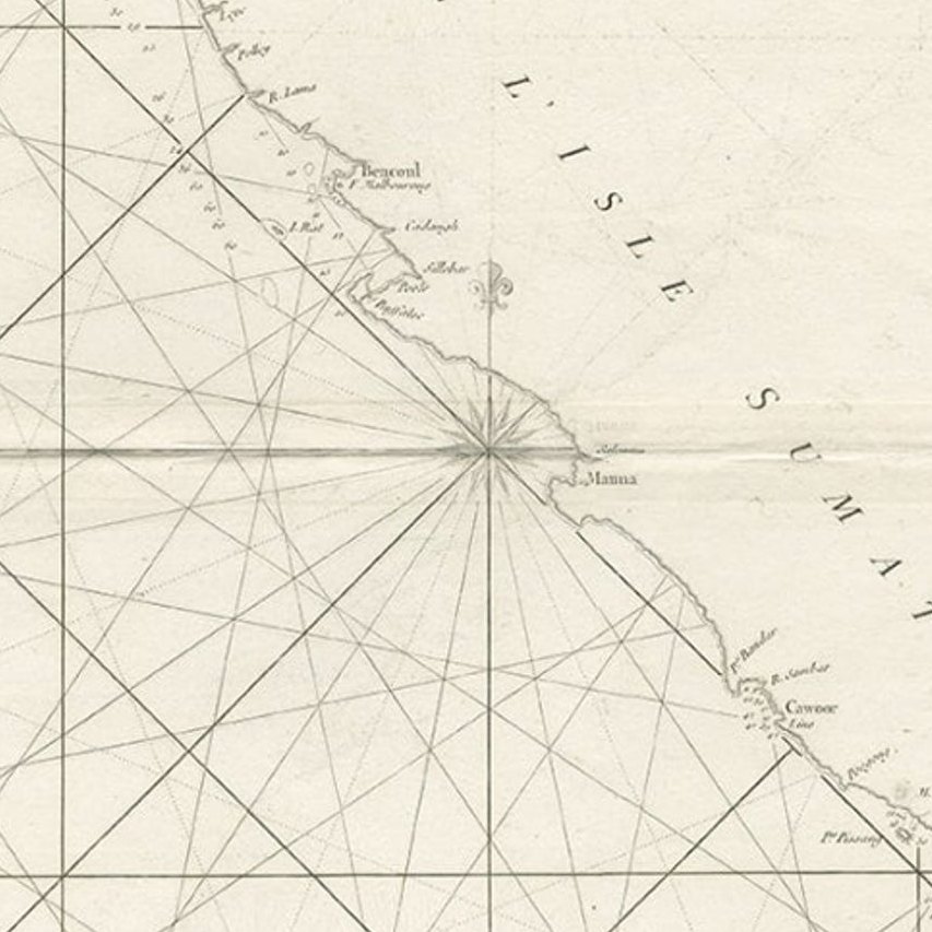
Framed and on the wall
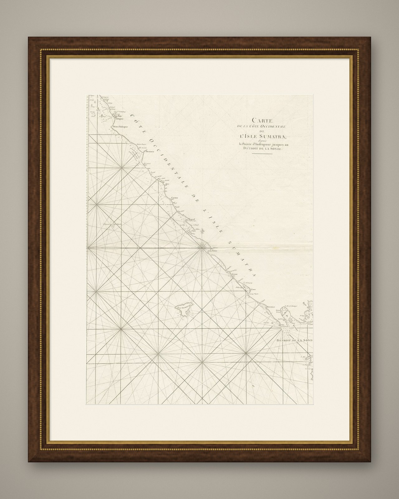


Frame and rooms are illustrations of how the piece could look; it is sold unframed unless the description says otherwise.
Sea Chart of Part of the Southwestern Coast of Sumatra & Nias, Indonesia, C1775
£455
$605 · €540
Original print, not a reproduction.
Ships worldwide from the Netherlands, flat, insured and tracked. 14-day returns. To buy, use Ask a question and we will reserve it for you.
- Date
- 1775
- Sheet size
- 30.7 × 21.7 in (78 × 55 cm)
- Condition
- Good. General age-related toning. Few stains, blank verso. Please study image carefully.
- Collection
- Sea charts
- Era
- 1700 to 1789, Age of discovery
- Stock no.
- f_27388132
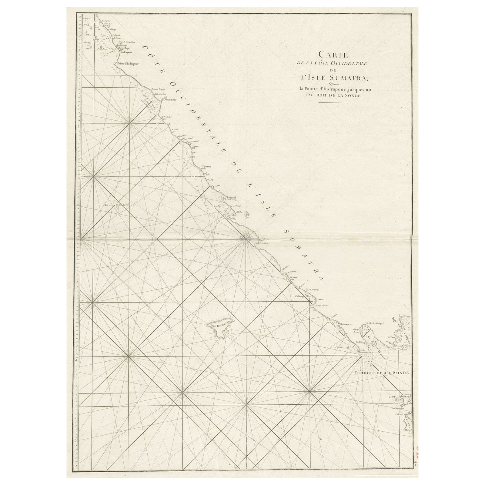
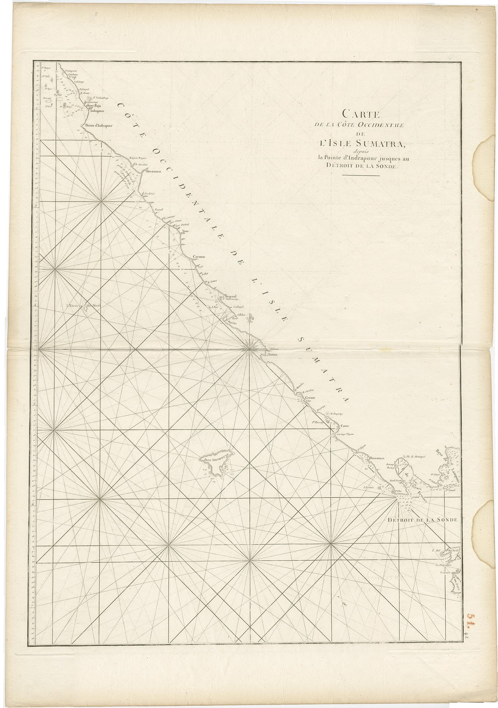
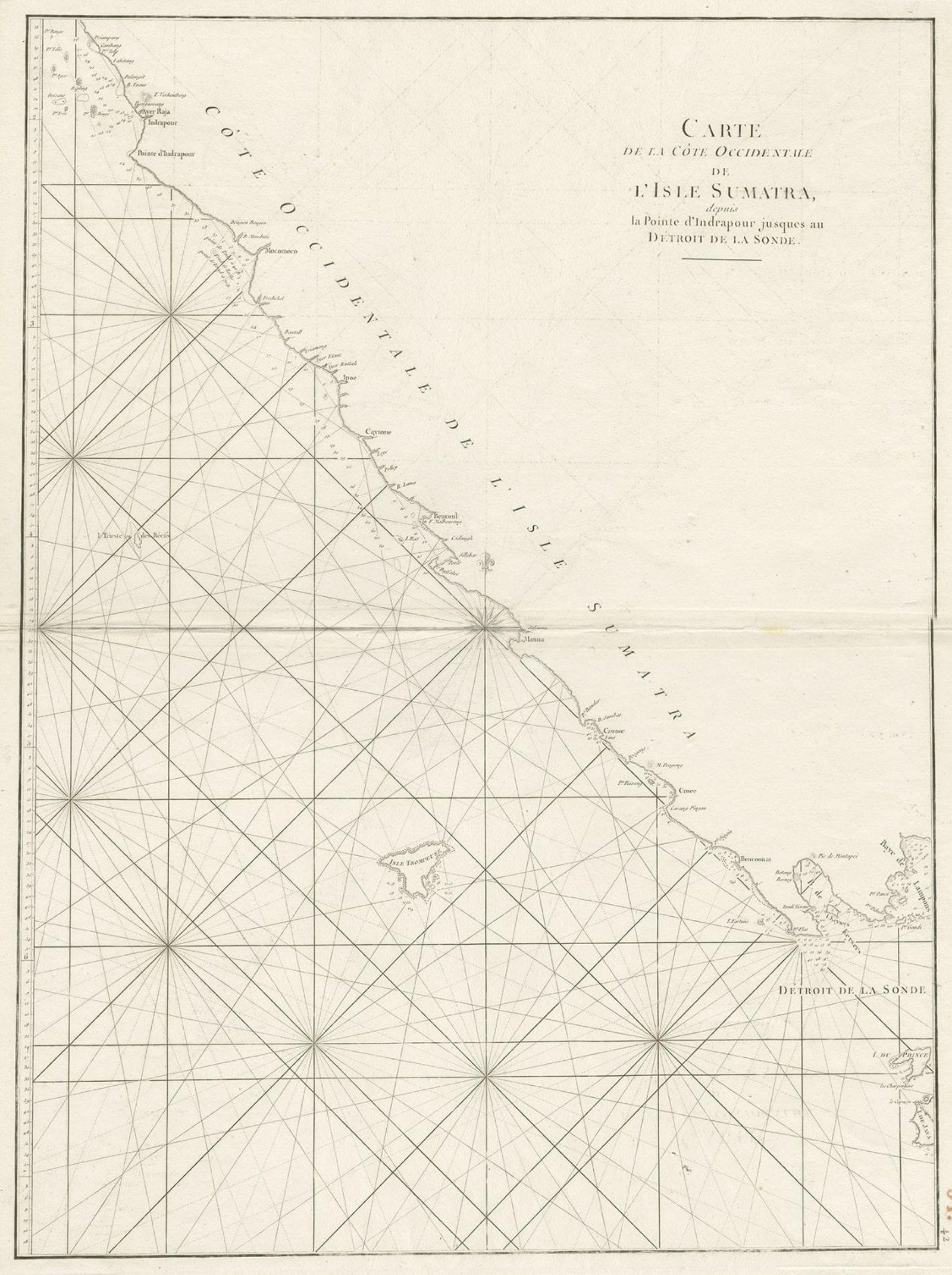
Antique map titled 'Carte de la Côte Occidentale de l'Isle Sumatra'. Sea chart of the part of the south-western coast of Sumatra with the Nassau (Nias) and Fortune isles.
Artists and Engravers: D' Après de Mannevillette (1707-1780) was a famous French sailor and hydrograph. During a voyage to China in 1728 he succeeded in correcting the latitudes of many places using new instruments. Back in France he devised a plan to correct and publish all the existing maps of the route to China: the Red Sea, the coasts of India, Malaya, the northern parts of Indonesia, Indochina and China.