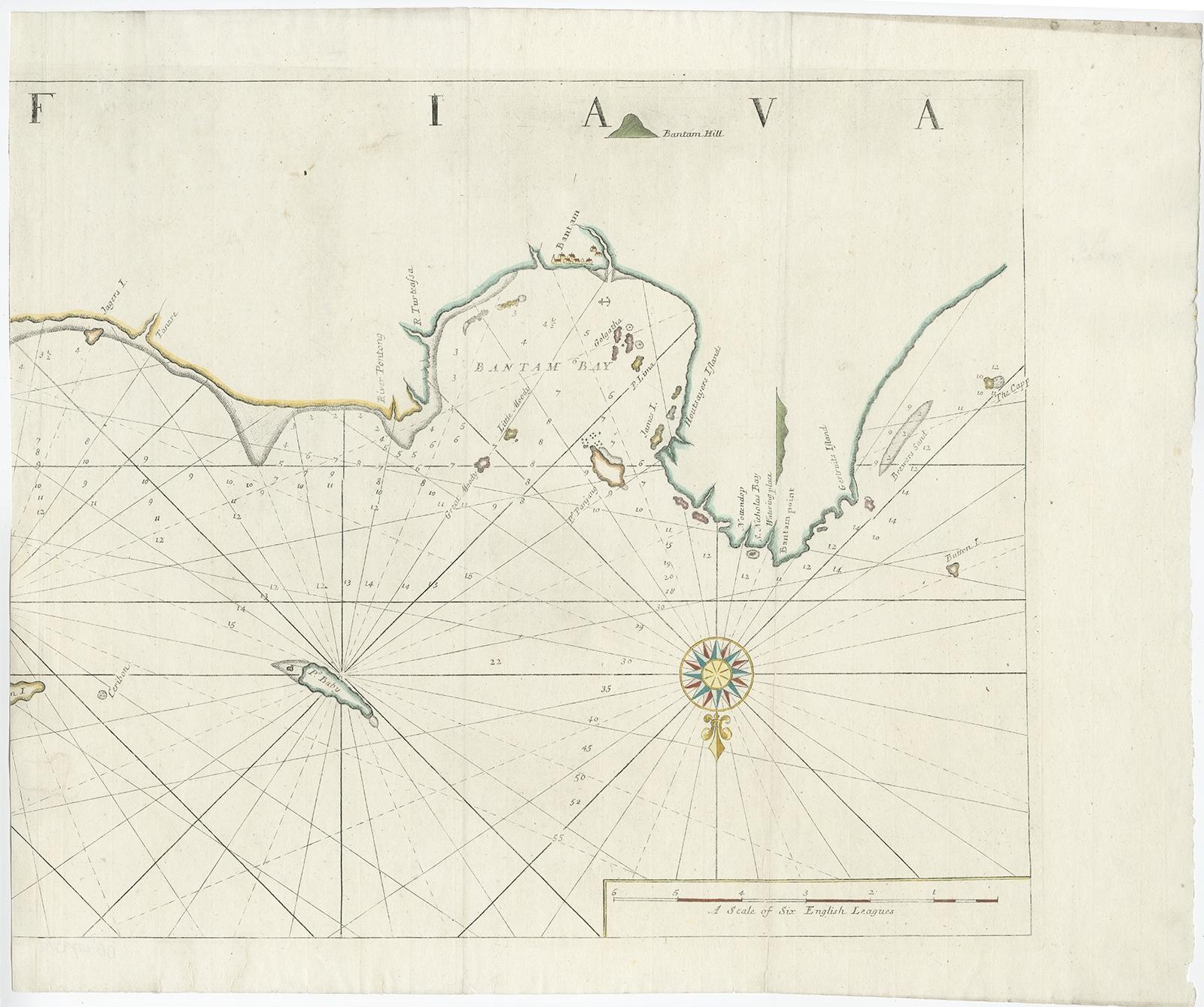
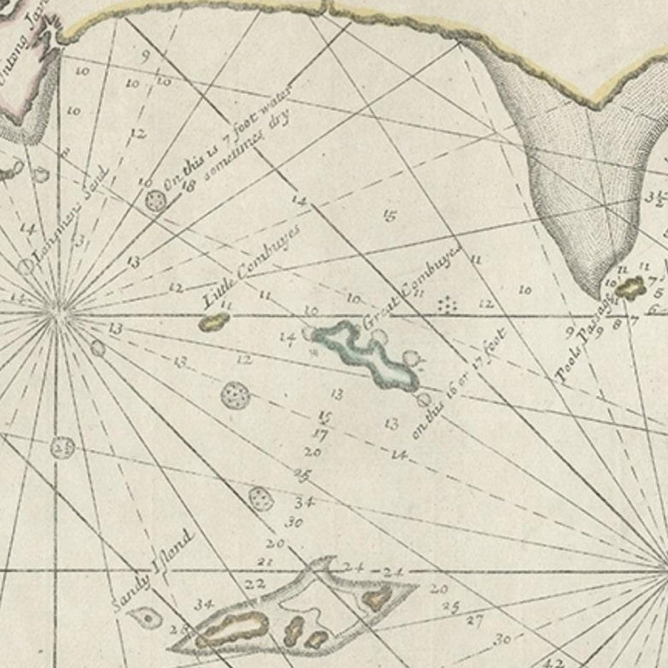
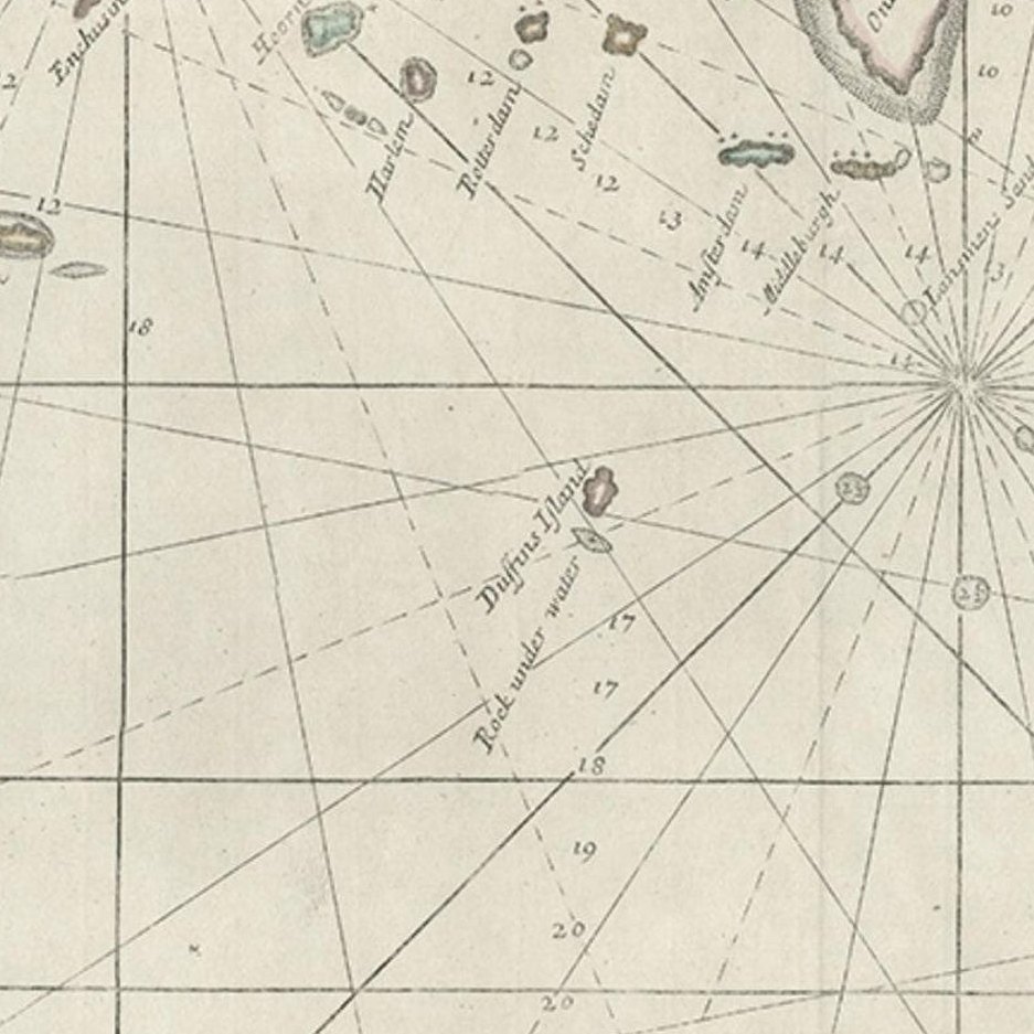
Close-ups
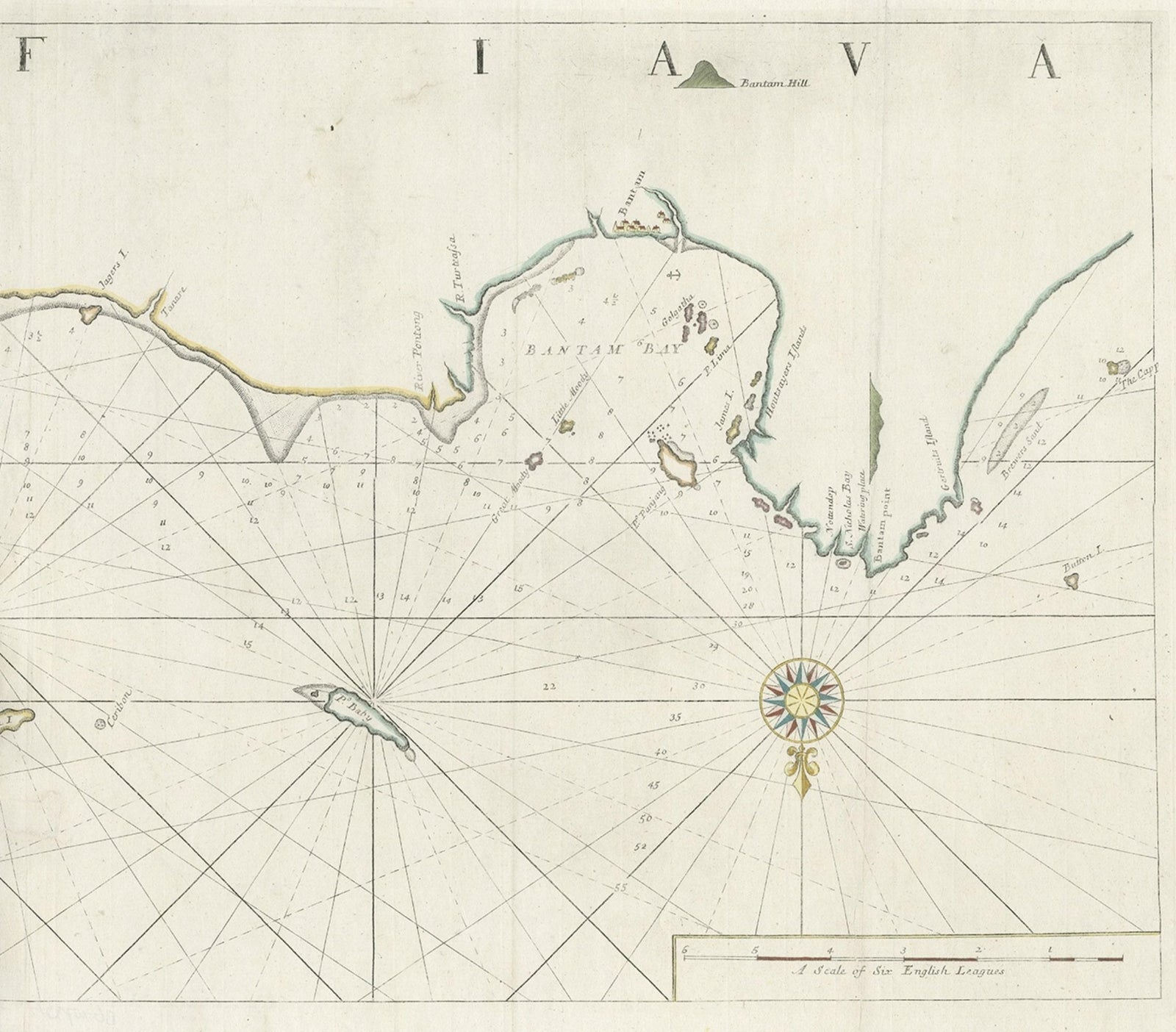
Framed and on the wall
Frame and rooms are illustrations of how the piece could look; it is sold unframed unless the description says otherwise.
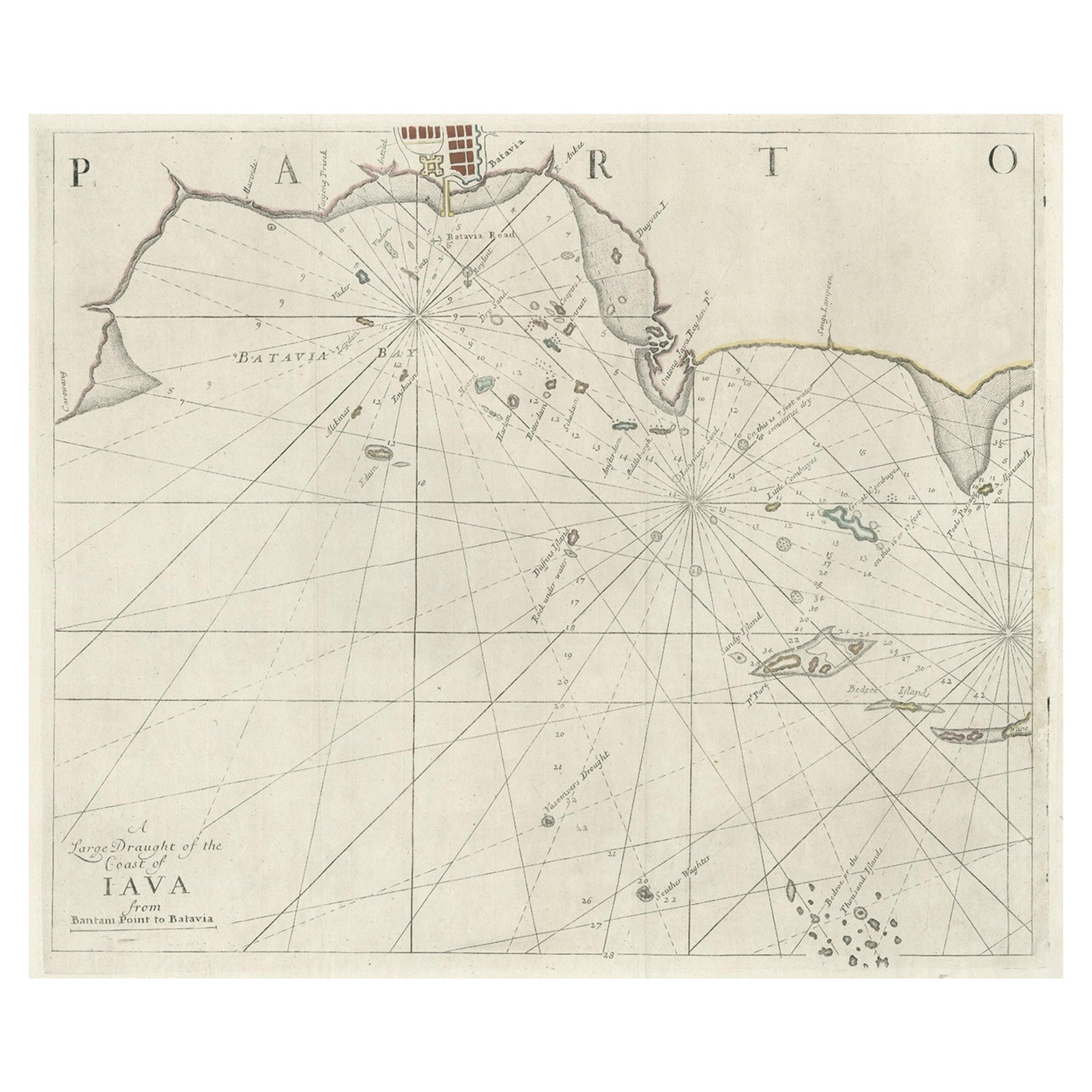
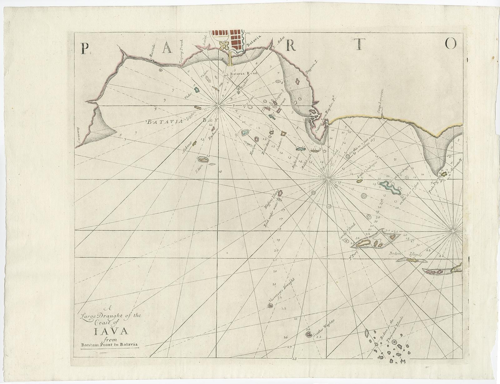
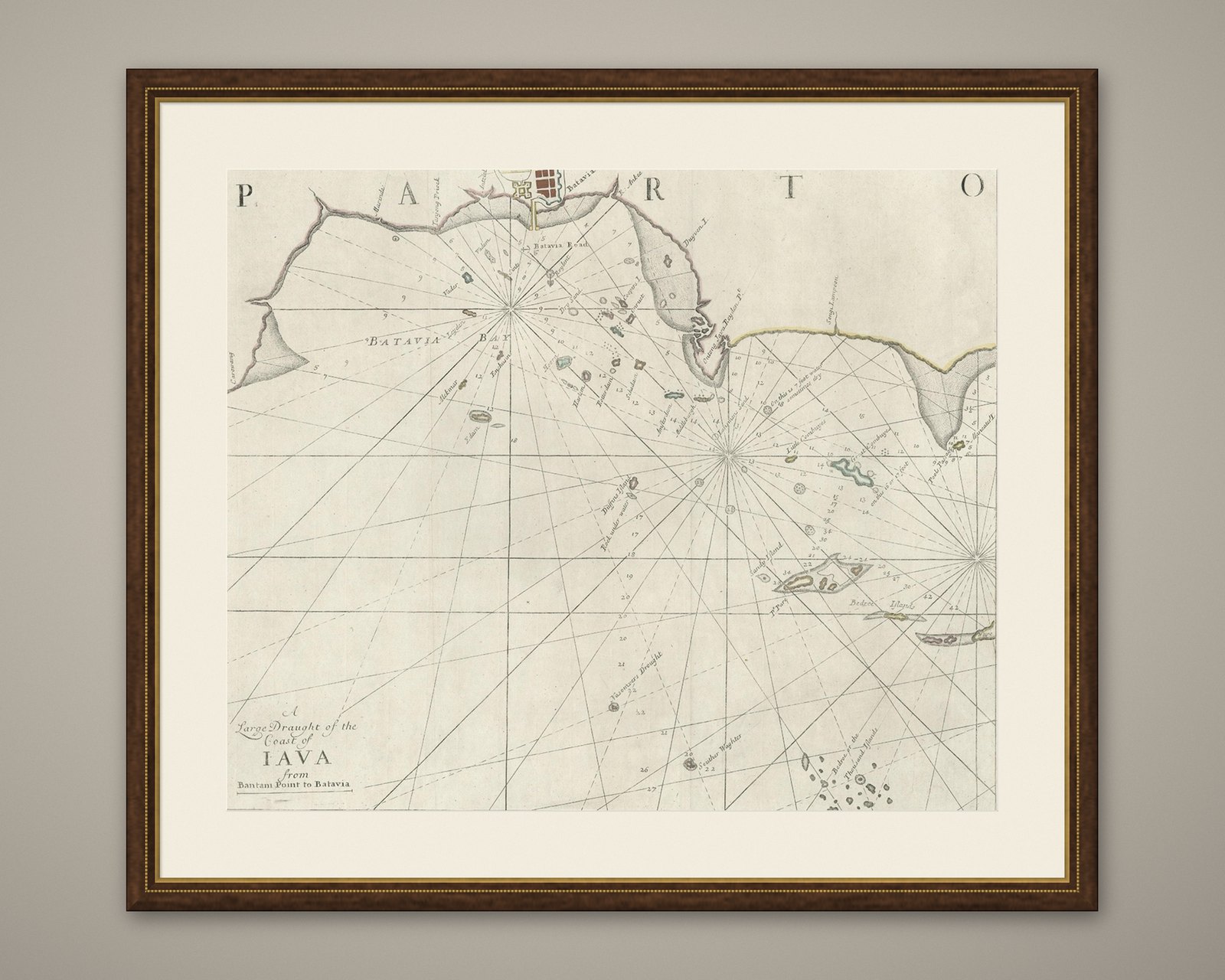
Two Antique Sea Charts of the Thousand Islands between Batavia and Bantam, c1734
£1,400
$1,850 · €1,650
Original print, not a reproduction.
Ships worldwide from the Netherlands, flat, insured and tracked. 14-day returns. To buy, use Ask a question and we will reserve it for you.
- Date
- 1734
- Sheet size
- 20.1 × 49.6 in (51 × 126 cm)
- Condition
- Good. Minor tears and repairs. Map has been cleaned before. Please study image carefully.
- Collection
- Sea charts
- Era
- 1700 to 1789, Age of discovery
- Stock no.
- f_26707092
Antique maps titled 'A large draught of the Coast of Iava from Bantam Point to Batavia'. Two seperate sheets, joined together they depict the island of Java, Indonesia.
Condition: Good. Minor tears and repairs. Map has been cleaned before. Please study image carefully.