Close-ups
Framed and on the wall
Frame and rooms are illustrations of how the piece could look; it is sold unframed unless the description says otherwise.
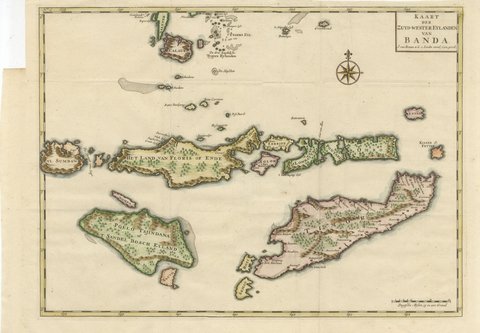
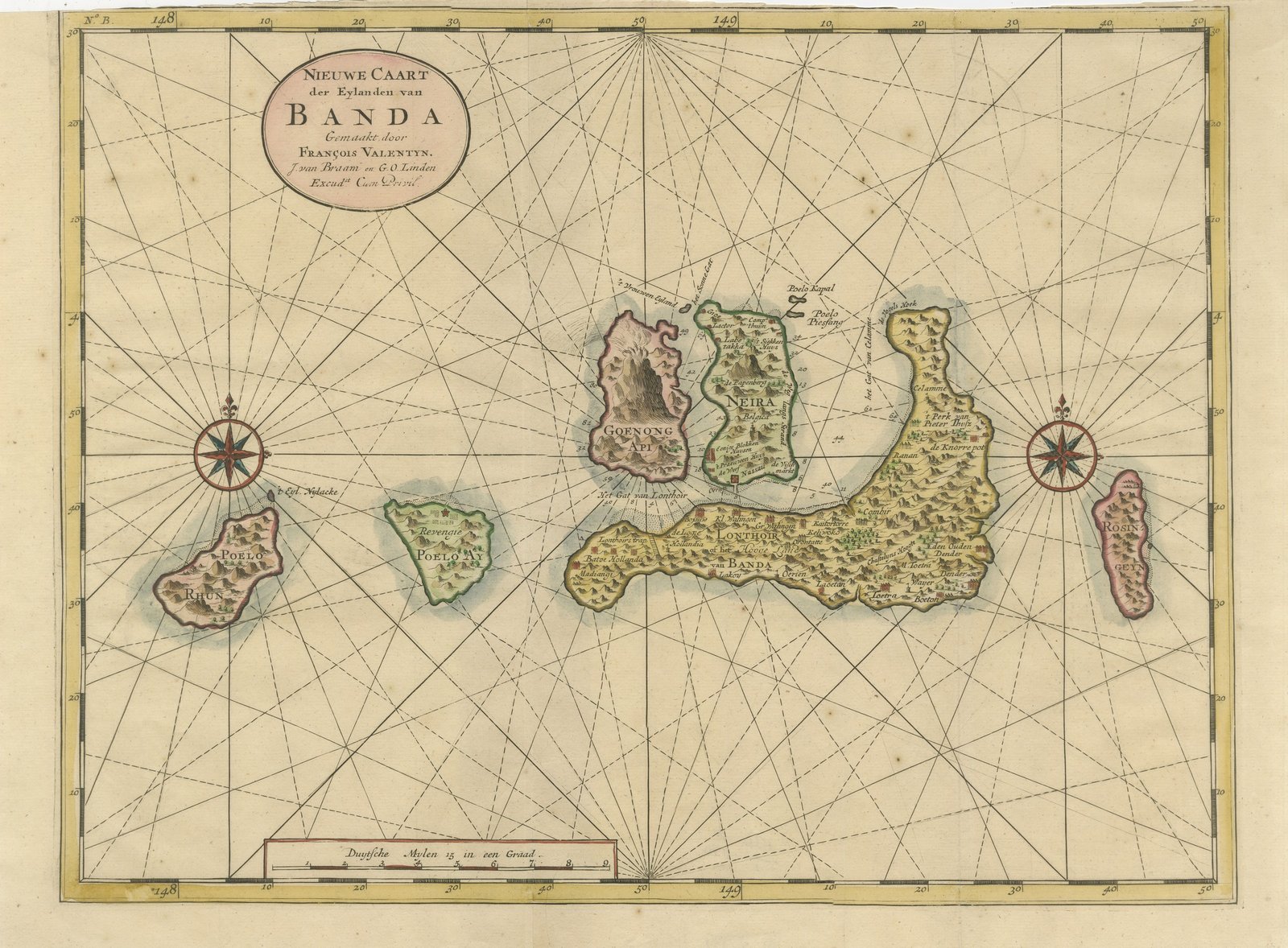
Valentijn Sea Chart of the Banda Nutmeg Islands with Poelo Rhun, 1726
€640
$710 · £535
Original print, not a reproduction.
Ships worldwide from the Netherlands, flat or rolled, insured and tracked. 14-day returns.
- Date
- 1724-1726
- Sheet size
- 13 × 18.1 in (33 × 46 cm)
- Technique
- Copper Engraving
- Coloring
- Original hand color
- Condition
- Good. Light uneven toning, browner towards the edges. Marked handling soiling along the top edge. Scattered foxing in the margin. Slight wear at the bottom right and top left corners. Minor edge wear, shallow nicks along the bottom and top.
- Collection
- Sea charts
- Era
- 1700 to 1789, Age of discovery
- Stock no.
- BG-05944-113
What the condition grades mean
- Excellent
- Bright and clean, with no faults worth mentioning.
- Very good
- Only light signs of age, such as faint toning.
- Good
- Normal signs of age for a sheet of this period: toning, some foxing, small marks or neat old repairs.
- Fair
- Clear faults such as staining, tears or repairs, priced to match.
Every fault we see is written in the condition note, and the whole sheet is shown uncropped in the photos.
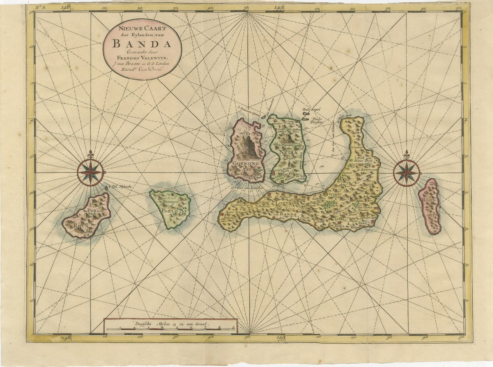
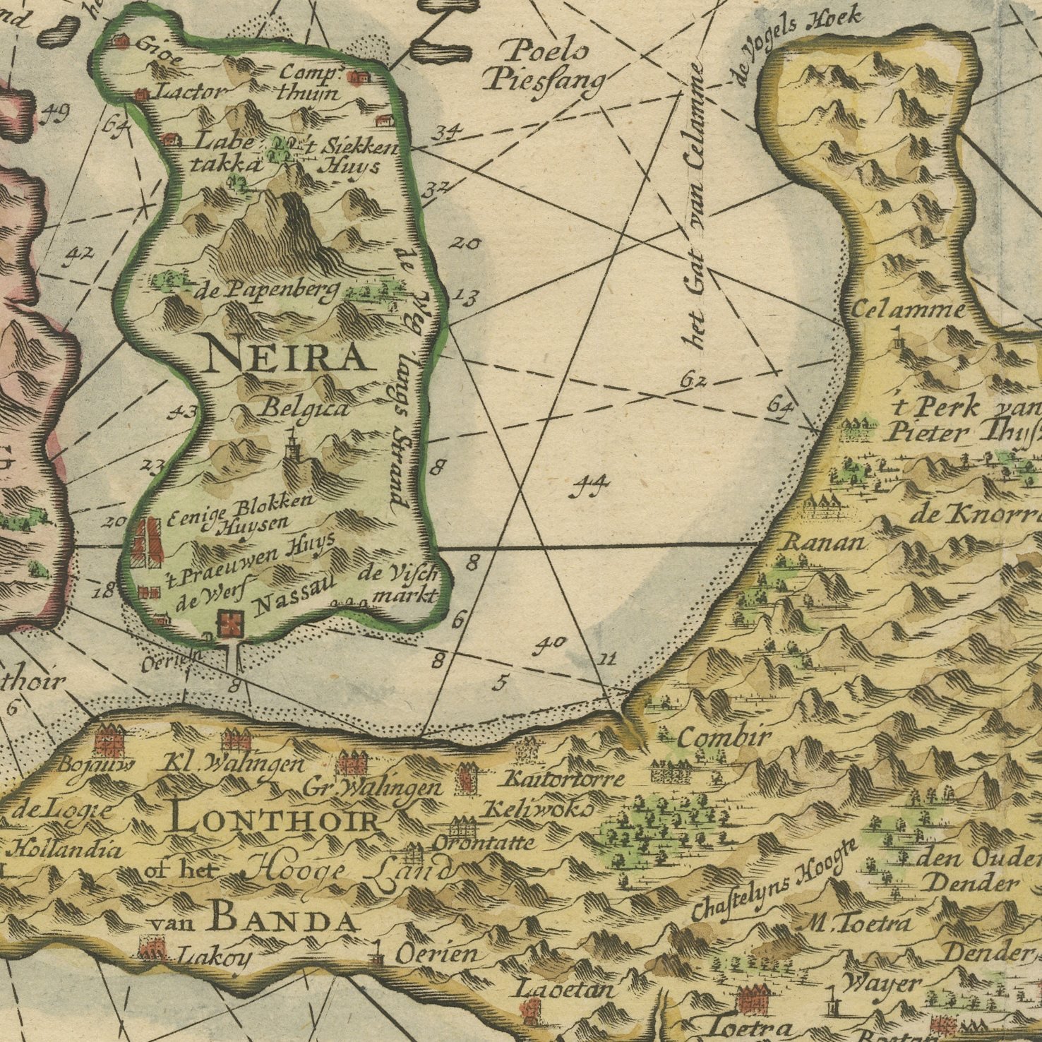
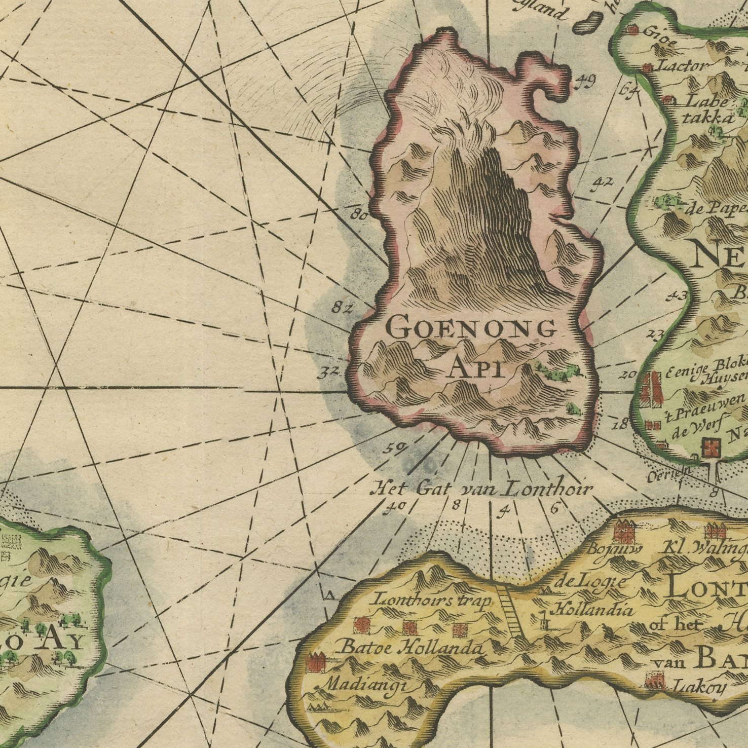
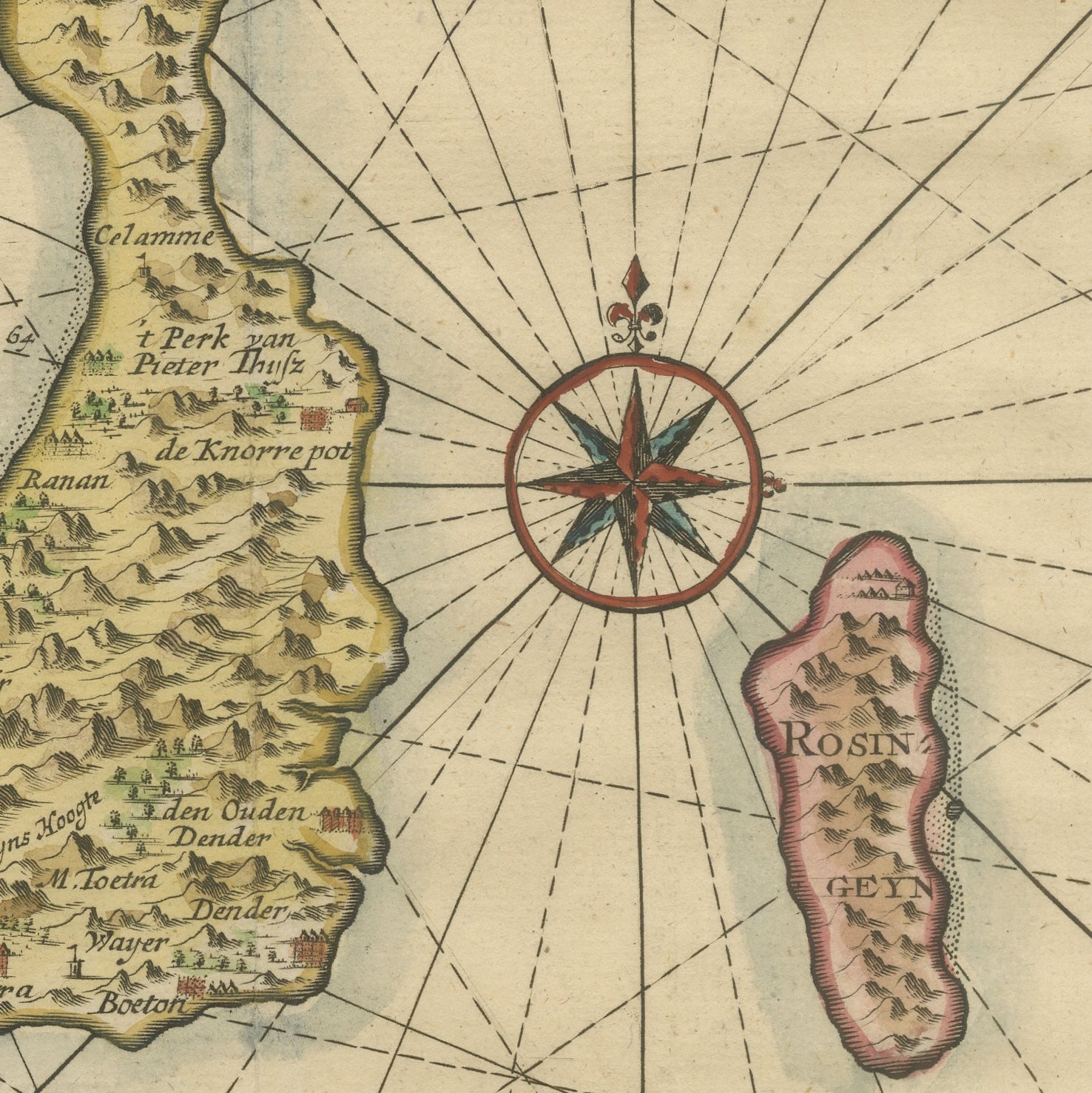
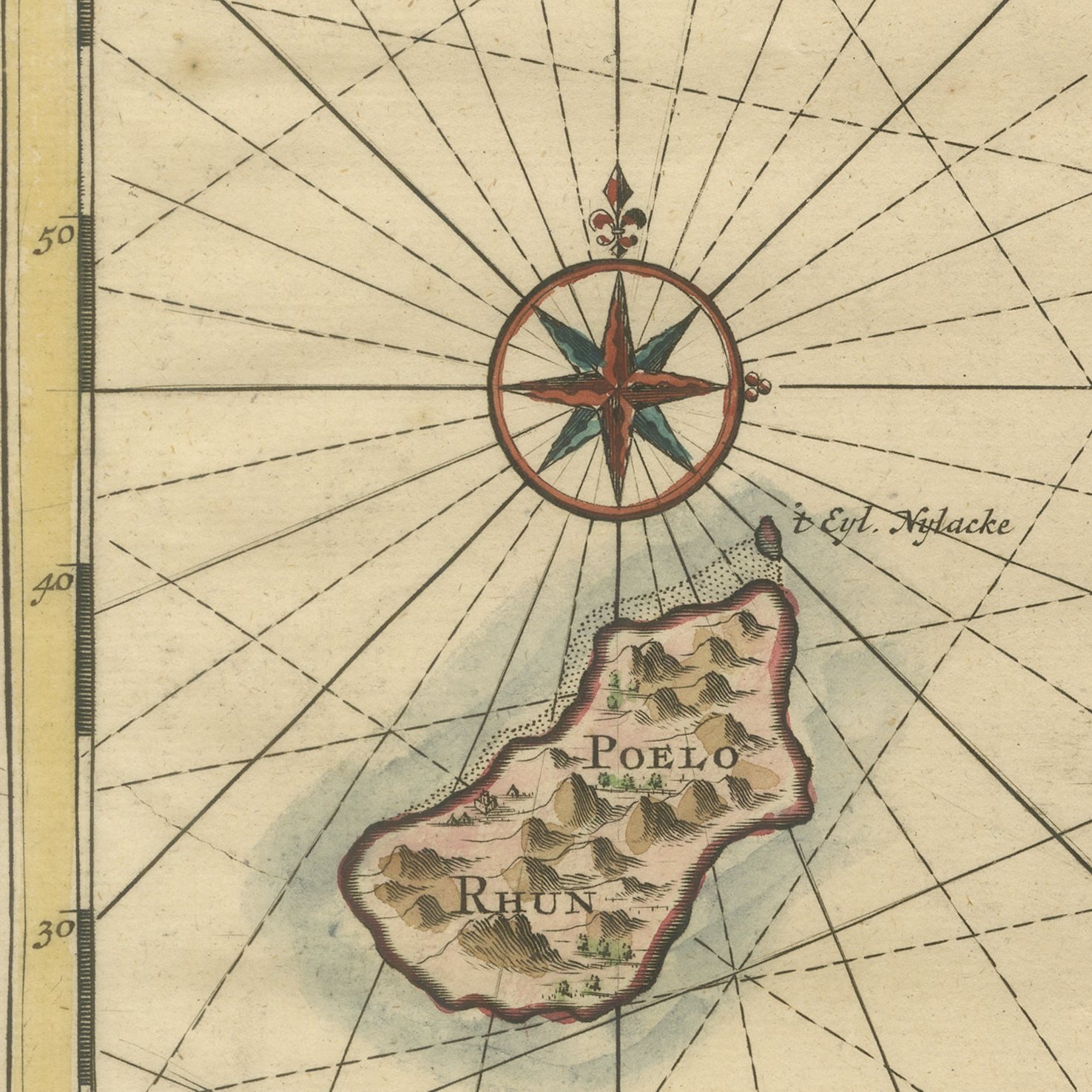
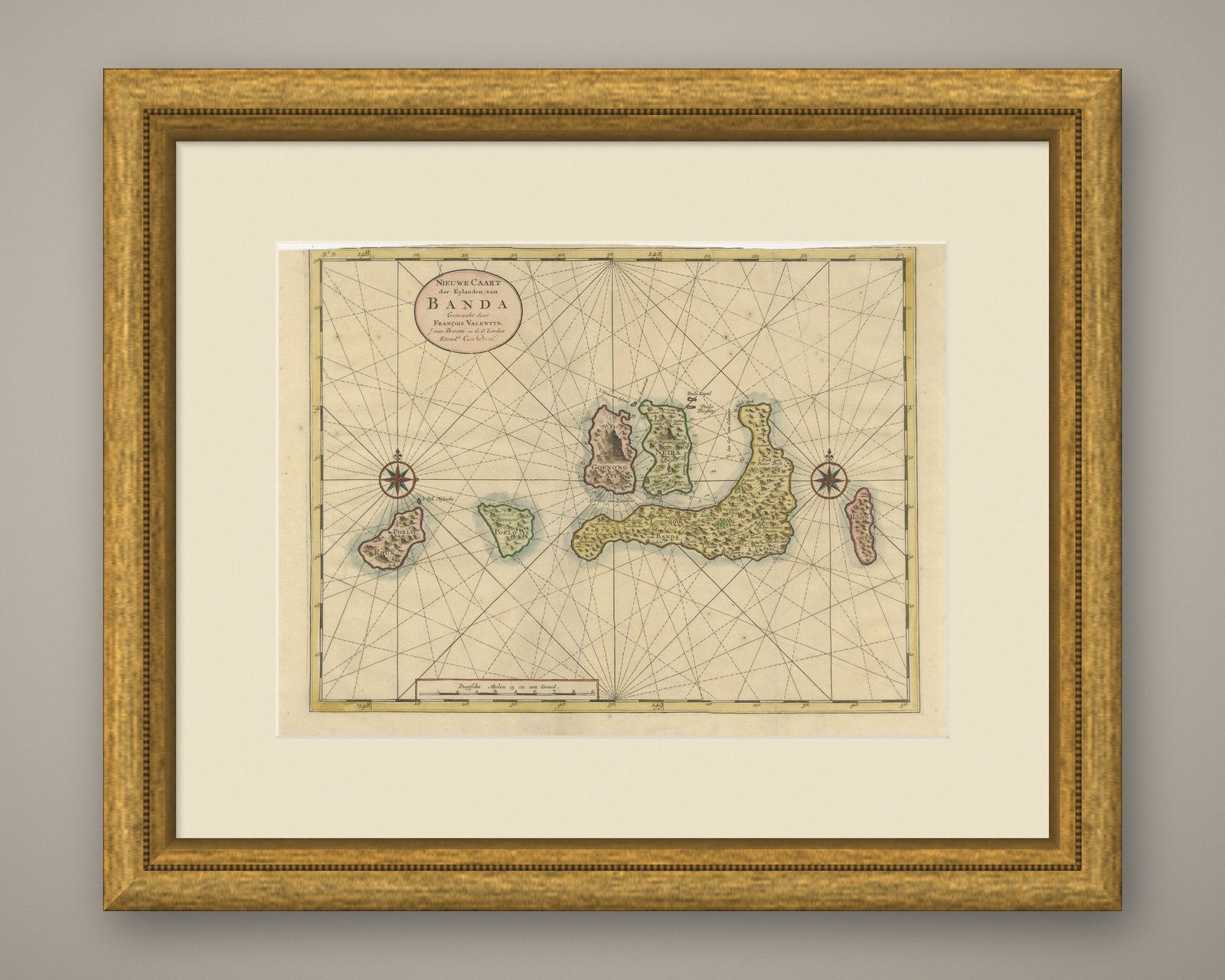
An original hand-colored antique sea chart of the Banda Islands in the Moluccas, engraved on copper for Francois Valentijn and lettered "NIEUWE CAART der Eylanden van BANDA". The chart lays out the whole group: the volcanic cone of Goenong Api, Neira with its roadstead, the long curve of Lonthoir, and the outlying islands of Poelo Rhun, Poelo Ay and Rosingeyn. Anchorages and shoals are marked through the channels, two compass roses are set into the sea and a full web of rhumb lines crosses the plate from edge to edge. The scale is given as "Duytsche Mylen 15 in een Graad" and the sheet is numbered "N.o B. 148" at the upper left. The hand coloring picks out the coastlines and the island interiors.
The chart comes from Francois Valentijn's "Oud en Nieuw Oost-Indien", the great five-volume description of the Dutch East Indies published at Dordrecht and Amsterdam by Joannes van Braam and Gerard onder de Linden between 1724 and 1726; the cartouche carries their imprint, "J. van Braam en G. O. Linden Excud.t Cum Privil." It is an original copper engraving with hand coloring. Valentijn served as a minister in the Indies and compiled his charts from company material and his own knowledge; this plate has been checked against the National Museum of Singapore record for the same chart.
These are the nutmeg islands, and until the late eighteenth century they were the only place on earth where nutmeg and mace grew: the reason the Dutch East India Company fought so hard for the Moluccas. Poelo Rhun, out at the left of the plate, is the island England surrendered to the Dutch at Breda in 1667, in the exchange that left the English holding Manhattan. Very few charts of this size carry a better story. It is a natural choice for a buyer interested in the spice trade or in the early history of New York, and it hangs well in a study or an office where people will stand close enough to read the island names.
Light uneven toning, browner towards the edges. Marked handling soiling along the top edge. Scattered foxing in the margin. Slight wear at the bottom right and top left corners. Minor edge wear, shallow nicks along the bottom and top.
This is an original antique map, not a modern reproduction. This item is sold unframed.