Close-ups
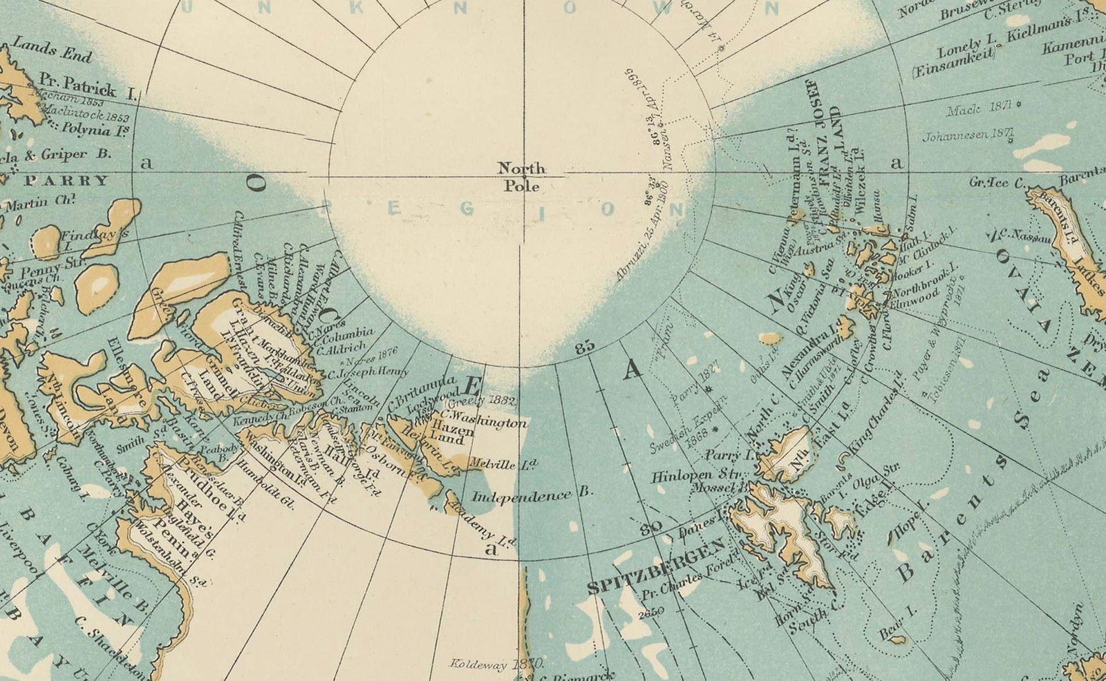
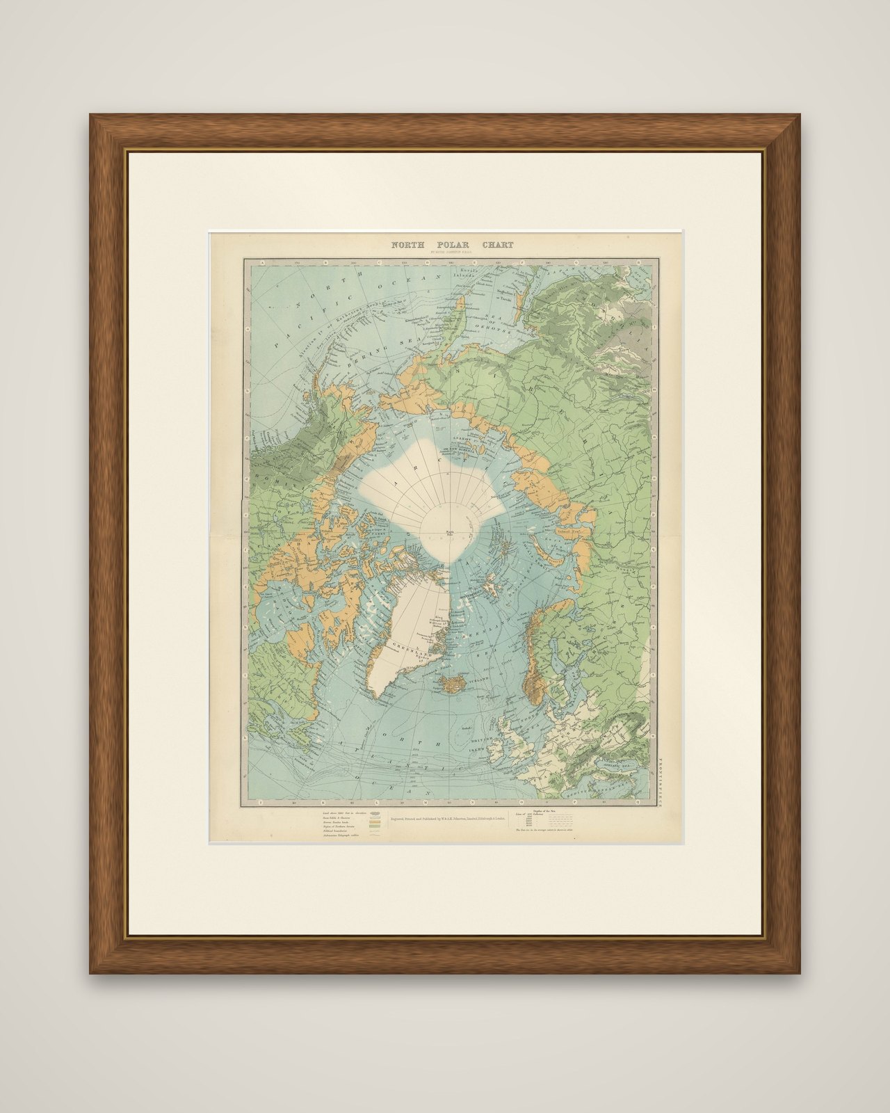
Framed and on the wall
Frame and rooms are illustrations of how the piece could look; it is sold unframed unless the description says otherwise.
Vintage North Polar Chart, Greenland & Arctic Exploration Routes, 1903
$405
€360 · £305
Original print, not a reproduction.
Ships worldwide from the Netherlands, flat, insured and tracked. 14-day returns. To buy, use Ask a question and we will reserve it for you.
- Date
- 1903
- Sheet size
- 18.9 × 14.5 in (48 × 36.8 cm)
- Condition
- Good. The map is in very good condition, showing minimal foxing and light toning to the paper, commensurate with its age. Its colors remain vibrant and the details sharp. Folding line as issued.
- Collection
- Voyages of discovery
- Era
- 1850 and after, Steam and steel
- Stock no.
- f_45240592
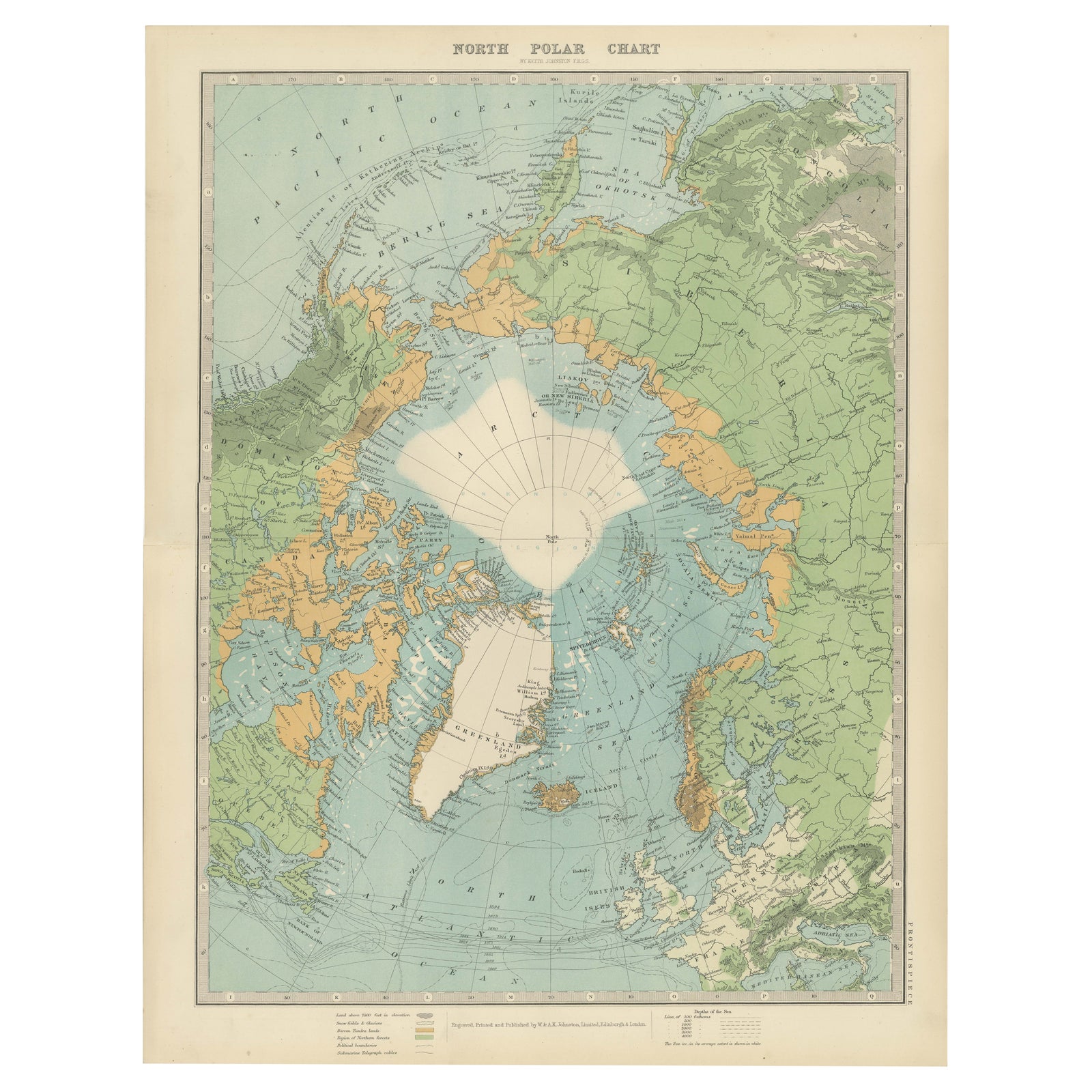
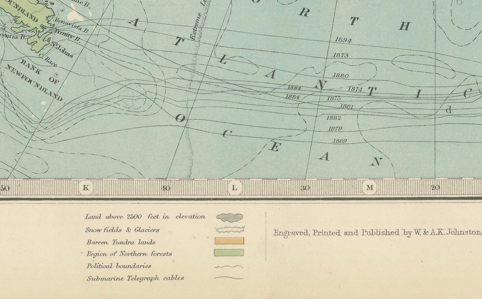
North Polar Chart, a color-printed map of the Arctic regions centered on the pole, published in 1903 by W. & A.K. Johnston of Edinburgh and London (the imprint reads "Engraved, Printed and Published by W. & A.K. Johnston, Limited, Edinburgh & London"). The title is set at the top of the sheet and the work is credited to Keith Johnston.
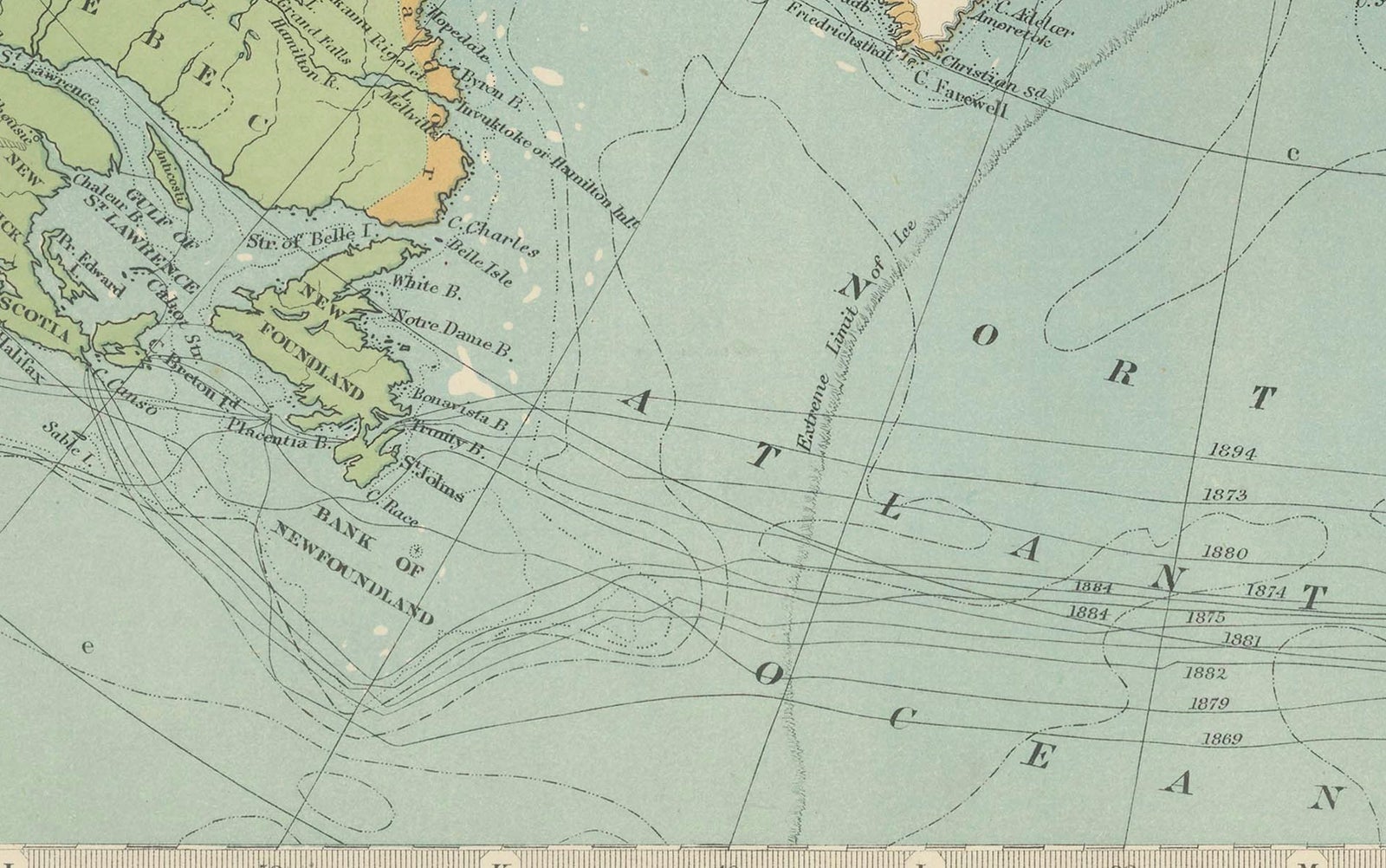
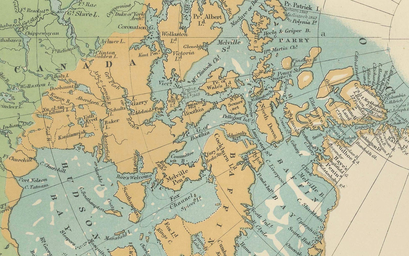
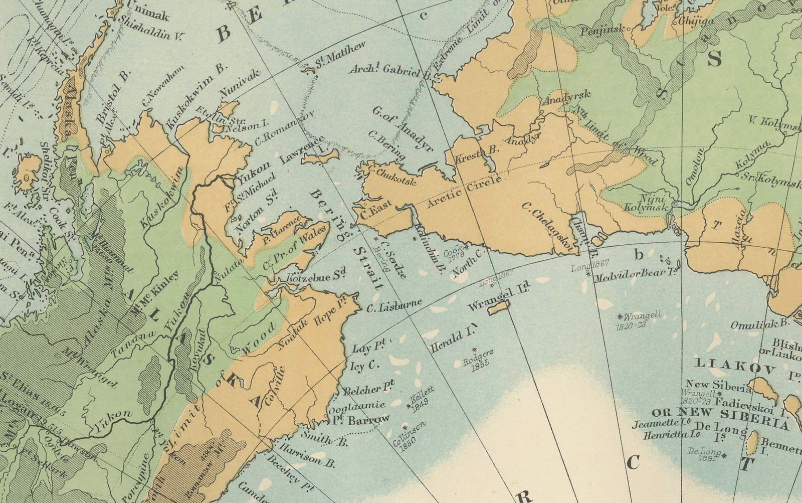
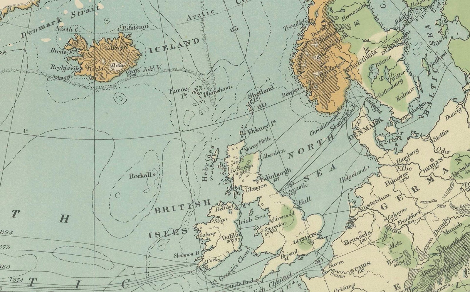
The projection looks down on the pole, with the unexplored ice cap left blank in white at the center and Greenland pale below it. Land is tinted in green and ochre to separate lowland from higher ground, and the Arctic Ocean is shown in blue. North America fills the left side of the chart, with the Canadian Arctic archipelago broken into islands and channels, while Alaska, the Bering Sea and the Pacific edge sit at upper left. Siberia and the Russian Arctic coast occupy the right, with Scandinavia and the British Isles at the foot beside the North Atlantic. A legend of symbols in the lower left corner and a key to the depths of the sea at lower right explain the tints and soundings.
The chart dates from the years just after the great Arctic expeditions and before the poles were reached, when the shape of the northern ocean was still being filled in.