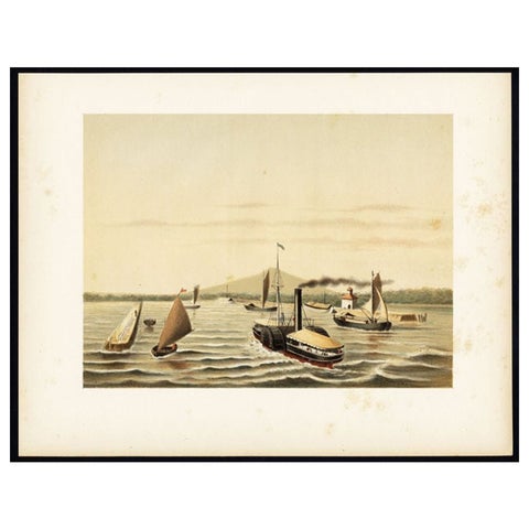
Antique Sea Charts and Prints: Indonesia and the Dutch East Indies
Sea charts and prints of Java, Sumatra, Borneo, Celebes and the Spice Islands, the waters of the Dutch East India Company (VOC). The Dutch charted these coasts from the 1600s to guard the route to Batavia, and French and English hydrographers followed. Views of Batavia's harbour, VOC fleets and the Sunda Strait complete the set.
52 pieces
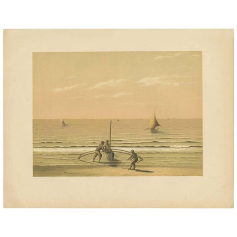
Antique Print of Local Vessels in the Sunda Strait in Indonesia, 1888
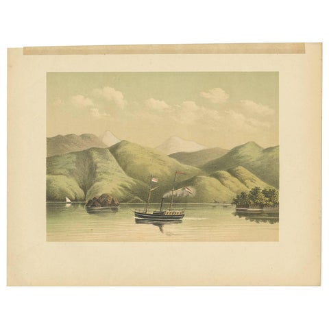
Antique Print of a Ship Near the Coast of Aceh (Atjeh) by M.T.H. Perelaer, 1888
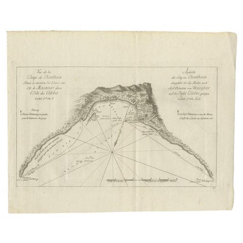
Antique Map of a Bay Nearby Makassar, Celebes 'Sulawesi)' by Hawkesworth, 1774