antiqueseacharts.com
✦
Black Friday Sale now on
Up to 30% off original antique maps and prints, until Monday 30 November
The terms
- Up to 30% off selected original antique maps and prints. Every piece is an original, printed in its own time; none is a reproduction.
- The sale runs until Monday 30 November. Prices revert on Tuesday 1 December.
- Free FedEx shipping on qualifying orders placed on our own websites: USA, Canada, UK and Europe over $500 / €450; rest of the world over $750 / €675. Smaller orders pay our normal shipping rate.
- Orders placed from 15 to 30 November ship from 1 December, in time for Christmas. Our shipping partner is InXpress.
- Each piece is unique, so the sale is while stock lasts.
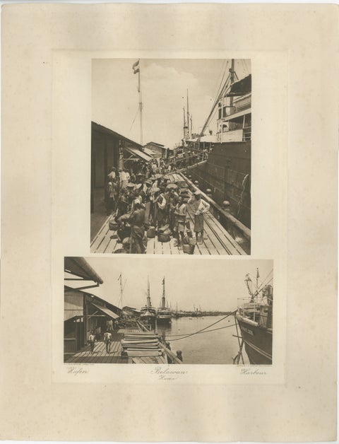 Belawan Harbour & Labourers – Sumatra, Indonesia - Kleingrothe Photogravure 1900
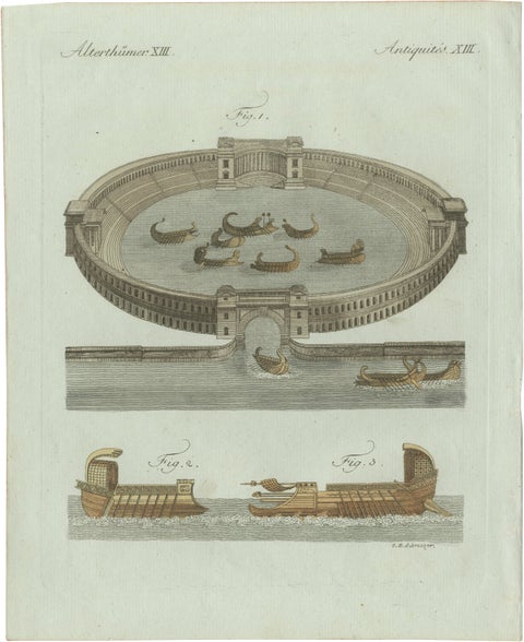 Original Antique Print of Roman Naval Battles and Warships by Bertuch, c. 1800
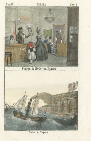 Fashion Shop with Fashion Plates and a Paddle Steamer, Hand Colored Print, 1842
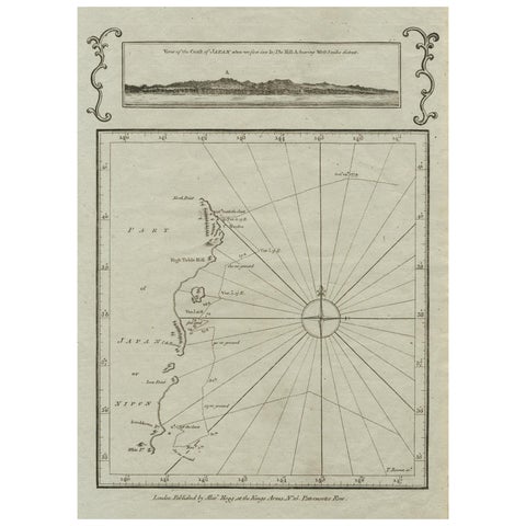 Old Map of the East Coast of Honshu with an Inset, Japan, c.1785
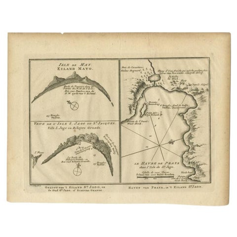 Antique Map of St. Jago, St Mayo and Praya Harbour, Mauritania, Africa, c.1750
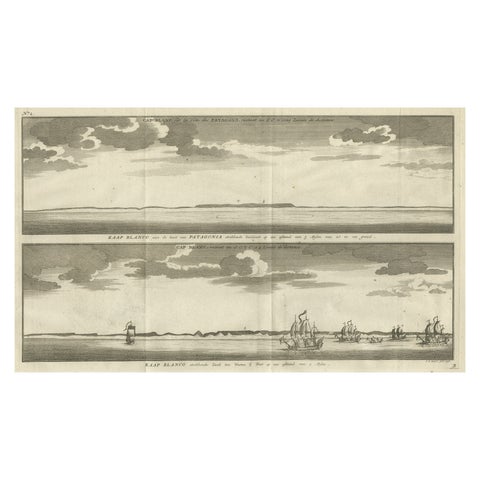 Antique Print with Views of Cape Blanco on the Patagonia / Argentina Coast, 1749
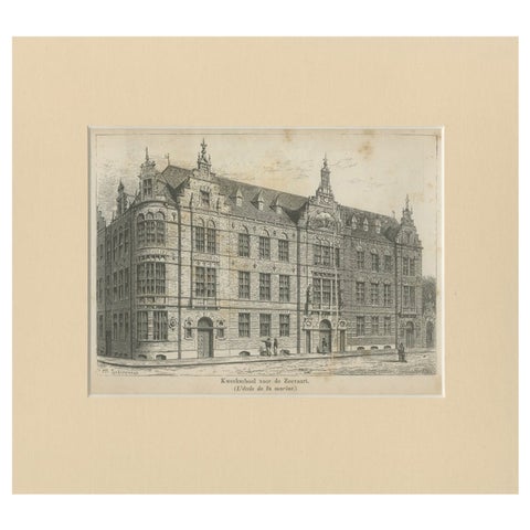 Antique Print of the Former Maritime Academy of Amsterdam, c.1890
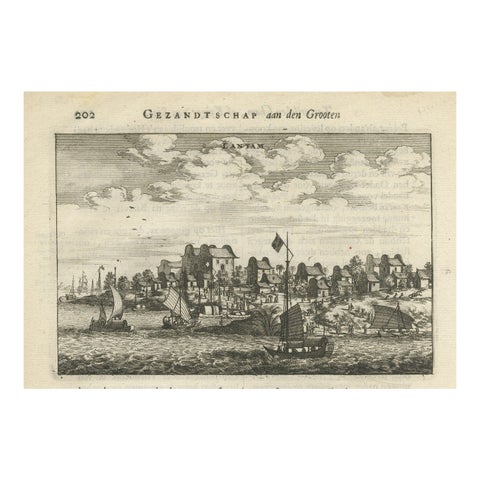 Antique Print of Chinese Vessels Near Lantam, China, 1665
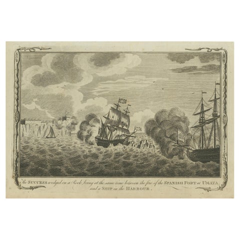 Naval Engagement at Unalata, Guam: The Peril of HMS Success, circa 1790
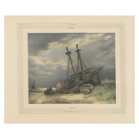 1835 Hand-Colored Lithograph: Stranded Ship in Winter Landscape
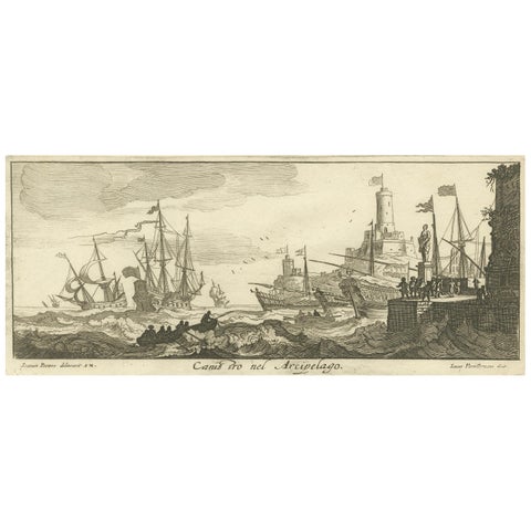 Maritime Scene in the Aegean Archipelago with Fortifications & Ships, circa 1680
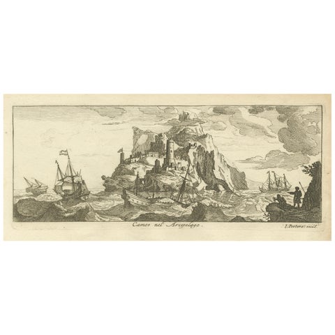 Fortified Island in the Aegean Archipelago with Ships at Sea, circa 1680
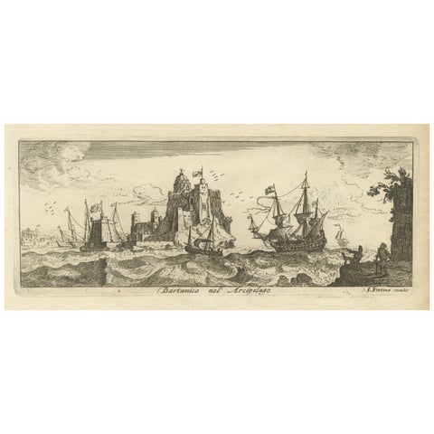 View of Bartanico in the Aegean Archipelago with Fortifications and Ships, 1680
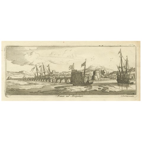 View of Fanar in the Aegean Archipelago with Bridge and Ships, ca. 1680
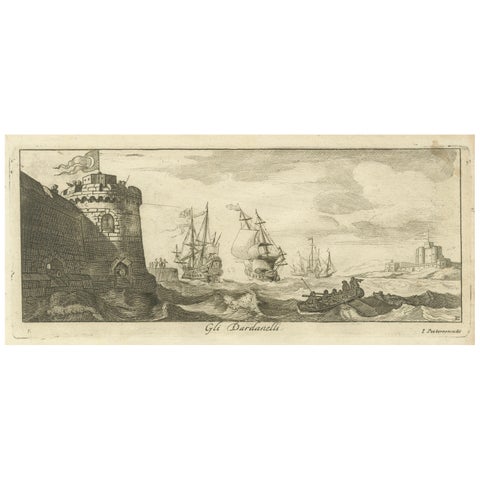 Engraved View of the Dardanelles with Fortifications and Ships, ca. 1680
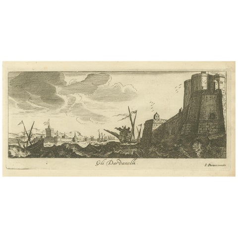 The Dardanelles with Fortified Towers and Maritime Activity, ca. 1680
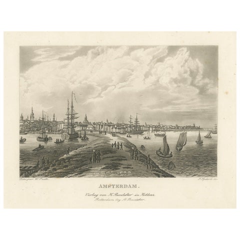 Amsterdam Harbor View: Antique 19th Century Engraving of Maritime Life
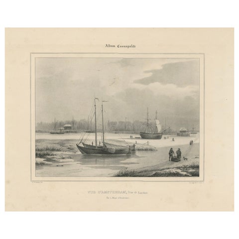 Amsterdam View with Ships and Ice Skaters - Vue d’Amsterdam, circa 1850
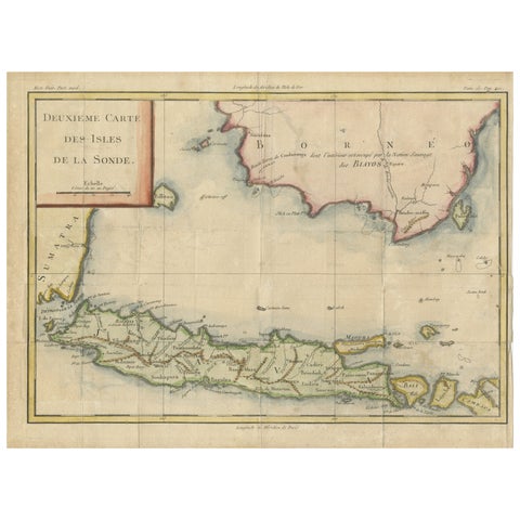 Java and Bali with Borneo Coast – 18th Century French Colonial Map
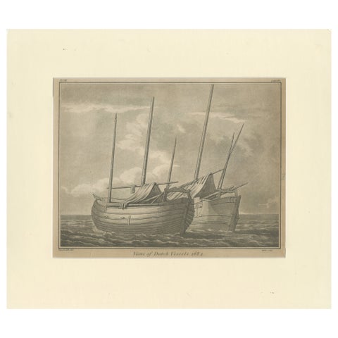 Views of Dutch Vessels – Maritime Engraving after 1684 Drawing, Published 1802
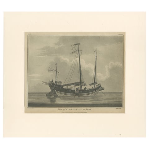 View of a Chinese Junk – Antique Maritime Engraving, Published 1802
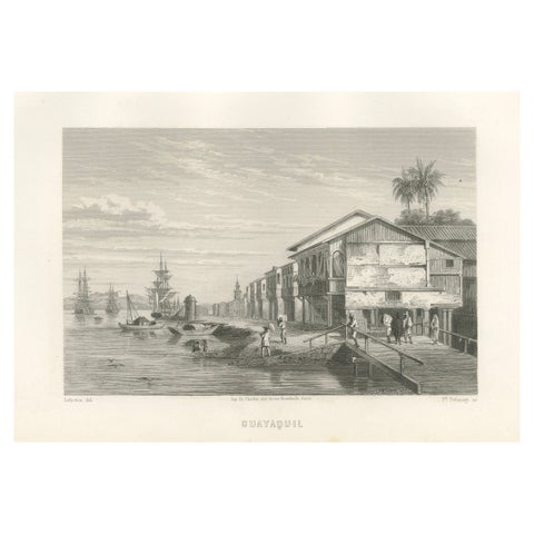 Antique Engraving of Guayaquil – Waterfront and Harbor City View, 1867
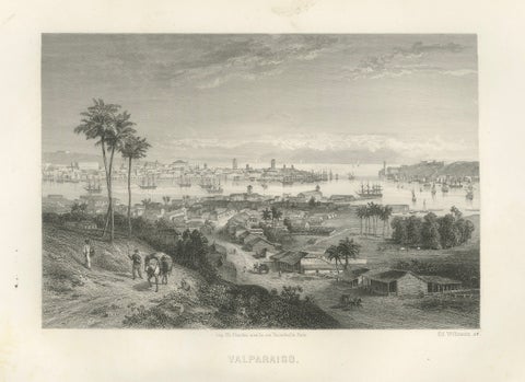 Rare Antique Engraving – Valparaíso, Chile Harbor and City Scene, 1867
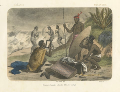 Shipwreck Scene in Melanesia – Islanders Salvaging Wreckage, c.1845
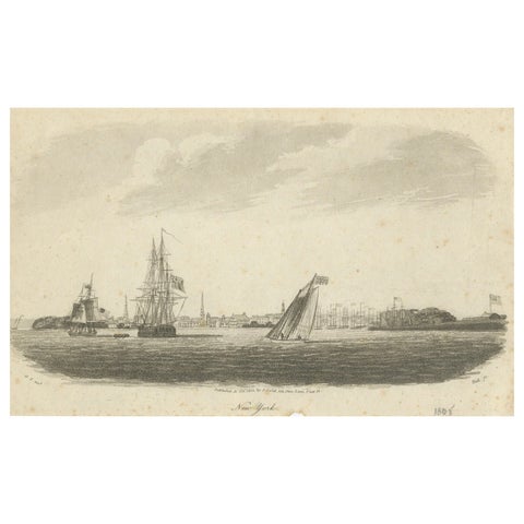 New York Harbor Panorama, sailing ships & city skyline, British engraving, 18050
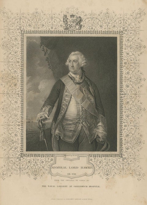 Antique Portrait Admiral Lord Hawke – British Naval Hero Engraving c.1850
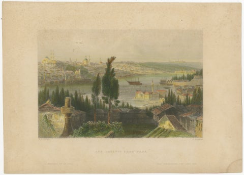 Bosporus Harbor View from Pera, Istanbul Arsenal – Antique Bartlett, c.1839
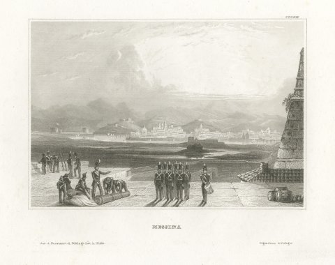 Messina in Sicily, Antique Harbor View with Soldiers, Engraving, circa 1850
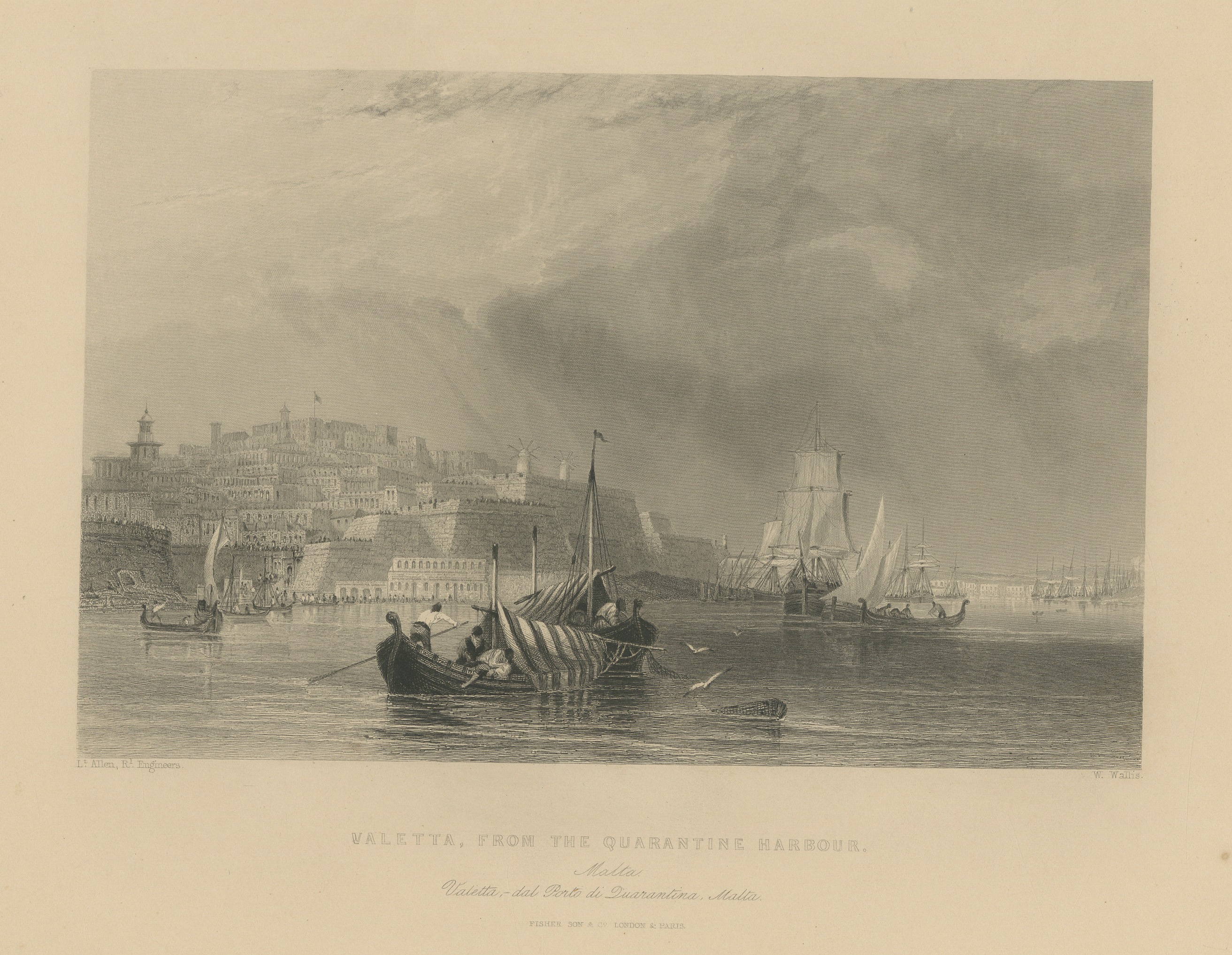 Valletta from the Quarantine Harbor, Malta, Antique Steel Engraving, c. 1840
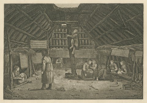 House in Oonalashka, Captain Cook Voyage, after Webber, Engraving, circa 1820
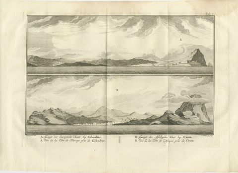 Coastal Views at Gibraltar and Ceuta, Antique Niebuhr Engraving, 1776
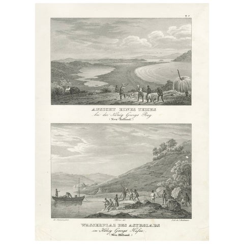 Evocative Scenes from King George's Harbour (modern-day Albany, Australia), 1836
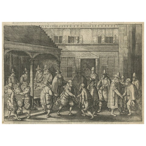 The Return of Dutch Explorers to Amsterdam Harbor, Pontanus, 1611
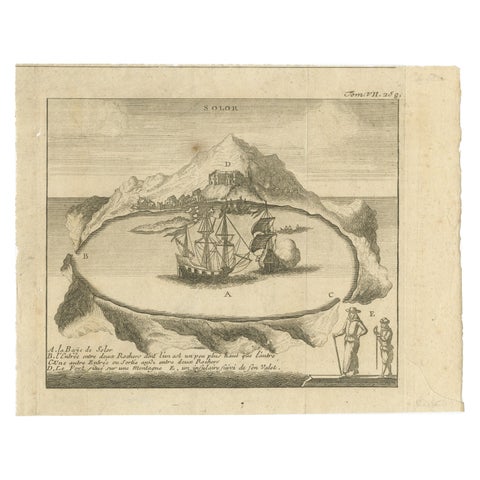 Solor Island View, Indonesian Harbor Engraving, French Voyage Plate c.1700
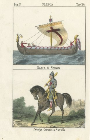 Crusader Ship and a Crusader Prince on Horseback, Hand Colored Lithograph, 1842
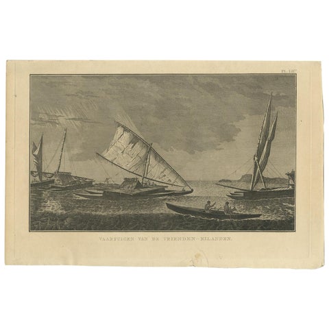 Antique Print of Various Vessels of the Friendly Islands by Cook, 1803
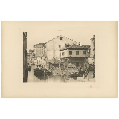 Pl. 12 Antique Print of a Boatbuilding yard on the Bottesela Canal, circa 1890
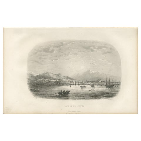 Antique Print of the Harbor of Rio de Janeiro by D'Urville (1853)
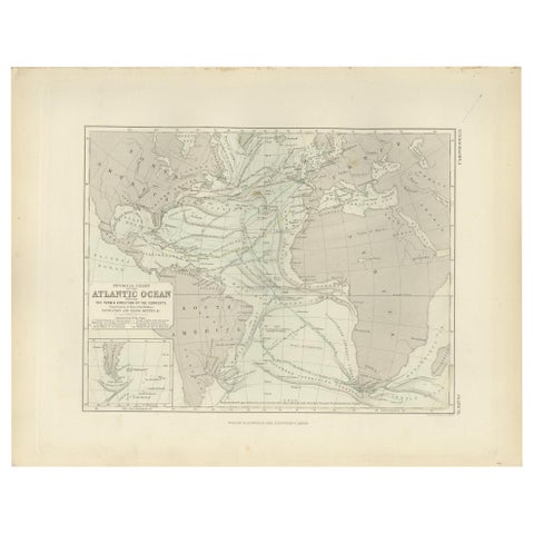 Antique Physical Chart of the Atlantic Ocean by Johnston '1850'
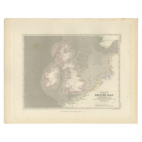 Antique Tidal Chart of the British Seas by Johnston, '1850'
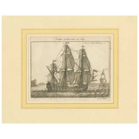 Antique Print of a Vessel with All the Sails by Pluche '1735'
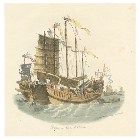 Antique Print of Chinese Junks or Merchant Ships, 1827
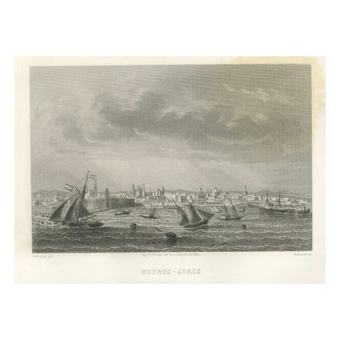 Antique Engraving of Buenos Aires, City and Harbor View, 1867
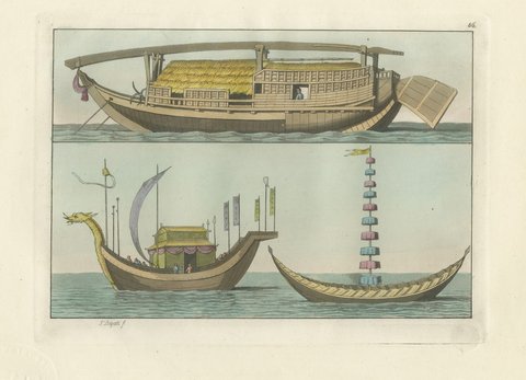 Antique Print of a Chinese Junk and a Dragon Prowed Ceremonial Barge, 1815
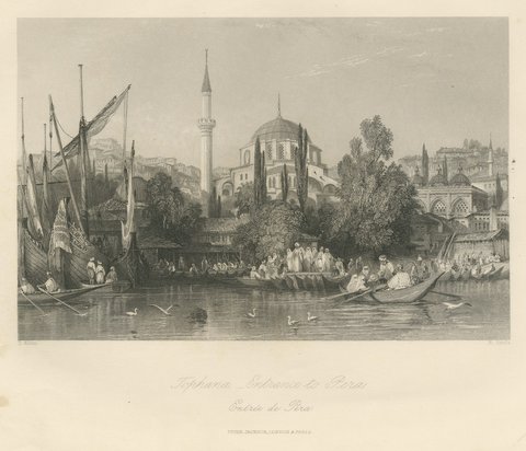 Tophana, Entrance to Pera, Antique Bosphorus Waterfront View, circa 1850
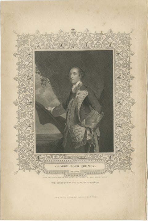 Antique Portrait Lord Rodney – British Naval Hero Engraving c.1850
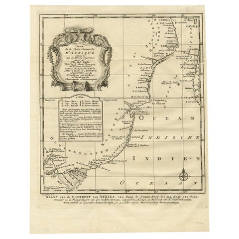 Original Detailed Antique Map of the East Coast of Africa, 1747
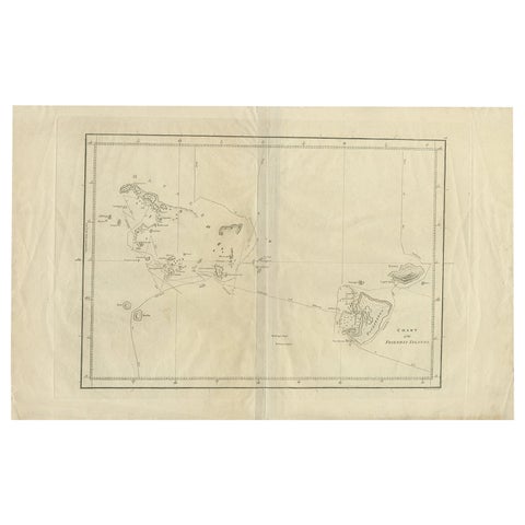 Antique Chart of the Friendly Islands or Tonga in the Pacific Ocean, 1785