antiqueseacharts.com
✦
Black Friday Sale now on
Up to 30% off original antique maps and prints, until Monday 30 November
The terms
- Up to 30% off selected original antique maps and prints. Every piece is an original, printed in its own time; none is a reproduction.
- The sale runs until Monday 30 November. Prices revert on Tuesday 1 December.
- Free FedEx shipping on qualifying orders placed on our own websites: USA, Canada, UK and Europe over $500 / €450; rest of the world over $750 / €675. Smaller orders pay our normal shipping rate.
- Orders placed from 15 to 30 November ship from 1 December, in time for Christmas. Our shipping partner is InXpress.
- Each piece is unique, so the sale is while stock lasts.
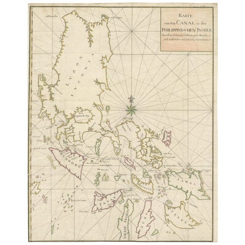 Large German Chart of the Philippines with Hand-Colored Borders, 1763
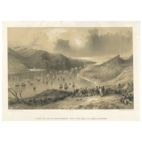 Anglo-French Fleet Entering the Black Sea from the Bosphorus – Crimean War, 1854
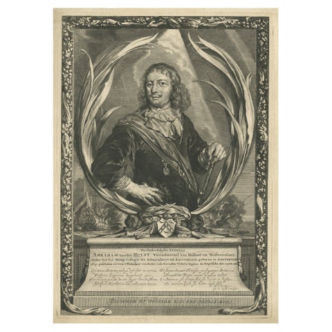 Large Portrait of Vice Admiral Abraham van der Hulst – Dutch Naval Hero, c.1666
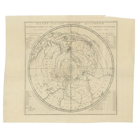 Antique Chart of the Southern Pole, Showing Three Routes of Captain Cook, 1803
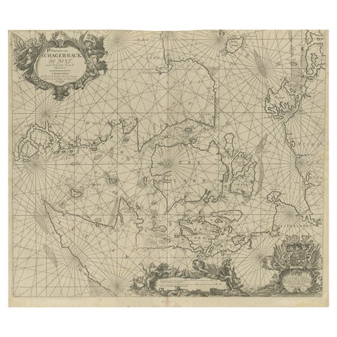 Nautical Chart of Skagerrak and Øresund by Johannes van Keulen, 1680
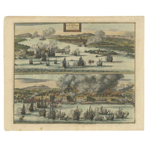 Antique Print of the Dutch VOC Bombing Palembang, Sumatra (Indonesia), ca.1700
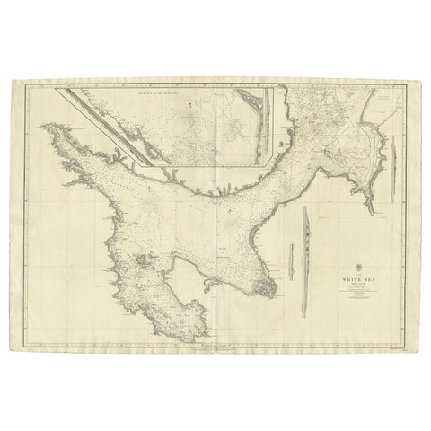 Large Antique Chart of The White Sea, Russa 1854
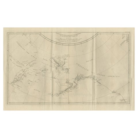 Old Map Showing the Tracks of Cook Between North America and Asia's Coast, 1803
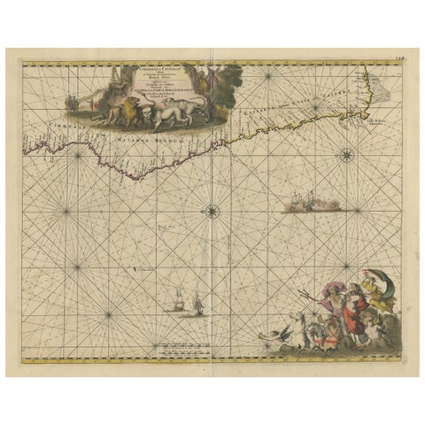 Antique Map of the Coast of Angola Up to Port Elizabeth in South Africa, 1675
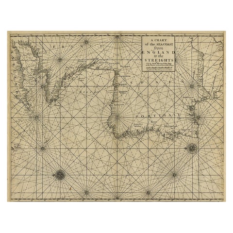 Original Antique Sea Chart of the Coastline from England to Gibraltar, ca.1700
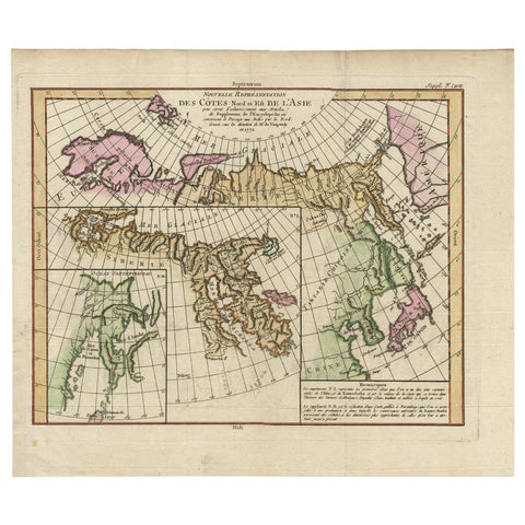 Map of North and East coast of Asia with Japan & inset maps of Kamchatka, c1750
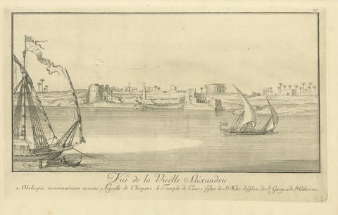 Old Alexandria Harbor, Antique Egypt Engraving by Norden & Tuscher, 1755
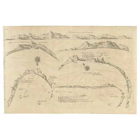 Rare Map of Six Coast Views and Anchorages of Sierra Leone and Indonesia, 1660
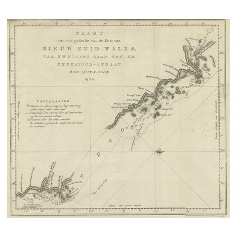 Original Copper Engraving of the Northeast Coast of Australia, 1803
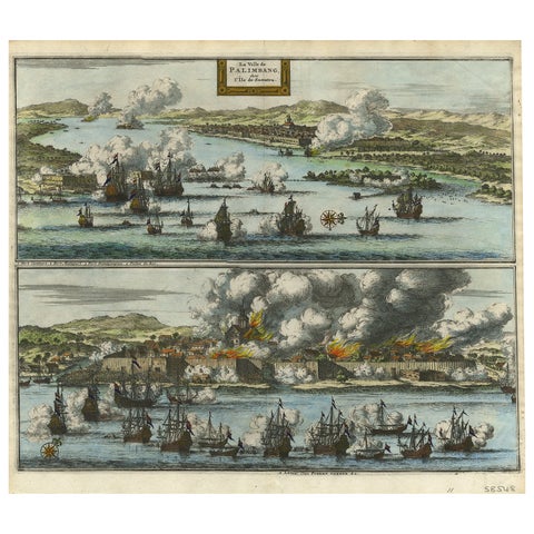 Decorative Engraving of VOC Battle Ships Attacking Palembang in Sumatra, ca.1700
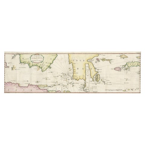 Rare Chart of Indonesia Including Borneo, Java, Celebes, Ceram and More, 1779
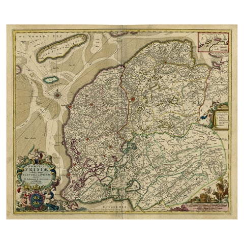 Large Copper Engraved Map of the Coastline of Friesland and Terschelling, c.1670
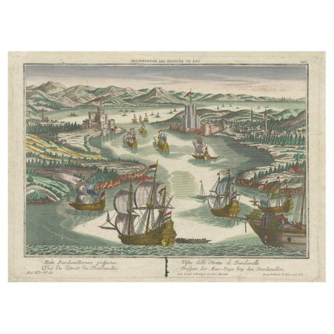 Dardanelles Strait, Ottoman Turkey – Probst Optical View with Ships, c.1770
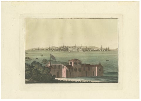 Boston Harbor View from Castle William, Hand-Colored Aquatint by Fumagalli, 1827
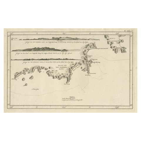 Antique Coastal Views and a Map of Van Diemens Land (Tasmania), Australia, 1803
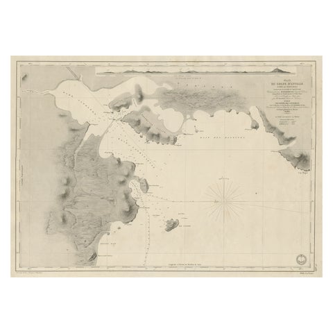 Antique Map of Part of the Chinese Coast, Explored by the French, Ca.1852
 Capt. Cook Aiming His Gun Near Islands of the New Hebrides, Vanuatu, 1803
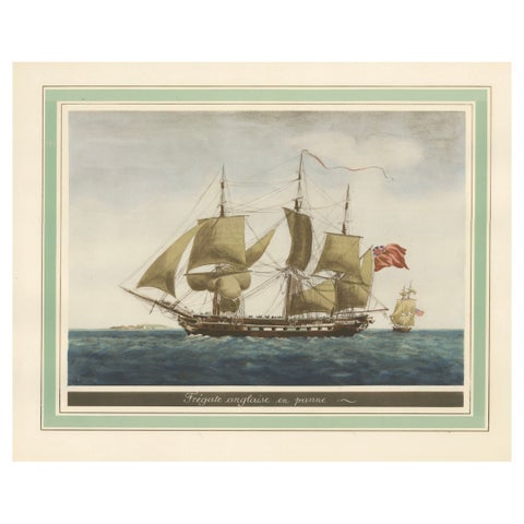 Before the Gales: An English Frigate Awaiting Wind, circa 1920
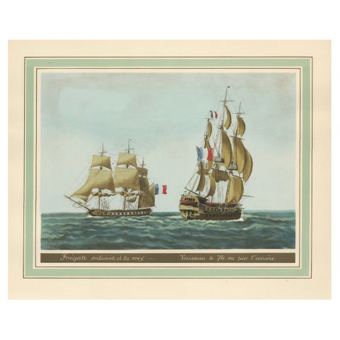 Maritime Salute: The Elegance of 18th-Century Naval Grace, circa 1920
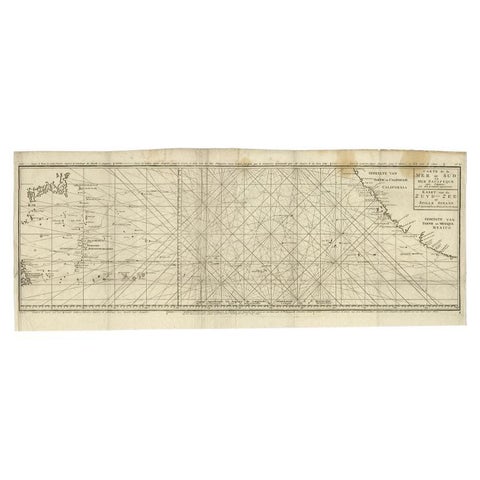 Antique Map of the Pacific Ocean by Anson, 1765
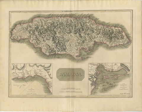 Jamaica Map by John Thomson, Kingston & Port Royal Harbors, c.1817
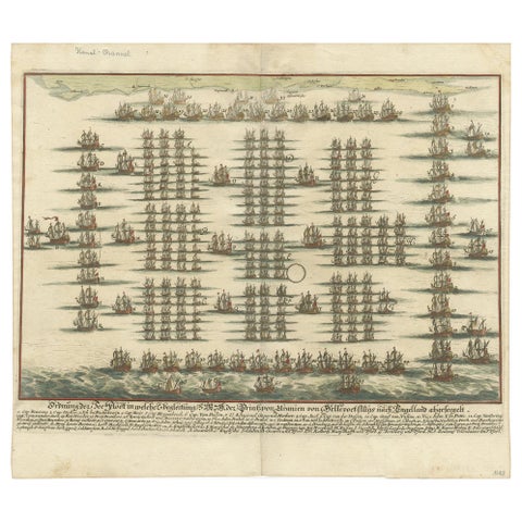 Antique Print of the Fleet of William III of Orange by Merian 'c.1700'
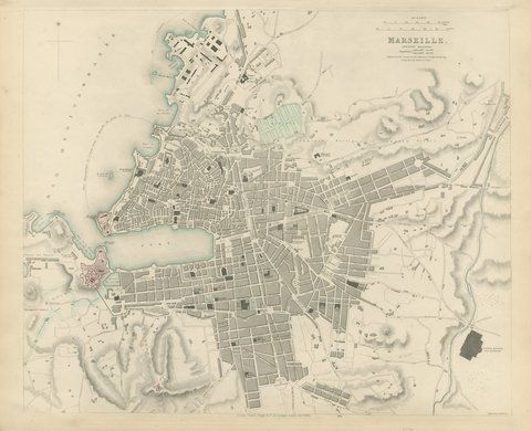 Antique Plan of Marseille, Ancient Massilia, with the Old Port, 1840
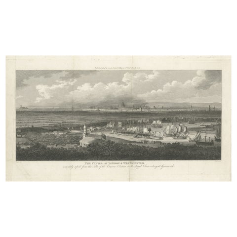 Rare City View of London and Westminster, Showing Many Battles Ships, 1804
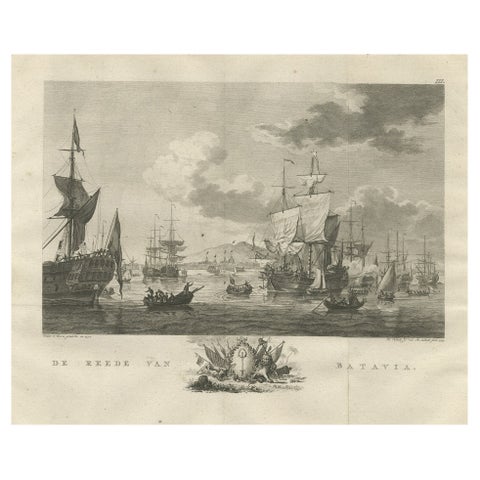 Old Print of VOC Ships in the Sea Near Batavia (Jakarta, Indonesia), 1779
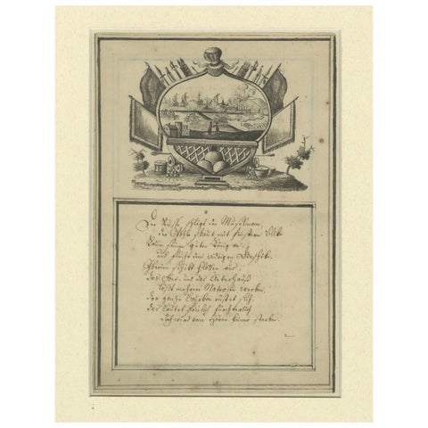 18th-Century German Engraving – Allegory of War, Poem & Naval View
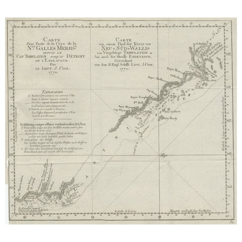 Old Chart of the North-Eastern Coast of Australia Discovered by Cook, 1774
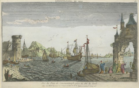 Constantinople Harbor Vue d’Optique by Jacques Chéreau, c.1760
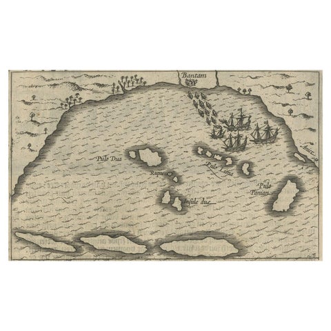 Small Map of Bantam with Dutch Ships and an Engraving of Portugese, 1614
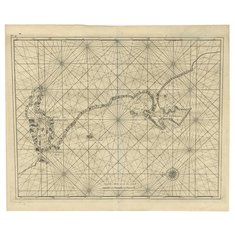 Sea Chart Titled 'Baya de Saldanha' with Robben Island in South Africa, 1726
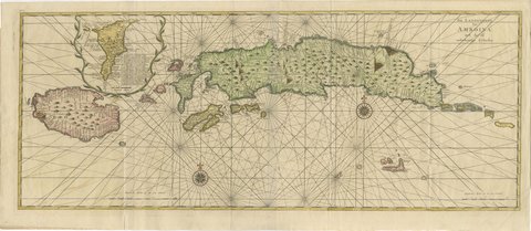 Amboina and Its Eleven Islands: Broad Valentijn Double-Page Chart, 1726
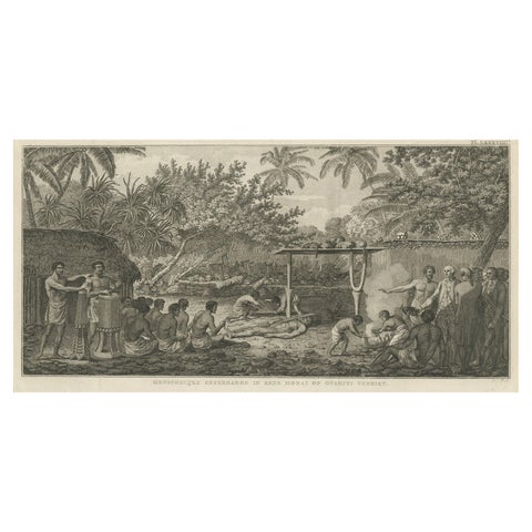 Human Sacrifice in a Morai, Tahiti – Cook Voyage Engraving c.1795
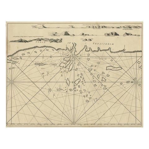 Old Sea Chart of the Tenasserim area, Myanmar 'Burma' in South East Asia, c.1790
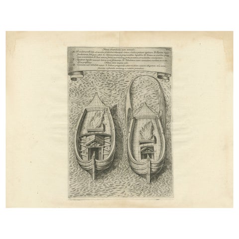 Ingenious Destruction: Fire Ship Design of the Eighty Years' War, 1632
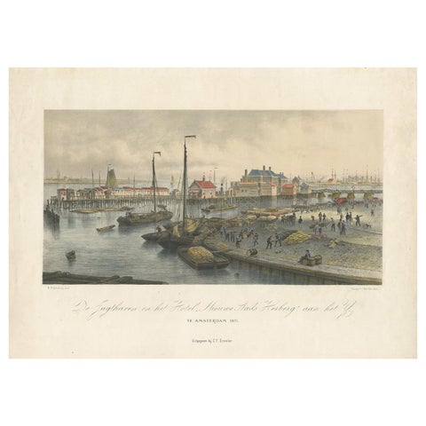 Antique Print of the Harbour of the IJ 'Amsterdam' by Stemler '1871'
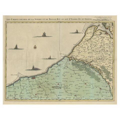 Beautiful Antique Map of the French Coast, from St. Valeri to Dieppe, 1720
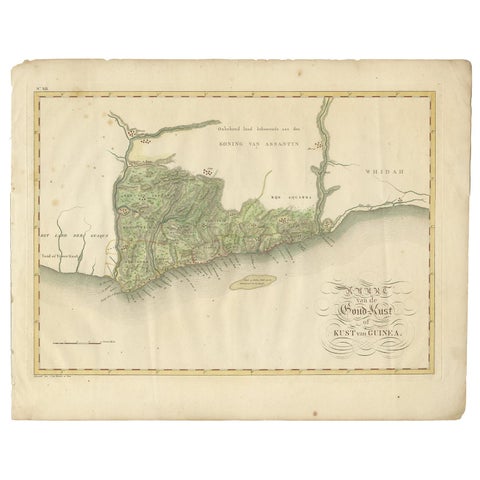 Antique Map of the Dutch Gold Coast in Africa by Van den Bosch '1818'
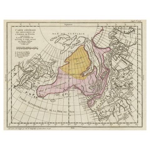 Interesting Old Map of the Nw Coast of America and the Ne Coast of Asia, ca.1772
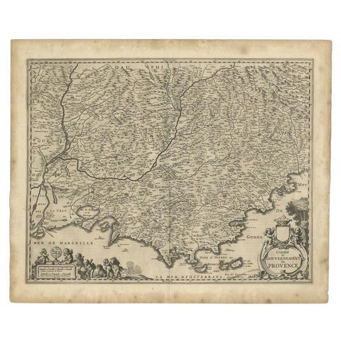 Original Antique Map of the Southern Coast of France by Janssonius, 1657
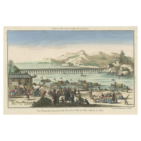 Rare Early View of the Harbour of Peking or Beijing, Capital of China
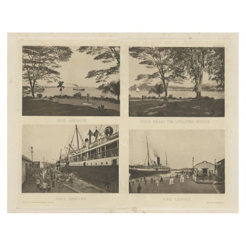 Rare Harbour Views of Colonial Singapore, 1907
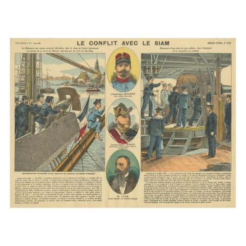 Conflict with Siam, a French Naval Action Scene, Épinal Colonial Print, 1893
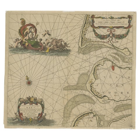 Original Antique Sea Chart of the Maas 'or Meuse' River with Neptunes, 1684