antiqueseacharts.com
✦
Black Friday Sale now on
Up to 30% off original antique maps and prints, until Monday 30 November
The terms
- Up to 30% off selected original antique maps and prints. Every piece is an original, printed in its own time; none is a reproduction.
- The sale runs until Monday 30 November. Prices revert on Tuesday 1 December.
- Free FedEx shipping on qualifying orders placed on our own websites: USA, Canada, UK and Europe over $500 / €450; rest of the world over $750 / €675. Smaller orders pay our normal shipping rate.
- Orders placed from 15 to 30 November ship from 1 December, in time for Christmas. Our shipping partner is InXpress.
- Each piece is unique, so the sale is while stock lasts.
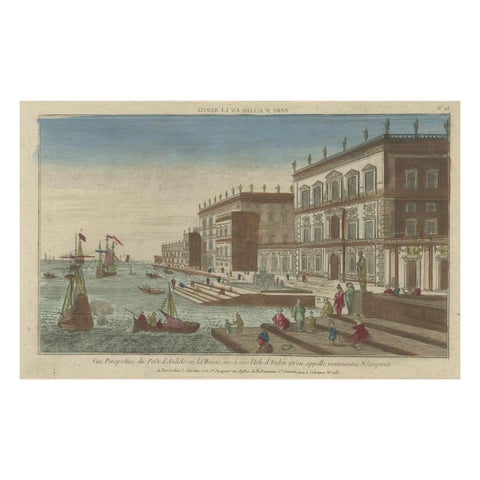 Optical View of the Port of Boeotia Near the Island of Evvia, Greece
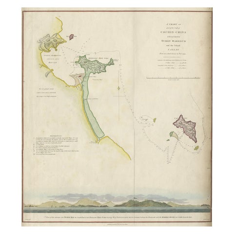 Map of the Vietnamese Coast, Centered on Turon Harbor 'Da Nang Area', 1796
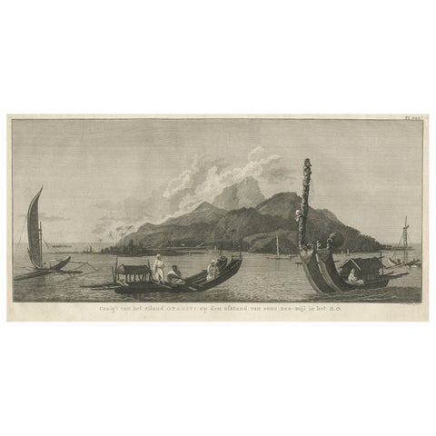 View of the Island of Tahiti, with Outrigger Canoes and Sailing Catamarans, 1803
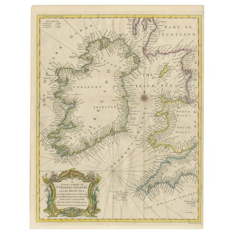 Hand-colored Nautical Chart: St. George's Channel and the Irish Sea, 1744
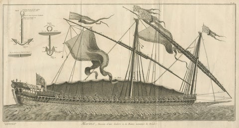 La Réale French Royal Galley, Large Naval Engraving, c.1769
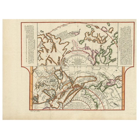 Antique Map of the West Coast of North America & North East Coast of Asia '1772'
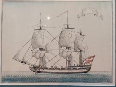 Antique Print of a Vessel 'c.1850'
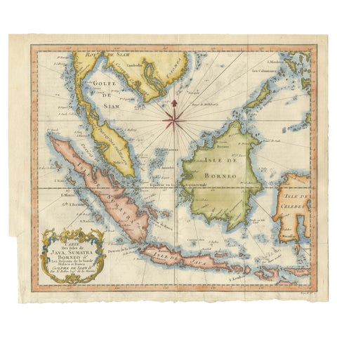 Java, Sumatra & Borneo Map – Bellin & van Schley Decorative Chart, 1750s
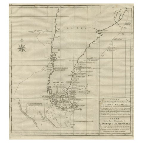 Antique Map of Tracks of Anson's Ships around South America & Cape Horn, 1749
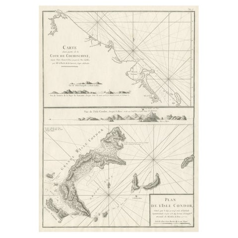 Old Sea Charts of Tourane Bay & the Con Dao Islands 'Pulo Condor', Vietnam, 1780
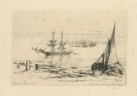 A Brig at Anchor – Thames, Haden, 1870, British Etching Revival
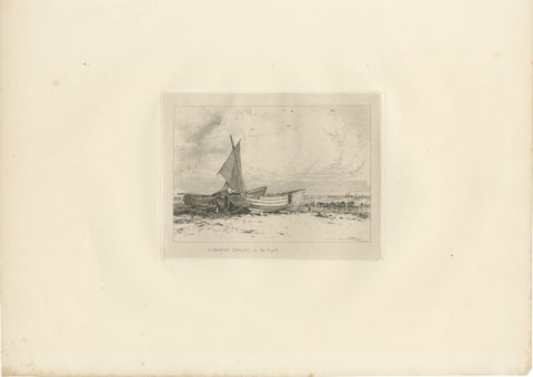 Antique Great Yarmouth Fishing Boats Maritime Etching by E.W. Cooke, 1828
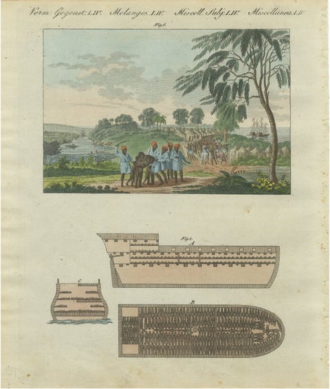 Bertuch African Slave Trade & Slave Ship Engraving, 1805