Close-ups
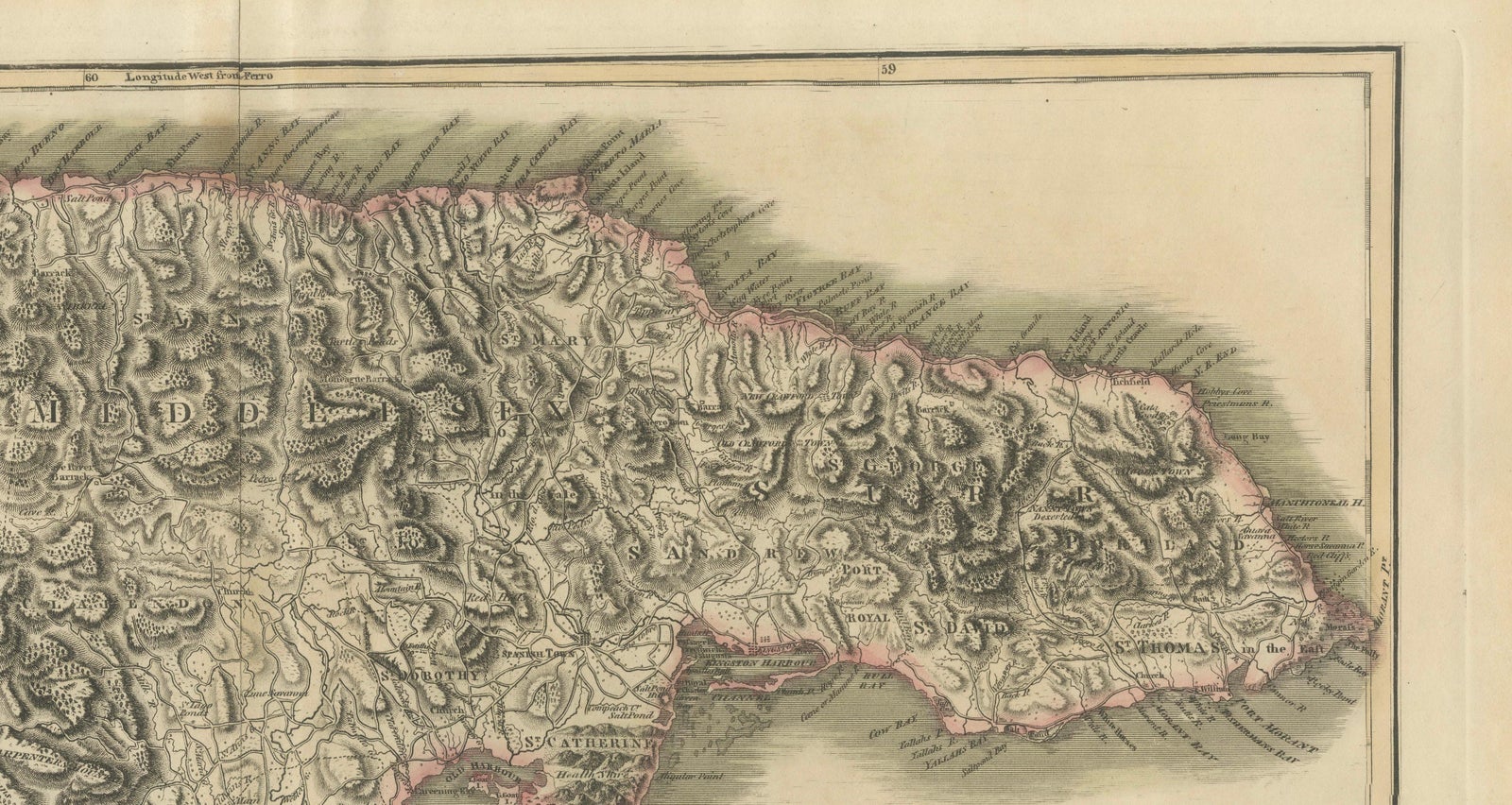
Framed and on the wall
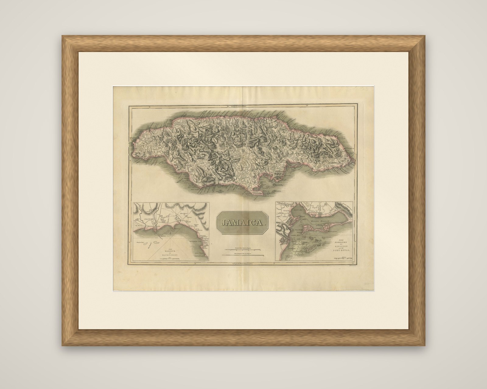
Frame and rooms are illustrations of how the piece could look; it is sold unframed unless the description says otherwise.
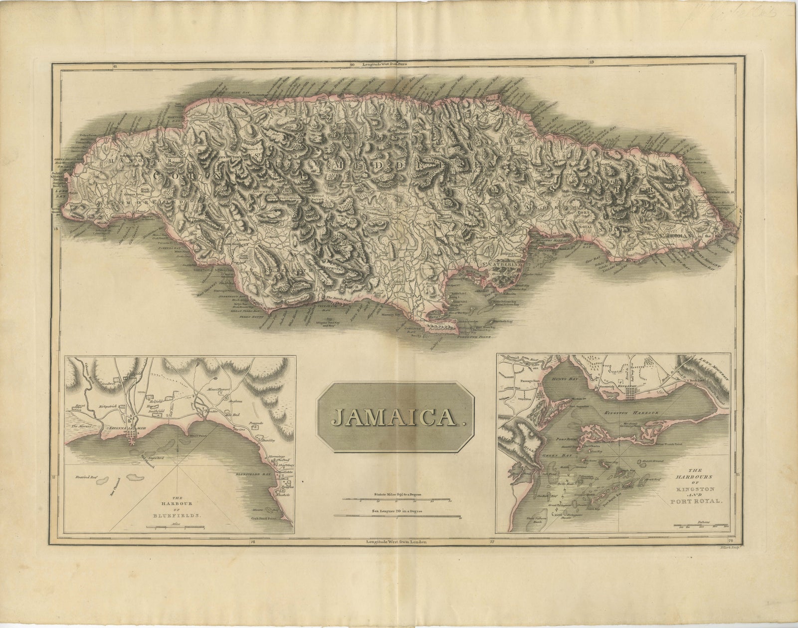
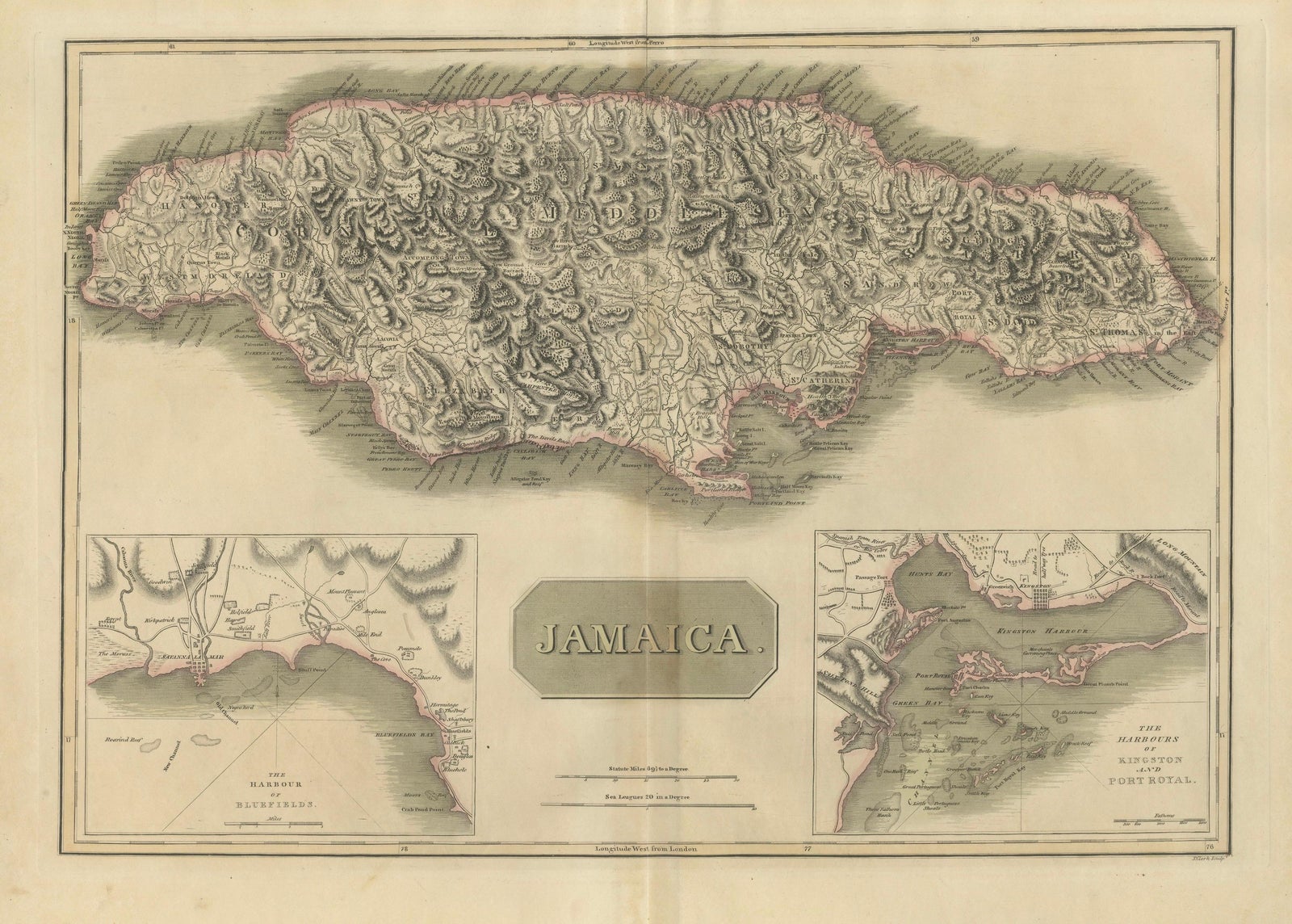
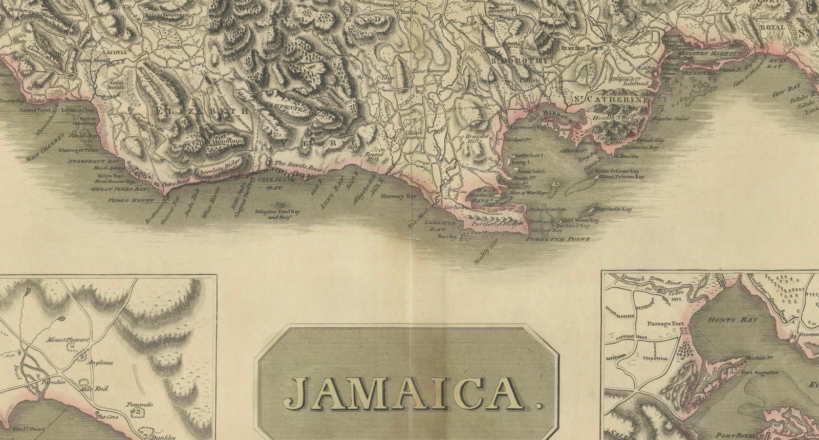
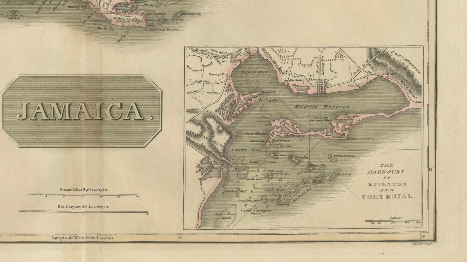
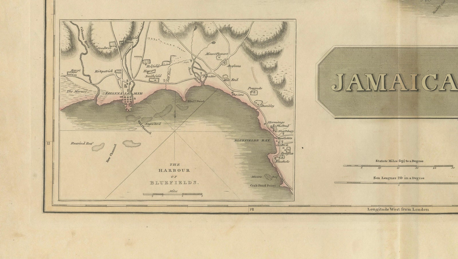
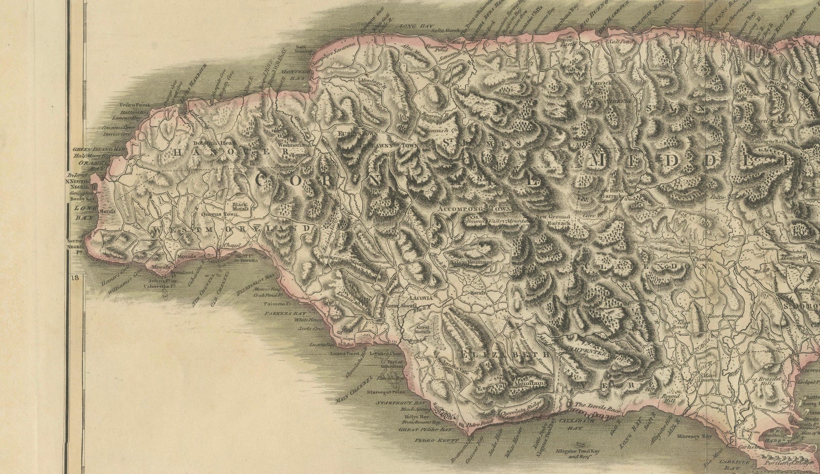
Jamaica Map by John Thomson, Kingston & Port Royal Harbors, c.1817
$1,090
€975 · £825
Original print, not a reproduction.
Ships worldwide from the Netherlands, flat, insured and tracked. 14-day returns. To buy, use Ask a question and we will reserve it for you.
- Date
- 1817
- Sheet size
- 21.3 × 27.4 in (54 × 69.5 cm)
- Condition
- Good. Good antique condition with age toning, light foxing, and minor handling wear consistent with age. Original center fold as issued. Margins remain generous and the engraving impression is strong.
- Collection
- Sea charts
- Era
- 1790 to 1849, Age of sail
- Stock no.
- f_50054112
The island of Jamaica, a map titled "Jamaica", engraved for John Thomson's New General Atlas and published around 1817. It is an original copper engraving with hand color, the coastal outline washed in pink and the relief shown in dense hachuring.
The whole island fills the upper two thirds of the sheet, with its mountainous interior shown by shaded hachures, and its coast lined with towns, anchorages, rivers and parish place names. The title is set in a plain oval frame in the lower center, with scale bars to either side. Two inset maps fill the lower corners: at the left "The Harbour of Bluefields" on the south-west coast, and at the right "The Harbours of Kingston and Port Royal", with their anchorages and fortifications.
Jamaica was a British possession and one of the most valuable sugar colonies in the Caribbean at the date of the map.
EXPLORE