Close-ups
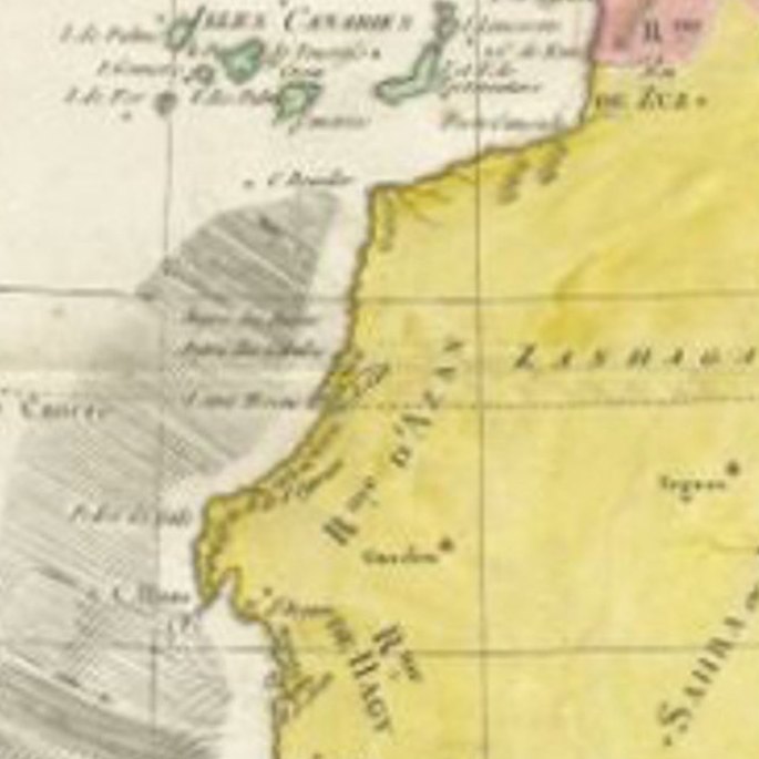
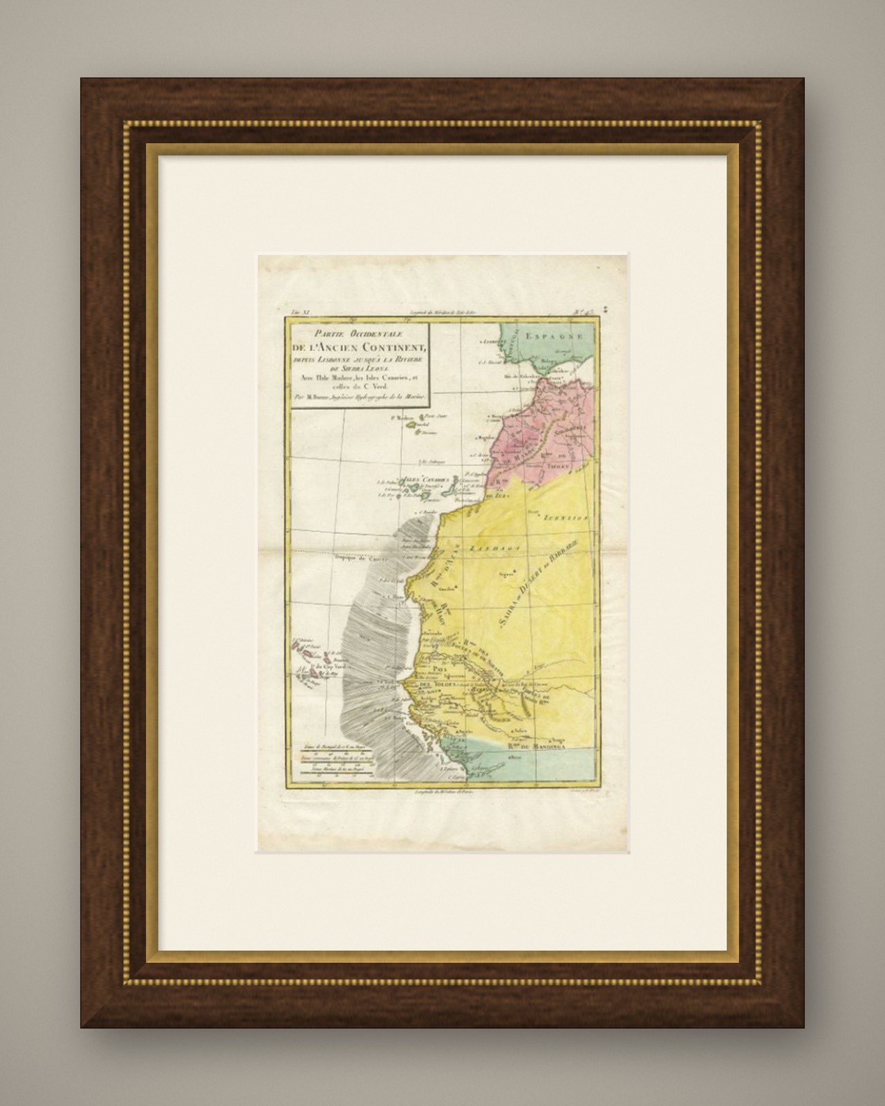
Framed and on the wall
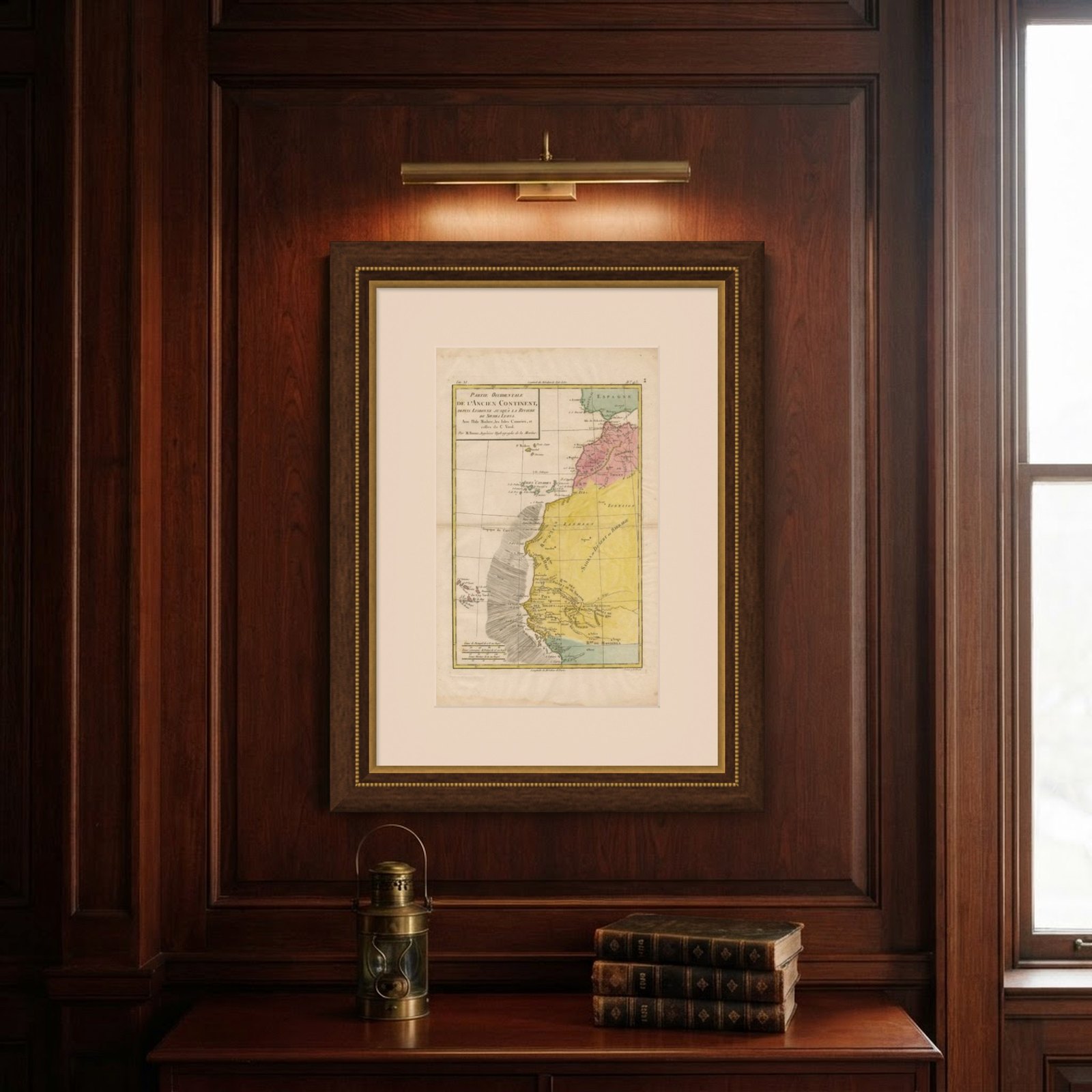
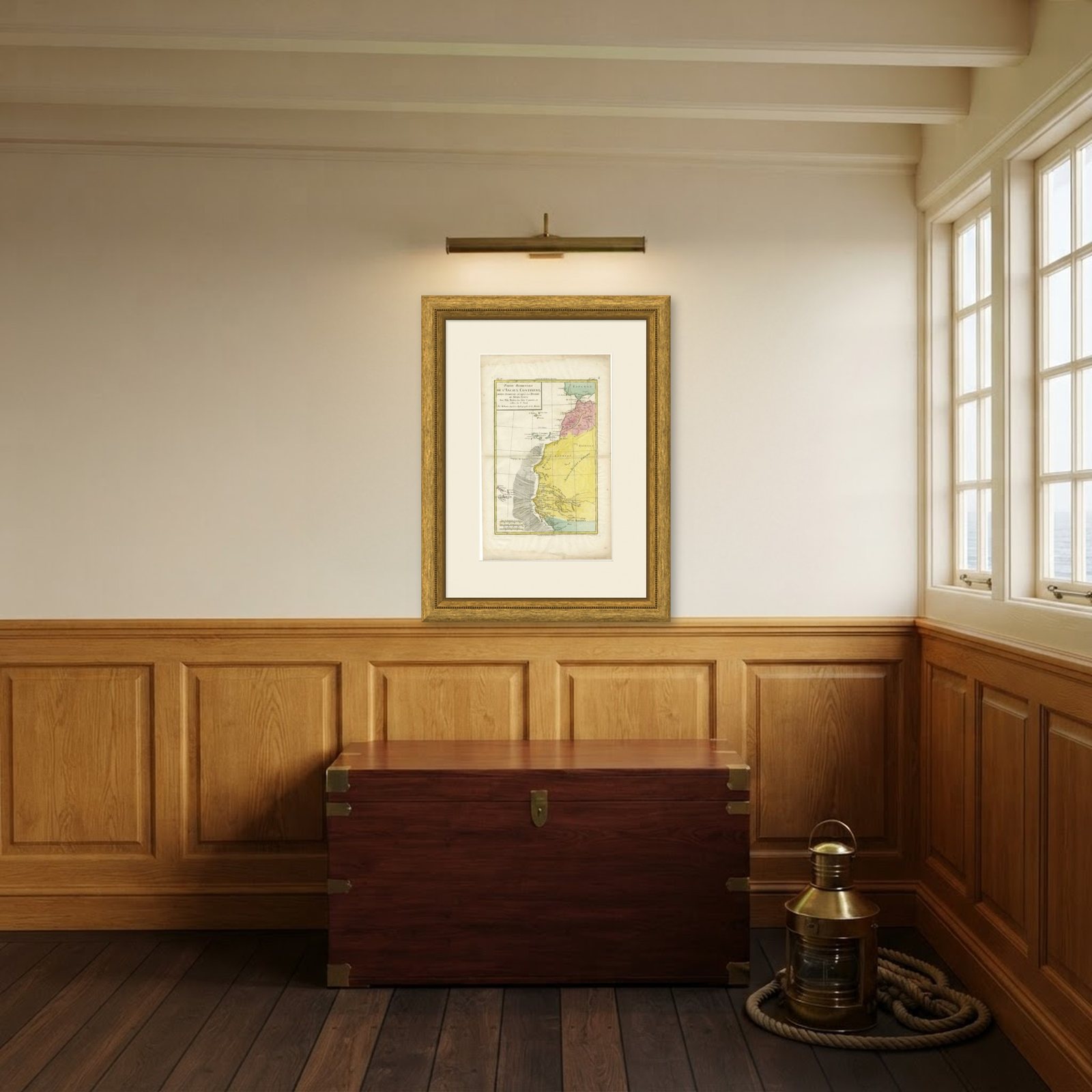
Frame and rooms are illustrations of how the piece could look; it is sold unframed unless the description says otherwise.
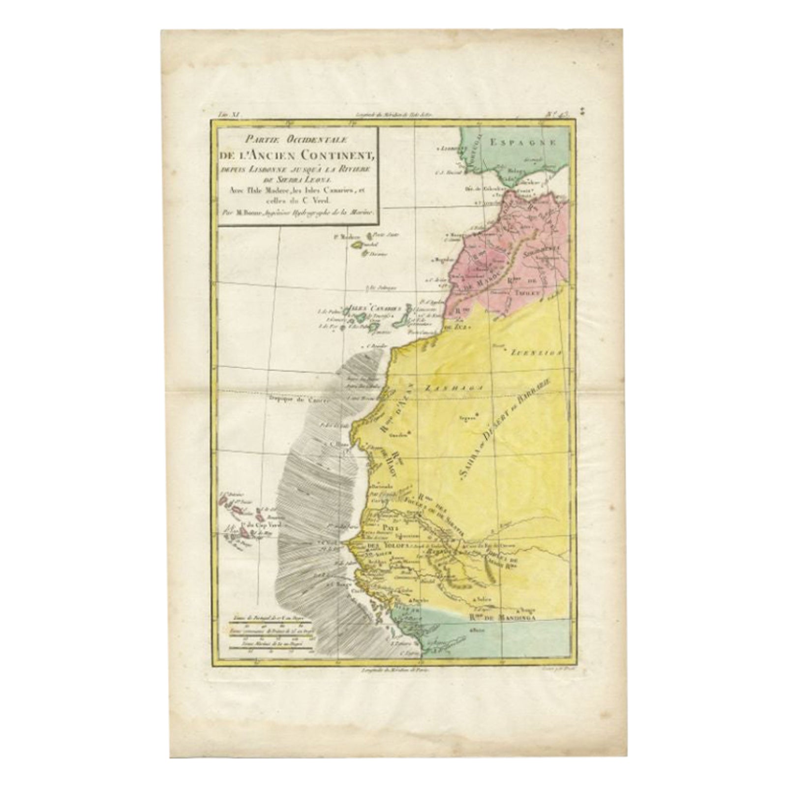
Antique Map of the Coast of Northwest Africa by Dien, 1820
£105
$135 · €123
Original print, not a reproduction.
Ships worldwide from the Netherlands, flat or rolled, insured and tracked. 14-day returns.
- Date
- 1820
- Sheet size
- 16.5 × 10.4 in (42 × 26.5 cm)
- Condition
- Good
- Collection
- Sea charts
- Era
- 1790 to 1849, Age of sail
- Stock no.
- BG-12148
What the condition grades mean
- Excellent
- Bright and clean, with no faults worth mentioning.
- Very good
- Only light signs of age, such as faint toning.
- Good
- Normal signs of age for a sheet of this period: toning, some foxing, small marks or neat old repairs.
- Fair
- Clear faults such as staining, tears or repairs, priced to match.
Every fault we see is written in the condition note, and the whole sheet is shown uncropped in the photos.
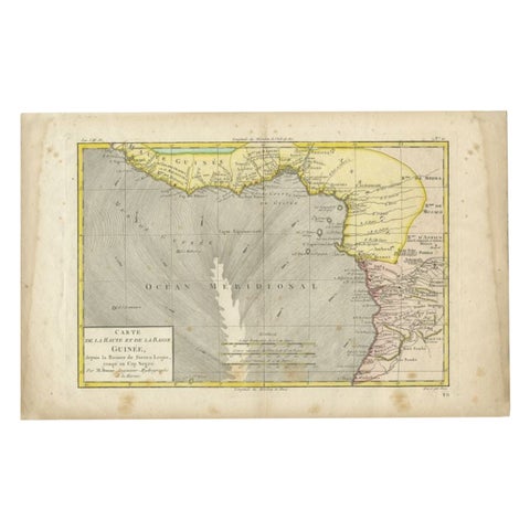
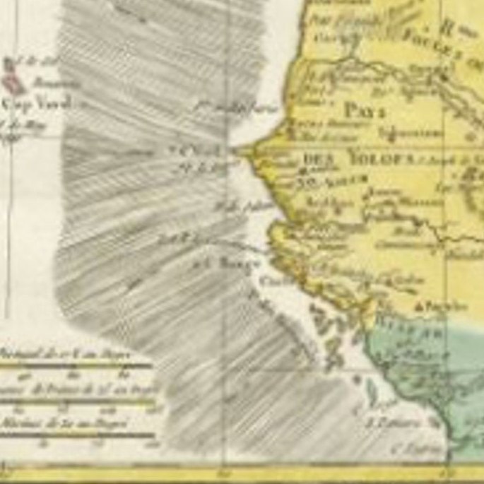
Antique map Africa titled 'Partie Occidentale de l'Ancien Continent, depuis Lisbonne jusquá la Riviere de Sierra Leona'. Detailed map of Coastal North and West Africa, from Biafra and Sierra Leone (Royaume de Mandinga) to Gibralter and Fez, also showing Madeira, the Canaries and Cape Verde Islands. This map originates from a reissue of Raynal's 'Atlas de toutes les parties du Globe Terrestre (..)'.
Artists and Engravers: Engraved by Dien
Image size: 21 x 31.5 cm.
EXPLORE