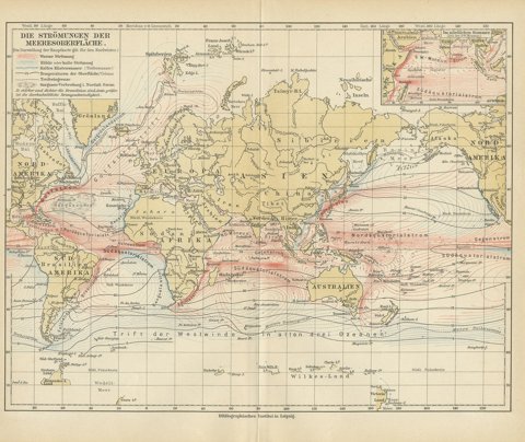
Sea charts
Sea charts, coastal charts and harbor plans made for navigators: Dutch Golden Age charts by Van Keulen and De Wit, French charts by Bellin and Mannevillette, English charts by Norie and Imray, with their soundings, shoals and compass roses.
156 pieces
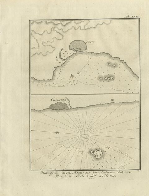
Plans of Two Red Sea Ports, Antique Niebuhr Chart, 1776
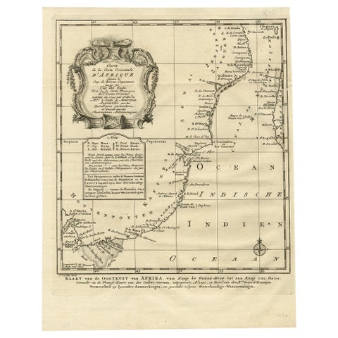
Original Detailed Antique Map of the East Coast of Africa, 1747
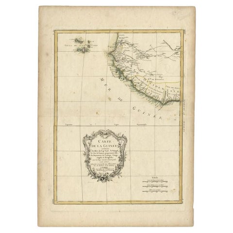
Antique Map of the West Coast of Africa, 1771
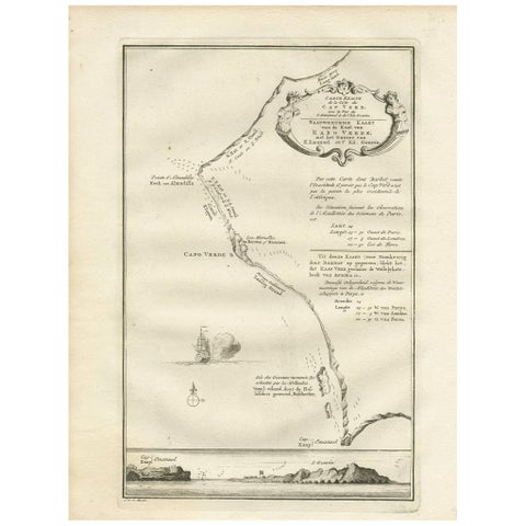
Antique Map of the Coast of Cape Verde by J. Van Der Schley, circa 1750
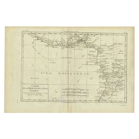
Antique Map of the Coast of Guinea, Africa, c.1780
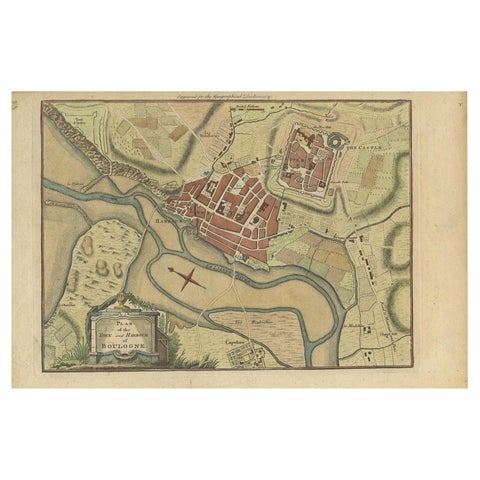
Antique Plan of the Town and Harbour of Boulogne-sur-Mer by Barrow 'c.1760'
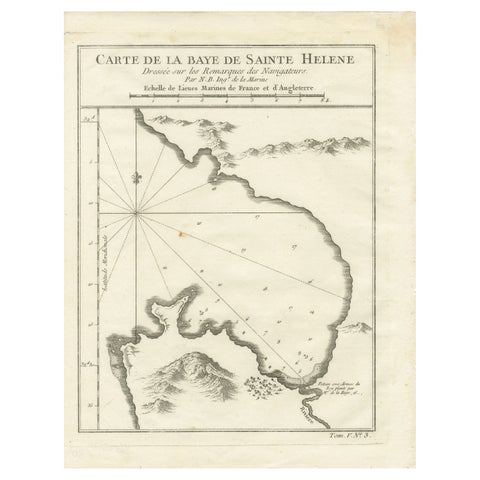
Bay of Saint Helena: French Naval Chart by N.B. Ingénieur de la Marine, ca.1770
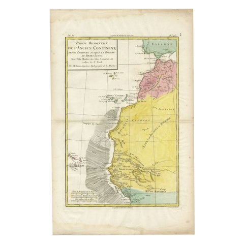
Antique Map of the Coast of Northwest Africa by Dien, 1820
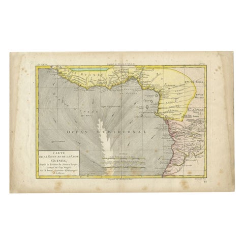
Antique Map of the Coast of Guinea, Africa, 1820
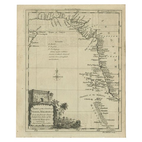
Antique Map of the Coast of Southwest Asia by Kitchin, c.1770
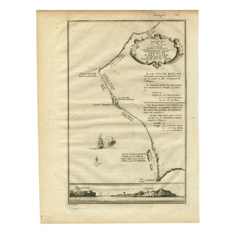
The Cape Verde Islands Coast Antique Engraving by Van Schley, 1747