1850 and after: Steam and steel
Sea charts and maritime prints printed from 1850 onward, the steam and steel. Every one a period original.
11 pieces
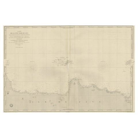
Early French Nautical Chart of the Northern Coast of of Java, Indonesia, C.1850
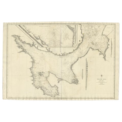
Large Antique Chart of The White Sea, Russa 1854
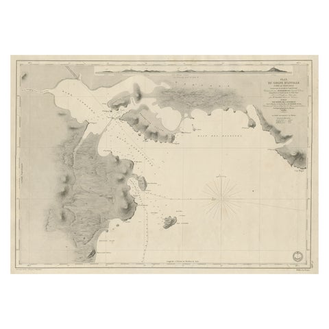
Antique Map of Part of the Chinese Coast, Explored by the French, Ca.1852
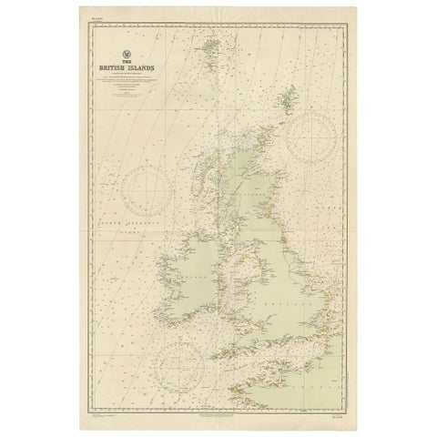
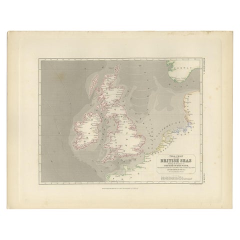
Large Sea Chart of the British Islands, 1918
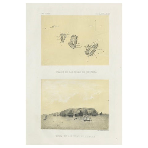
Chincha Islands Antique Lithograph 1865, Map & Coastal Scene, Peru
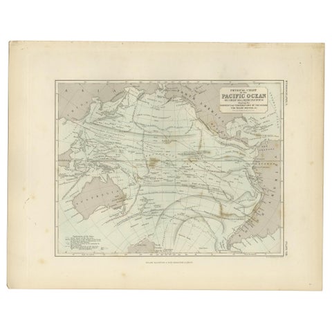
Antique Physical Chart of the Pacific Ocean by Johnston, '1850'
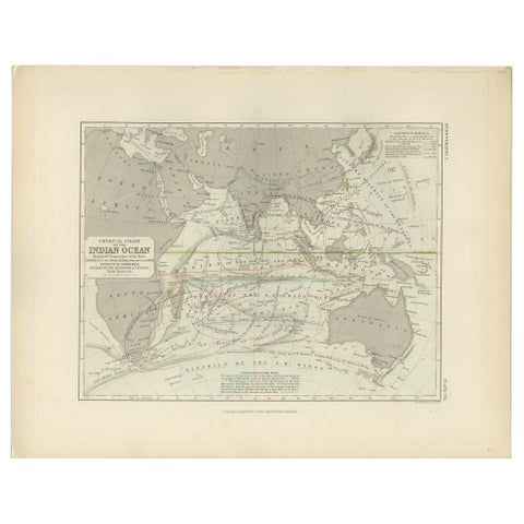
Antique Physical Chart of the Indian Ocean by Johnston '1850'
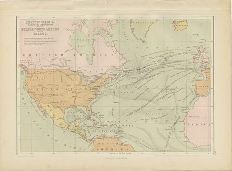
Antique Chart of the Atlantic Ocean, Europe to North America Route, 1870
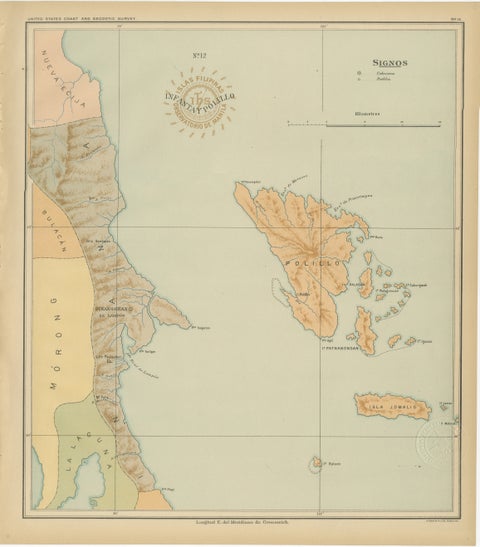
Map of Polillo Islands and Eastern Luzon Coast, Observatorio de Manila, 1899
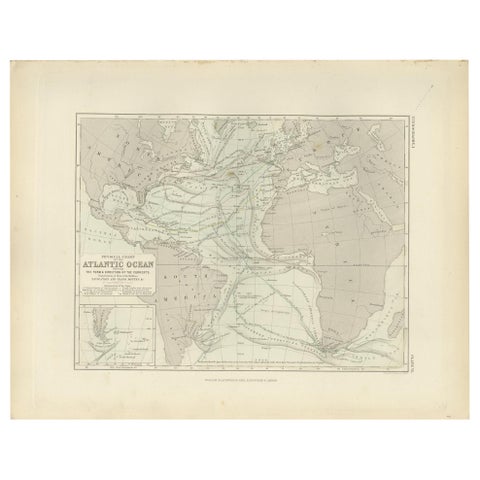
Antique Physical Chart of the Atlantic Ocean by Johnston '1850'