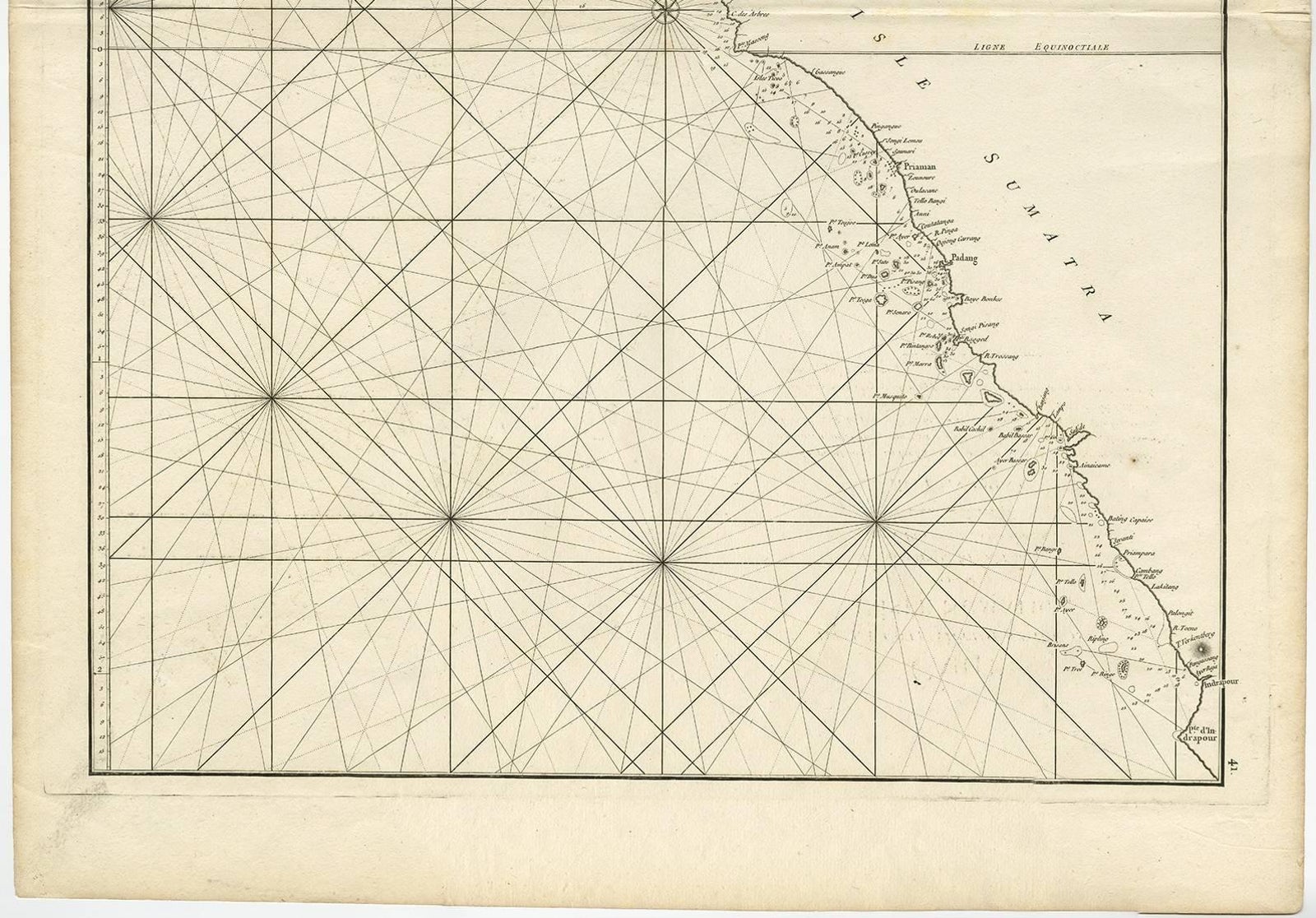
Close-ups
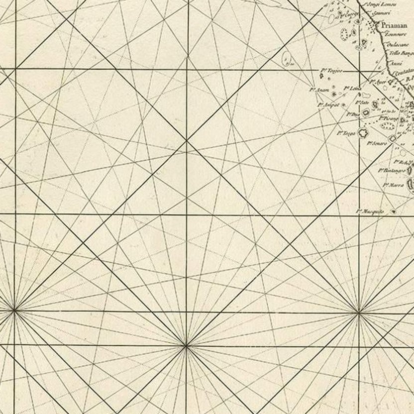
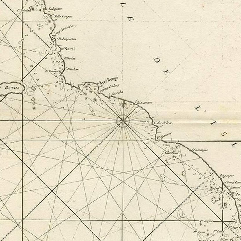
Framed and on the wall
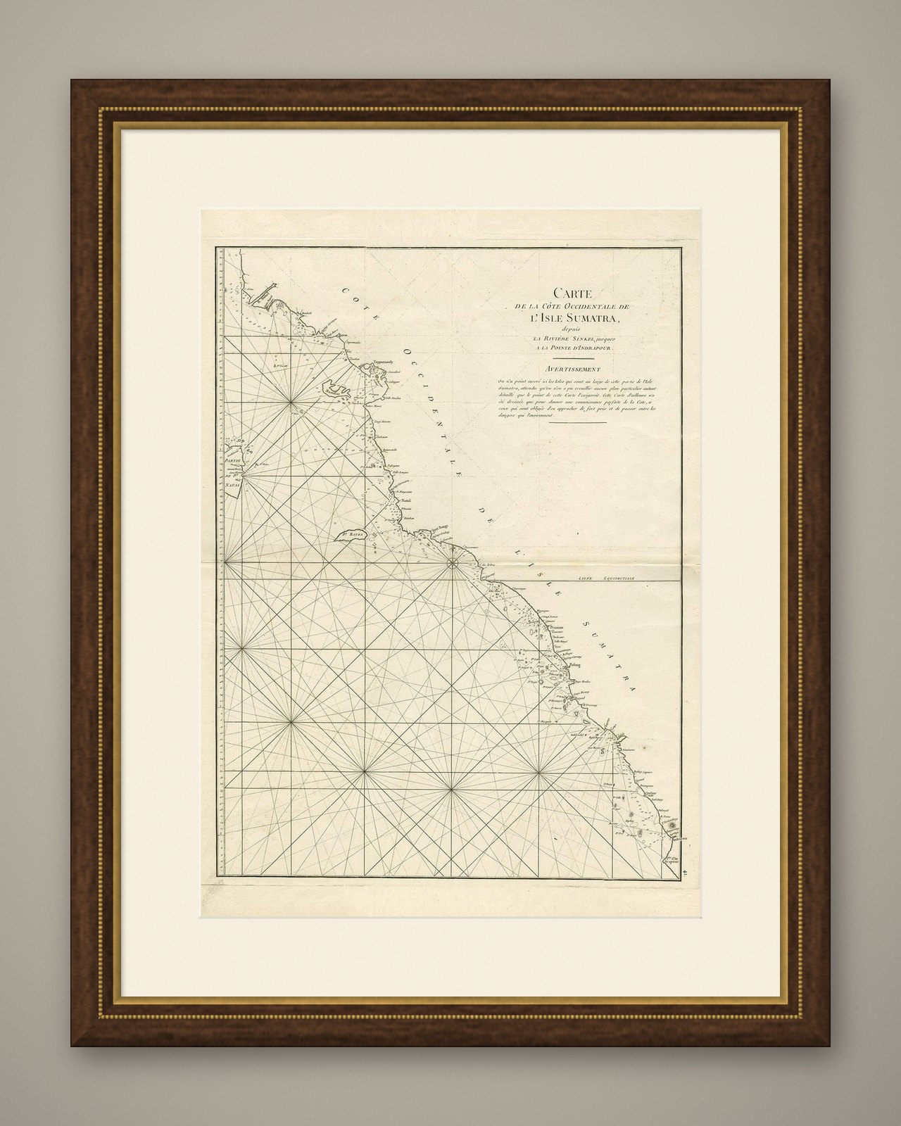
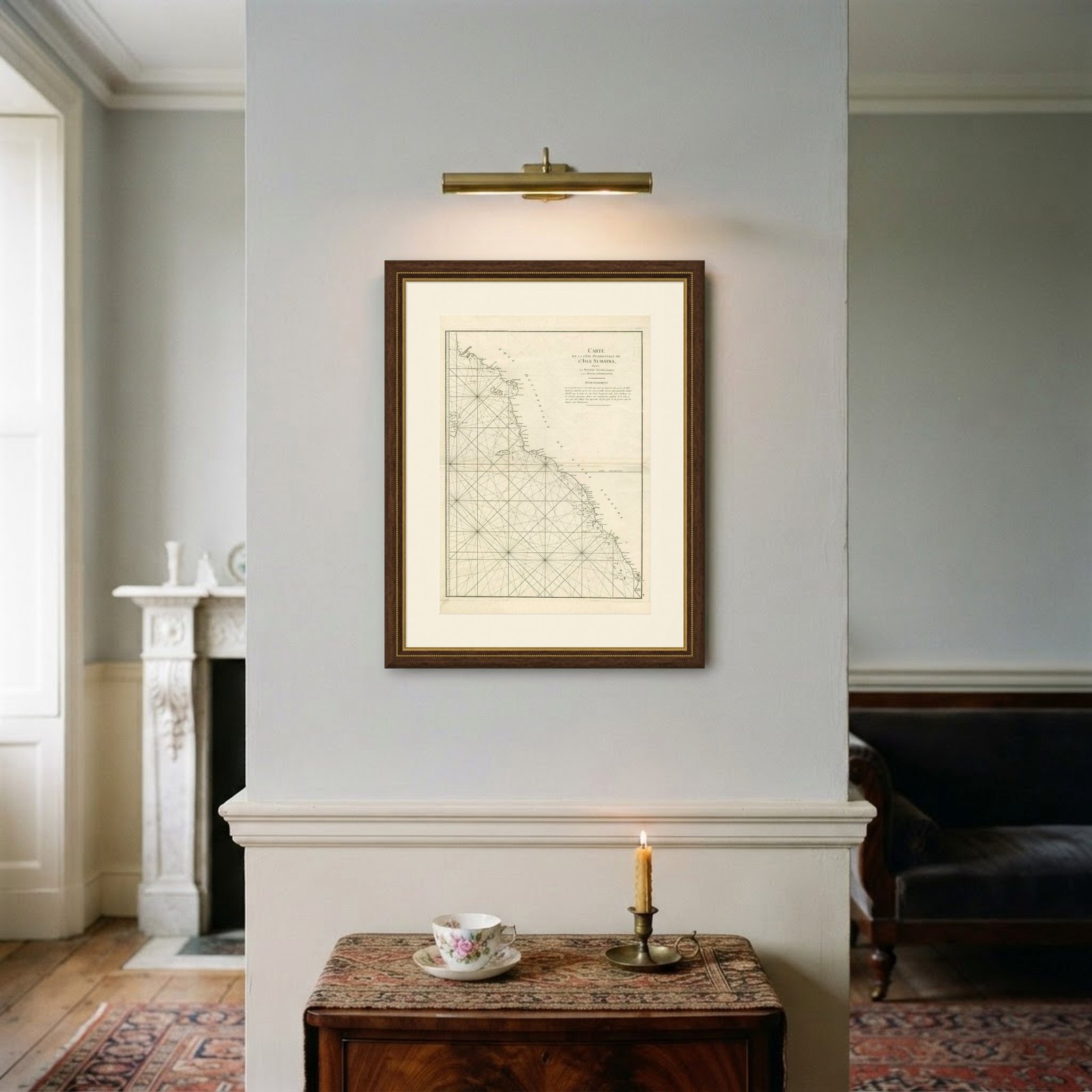

Frame and rooms are illustrations of how the piece could look; it is sold unframed unless the description says otherwise.
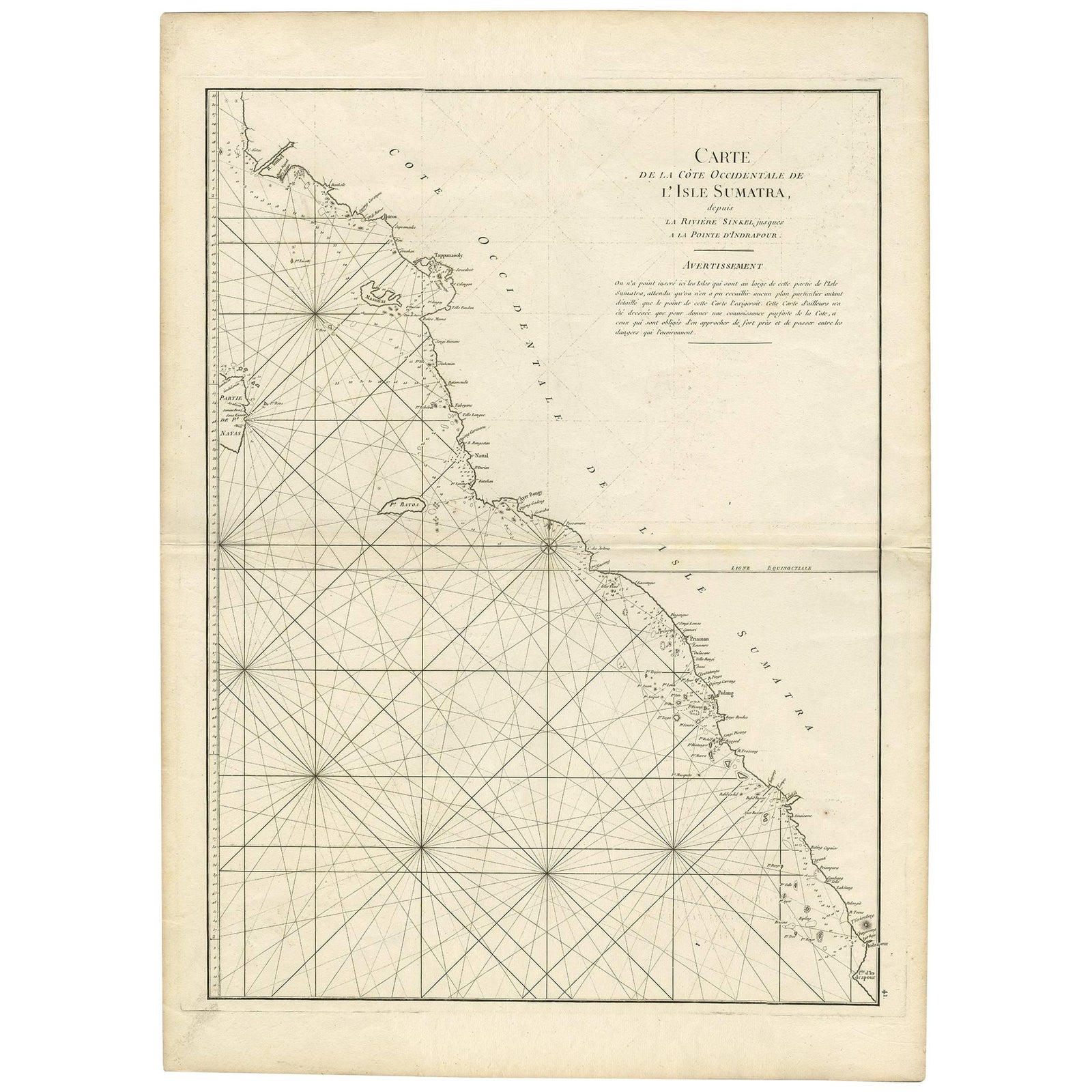
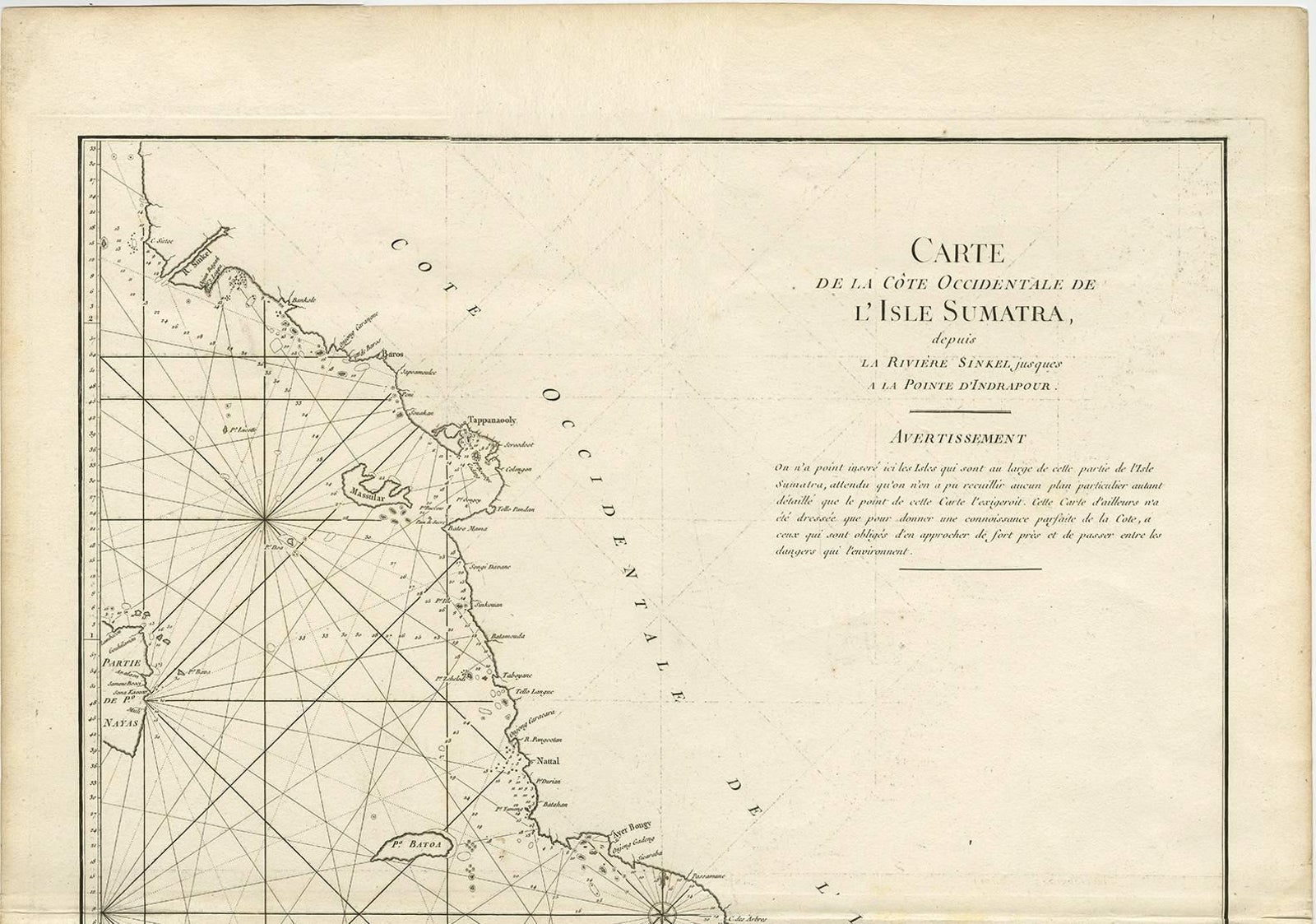
1745 Antique Coastal Map of West Sumatra by J. Mannevillette
€332
$370 · £280
Original print, not a reproduction.
Ships worldwide from the Netherlands, flat, insured and tracked. 14-day returns.
- Date
- 1745
- Sheet size
- 30.3 × 21.9 in (77 × 55.5 cm)
- Condition
- Good. Please study images carefully.
- Collection
- Sea charts
- Era
- 1700 to 1789, Age of discovery
- Stock no.
- f_8972561
Antique map titled 'Carte de la côte occidentale de l'isle Sumatra depuis la ligne équinoctiale jusqu'au détroit de la Sonde'. Beautiful coastal map of West Sumatra, an island in Western Indonesia. This map originates from 'Le Neptune Oriental'.