Framed and on the wall
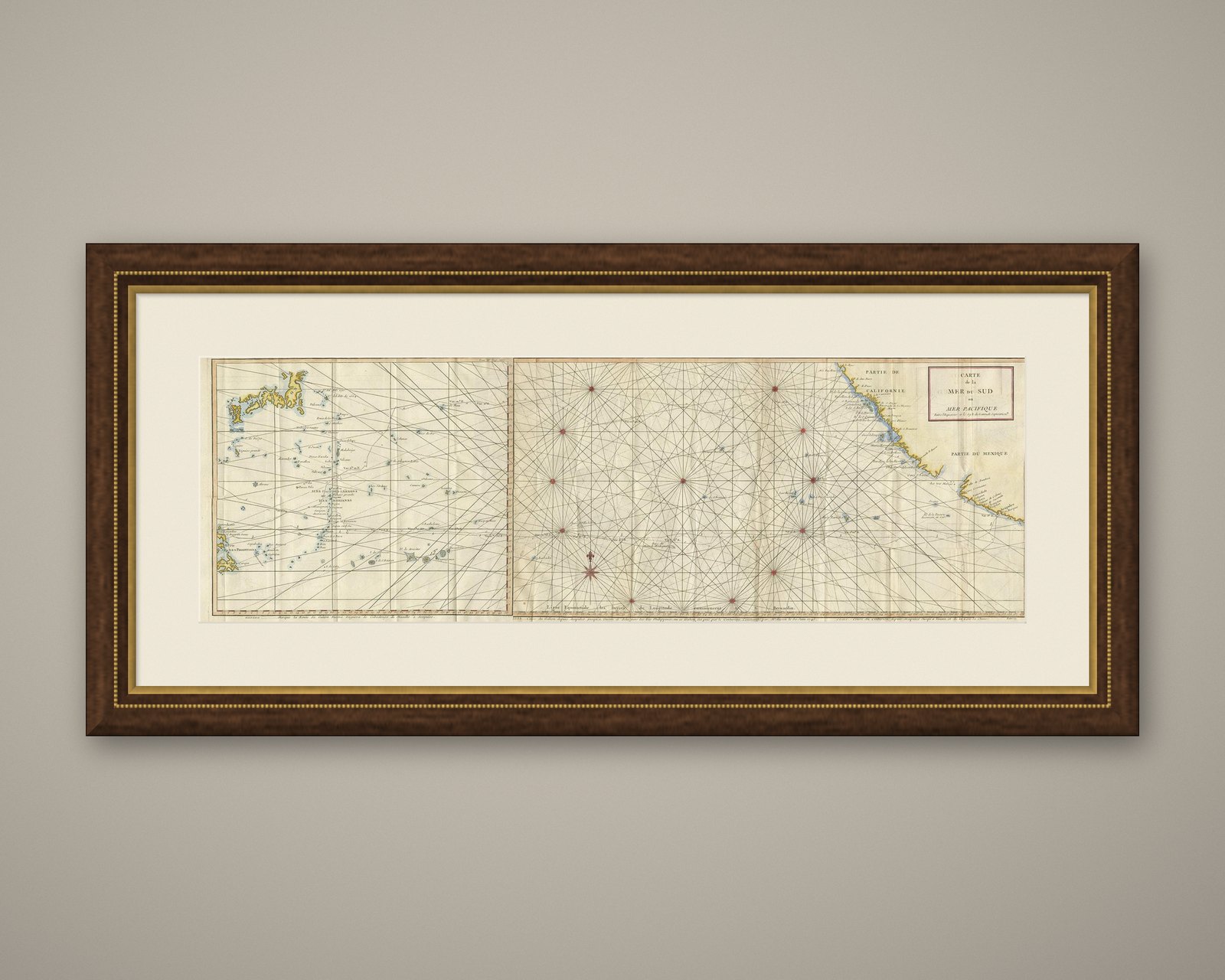
Frame and rooms are illustrations of how the piece could look; it is sold unframed unless the description says otherwise.
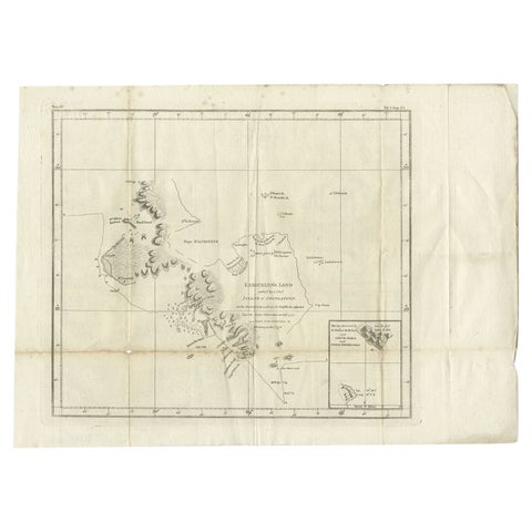
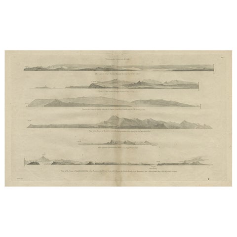
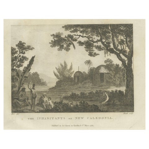
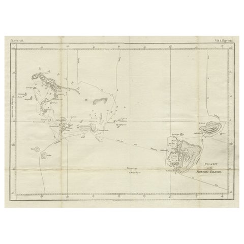
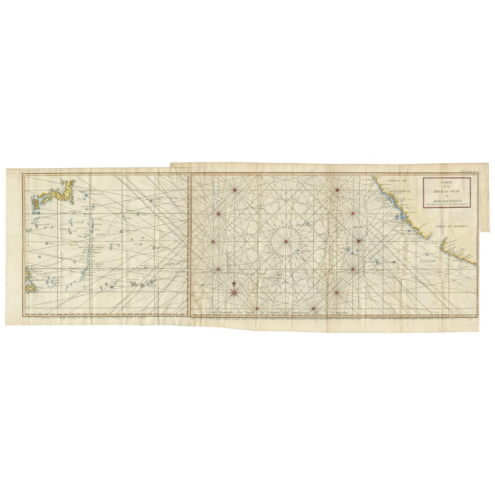
Antique Chart of the Mid-Pacific Ocean by Anson, c.1784
$1,680
€1,500 · £1,270
Original print, not a reproduction.
Ships worldwide from the Netherlands, flat, insured and tracked. 14-day returns. To buy, use Ask a question and we will reserve it for you.
- Date
- 1784
- Sheet size
- 12.6 × 35.4 in (32 × 90 cm)
- Technique
- Engraved
- Condition
- Good. Two sheets joined together. Original folding lines. General age-related toning, minor wear. Blank verso. Please study images carefully.
- Collection
- Voyages of discovery
- Era
- 1700 to 1789, Age of discovery
- Stock no.
- f_23726702
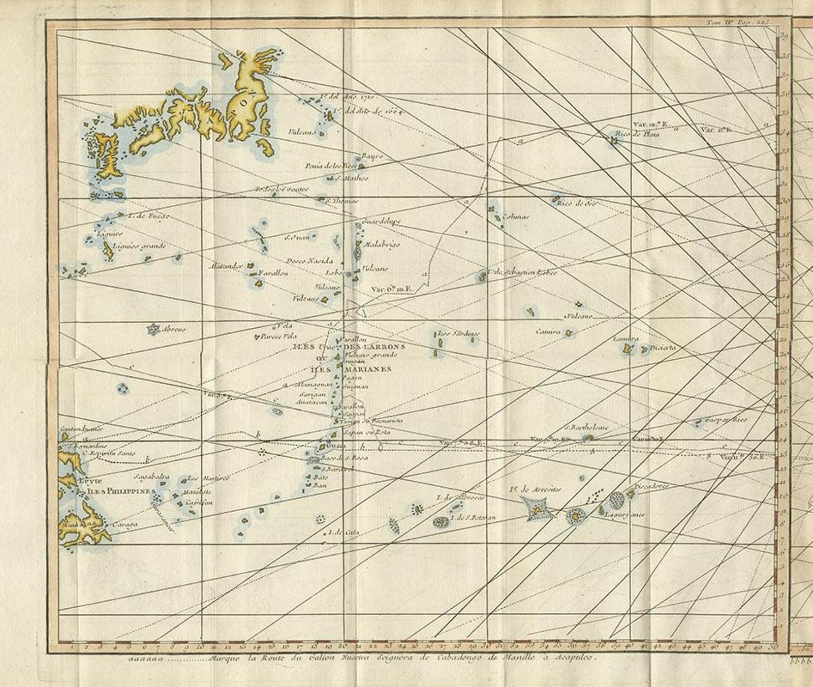
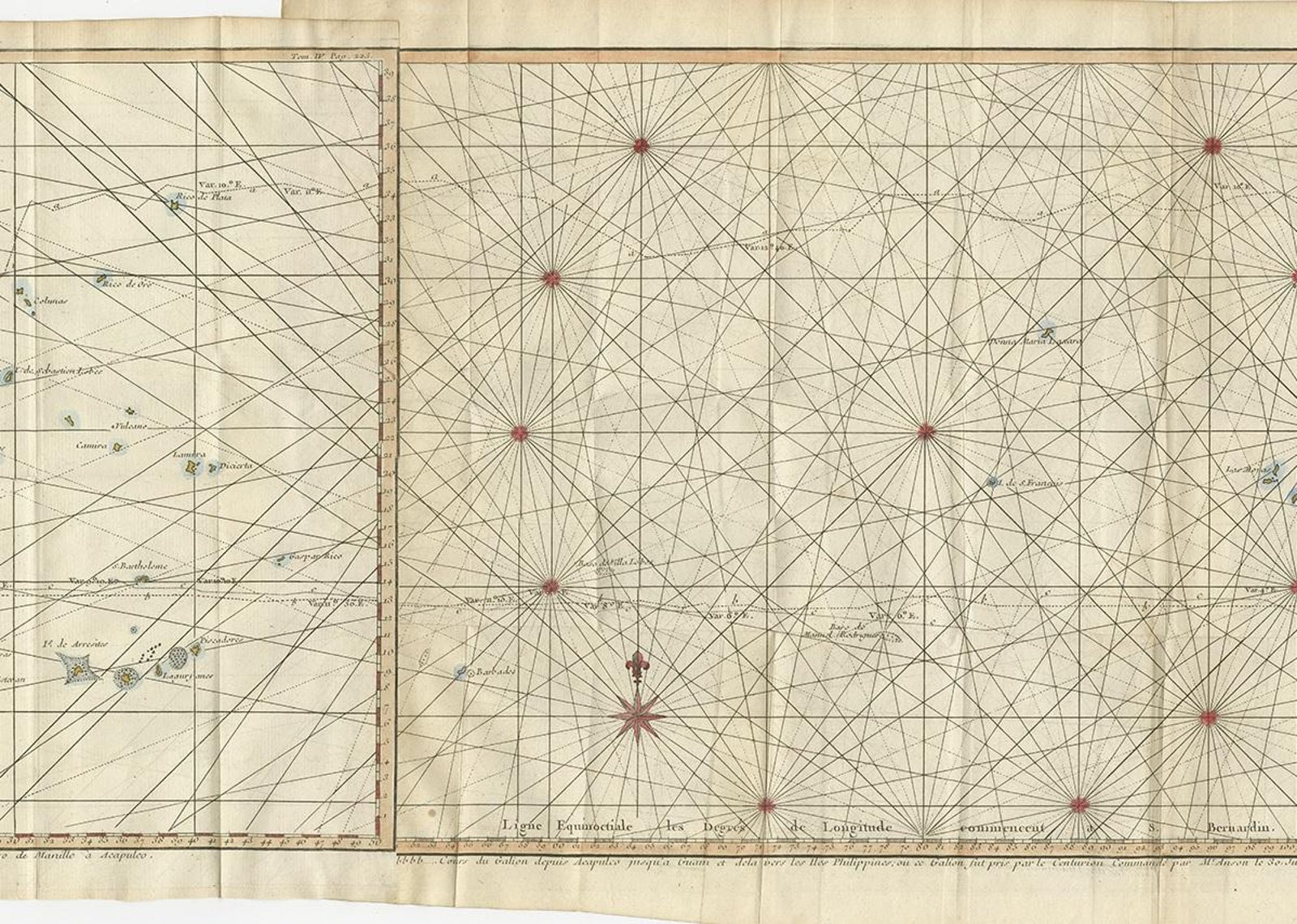
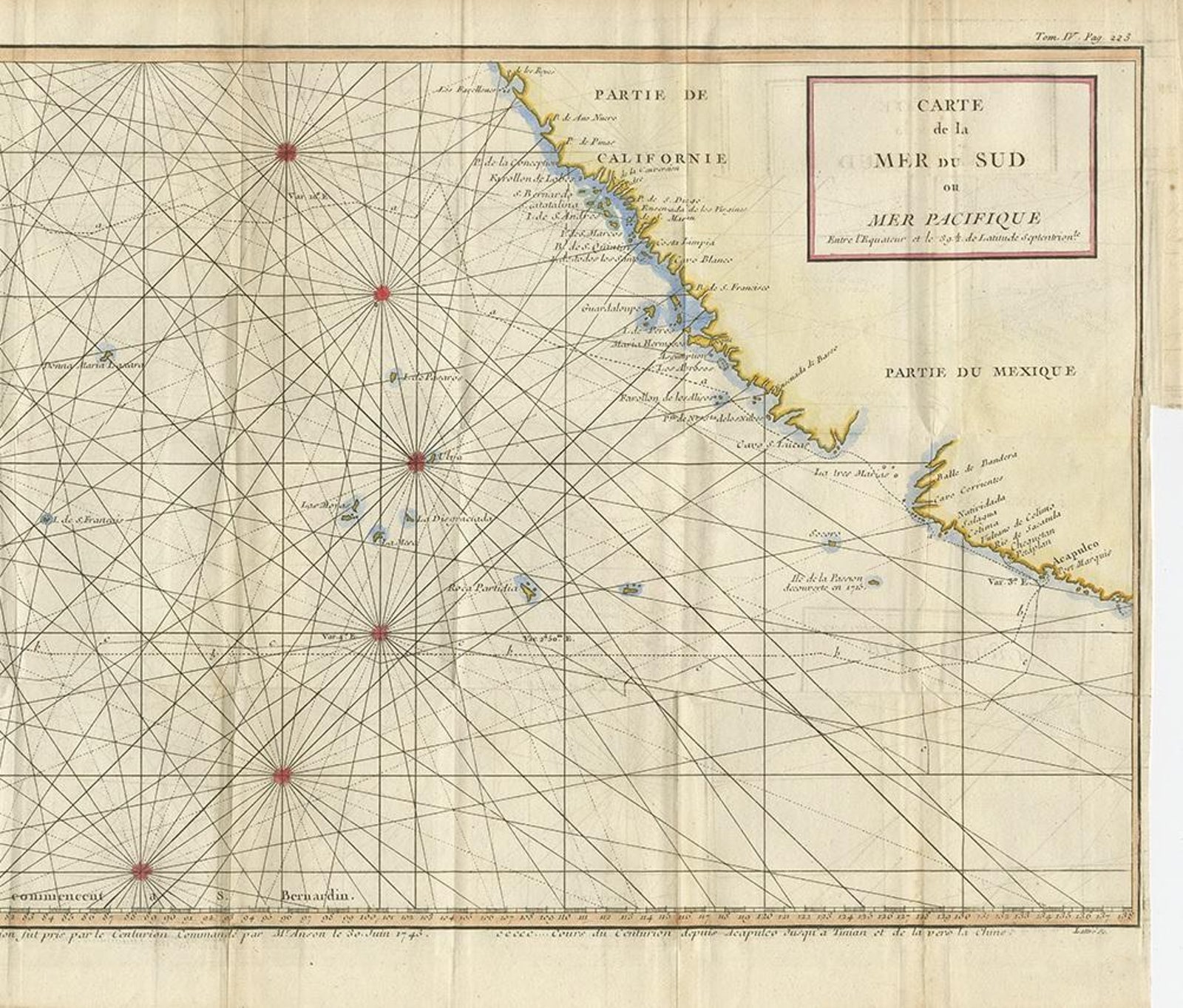
Antique map titled 'Carte de la Mer du Sud ou Mer Pacifique'. Original chart of the mid-Pacific Ocean, includes voyage tracks of Anson’s Centurion and the ship he stalked, the Spanish treasure galleon, Nuestra Señora de la Covadonga. The chart shows the width of the ocean at 39.5° of latitude, flanked by the coasts of California and Mexico to the east and the Philippines and Japan to the west. A few islands are included on the chart, but the main draw are the three ships’ tracks that dot the waters. Route “a” is that of the Covadonga from Manila to Acapulco, “b” is the Covadonga on its way back to Manila, and “c” is the Centurion. Where track “b” meets the Cabo Espiritu Santo of the Philippines is where the battle with Anson took place. Published by G. Anson, circa 1784.