Antique Sea Charts and Prints: The Pacific
The Pacific as the voyagers first charted it: Tahiti, Tonga, New Zealand, Hawaii, the Marquesas and the islands between, from the voyage accounts of Cook, Anson, Bougainville and Dumont d'Urville.
38 pieces
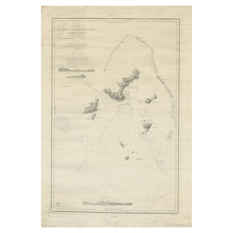
Large Chart of the Gambier Islands, Tuamotu Archipelago, French Polynesia, 1838
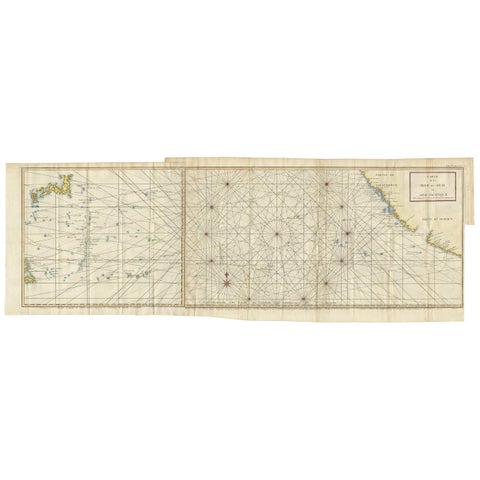
Antique Chart of the Mid-Pacific Ocean by Anson, c.1784
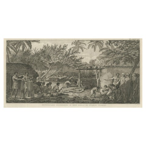
Human Sacrifice in a Morai, Tahiti, Cook Voyage Engraving c.1795
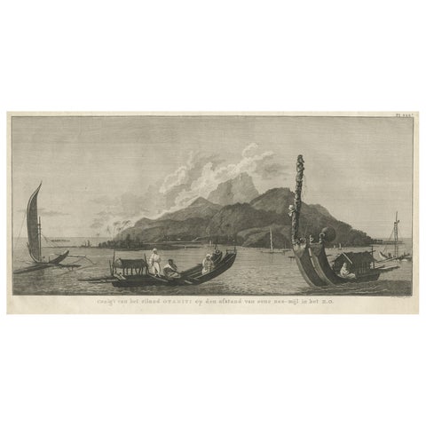
View of the Island of Tahiti, with Outrigger Canoes and Sailing Catamarans, 1803
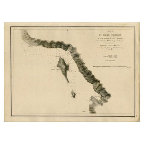
Antique Map of the Coast of New Ireland, Earlier Part of German New Guinea, 1833
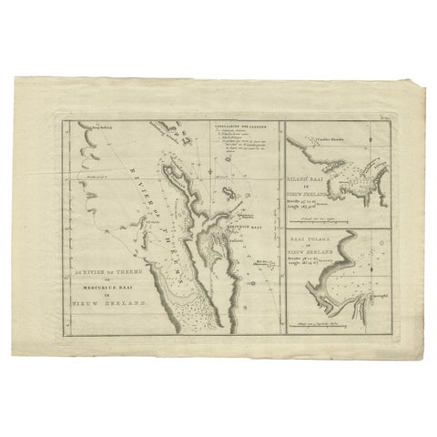
Detailed Map of New Zealand Showing the Route of Capt. Cook's First Voyage, 1803
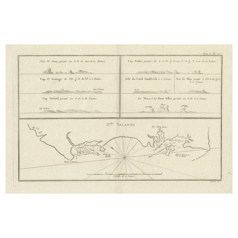
Antique Map of New Ireland (Pacific) with Coastal Profiles, Cook Voyages, 1774
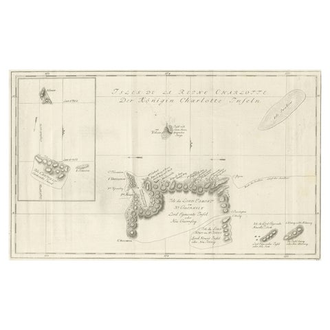
Original Antique Chart of the Santa Cruz Islands, 1774
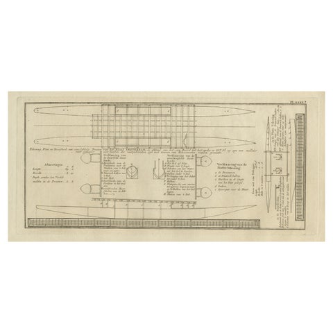
Old Drawing or Plan of a Proa of Amsterdam Island, Now Tongatapu, Tonga, 1803
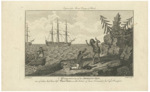
Moskito Men Reunion, Juan Fernandez Island, Dampier Voyage Engraving, ca.1789
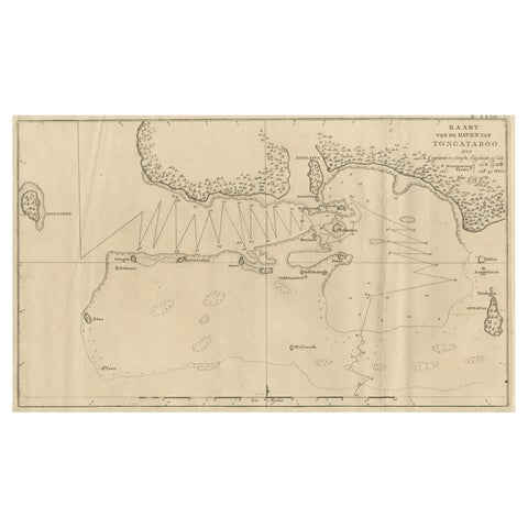
Antique Map of the Harbour of Tongatabu, One of the Tonga Islands, 1803
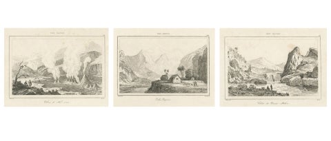
Hawaiian Volcanoes & Valleys, Antique Voyage Engravings, Renzi, Paris 1836
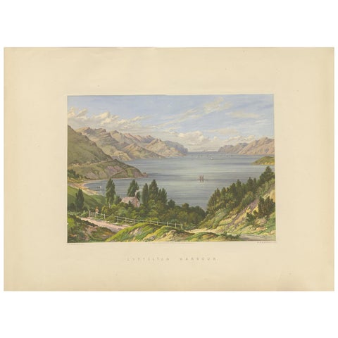
Antique Print of Lyttelton Harbour 'New Zealand' by Blatchley, circa 1877
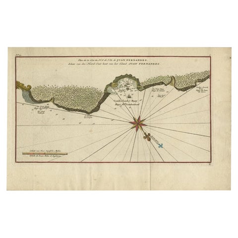
Juan Fernandez Island Map, Antique Chilean Chart circa 1750
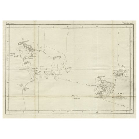
Antique Chart of the Friendly Islands or Nowadays Tonga, by Cook, 1784
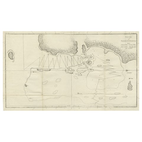
Antique Map of the Harbour of Tongatabu by Cook, C.1783
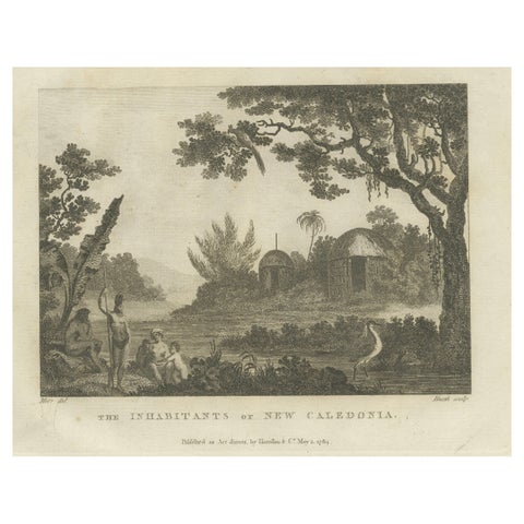
Serene Daily Life in New Caledonia: A Captured Moment from Cook's Voyages, 1784
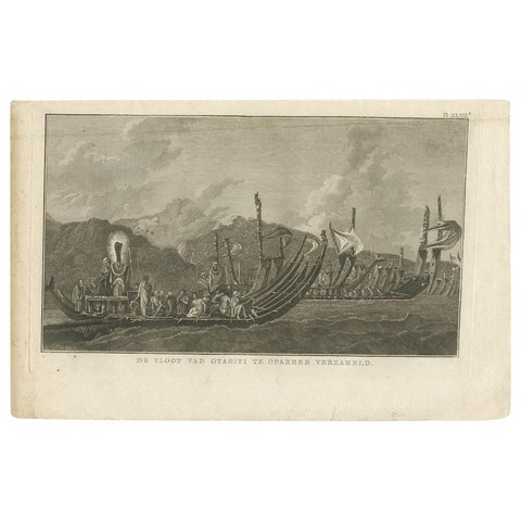
Antique Print of the Fleet of Proas of Tahiti by Cook, 1803
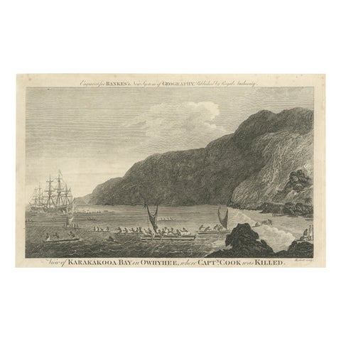
Final Voyage: The Death of Captain Cook at Kealakekua Bay, Hawaii, 1779
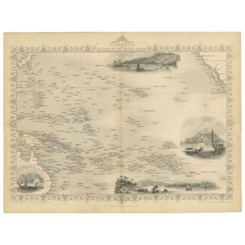
Map of Polynesia Highlighting Cultural Landscapes and Maritime Activities, 1851
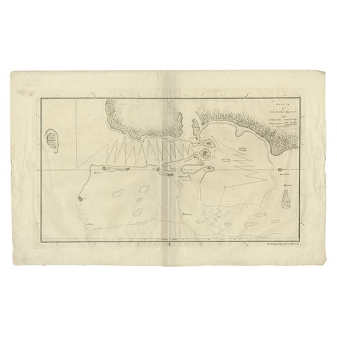
Original Antique Map of the Harbour of Tongatabu by Cook, 1784
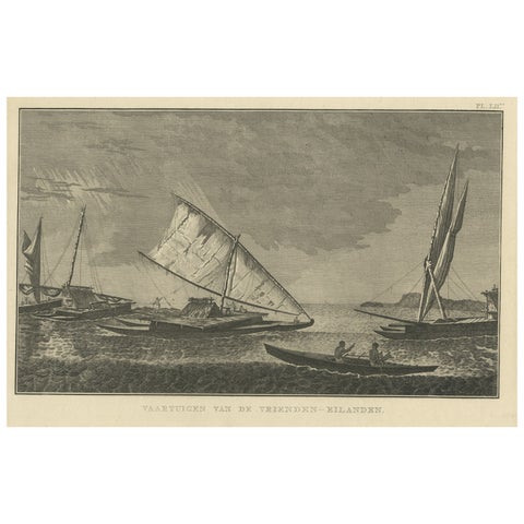
Antique Print of Boats of the Friendly Islands or Tonga, by Cook, c.1801
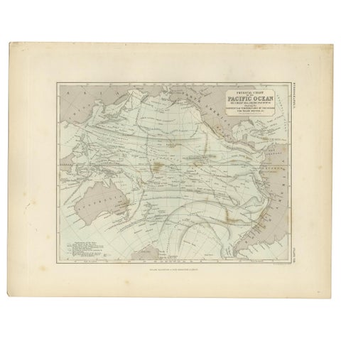
Antique Physical Chart of the Pacific Ocean by Johnston, '1850'
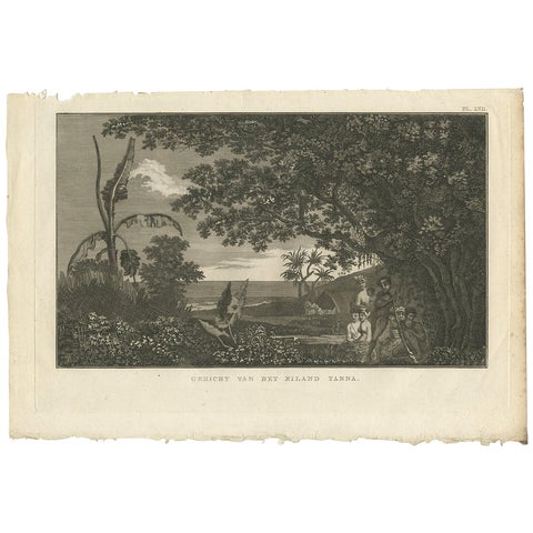
View of Tanna Island: A Glimpse into Vanuatu from Cook's Voyages, 1803
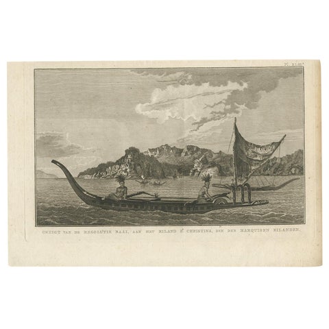
Resolution Bay on St. Christina: A Glimpse of the Marquesas in Cook's Voyages
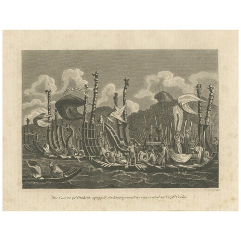
Naval Might of Tahiti: War Canoes Observed by Captain Cook, circa 1817
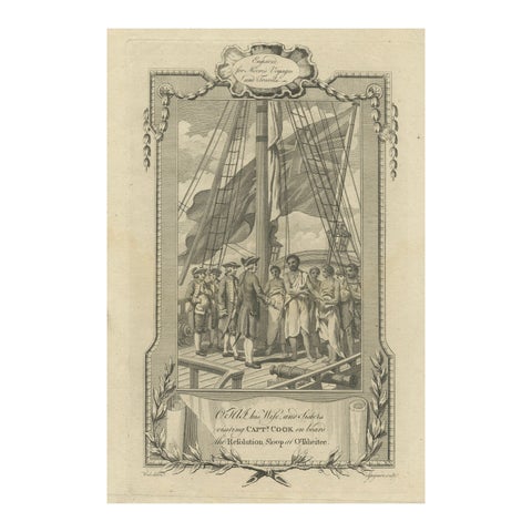
1778 Engraving: Captain Cook's Second Voyage, Meeting the Tahitians
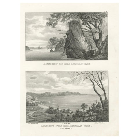
Scenic Views of Inseln Bay, New Zealand, from the Astrolabe Voyage, circa 1836
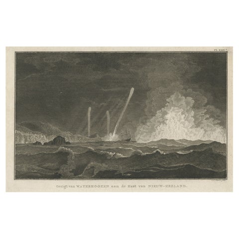
Antique Print of Three Whirlwinds and a Ship off the Coast of New Zealand, 1803
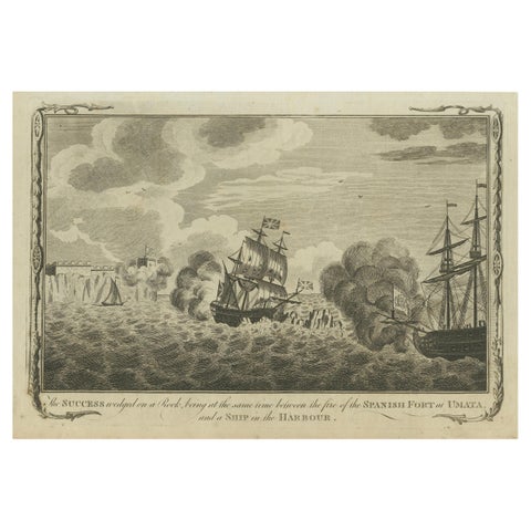
Naval Engagement at Unalata, Guam: The Peril of HMS Success, circa 1790
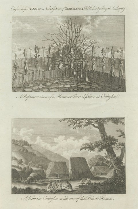
Hawaii Religious Site & Village Engravings, Owhyhee, Cook Voyage, c.1790
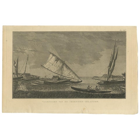
Antique Print of Various Vessels of the Friendly Islands by Cook, 1803
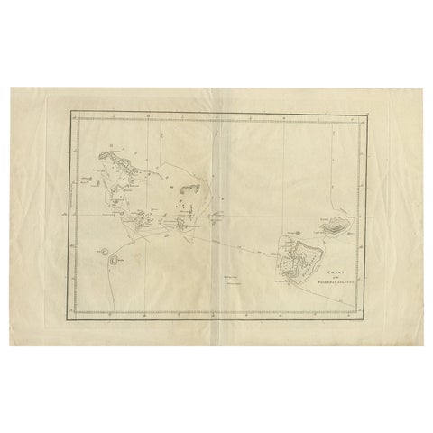
Antique Chart of the Friendly Islands or Tonga in the Pacific Ocean, 1785
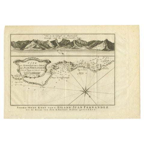
Antique Map of the Coast of Juan Fernandez by Van Schley, 1757
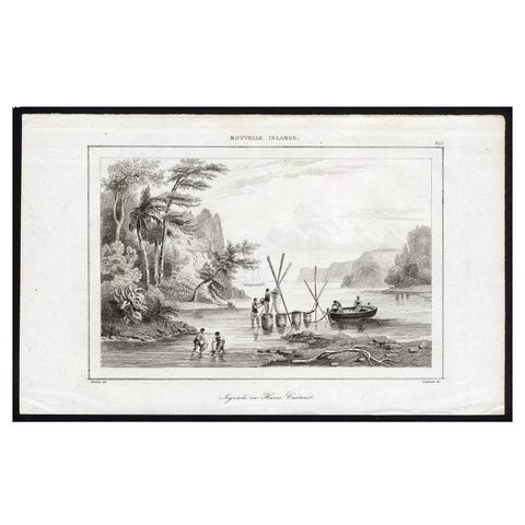
Antique Print of Sailors at New Ireland, 1836
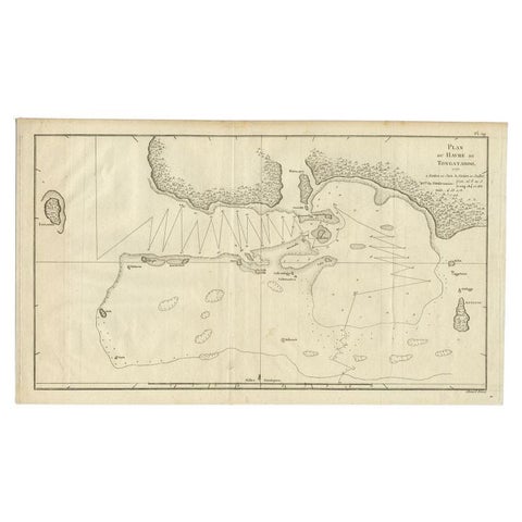
Antique Map of the Northern Coast of Tongatapu by Benard, c.1785
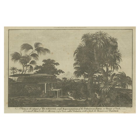
A View of the Ewharrano Eatua, or House of God, in Huahine from Cook's Voyages
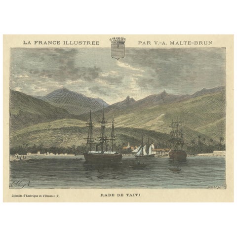
Rade de Taïti: 1883 Hand-Colored Engraving of Tahiti Harbor, La France Illustree
More to explore
PLACES