Close-ups
Framed and on the wall
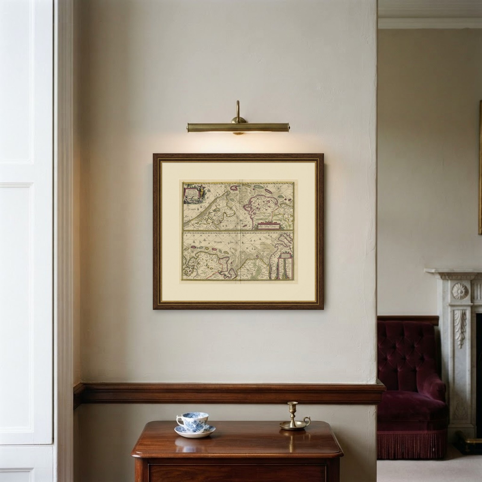
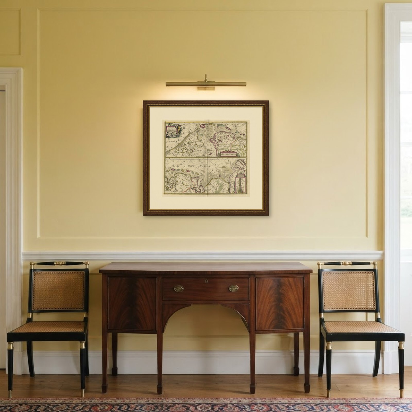
Frame and rooms are illustrations of how the piece could look; it is sold unframed unless the description says otherwise.
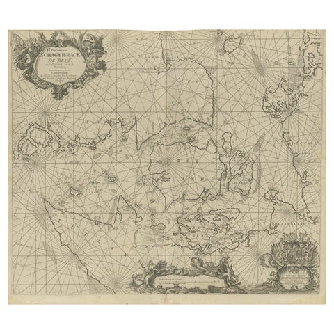
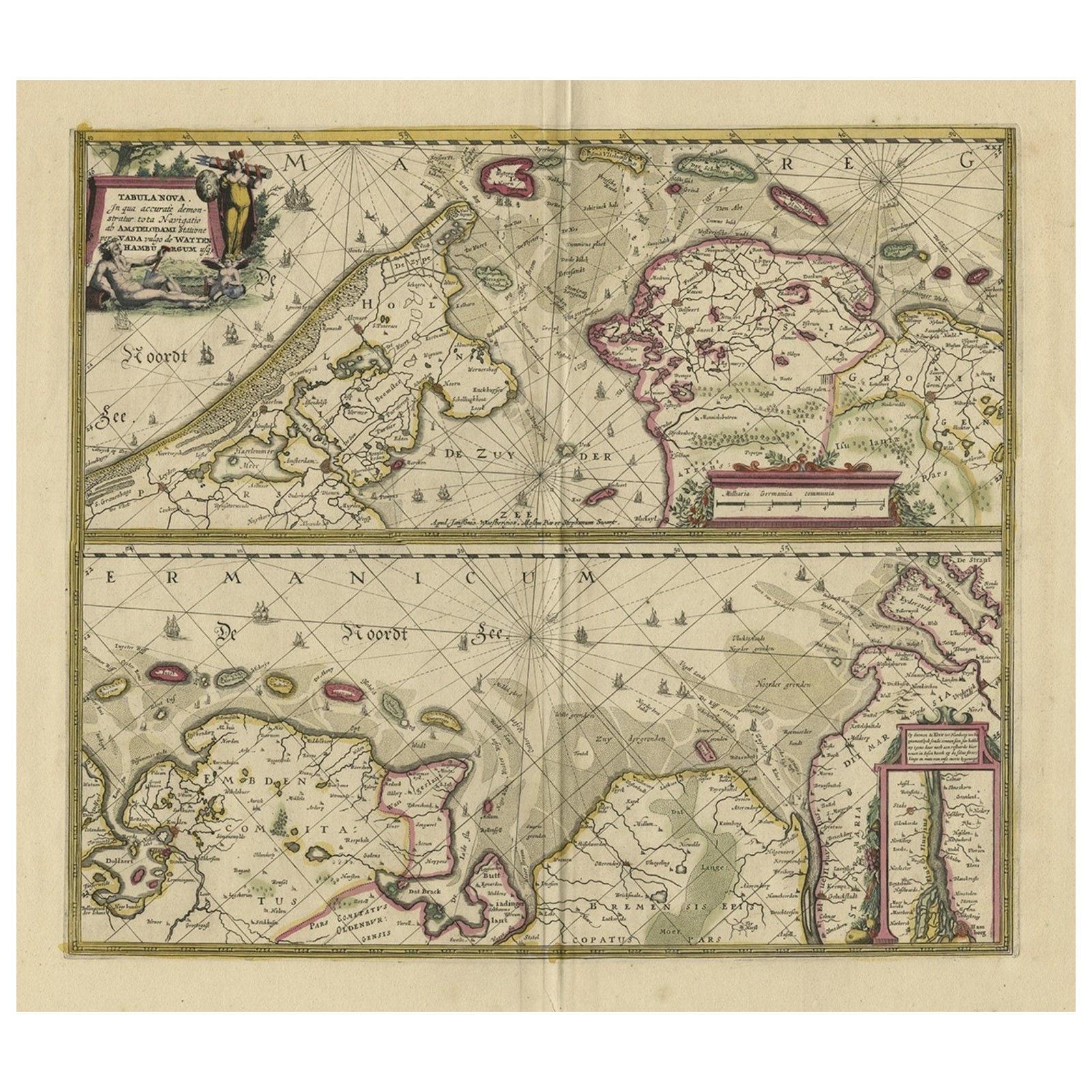
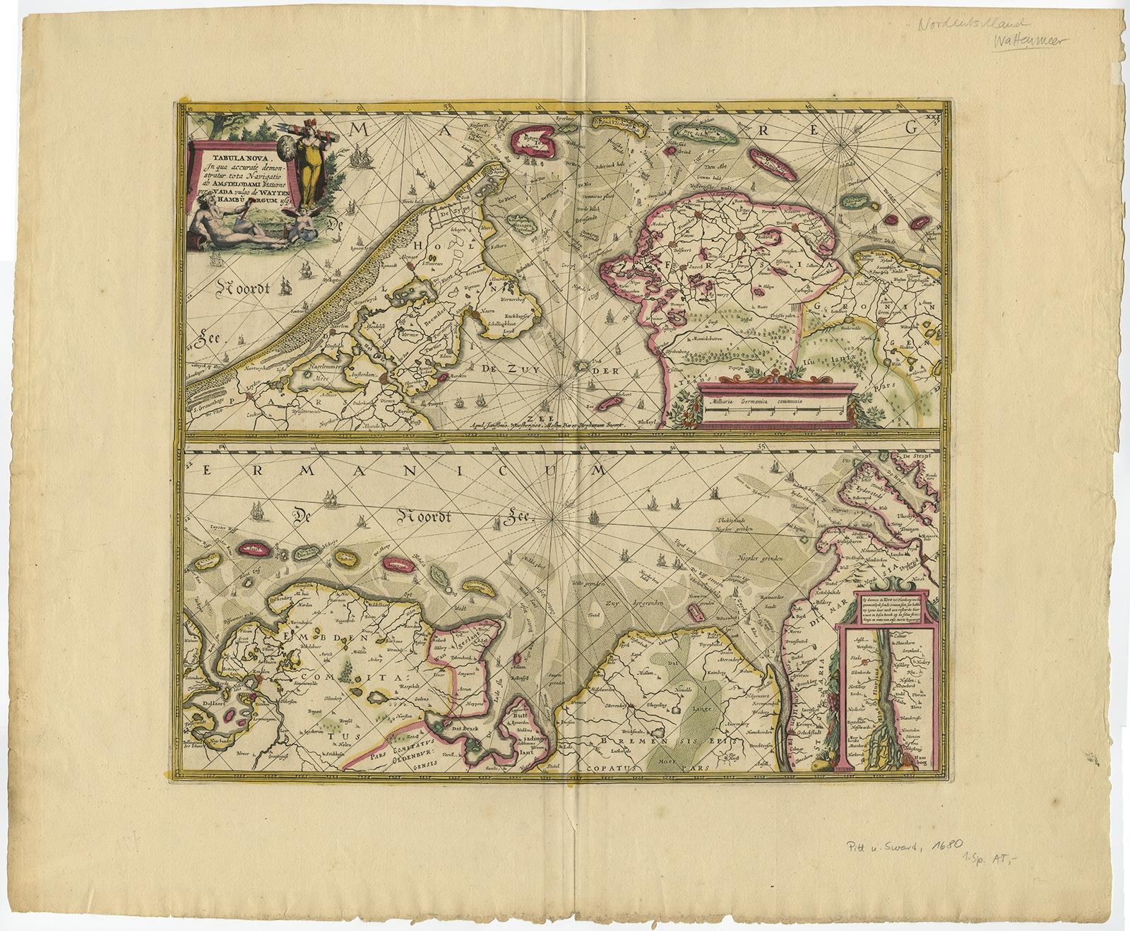
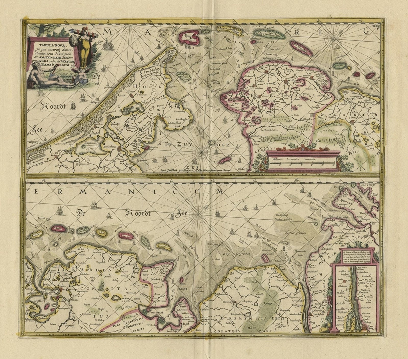
Antique Engraving of Dutch and German North Sea Coast of Friesland, ca.1680
$1,290
€1,150 · £975
Original print, not a reproduction.
Ships worldwide from the Netherlands, flat, insured and tracked. 14-day returns. To buy, use Ask a question and we will reserve it for you.
- Date
- 1680
- Sheet size
- 23.4 × 28 in (59.5 × 71 cm)
- Condition
- Good. Given age. Edges with a few small tears. Paper separation lower middle fold; backed and not affecting image. A few minor crinkles and small creases. One tiny hole in middle fold image. Original middle fold as issued.
- Collection
- Sea charts
- Era
- Before 1700, Dutch Golden Age
- Stock no.
- f_26763202
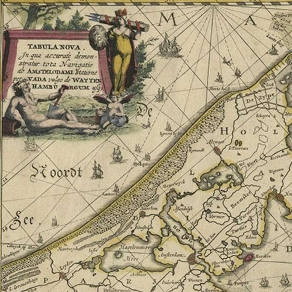
Antique map titled 'Tabula Nova In qua accuratè demonstratur tota Navigatio ab Amstelodami Statione per Vada vulgo de Watten Hamburgum usq.',
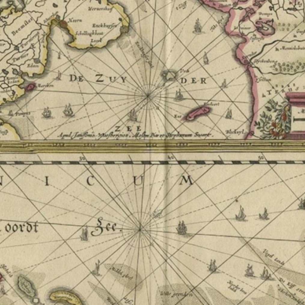
Two maps with the Dutch and German North Sea coast of Friesland, with West Frisian Islands and below East Frisian Islands with inset map of the Elbe around Hamburg. With title and a scale cartouche. Map by Henricus Hondius, first published by J. Janssonius (1634) ´NIEUWE CAERTE waerinne vertoont wordt de gantsche Vaert van Amsterdam over de WATTEN tot de stadt Hamborch toe´, here with the name and address changed from ´The English Atlas´ published by Moses Pitt, Steven Swart and Johannes Janssonius van Waesberghen, Oxford/Amsterdam 1683.
Artists and Engravers: Publisher: Henricus Hondius
Condition: Good, given age. Edges with a few small tears. Paper separation lower middle fold; backed and not affecting image. A few minor crinkles and small creases. One tiny hole in middle fold image. Original middle fold as issued. Very wide margins. General age-related toning and/or occasional minor defects from handling. Please study scan carefully.