Close-ups
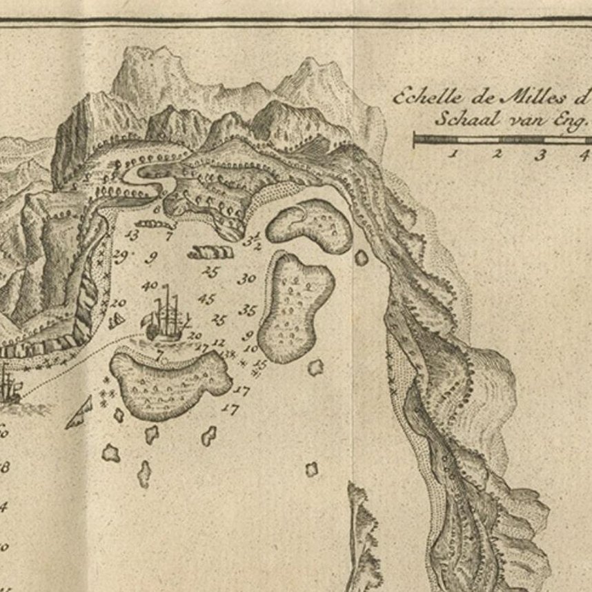
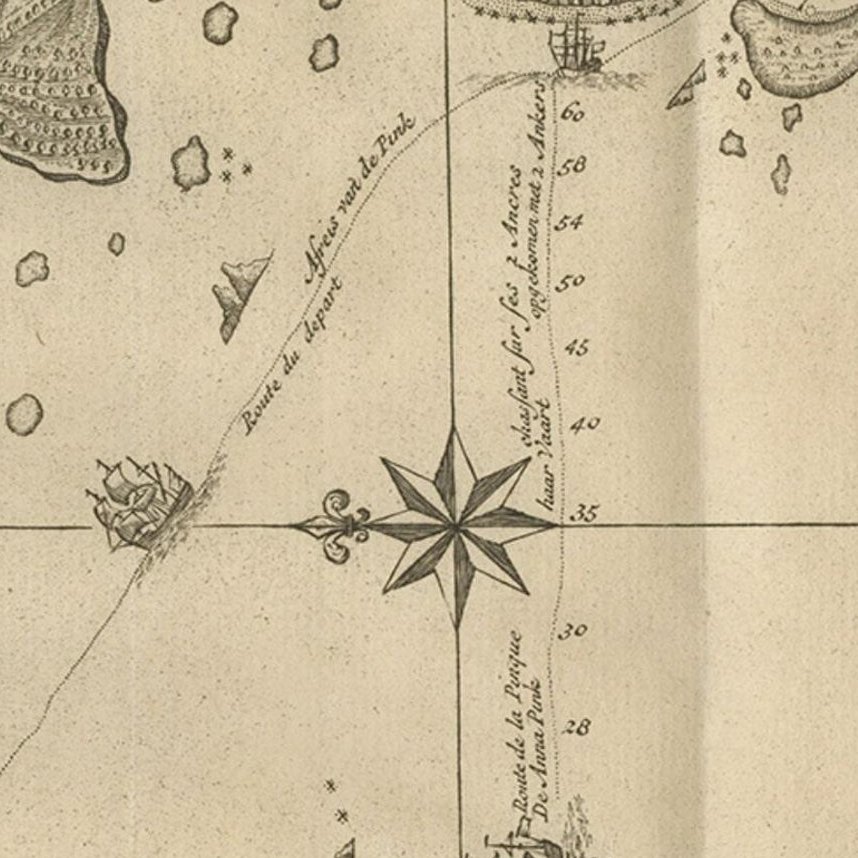
Framed and on the wall
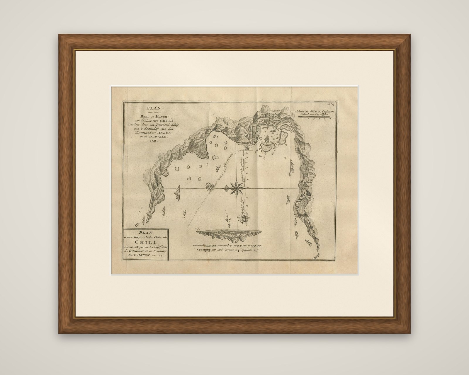
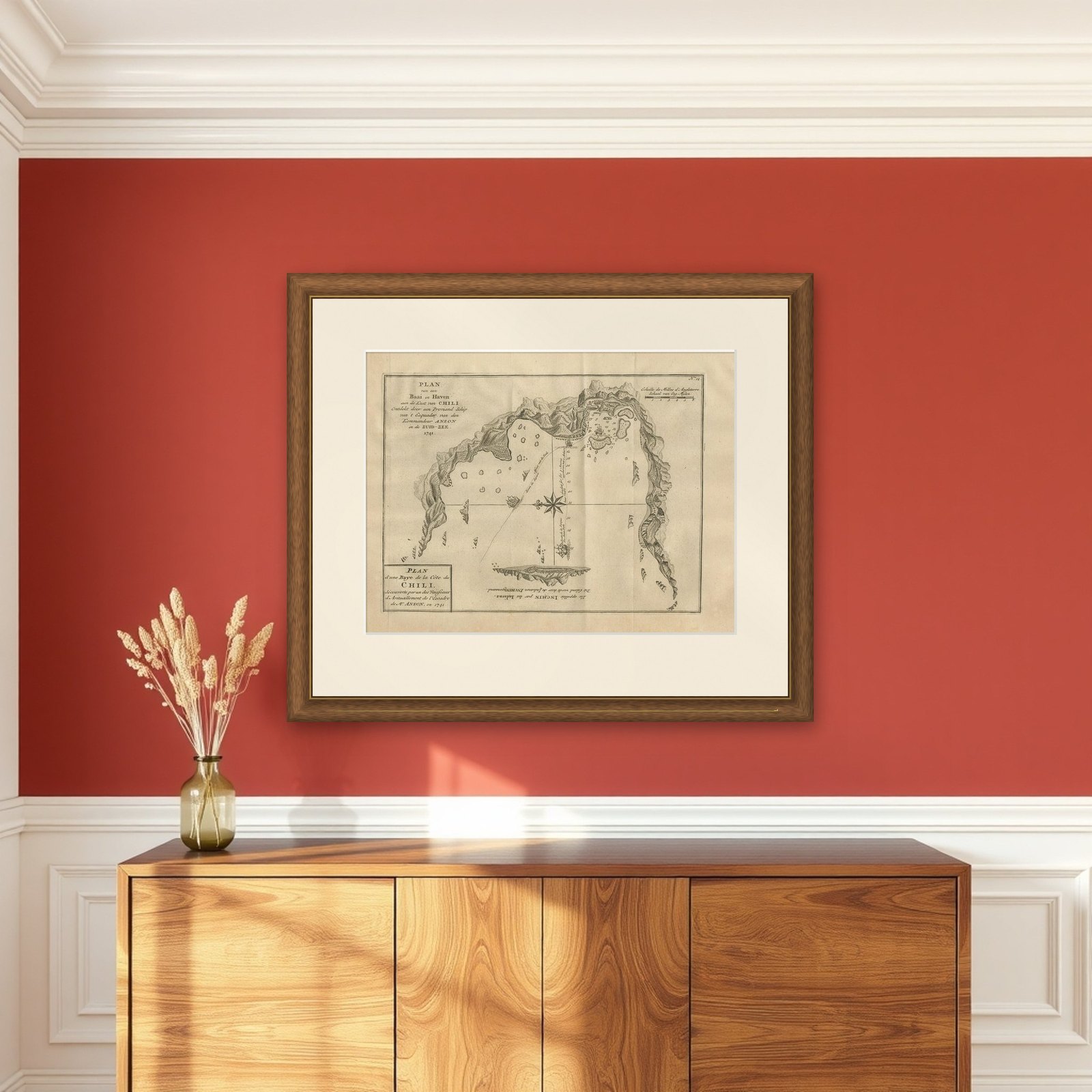
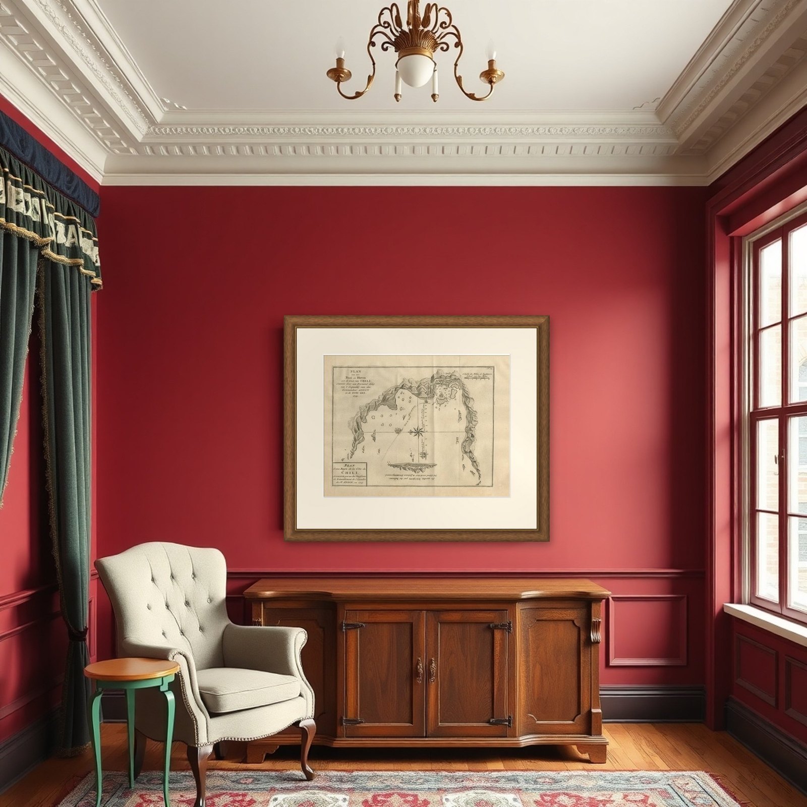
Frame and rooms are illustrations of how the piece could look; it is sold unframed unless the description says otherwise.
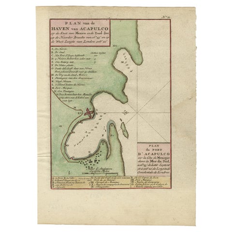
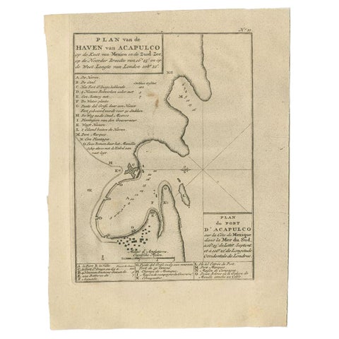
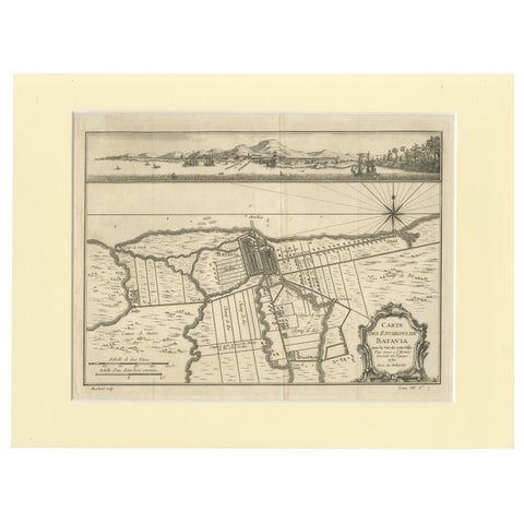
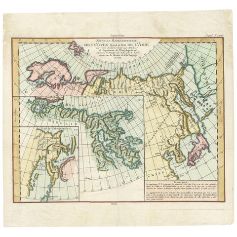
Antique Map of a Bay on the Coast of Chile, South America, c.1749
$360
€320 · £270
Original print, not a reproduction.
Ships worldwide from the Netherlands, flat, insured and tracked. 14-day returns. To buy, use Ask a question and we will reserve it for you.
- Date
- 1749
- Sheet size
- 10.6 × 14.2 in (27 × 36 cm)
- Condition
- Good. General age-related toning. Original folding lines. Minor wear, some foxing. Blank verso, please study image carefully.
- Collection
- Sea charts
- Era
- 1700 to 1789, Age of discovery
- Stock no.
- f_26126842
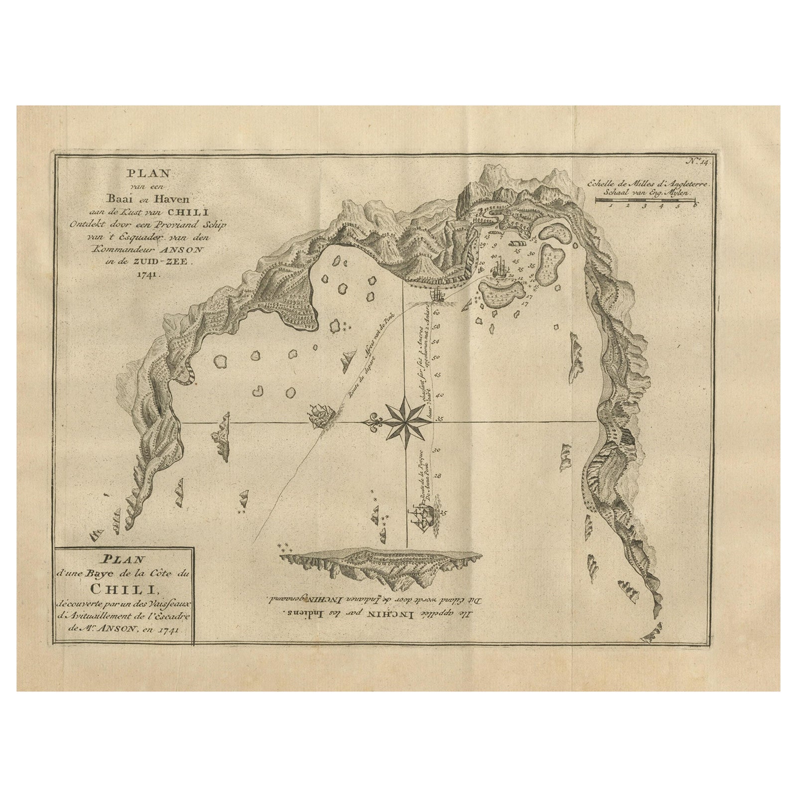
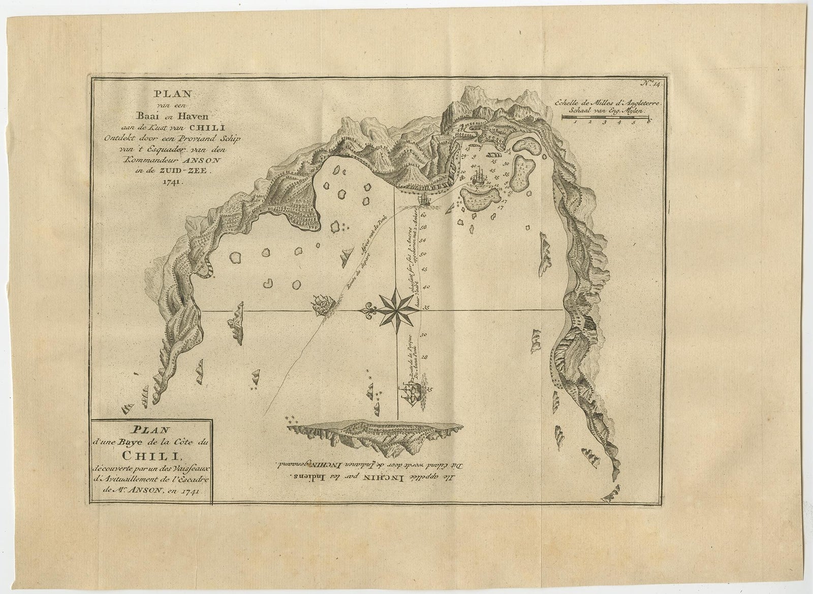
A bay and harbor on the coast of Chile, an original copper engraving from the Dutch edition of George Anson's Reize rondsom de Werreld (Voyage Round the World), published in 1749. The plan is lettered in two languages: in Dutch, "Plan van een Baai en Haven aan de Kust van Chili, ontdekt door een Proviand Schip van 't Esquadron van den Kommandeur Anson in de Zuid-Zee, 1741," and in French, "Plan d'une Baye de la Côte du Chili, découverte par un des Vaisseaux d'Avitaillement de l'Escadre de Mr. Anson, en 1741."
The harbor is drawn as a broad curve of water enclosed by hachured hills and mountains on three sides. Soundings are scattered across the bay, sailing directions are lettered along the tracks marked on the water, and small ships ride at anchor. A compass rose with crossed rhumb lines sits at the center, and a scale of English miles runs along the top right. Across the water an island is lettered, upside down, as the one opposite, called Inchin by the Indians.
Anson's squadron sailed into the Pacific in 1740 to attack Spanish possessions, and the supply ship that found this anchorage was one of its vessels. The plan is one of the working charts that made his published narrative so valuable to navigators.
EXPLORE