Close-ups
Framed and on the wall
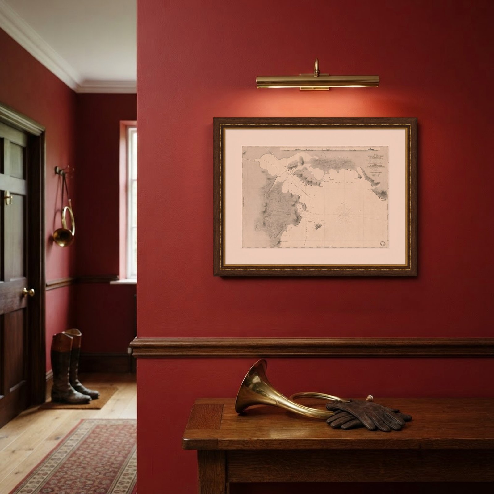
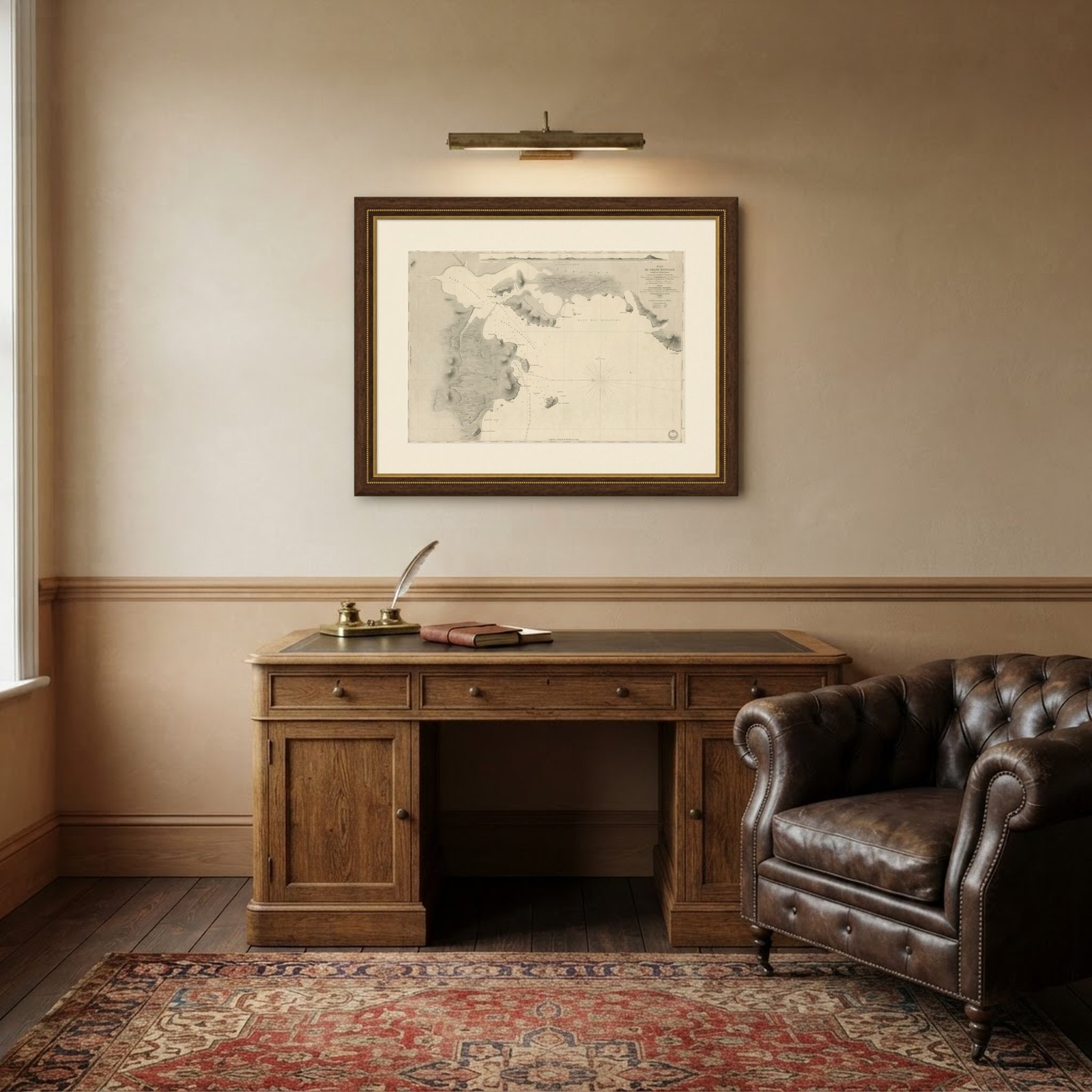
Frame and rooms are illustrations of how the piece could look; it is sold unframed unless the description says otherwise.
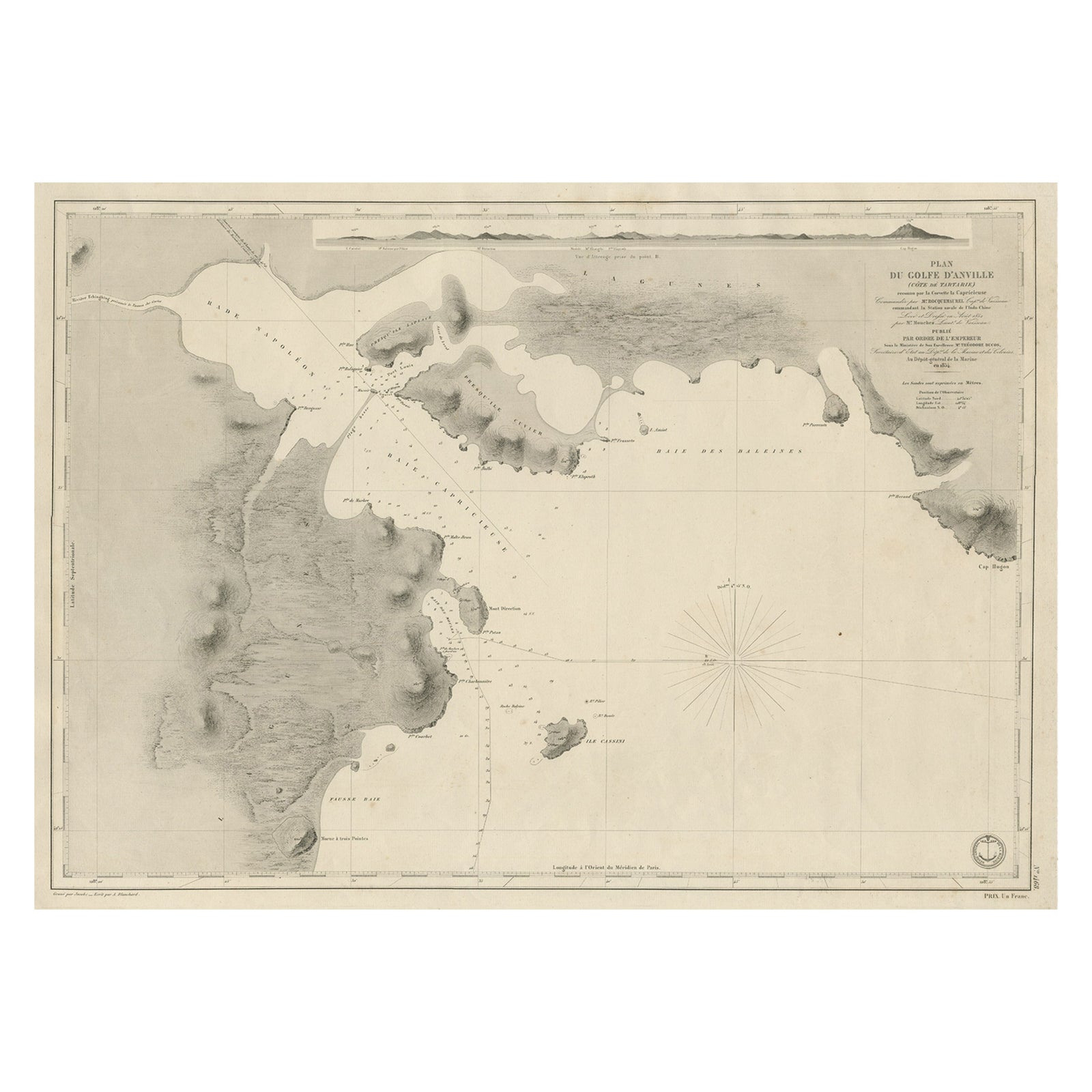
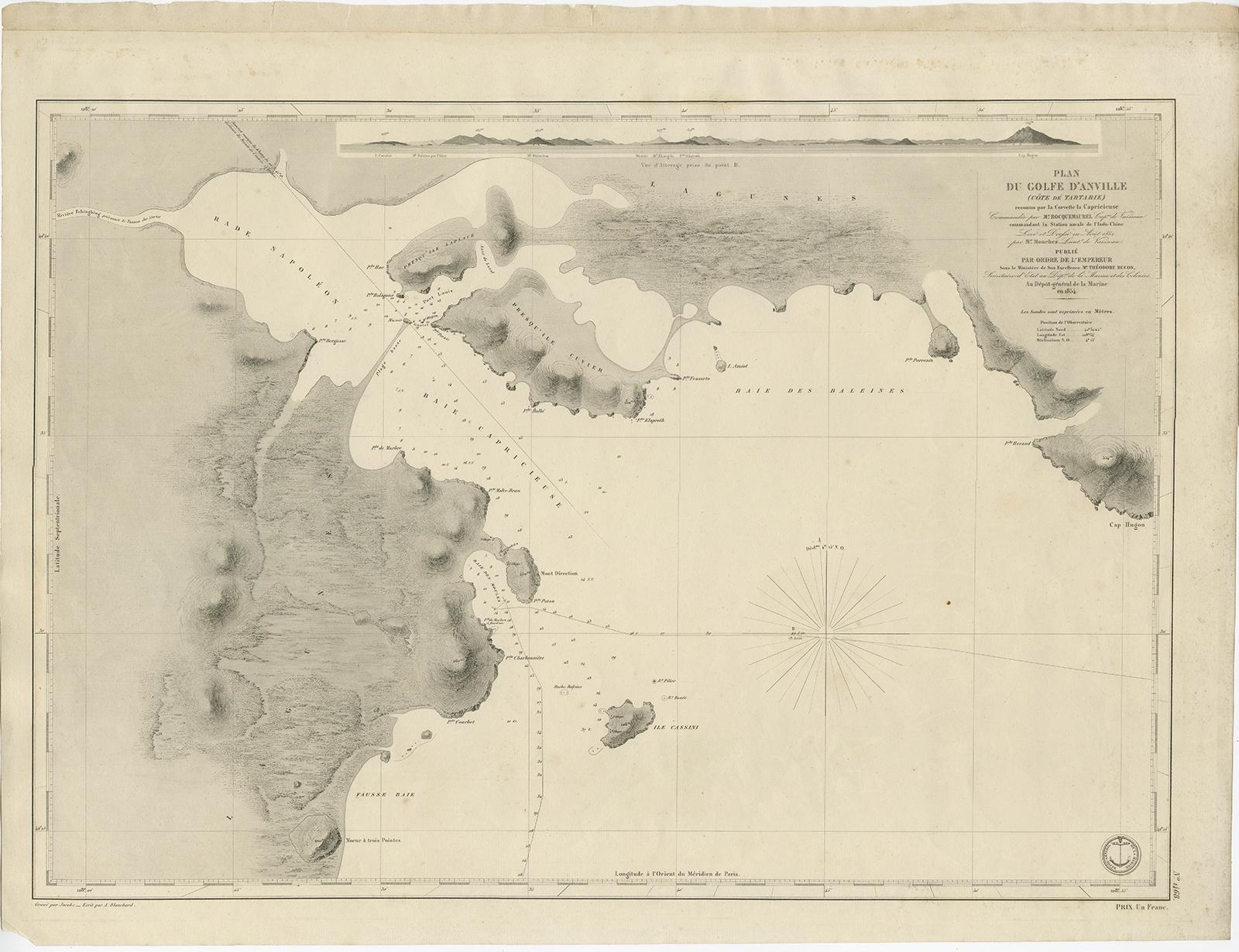
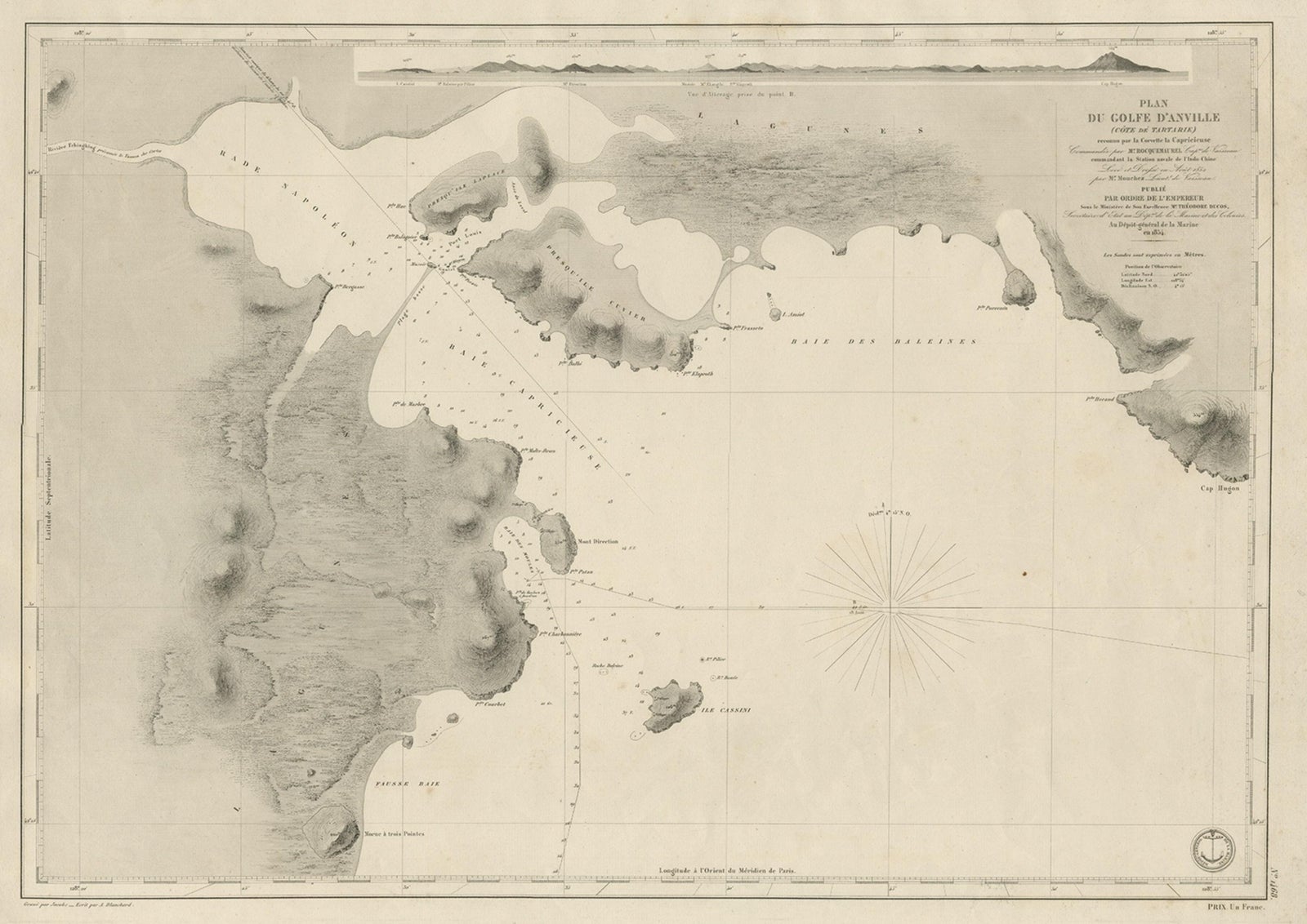
Antique Map of Part of the Chinese Coast, Explored by the French, Ca.1852
$950
€850 · £720
Original print, not a reproduction.
Ships worldwide from the Netherlands, flat, insured and tracked. 14-day returns. To buy, use Ask a question and we will reserve it for you.
- Date
- 1852
- Sheet size
- 20.1 × 26.4 in (51 × 67 cm)
- Condition
- Very good, general age-related toning. Minor wear, please study image carefully.
- Collection
- Sea charts
- Era
- 1850 and after, Steam and steel
- Stock no.
- f_26903972
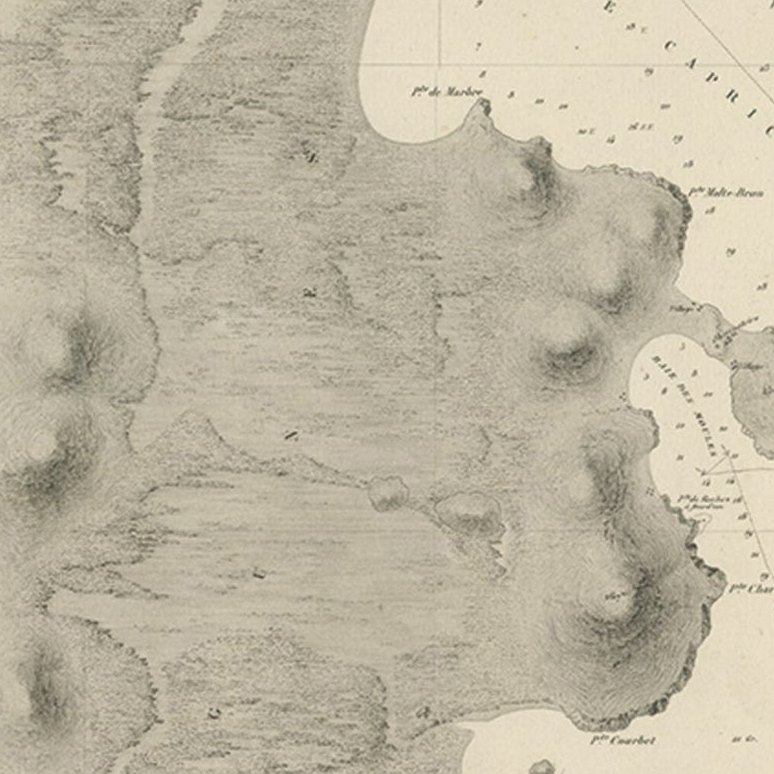
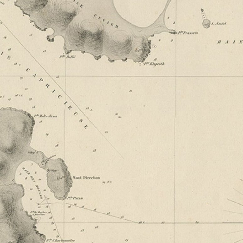
Antique map titled 'Plan du Golfe D'Anville (Côte de Tartarie)'.
Old map of part of the Chinese coast, explored with the French corvette 'Caprieuse'. The Capricieuse was a late 22-gun corvette of the French Navy. Capricieuse was commissioned under Arnault de Gorse on 1 September 1849. From 1850, she served in the Far East under Captain Rocquemaurel, returning to Toulon in 1854. She then took part in the Crimean War as a troopship. Capricieuse returned to China in 1856. In 1858, she took part in the Battle of Canton, being present at the capture of the city on 30 January and at the Battle of Taku Forts.
Artists and Engravers: Drawn by A. Blanchard, engraved by Jacobs.
Condition: Very good, general age-related toning. Minor wear, please study image carefully.
EXPLORE