Close-ups
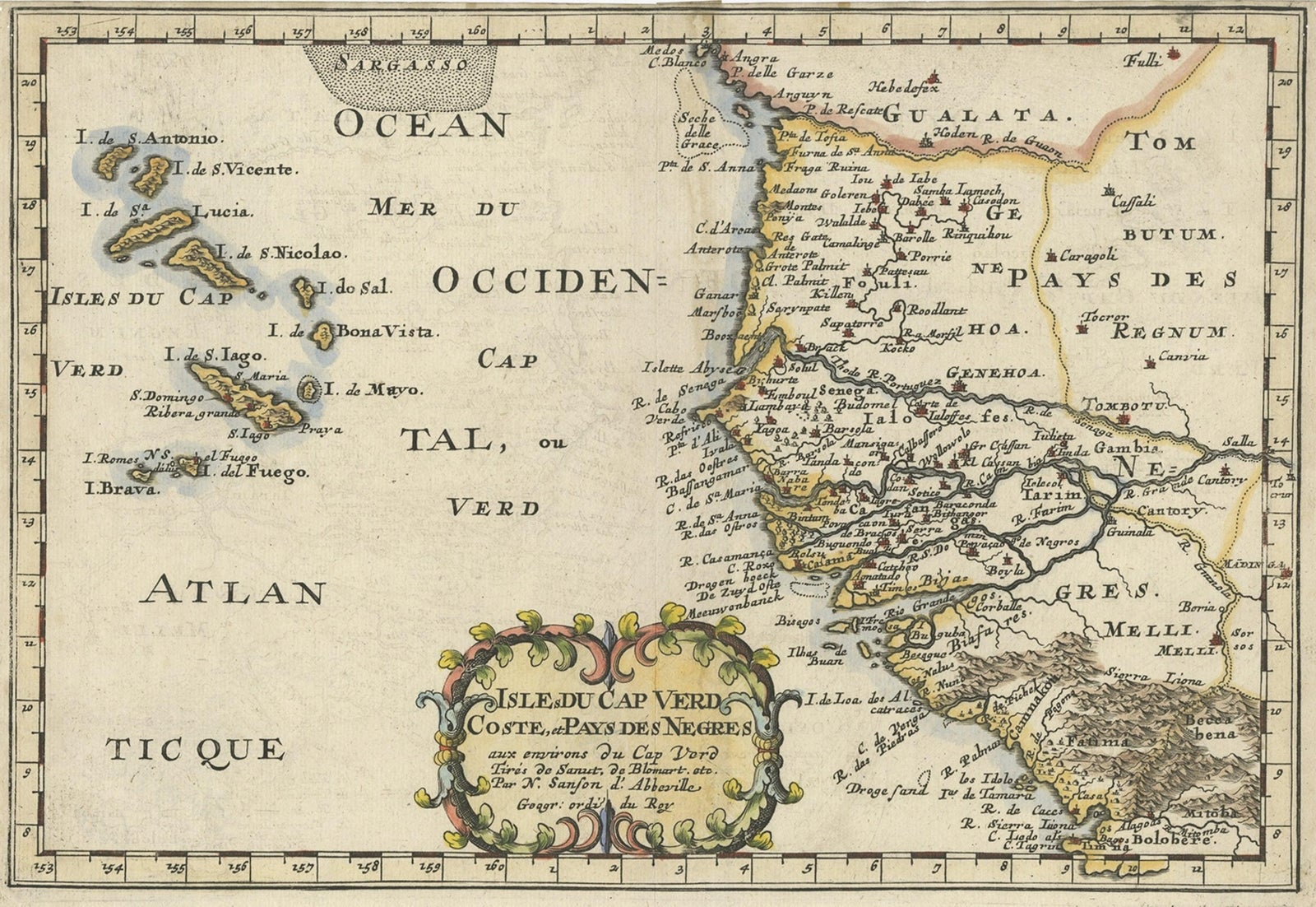
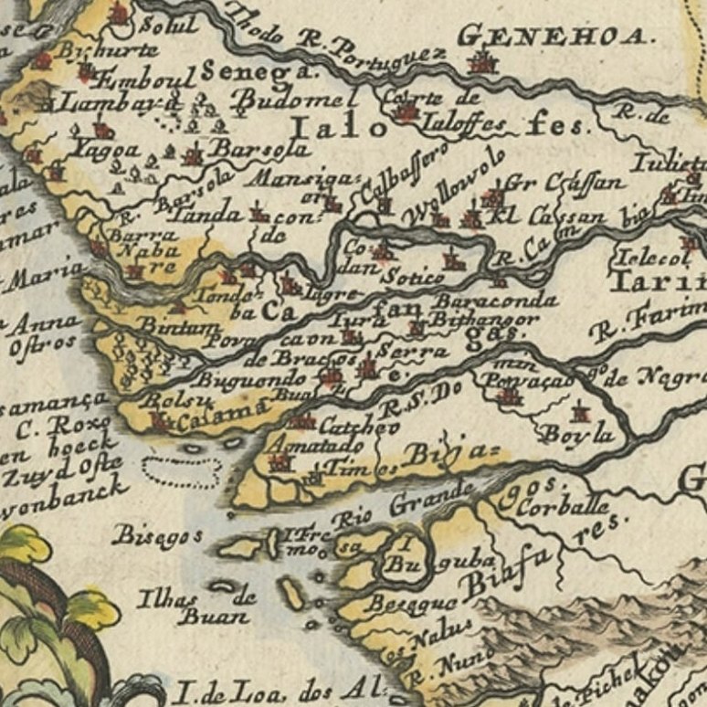
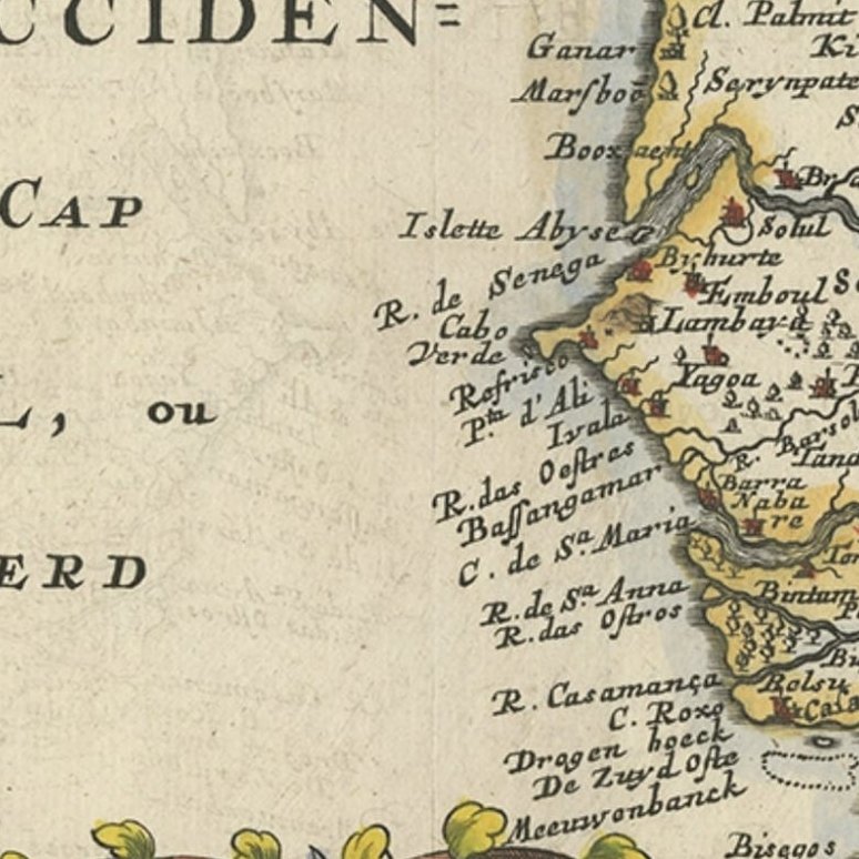
Framed and on the wall
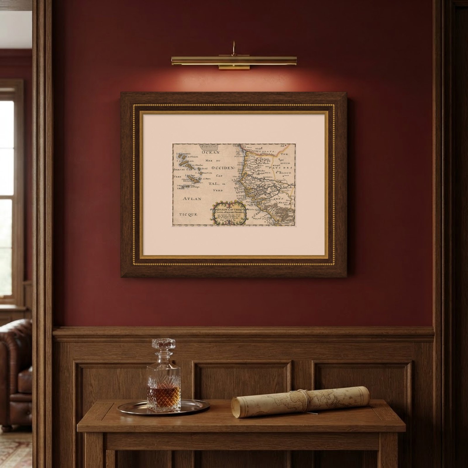

Frame and rooms are illustrations of how the piece could look; it is sold unframed unless the description says otherwise.
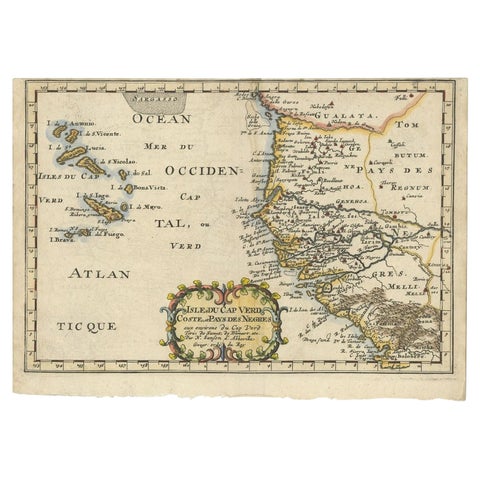
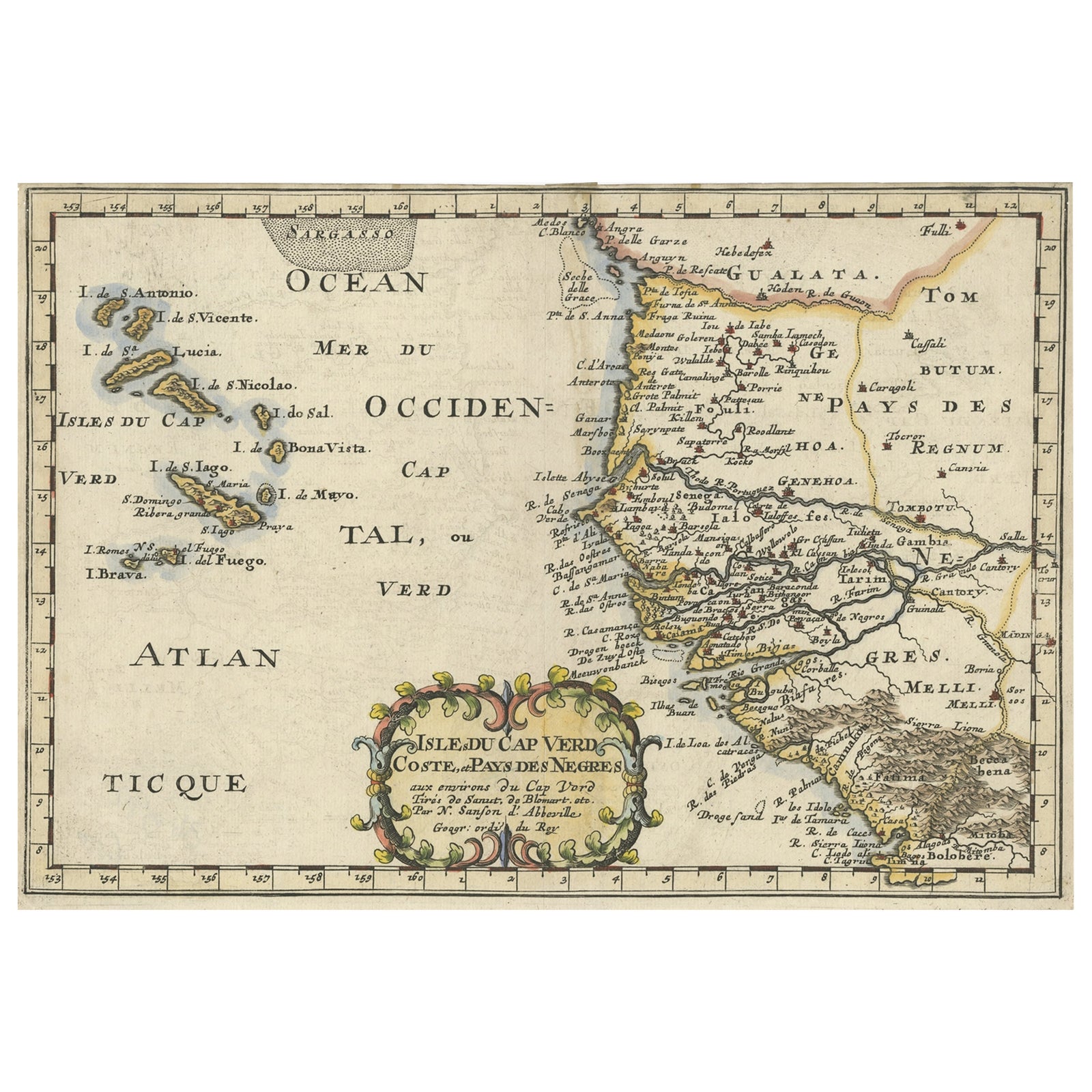
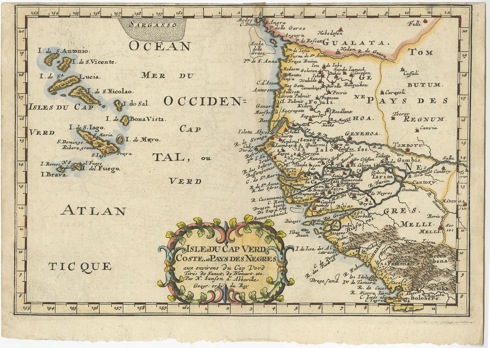
Antique Map of the Coast of Africa and the Cape Verde Islands, ca.1680
£295
$390 · €350
Original print, not a reproduction.
Ships worldwide from the Netherlands, flat, insured and tracked. 14-day returns. To buy, use Ask a question and we will reserve it for you.
- Date
- 1680
- Sheet size
- 8.3 × 11.8 in (21 × 30 cm)
- Condition
- Very good, but short on the margins. Please study image carefully.
- Collection
- Sea charts
- Era
- Before 1700, Dutch Golden Age
- Stock no.
- f_27195472
Antique map Africa titled 'Isles du Cap Verd Coste et Pays des Negres'.
Antique map of the coast of Africa and the Cape Verde islands.
Artists and Engravers: Nicholas Sanson d'Abbeville (1600, 1667) and his descendents were important French cartographer's active through the 17th century. Sanson started his career as a historian where, it is said, he turned to cartography as a way to illustrate his historical studies.
EXPLORE