Close-ups
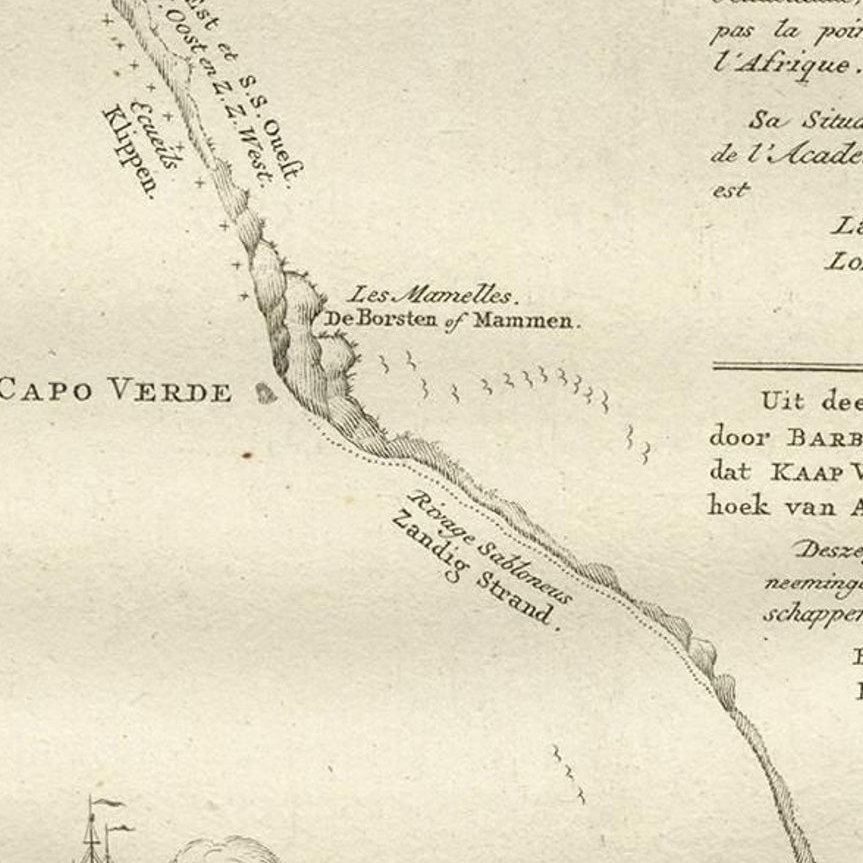
Framed and on the wall
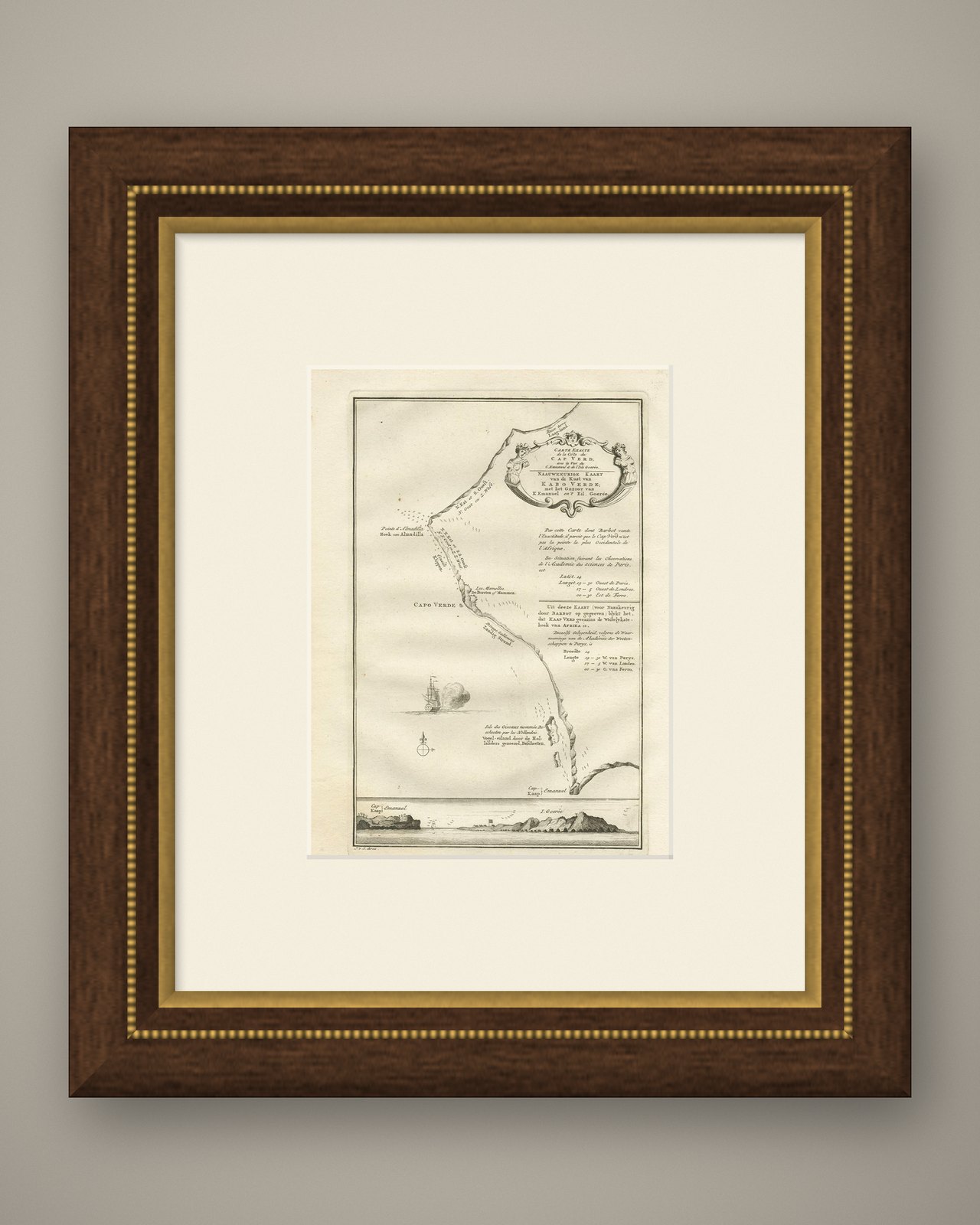


Frame and rooms are illustrations of how the piece could look; it is sold unframed unless the description says otherwise.
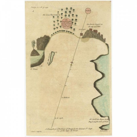
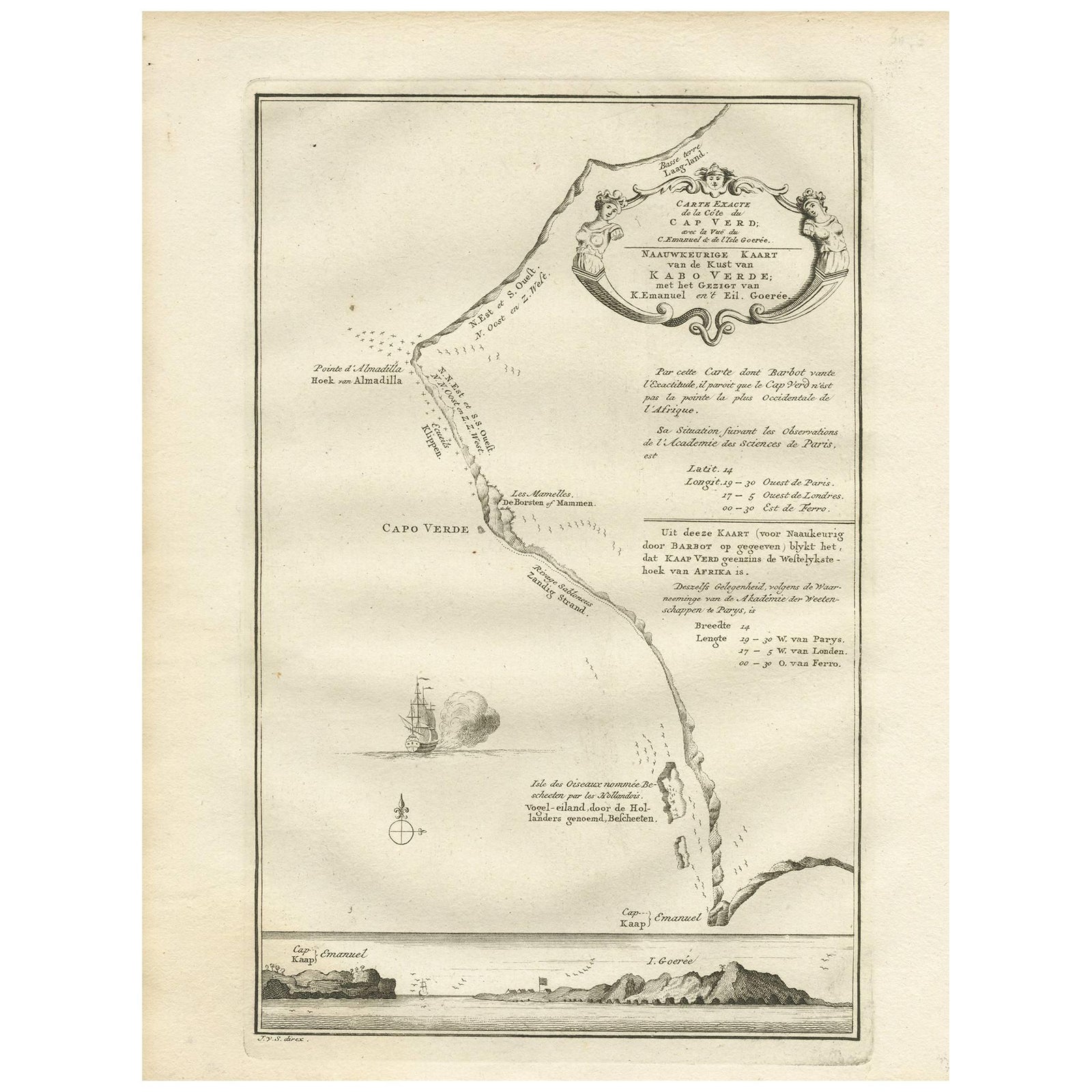
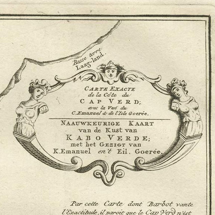
Antique Map of the Coast of Cape Verde by J. Van Der Schley, circa 1750
£135
$180 · €160
Original print, not a reproduction.
Ships worldwide from the Netherlands, flat, insured and tracked. 14-day returns. To buy, use Ask a question and we will reserve it for you.
- Date
- 1750
- Sheet size
- 9.8 × 7.5 in (25 × 19 cm)
- Condition
- Good. Please study image carefully.
- Collection
- Sea charts
- Era
- 1700 to 1789, Age of discovery
- Stock no.
- f_9520671
An early map of what is now the coast of the capital city of Dakar, Senegal. What is now a dense, bustling city was at this time a uninhabited coast. Shows the overall contours of this portion of the Cape Verde Peninsula and includes a coastal profile drawing below that also shows the neighbouring Island of Goree.
EXPLORE