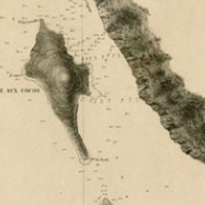
Close-ups
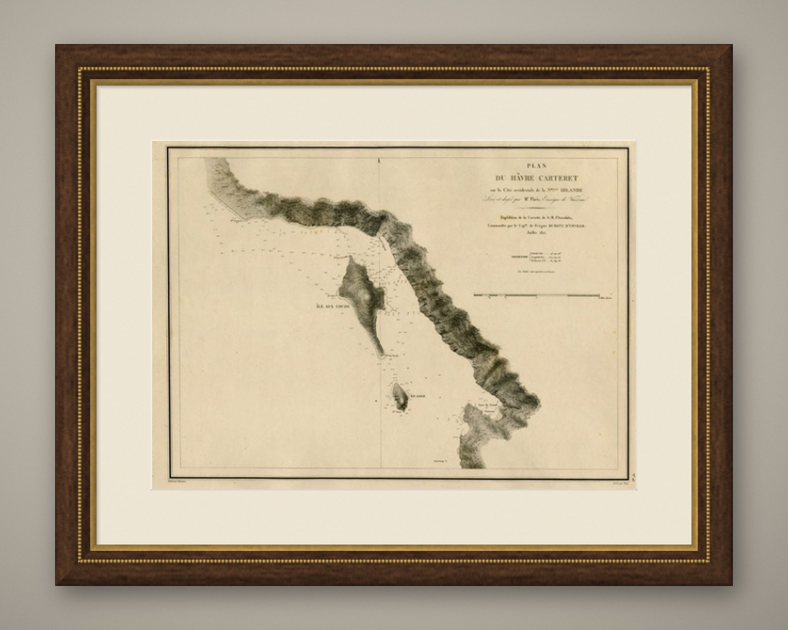
Framed and on the wall
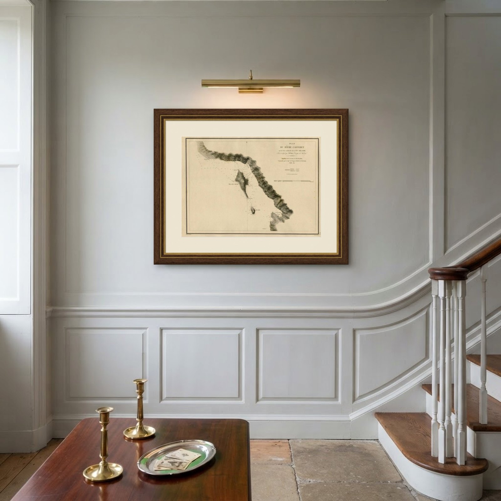
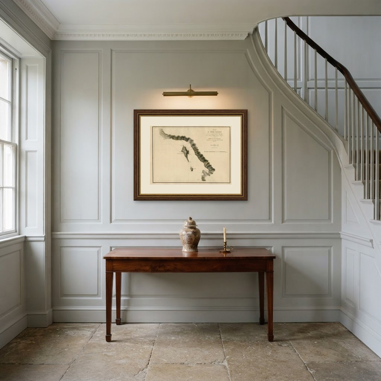
Frame and rooms are illustrations of how the piece could look; it is sold unframed unless the description says otherwise.
Antique Map of the Coast of New Ireland, Earlier Part of German New Guinea, 1833
€560
$625 · £475
Original print, not a reproduction.
Ships worldwide from the Netherlands, flat, insured and tracked. 14-day returns. To buy, use Ask a question and we will reserve it for you.
- Date
- 1833
- Sheet size
- 18.9 × 25.4 in (47.9 × 64.6 cm)
- Condition
- Very good, given age. A small stain in the center of the image. A few faint small stains in the far right of the image. Margins a little stained. A few small tears in the right margin (not affecting image). General age-related toning.
- Collection
- Voyages of discovery
- Era
- 1790 to 1849, Age of sail
- Stock no.
- f_27795132
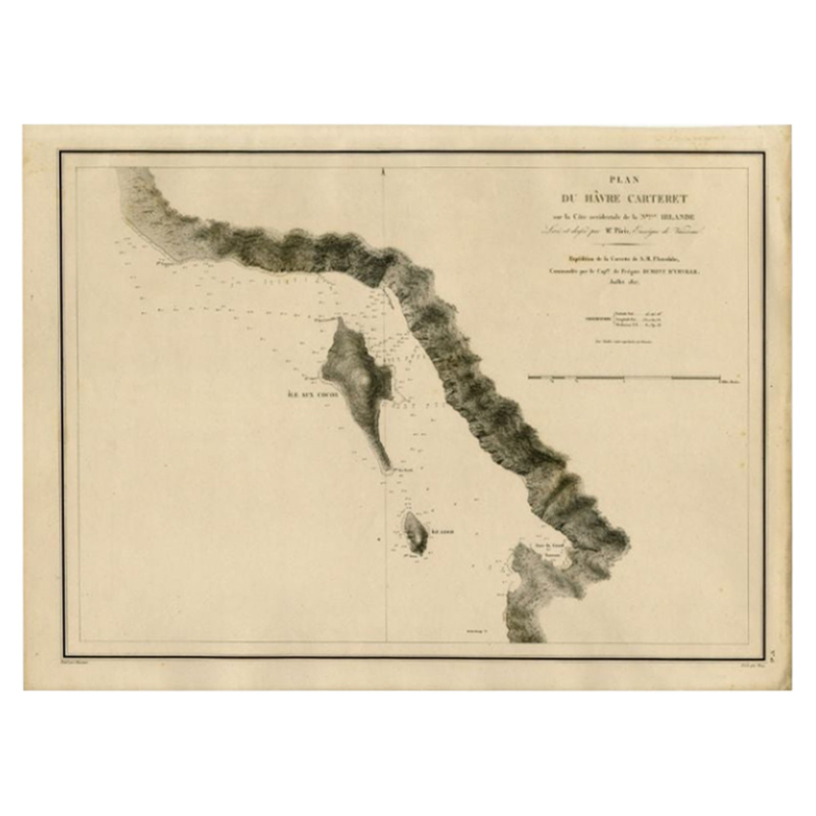
Antique map titled 'Plan du Havre Carteret sur la Cote occidentale de la Nelle Irlande.
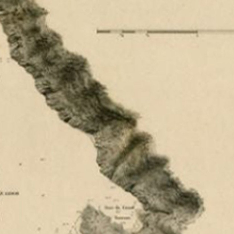
Expedition de la Corvette de S.M. l'Astrolabe, Commandee par le CAP ne de Fregate Dumont D'Urville. Juillet 1827.' A chart of the coast of Latangai Island (then known as New Ireland), with Lamassa Island (identified as Ile Cocos), and a second island identified as Ile Leigh. Shows soundings and height profile. New Ireland, also New Mecklenburg, is the Northeastern Province of Papua New Guinea. Map no. 26 from Dumont D'Urville's "Voyage de la Corvette l'Astrolabe, Atlas"", published in Paris: J. Tastu, 1833.
New Ireland or Latangai, is a large island in Papua New Guinea, approximately 7,404 km2 (2,859 sq mi) in area with c. 120,000 people. It is named after the island of Ireland. It is the largest island of New Ireland Province, lying northeast of the island of New Britain. Both islands are part of the Bismarck Archipelago, named after Otto von Bismarck, and they are separated by Saint George's Channel. The administrative centre of the island and of New Ireland province is the town of Kavieng located at the northern end of the island. While the island was part of German New Guinea, it was named Neumecklenburg ("New Mecklenburg").
Artists and Engravers: Made by 'Chassant' after 'Mr. Paris'.
Condition: Very good, given age. A small stain in the center of the image. A few faint small stains in the far right of the image. Margins a little stained. A few small tears in the right margin (not affecting image). General age-related toning and/or occasional minor defects from handling. Please study image carefully.
Date: 1833
Overall size: 64.6 x 47.9 cm.
Image size: 59.3 x 43.1 cm.
We sell original antique maps to collectors, historians, educators and interior decorators all over the world. Our collection includes a wide range of authentic antique maps from the 16th to the 20th centuries. Buying and collecting antique maps is a tradition that goes back hundreds of years. Antique maps have proved a richly rewarding investment over the past decade, thanks to a growing appreciation of their unique historical appeal. Today the decorative qualities of antique maps are widely recognized by interior designers who appreciate their beauty and design flexibility. Depending on the individual map, presentation, and context, a rare or antique map can be modern, traditional, abstract, figurative, serious or whimsical. We offer a wide range of authentic antique maps for any budget.
EXPLORE