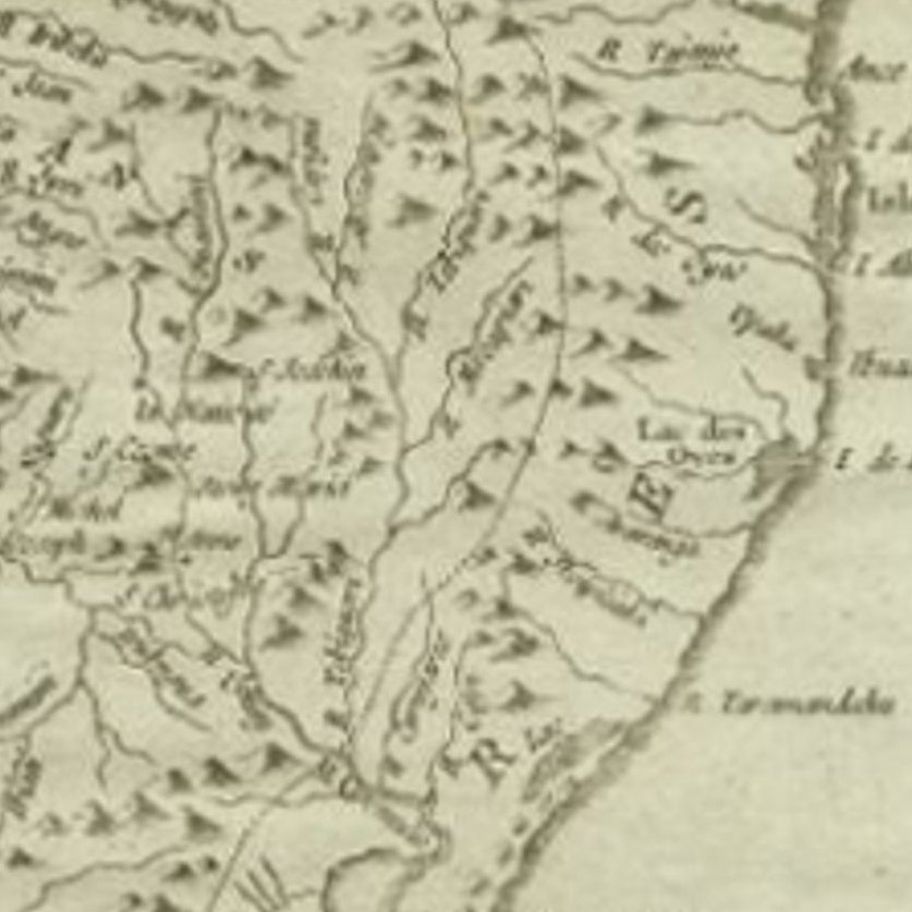
Close-ups
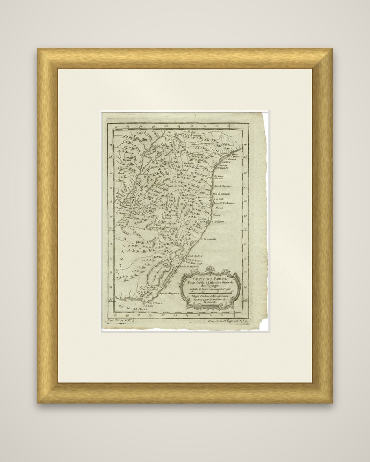
Framed and on the wall
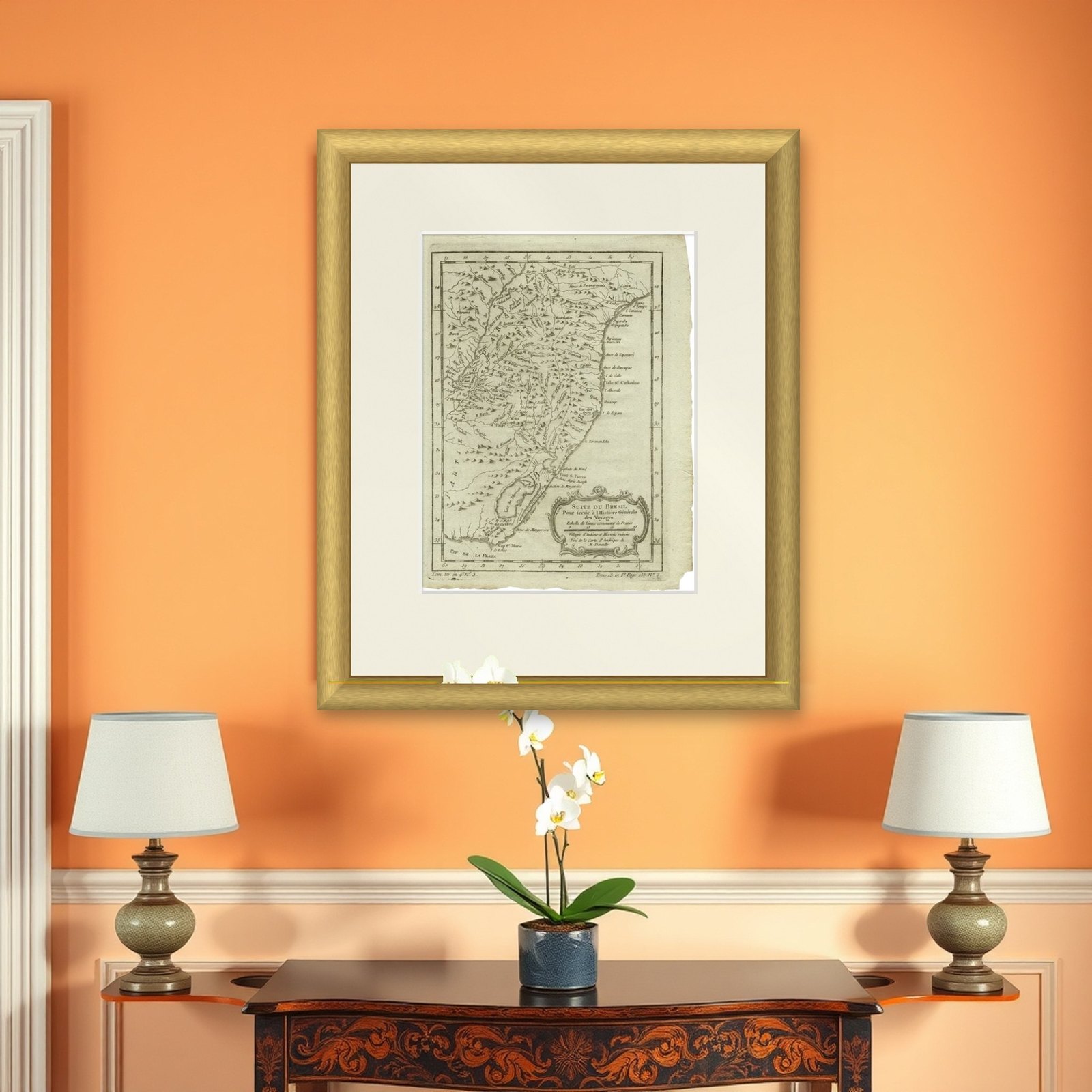

Frame and rooms are illustrations of how the piece could look; it is sold unframed unless the description says otherwise.
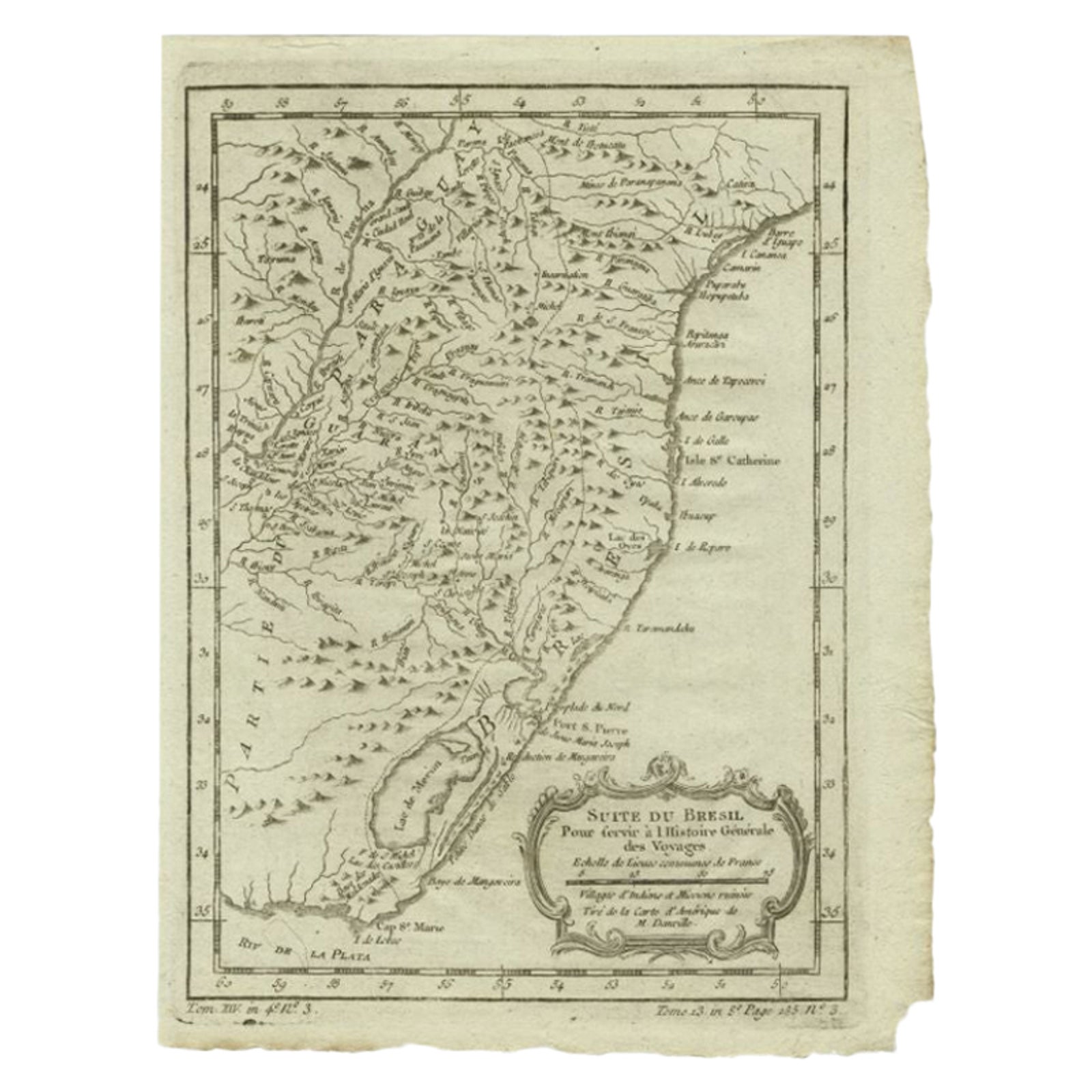
Antique Map of the Coast of Southern Brazil by Bellin, c.1755
$110
€98 · £85
Original print, not a reproduction.
Ships worldwide from the Netherlands, flat, insured and tracked. 14-day returns. To buy, use Ask a question and we will reserve it for you.
- Date
- 1755
- Sheet size
- 10.2 × 7.9 in (26 × 20 cm)
- Condition
- Good
- Collection
- Sea charts
- Era
- 1700 to 1789, Age of discovery
- Stock no.
- f_27795422
The coast of southern Brazil, titled "Suite du Brésil, pour servir à l'Histoire générale des Voyages", an original copper engraving by Jacques-Nicolas Bellin, published around 1755. It is a plate of the Abbé Prévost's Histoire générale des voyages, and carries volume and plate numbers at the lower corners.
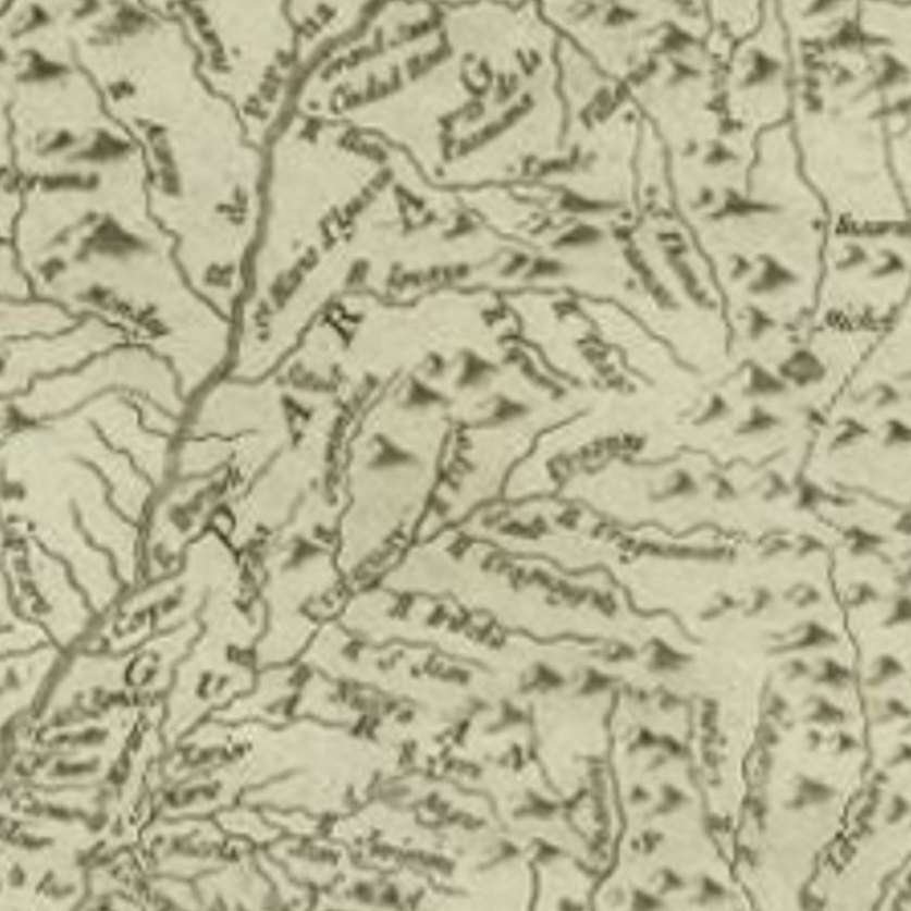
The map shows the Atlantic coast from the area of the Île Sainte-Catherine south to the Río de la Plata, with Cabo Santa Maria and the broad Lagoa Mirim (the "Lac de Merim") near the coast, and a long run of mountains drawn in hachures through the interior. The land at the left is labeled as part of Paraguay, which is how the country now called Uruguay was shown. The title is set in a rococo cartouche at the lower right, with a scale in leagues and a note that it was drawn after the American map of M. d'Anville and shows villages of Indians and united missions.
Bellin was the French navy's hydrographer, and his maps in the Histoire générale were widely copied in the middle of the eighteenth century.