Antique Map of the Pacific Ocean by Anson, 1765
€985
$1,100 · £835
Original print, not a reproduction.
Ships worldwide from the Netherlands, flat, insured and tracked. 14-day returns.
- Date
- 1765
- Sheet size
- 14 × 35.4 in (35.5 × 90 cm)
- Condition
- Good. Repaired: Two small restorations on the folds. Lower left margin partly remargined. Good, given age. A few brown stains upper right. Edges with some tiny and small tears. Original folds as issued. Printed on 2 plates joined together. General age-related toning.
- Collection
- Voyages of discovery
- Era
- 1700 to 1789, Age of discovery
- Stock no.
- f_27872172
What the condition grades mean
- Excellent
- Bright and clean, with no faults worth mentioning.
- Very good
- Only light signs of age, such as faint toning.
- Good
- Normal signs of age for a sheet of this period: toning, some foxing, small marks or neat old repairs.
- Fair
- Clear faults such as staining, tears or repairs, priced to match.
Every fault we see is written in the condition note, and the whole sheet is shown uncropped in the photos.
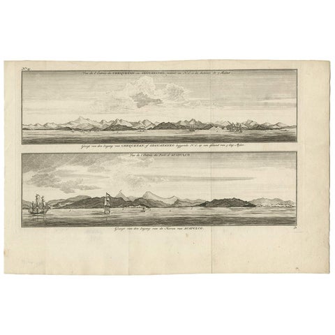
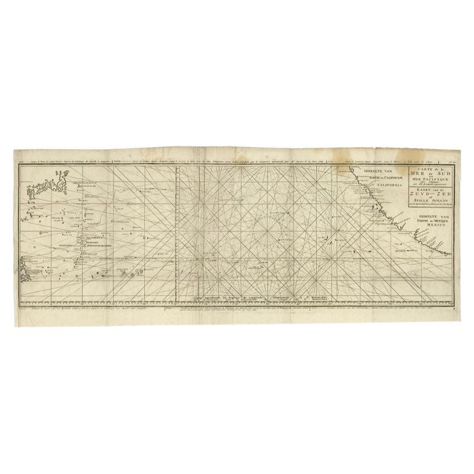
Antique map titled 'Carte de la Mer du Sud ou Mer Pacifique, Kaart van de Zuyd-Zee of stille oceaan (..)'. Nautical chart of the Pacific Ocean depicting the trade routes used by Spanish Galleons from Acapulco in Mexico to Manila in the Philippines. In particular this chart depicts the voyages of the Spanish Nostra Seigniora de Cabadonga and the British Navy Commodore George Anson. Anson succeed in capturing the Spanish treasure galleon off Cape Espiritu Santo on June 20, 1743. Following his capture of the Nostra the treasures were paraded through the streets of London. The map shows the pacific islands and much of the Mexican and California coast. Numerous important destinations along the California coast are named,including Cabo San Lucas, San Diego and Acapulco. This map originates from 'Reize rondsom de Werreld (..) door den heere George Anson'.
Artists and Engravers: George Anson, Baron Anson, British admiral whose four-year voyage around the world is one of the great tales of naval heroism.
We sell original antique maps to collectors, historians, educators and interior decorators all over the world. Our collection includes a wide range of authentic antique maps from the 16th to the 20th centuries. Buying and collecting antique maps is a tradition that goes back hundreds of years. Antique maps have proved a richly rewarding investment over the past decade, thanks to a growing appreciation of their unique historical appeal. Today the decorative qualities of antique maps are widely recognized by interior designers who appreciate their beauty and design flexibility. Depending on the individual map, presentation, and context, a rare or antique map can be modern, traditional, abstract, figurative, serious or whimsical. We offer a wide range of authentic antique maps for any budget.