Close-ups
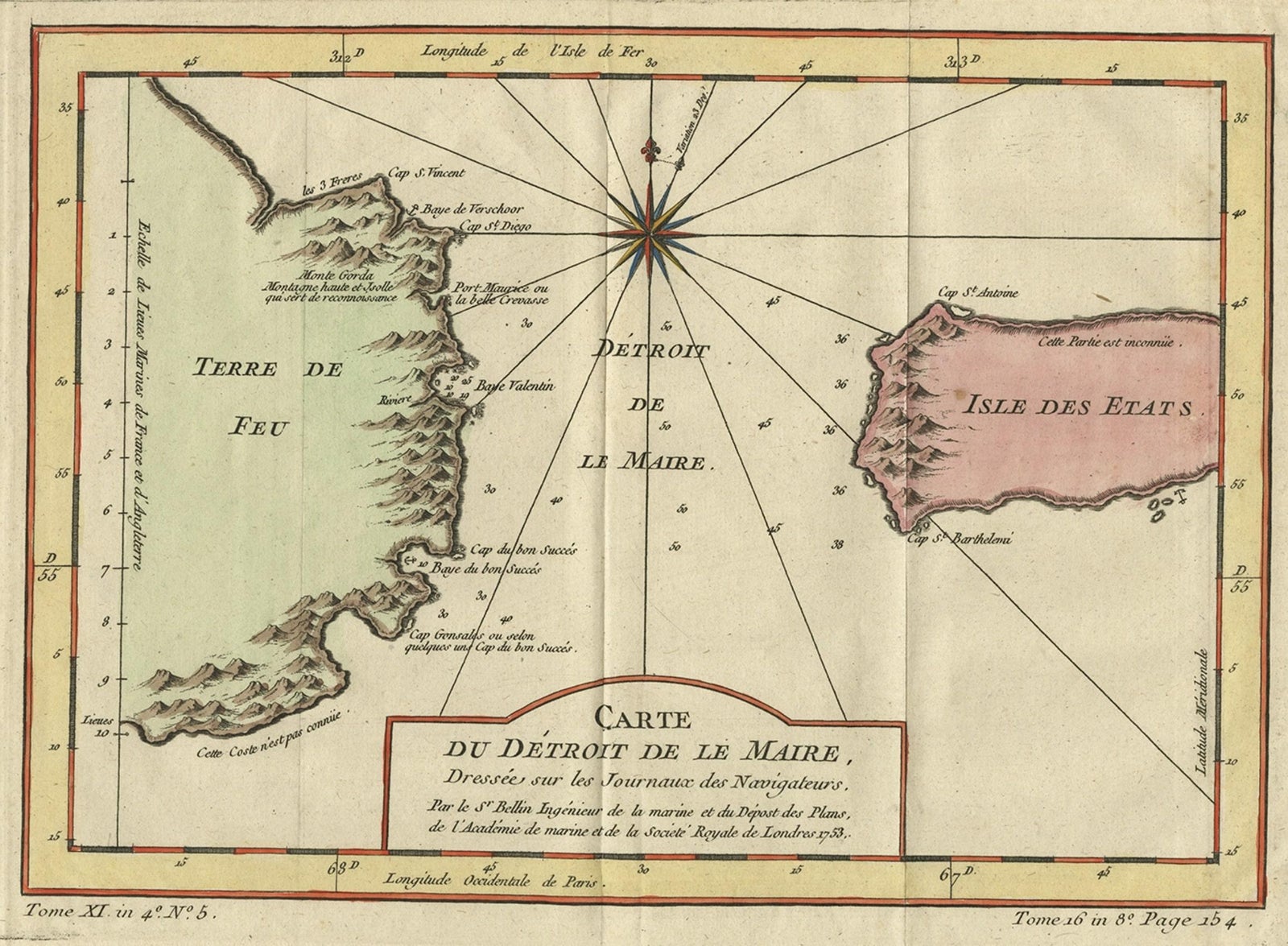
Antique Map of the Passage Between the Atlantic and Pacific Oceans, circa 1753
£195
$255 · €230
Original print, not a reproduction.
Ships worldwide from the Netherlands, flat, insured and tracked. 14-day returns.
- Date
- 1753
- Sheet size
- 9.6 × 12.8 in (24.4 × 32.5 cm)
- Condition
- Good. Given age. Some foxing, mainly in the margins. Edges slightly browned. Original folds as issued. General age-related toning and/or occasional minor defects from handling. Please study scan carefully.
- Collection
- Voyages of discovery
- Era
- 1700 to 1789, Age of discovery
- Stock no.
- f_29641892
What the condition grades mean
- Excellent
- Bright and clean, with no faults worth mentioning.
- Very good
- Only light signs of age, such as faint toning.
- Good
- Normal signs of age for a sheet of this period: toning, some foxing, small marks or neat old repairs.
- Fair
- Clear faults such as staining, tears or repairs, priced to match.
Every fault we see is written in the condition note, and the whole sheet is shown uncropped in the photos.
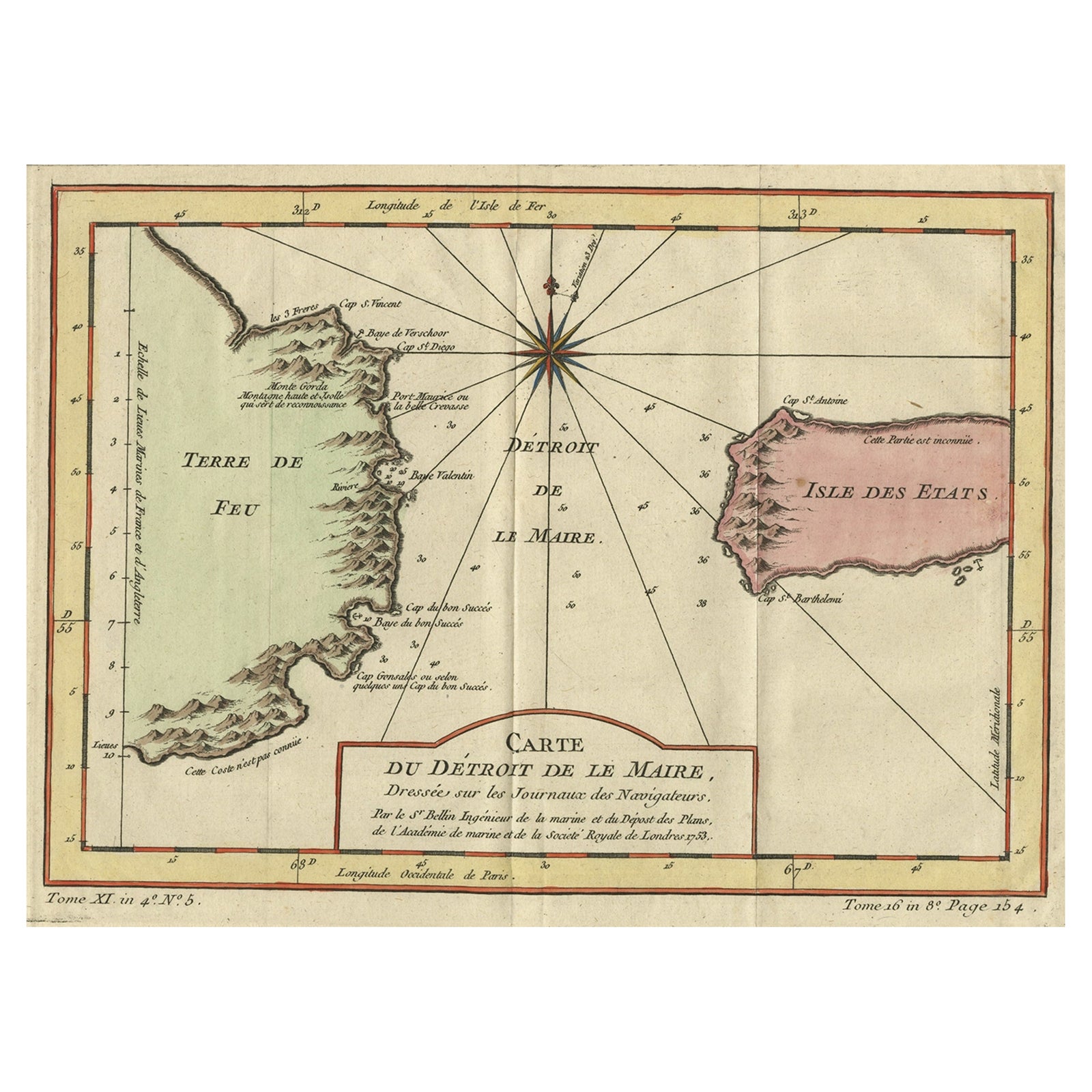
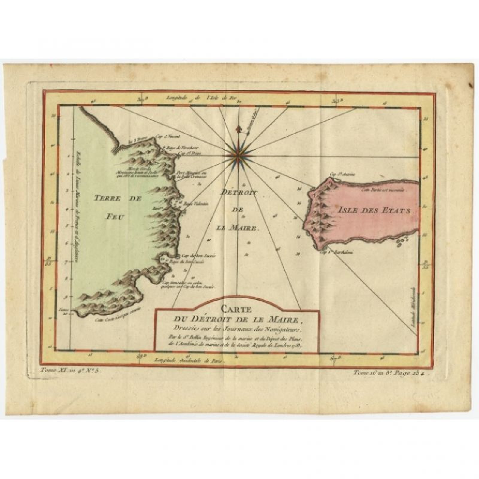
Antique print, titled: 'Carte du Detroit de le Maire (…)', This chart illustrates the important passage between the Atlantic and Pacific oceans. Jacob Le Maire and Willem Schouten discovered the strait in 1616, which was a much less treacherous route than the Strait of Magellan, and opening up a new trade route for the Dutch. The map is adorned with a fine compass rose.Source unknown, to be determined.
Artists and Engravers: Made by 'Nicolas Bellin' after an anonymous artist. Jacques Nicolas Bellin (1703, 1772) was a French hydrographer, geographer, and member of the French intellectual group called the philosophes. Bellin was born in Paris. He was hydrographer of France's hydrographic office, member of the Academie de Marine and of the Royal Society of London. Over a 50 year career, he produced a large number of maps of particular interest to the Ministere de la Marine.
Condition: Good, given age. Some foxing, mainly in the margins. Edges slightly browned. Original folds as issued. General age-related toning and/or occasional minor defects from handling. Please study scan carefully.
Date: c.1753
Overall size: 32.5 x 24.4 cm.
Image size: 27.5 x 19.4 cm.
We sell original antique maps to collectors, historians, educators and interior decorators all over the world. Our collection includes a wide range of authentic antique maps from the 16th to the 20th centuries. Buying and collecting antique maps is a tradition that goes back hundreds of years. Antique maps have proved a richly rewarding investment over the past decade, thanks to a growing appreciation of their unique historical appeal. Today the decorative qualities of antique maps are widely recognized by interior designers who appreciate their beauty and design flexibility. Depending on the individual map, presentation, and context, a rare or antique map can be modern, traditional, abstract, figurative, serious or whimsical. We offer a wide range of authentic antique maps for any budget.
EXPLORE