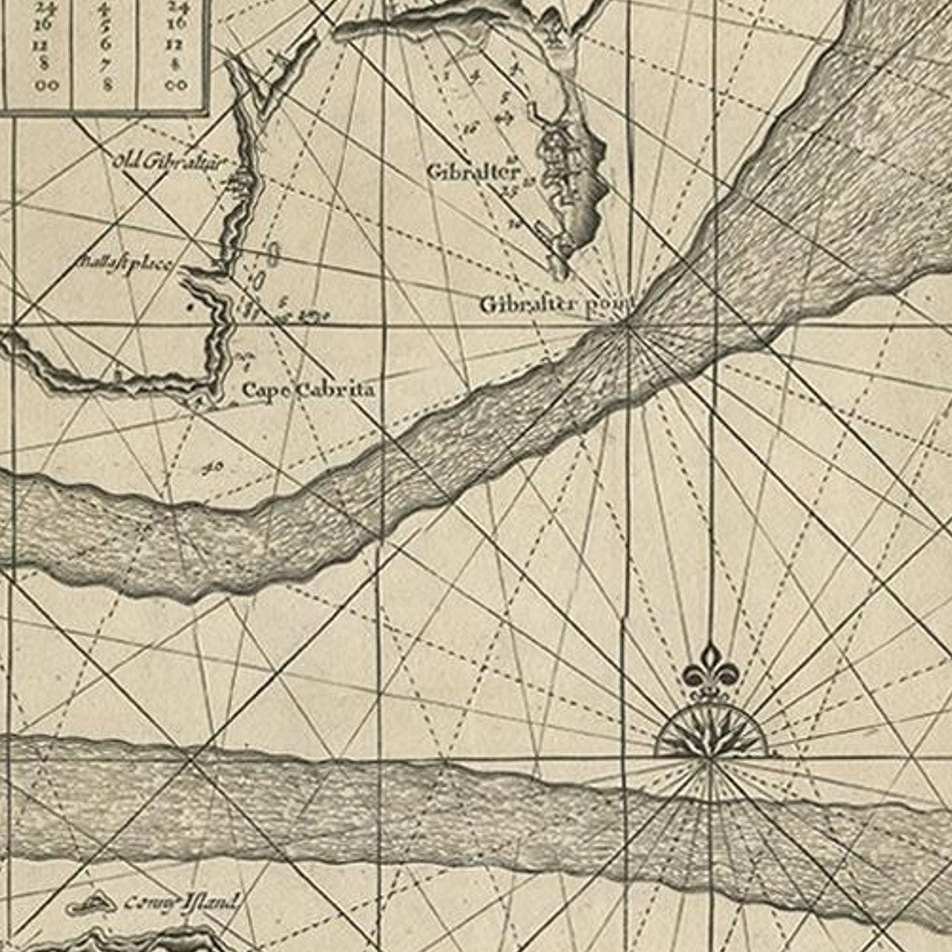
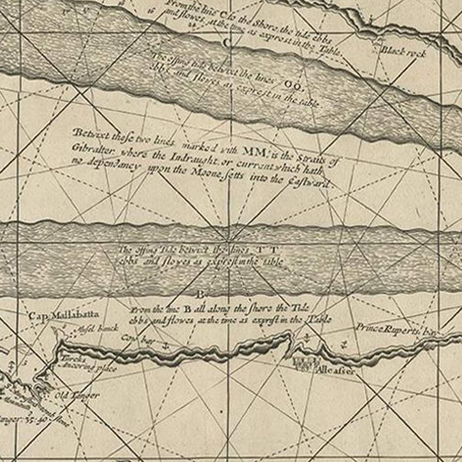
Close-ups
Framed and on the wall
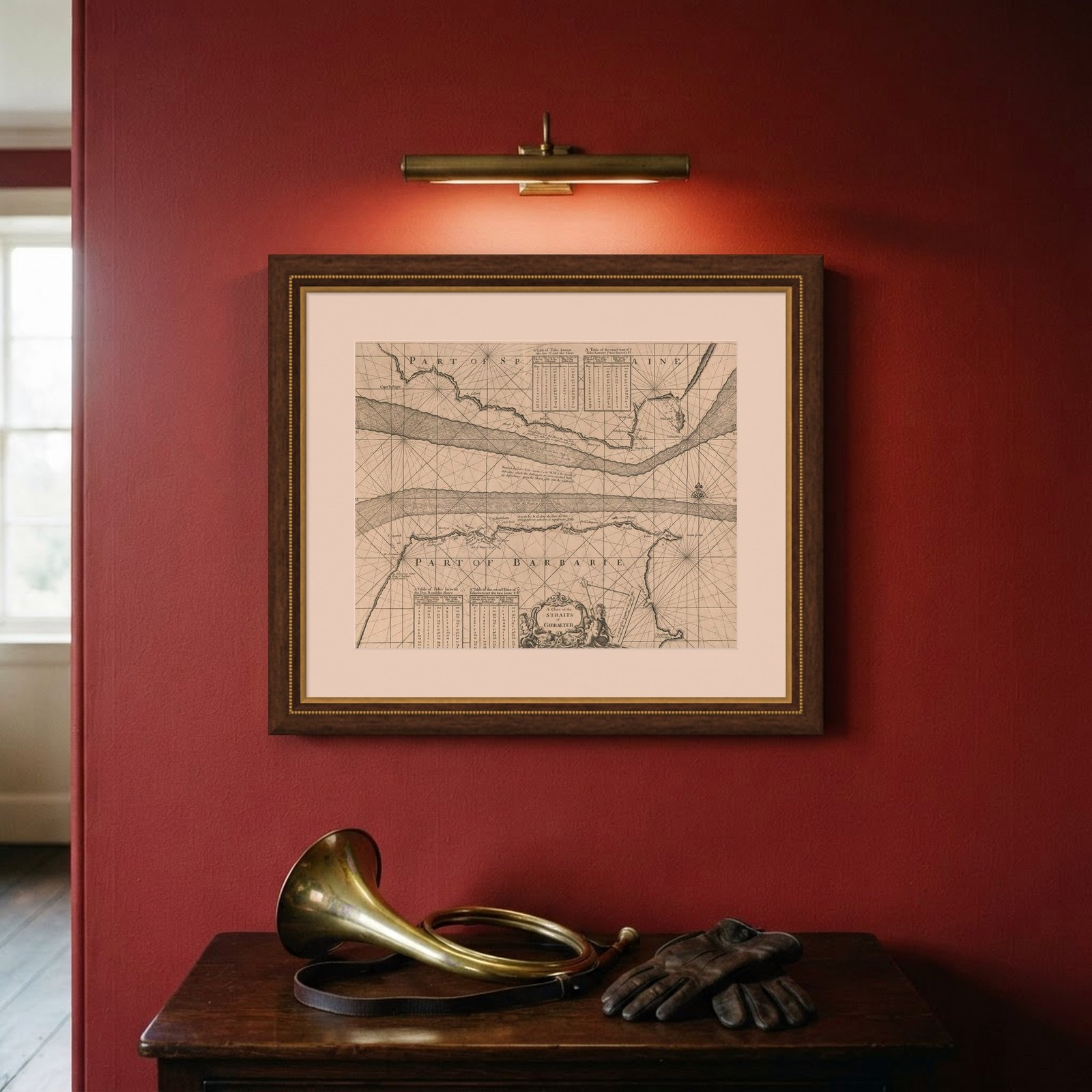
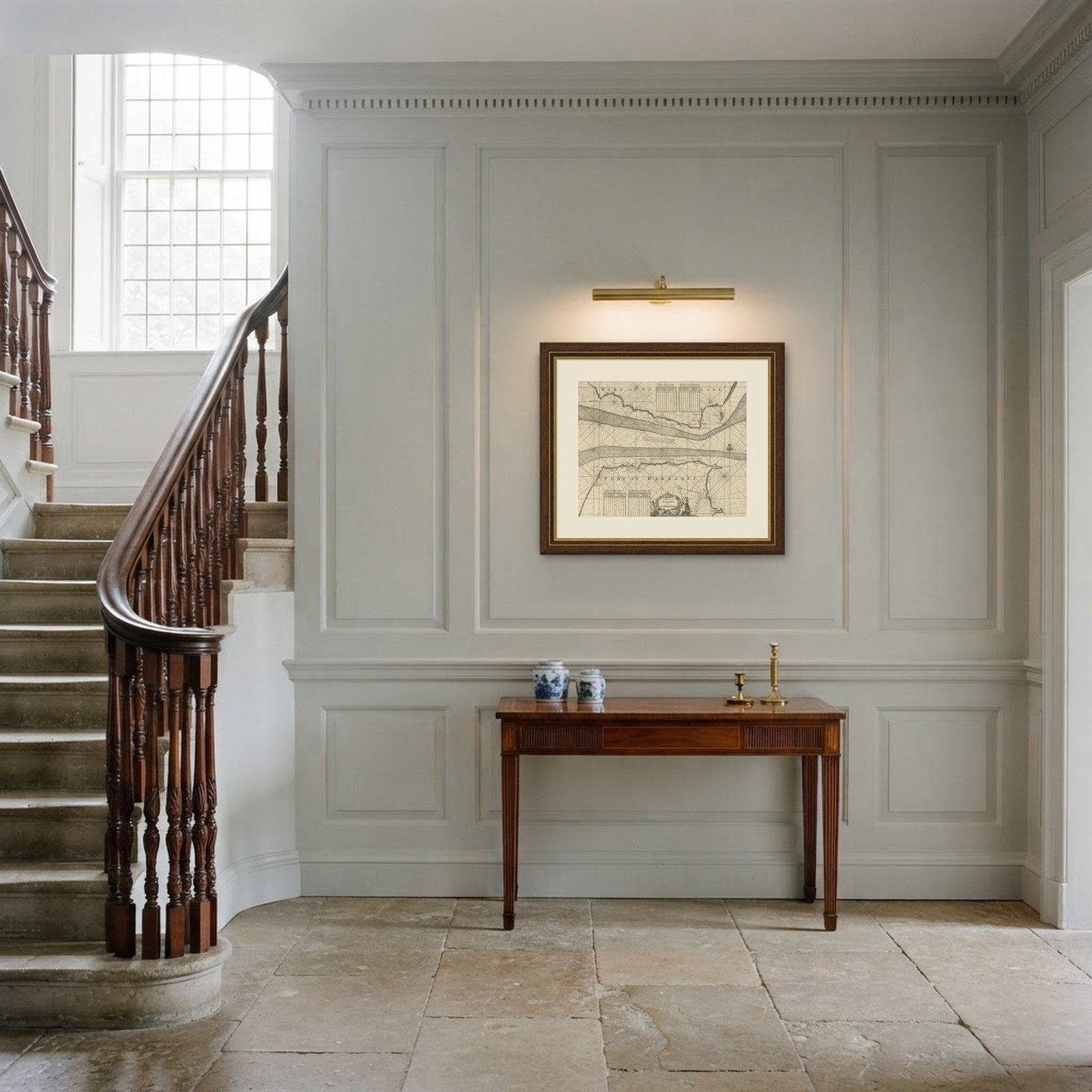
Frame and rooms are illustrations of how the piece could look; it is sold unframed unless the description says otherwise.
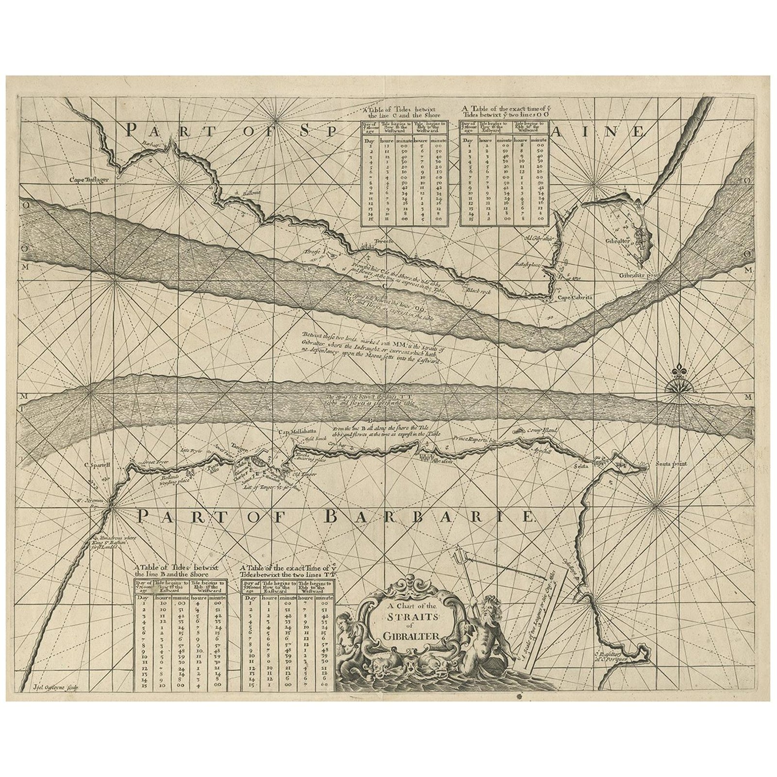
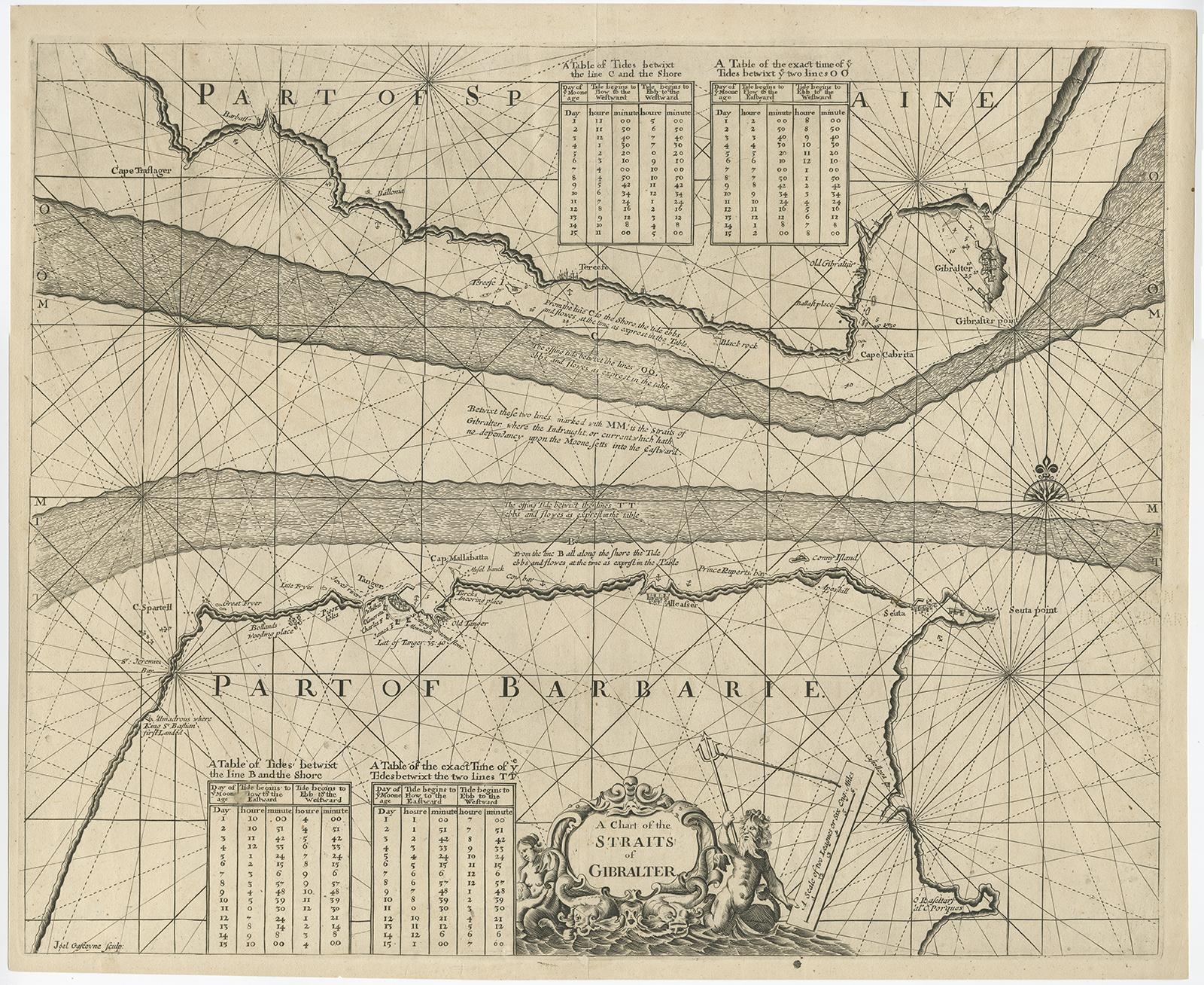
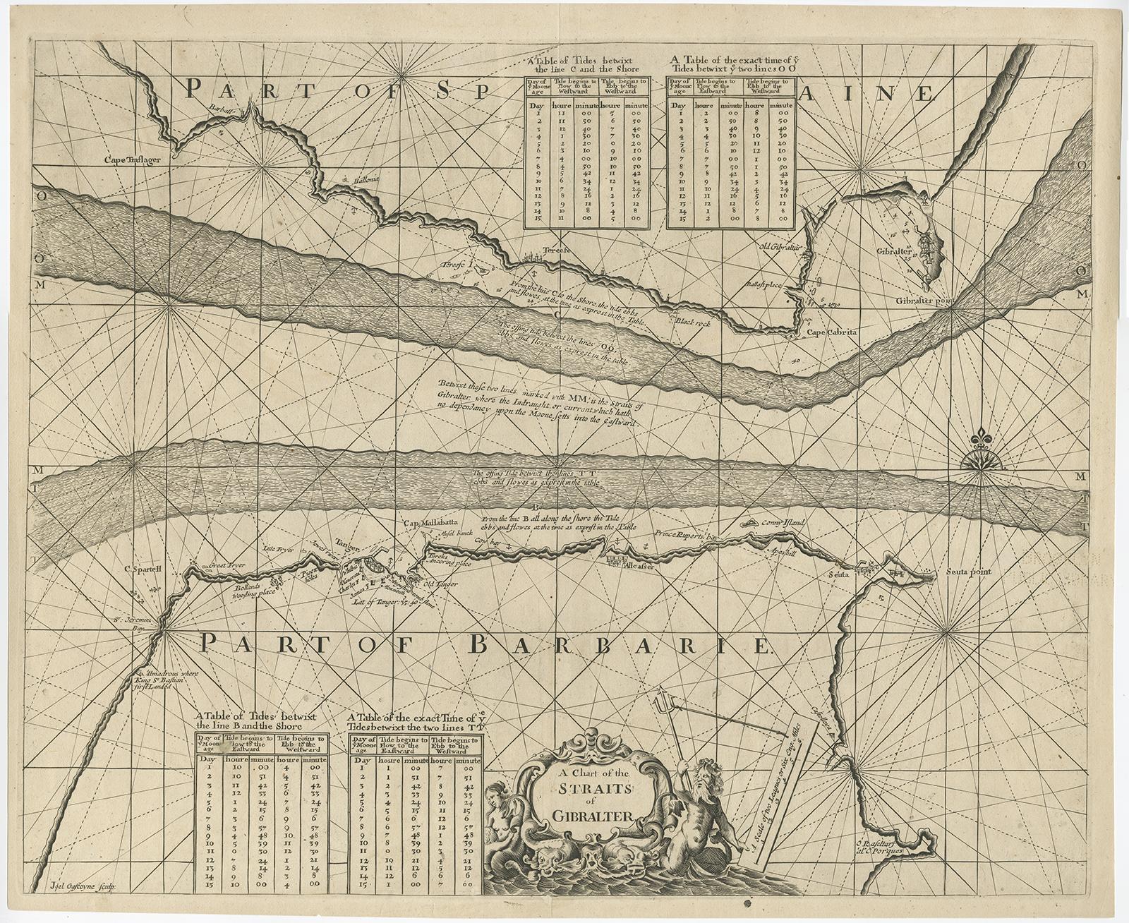
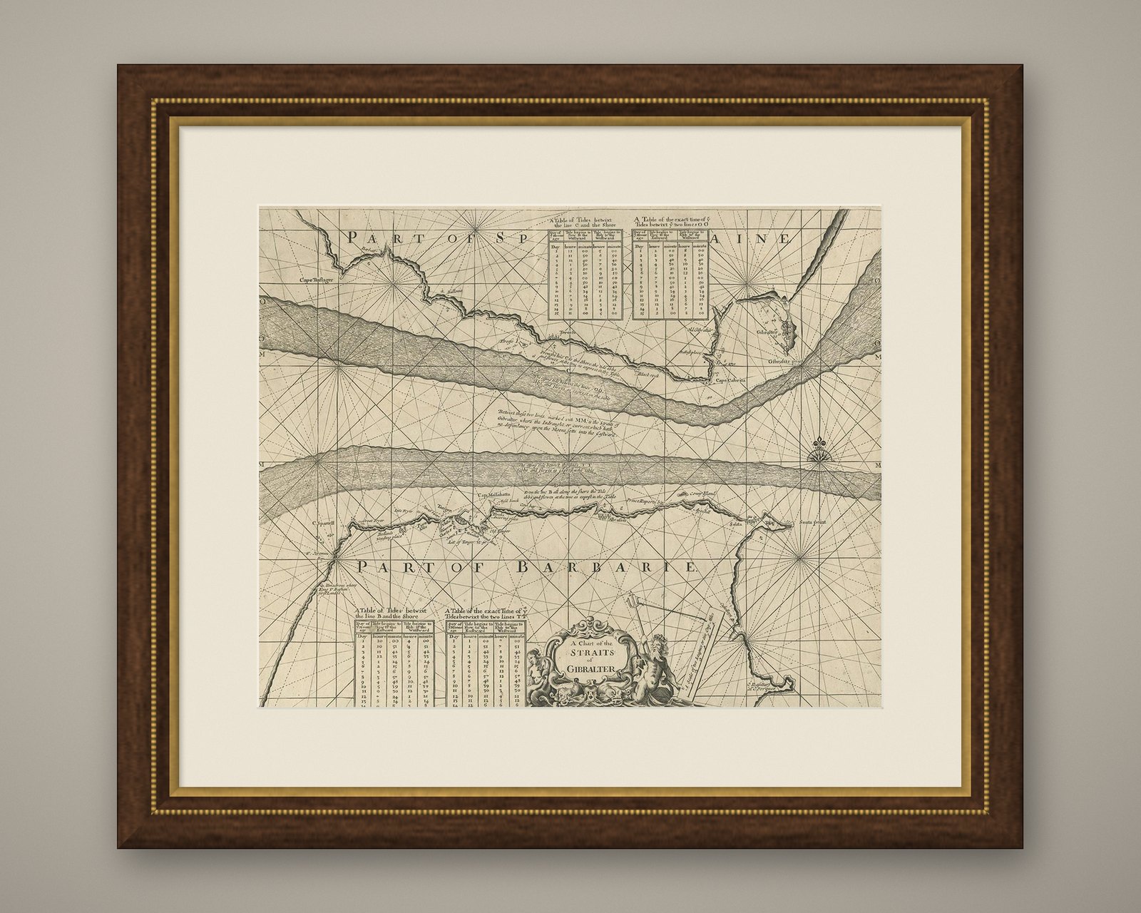
Antique Map of the Straits of Gibraltar by J. Gascoyne, circa 1716
$530
€475 · £400
Original print, not a reproduction.
Ships worldwide from the Netherlands, flat, insured and tracked. 14-day returns. To buy, use Ask a question and we will reserve it for you.
- Date
- 1716
- Sheet size
- 17.9 × 21.7 in (45.5 × 55 cm)
- Condition
- Good. Repaired: Repairs at the folding line and right edge, otherwise in good condition, considering age. Repairs at the folding line and right edge, otherwise in good condition, considering age. Please study image carefully.
- Collection
- Sea charts
- Era
- 1700 to 1789, Age of discovery
- Stock no.
- f_11522861
Antique map titled 'A Chart of the Straits of Gibraltar'. This chart shows the tides running through the Straits of Gibraltar, between southern Spain and northern Africa. Tide tables appear at top and bottom. Originates from 'The English Pilot' by J. Gascoyne.