Framed and on the wall
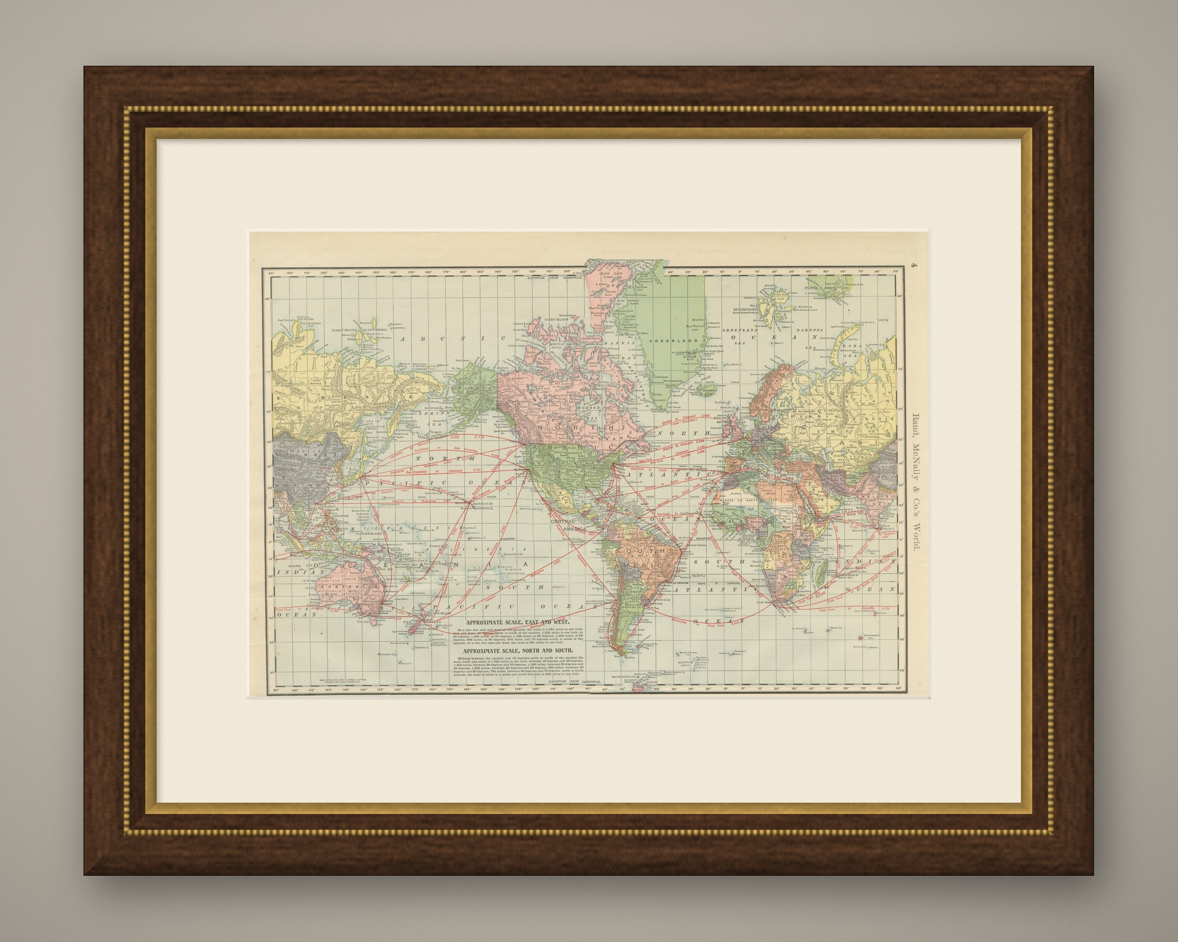
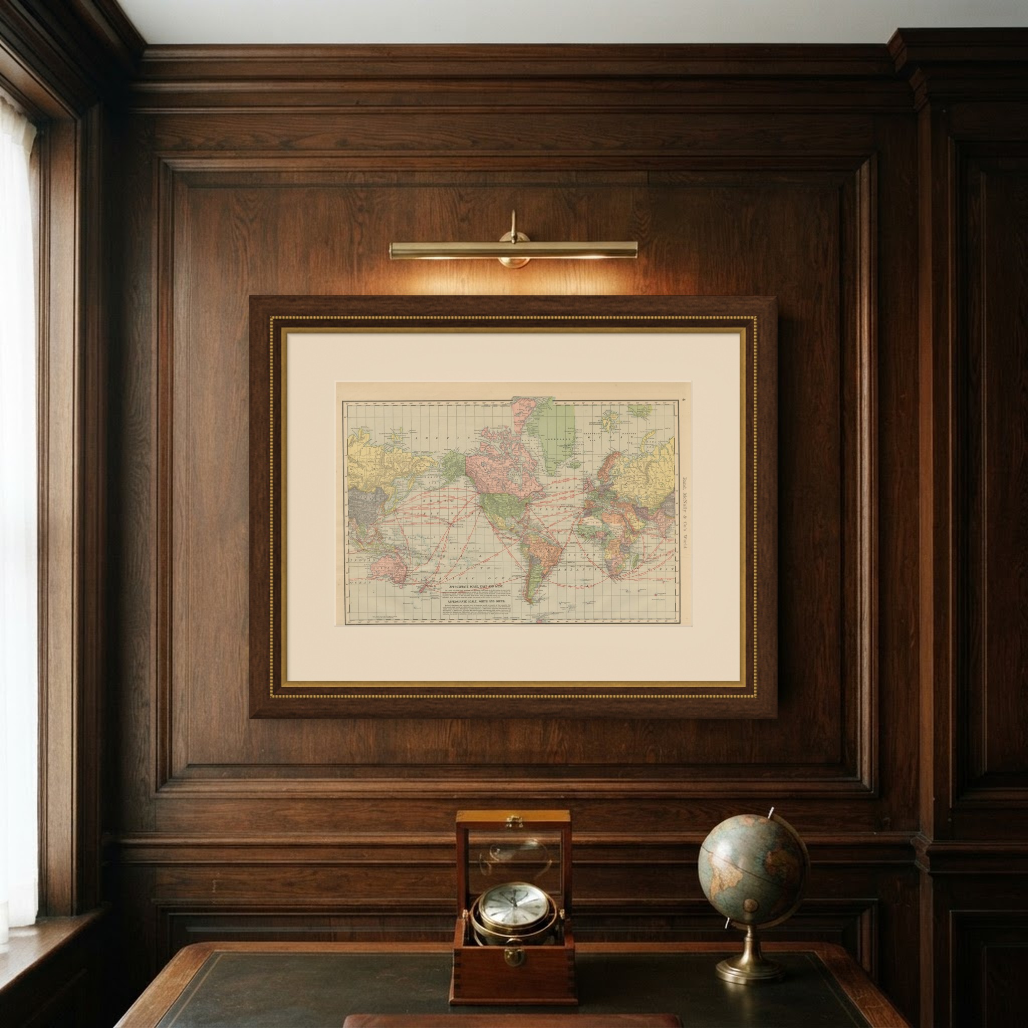
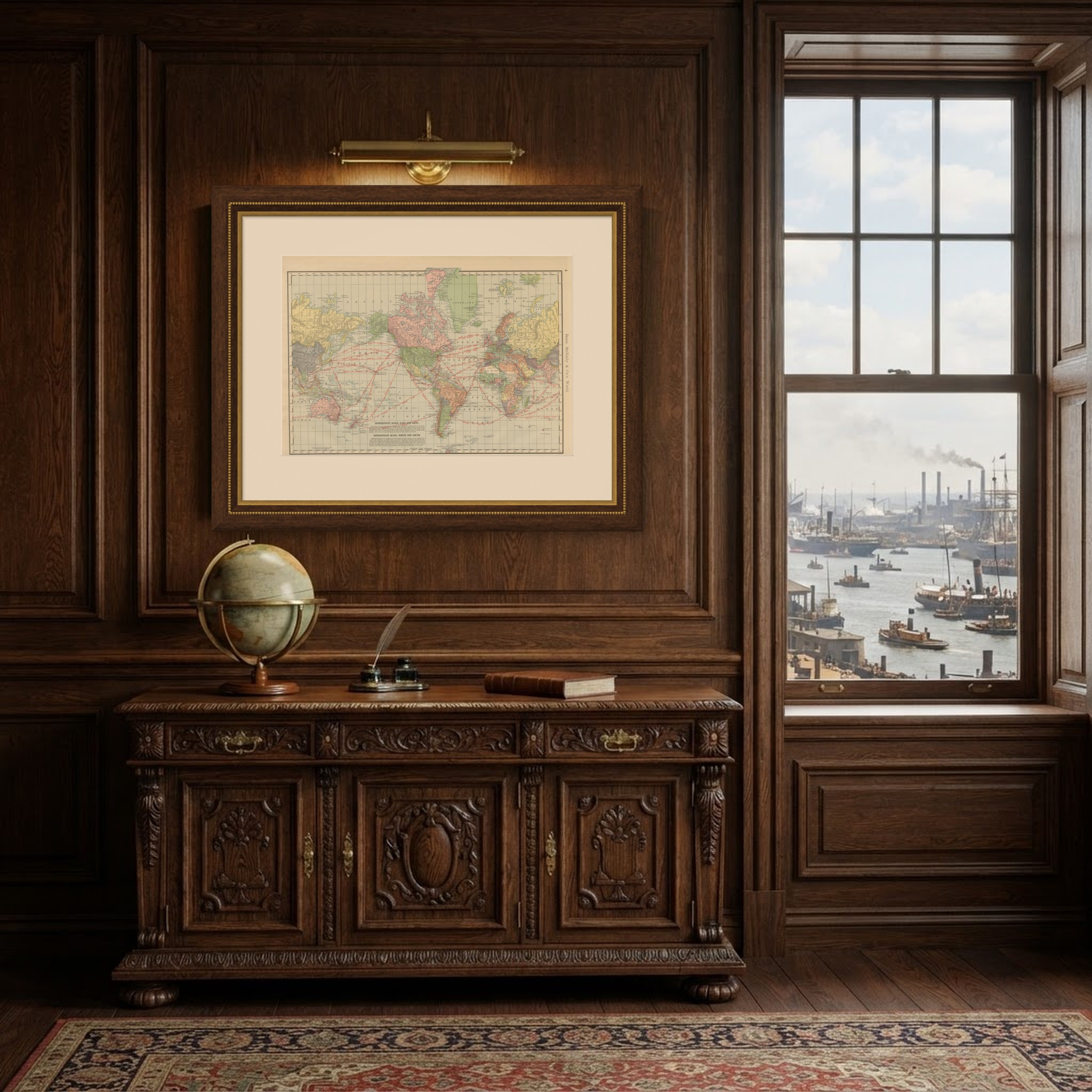
Frame and rooms are illustrations of how the piece could look; it is sold unframed unless the description says otherwise.
Antique Map of the World, with Steamship Routes, Rand McNally, 1899
$445
€395 · £335
Original print, not a reproduction.
Ships worldwide from the Netherlands, flat, insured and tracked. 14-day returns.
- Date
- 1899
- Technique
- Lithograph
- Coloring
- Printed color
- Condition
- Good. Good condition for its age. Light age toning, a few small spots in the margins and minor wear to the corners and sheet edges. Please review the images for further condition details.
- Collection
- Voyages of discovery
- Era
- 1850 and after, Steam and steel
- Stock no.
- BG-12793-2-1
What the condition grades mean
- Excellent
- Bright and clean, with no faults worth mentioning.
- Very good
- Only light signs of age, such as faint toning.
- Good
- Normal signs of age for a sheet of this period: toning, some foxing, small marks or neat old repairs.
- Fair
- Clear faults such as staining, tears or repairs, priced to match.
Every fault we see is written in the condition note, and the whole sheet is shown uncropped in the photos.
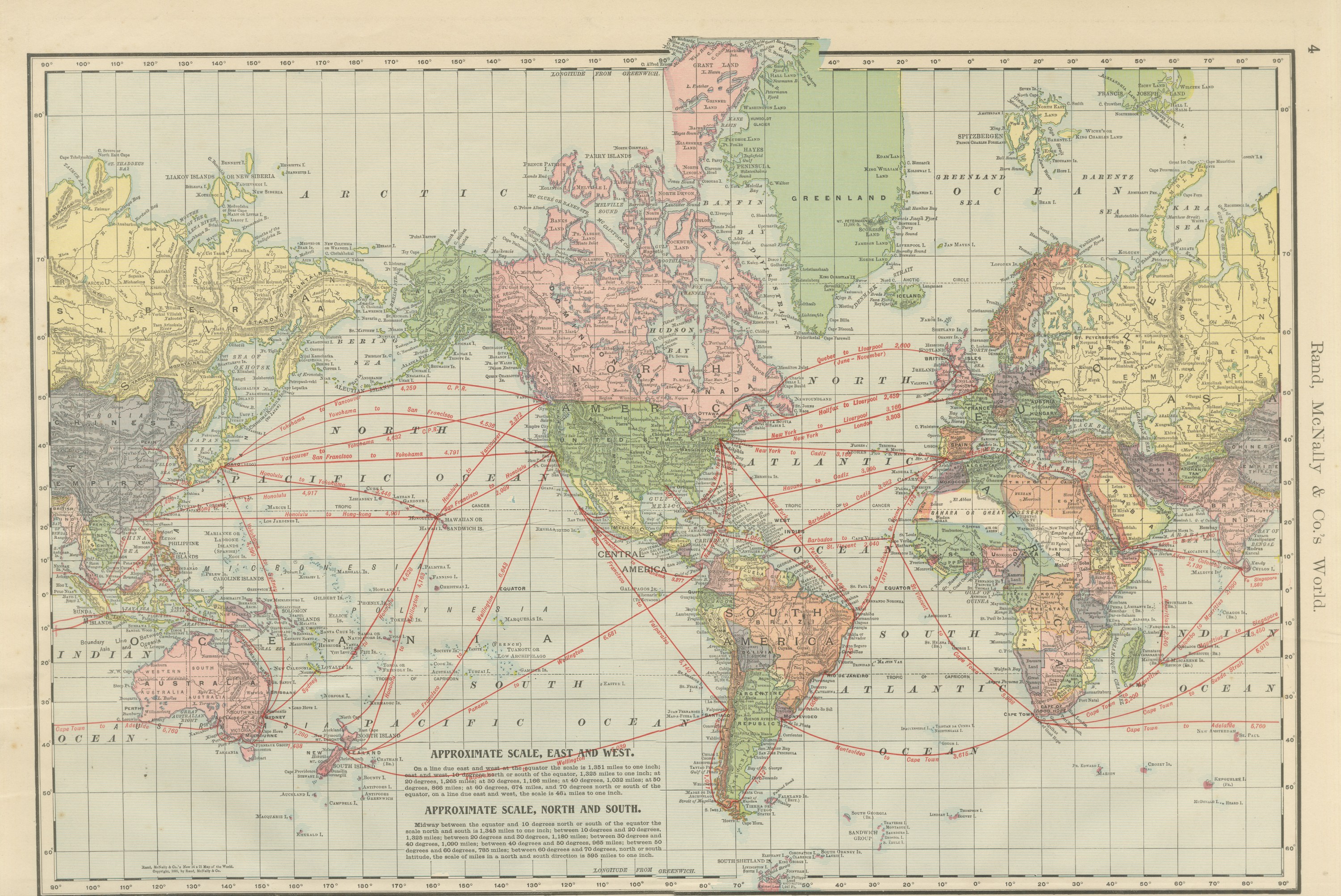
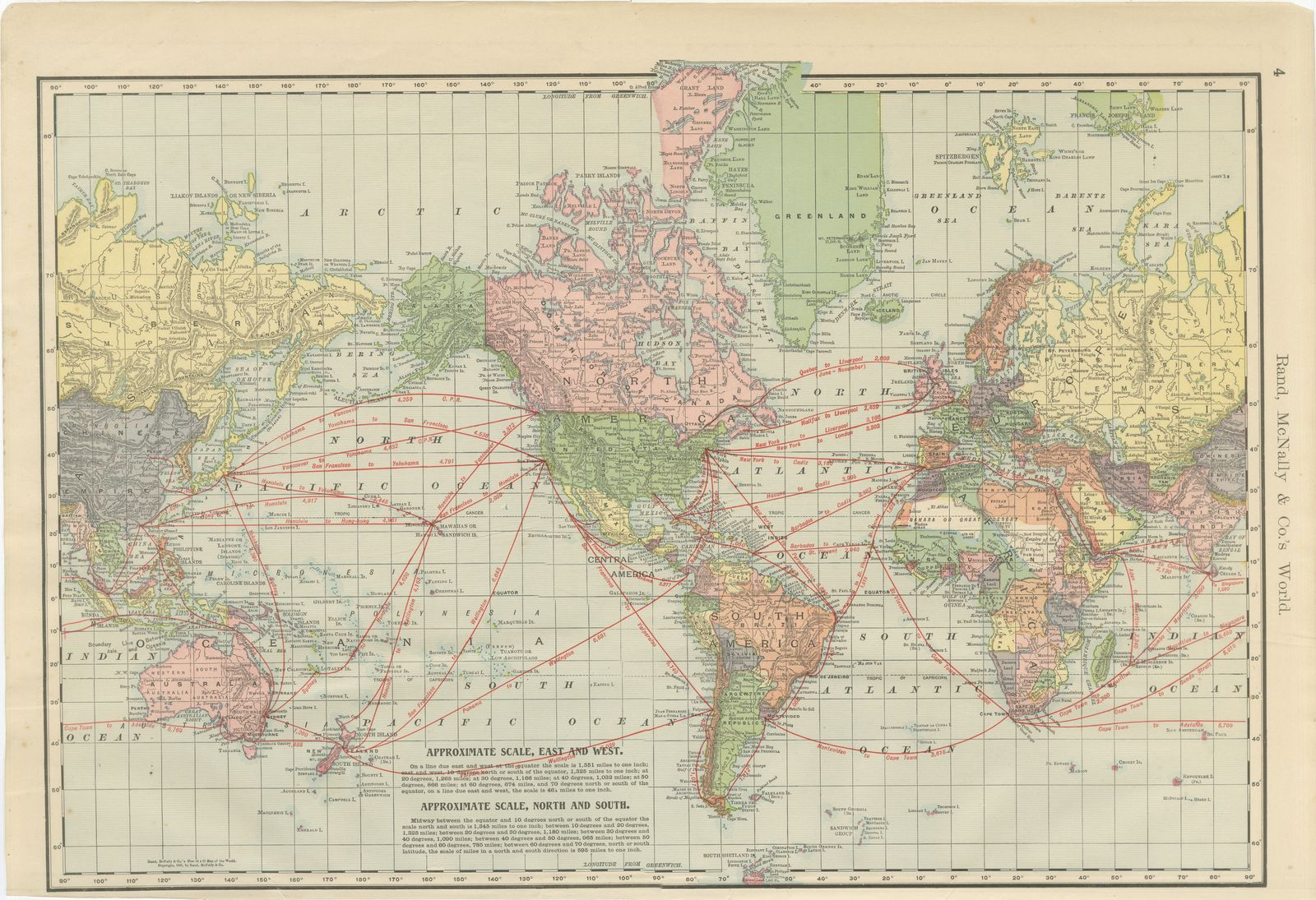
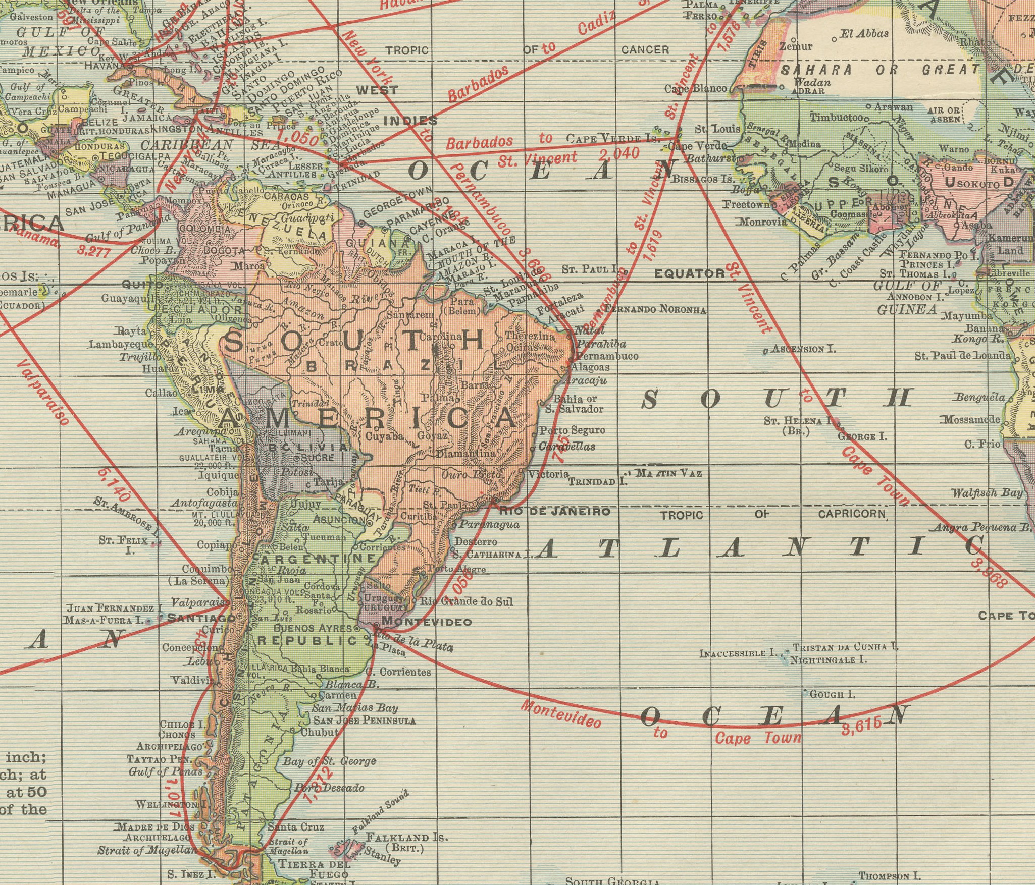
This antique map of the world, published by Rand McNally in Chicago in 1899, charts the principal steamship routes of the day across every ocean, each one marked with its distance in miles. It is the sheet that opens the map section of the atlas, on page 4.
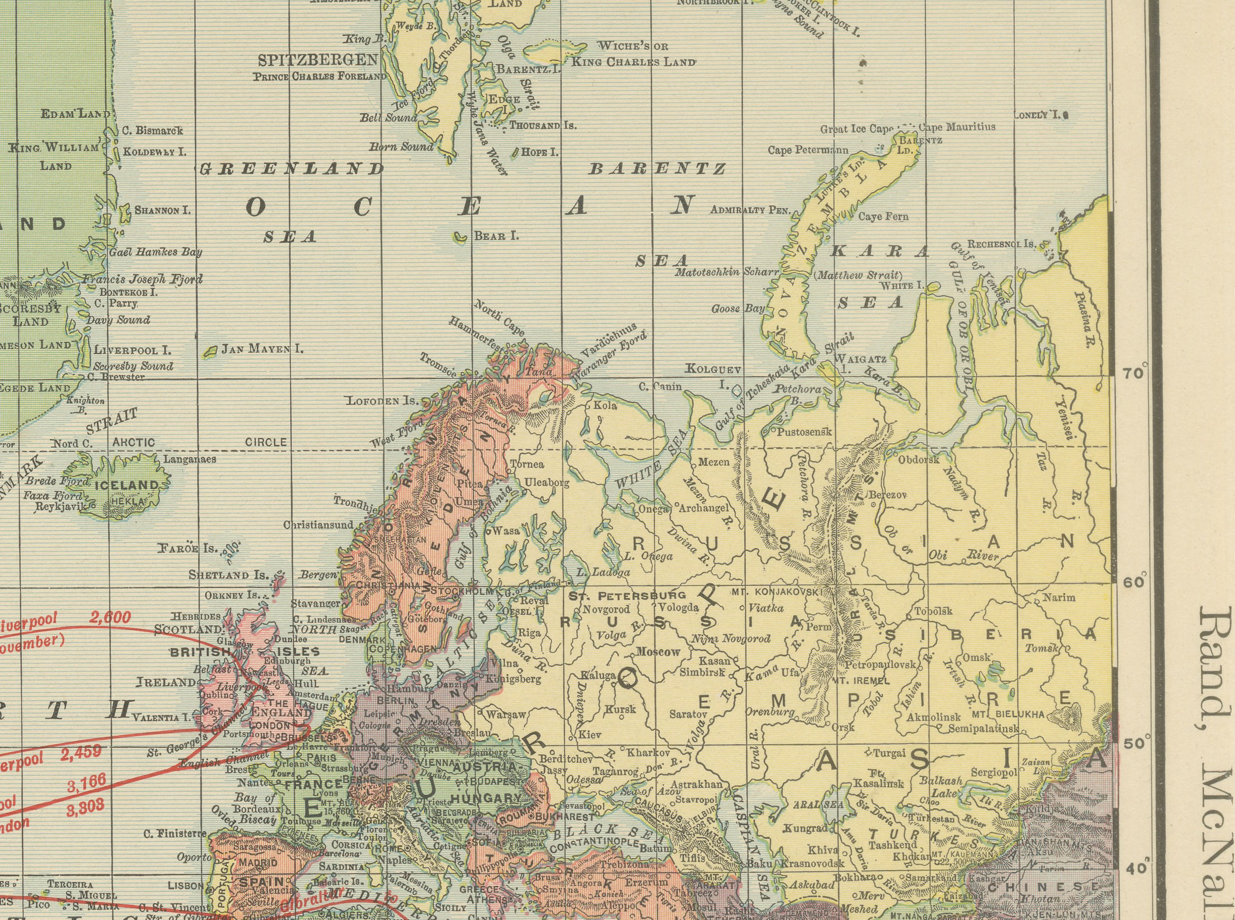
The world is laid out on a single rectangular projection running from 90 degrees west of Greenwich across to 90 degrees east on either side, so that the Americas and the whole of Asia and Australasia appear complete, with no central seam splitting either. Political divisions are printed in the atlas's pastel palette: pink for British possessions, including Canada and a good part of Africa and South Asia, with green, yellow, orange and mauve distinguishing the other powers and independent states. Greenland is still shown with Denmark's colonial holdings, and the interior of Africa carries the boundary lines current during the scramble for territory of the late 1890s.
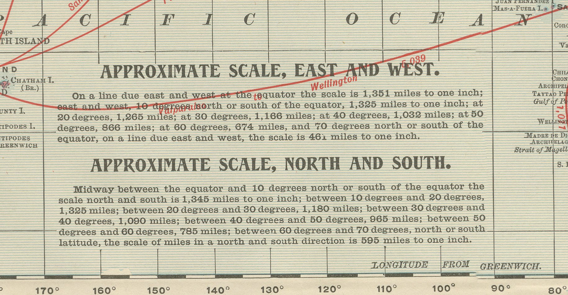
A dense network of red lines crosses the oceans: San Francisco to Yokohama and Hong Kong across the Pacific, New York to Liverpool and to Southampton across the Atlantic, Cape Town to Adelaide, and Suez to Bombay and on to Singapore. Notes in the lower center set out the scale both east to west and north to south, explaining how the miles per inch change with latitude on this projection, an aside aimed at the atlas's more serious reference users. The sheet carries the Rand McNally copyright in the lower left, dating the plate to the atlas's 1890s editions.
The publisher, Rand, McNally and Company of Chicago, began as a printing business founded by William Rand in the 1850s and joined by Andrew McNally. By the time of the 1899 indexed atlas it ranked among the leading American map publishers, known above all for railroad and commercial maps that were revised from one issue to the next.
Technically the sheet is a lithograph with printed color: the outline was printed in black and the colors were printed over it, so none of the coloring was added by hand. Once framed, this antique map of the world makes a handsome piece for a study, library or office, and it will interest collectors of maritime and commercial history as much as collectors of world maps.
The sheet is in good condition for its age, with light age toning, a few small spots in the margins and minor wear to the corners and sheet edges. Please review the images for further condition details.
This is an original antique map, not a modern reproduction. This item is sold unframed. Any framed or interior images are shown for presentation and inspiration only, unless the listing explicitly states that the item is sold framed.