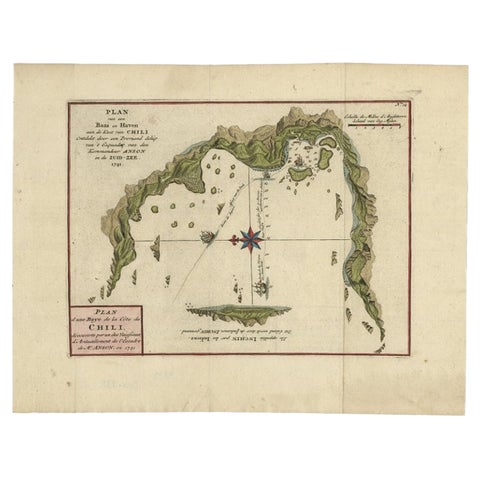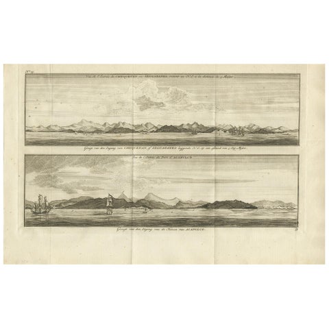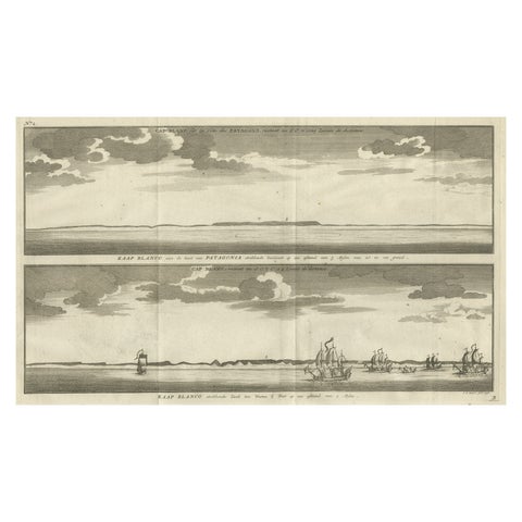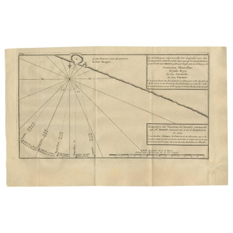
Close-ups
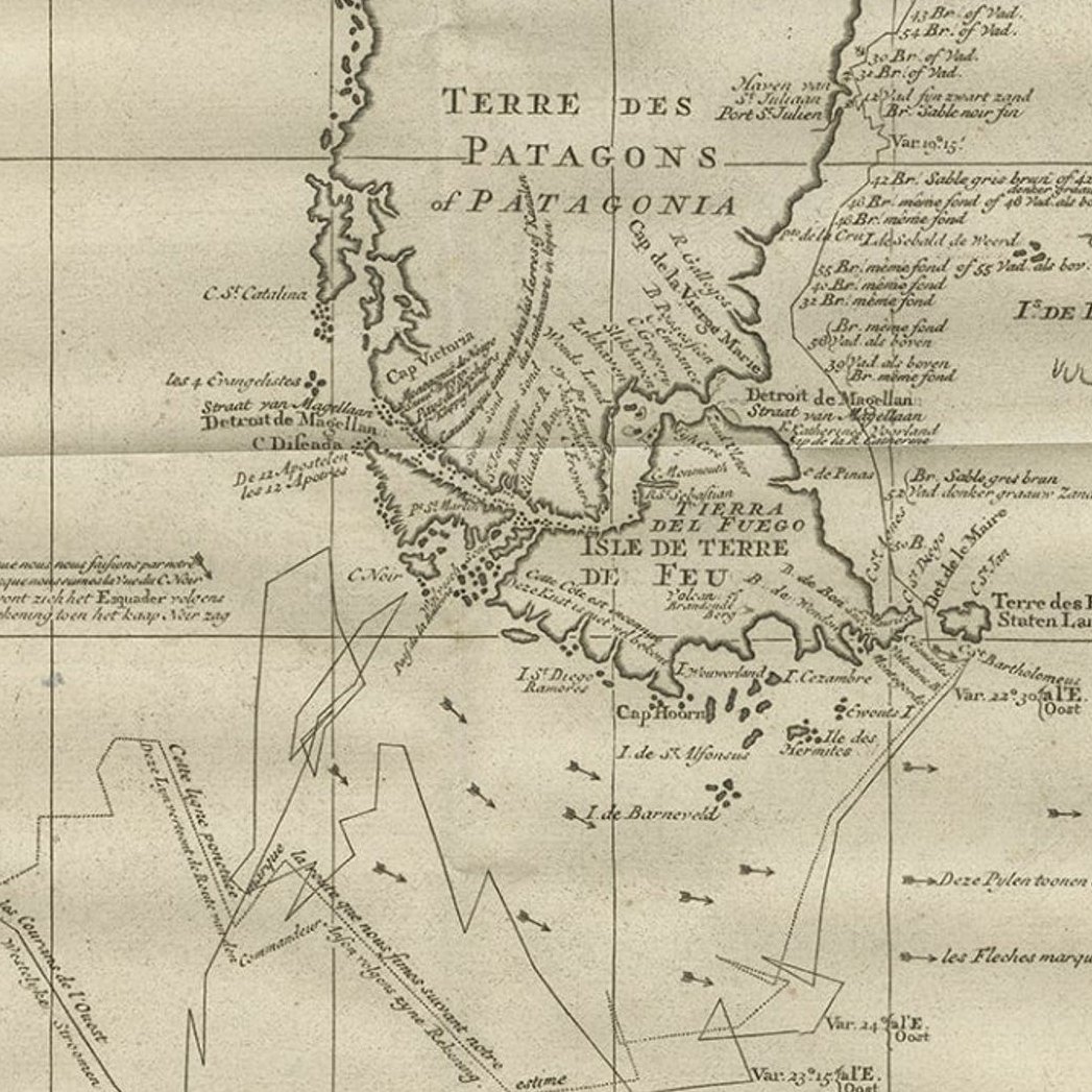
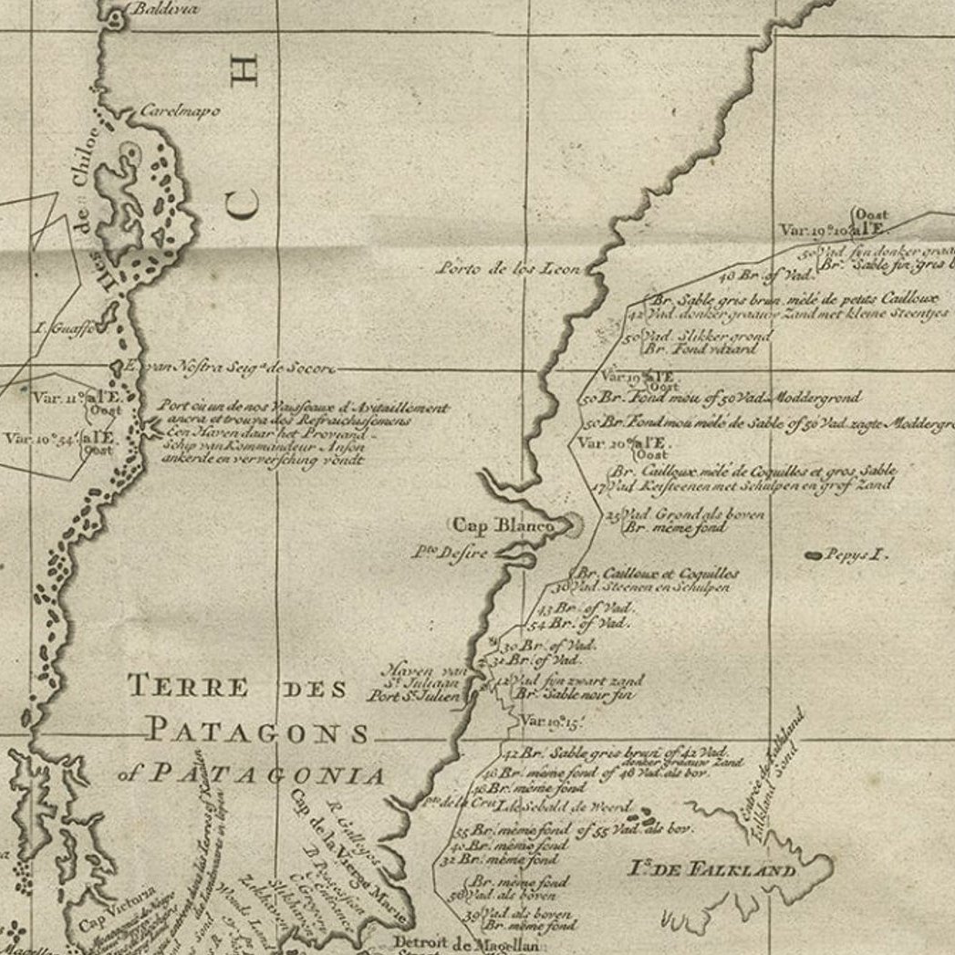
Framed and on the wall
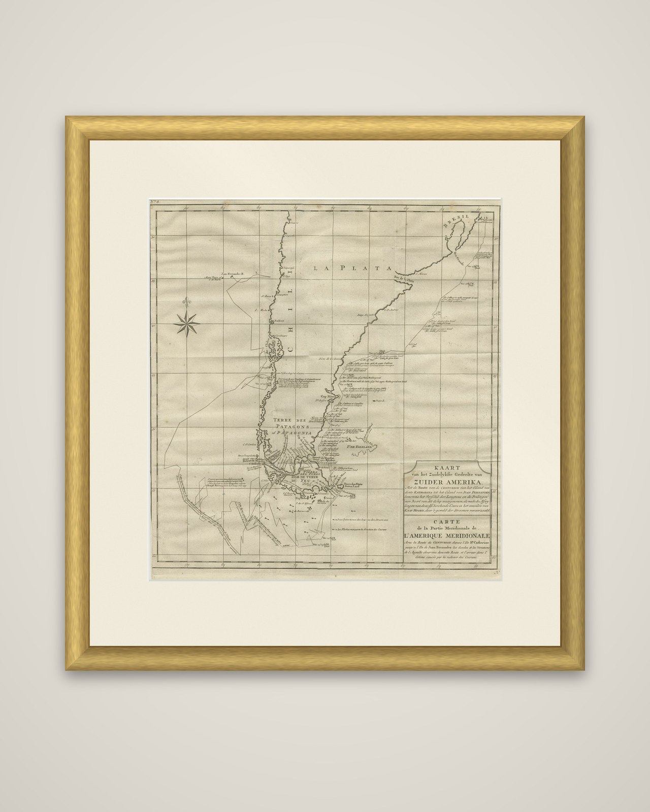
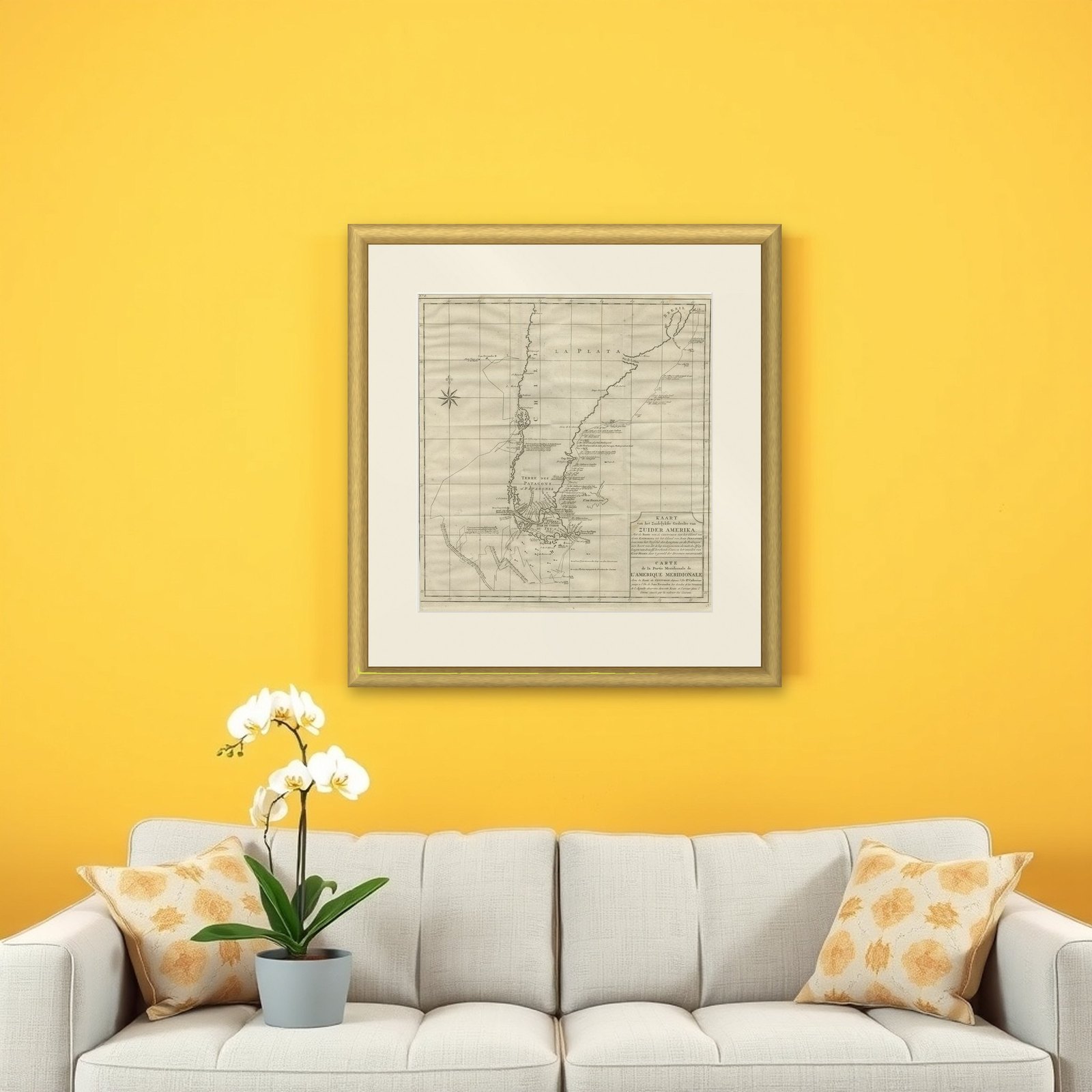
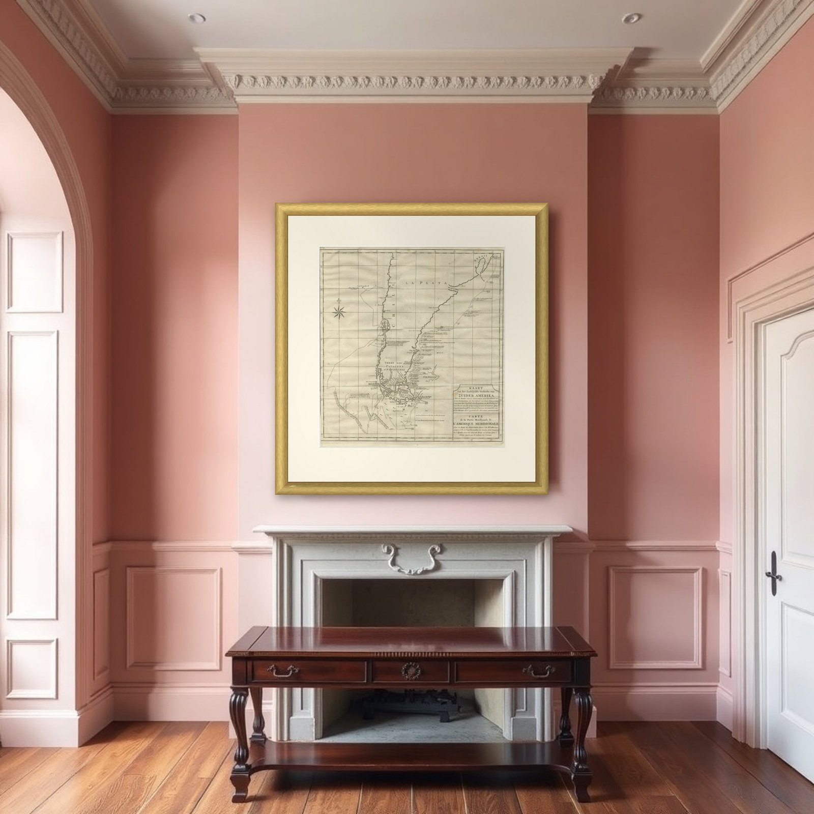
Frame and rooms are illustrations of how the piece could look; it is sold unframed unless the description says otherwise.
Antique Map of Tracks of Anson's Ships around South America & Cape Horn, 1749
€650
$730 · £550
Original print, not a reproduction.
Ships worldwide from the Netherlands, flat, insured and tracked. 14-day returns. To buy, use Ask a question and we will reserve it for you.
- Date
- 1749
- Sheet size
- 21.7 × 19.7 in (55 × 50 cm)
- Condition
- Good. General age-related toning. Original folding lines. Minor wear, some foxing. Small repair in left margin, slightly affecting image. Blank verso, please study image carefully.
- Collection
- Voyages of discovery
- Era
- 1700 to 1789, Age of discovery
- Stock no.
- f_26437052
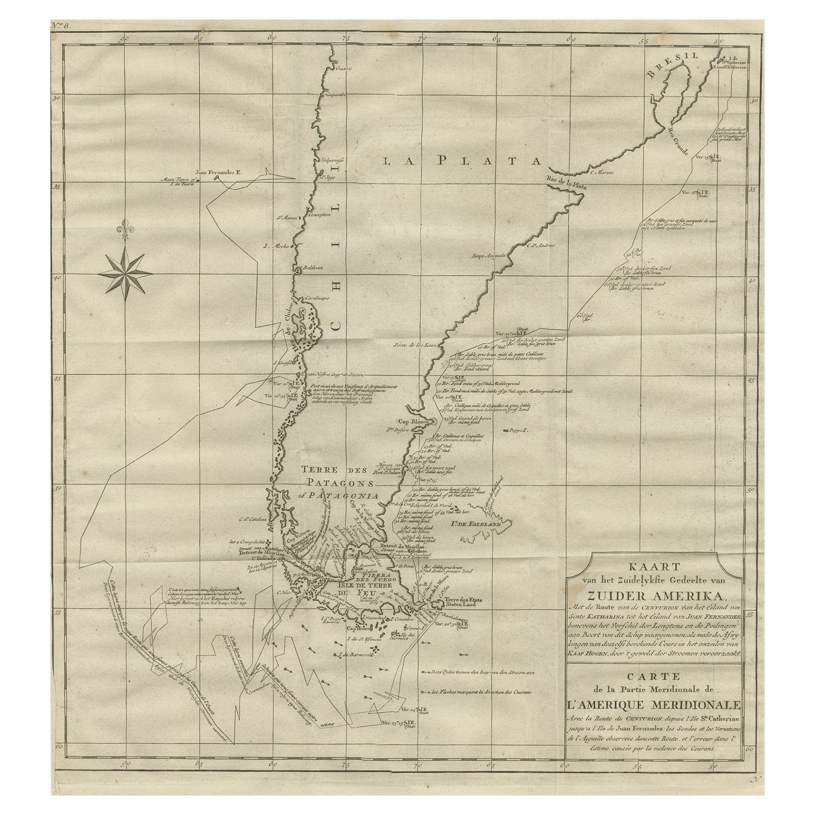
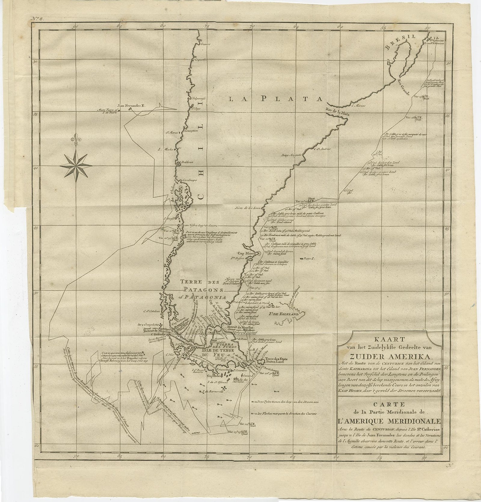
Kaart van het Zuidelykste Gedeelte van Zuider Amerika, an original copper engraving from the Dutch edition of George Anson's Reize rondsom de Werreld, published in 1749. The chart is lettered in Dutch and French, with the French title reading "Carte de la Partie Meridionale de l'Amerique Meridionale avec la Route du Centurion."
The map traces the track of Anson's ship Centurion from the island of Santa Catarina, on the Brazilian coast, round Tierra del Fuego and Cape Horn and up the coast of Chile to the island of Juan Fernández. Notes on currents, soundings and compass variation are set along the route, and the Strait of Le Maire and the lands around Tierra del Fuego are named. The long coast of Chile runs along the left, with "Terre des Patagons ou Patagonie" lettered across the southern tip and the Rio de la Plata and Brazil at the top. A compass rose sits at the upper left, and a title block with the Dutch and French titles fills the lower right corner.
Anson sailed in 1740 with orders to attack Spanish possessions in the Pacific, and the passage round the Horn was the hardest part of the voyage. The published account of his voyage was among the best-selling travel books of its century.