Close-ups
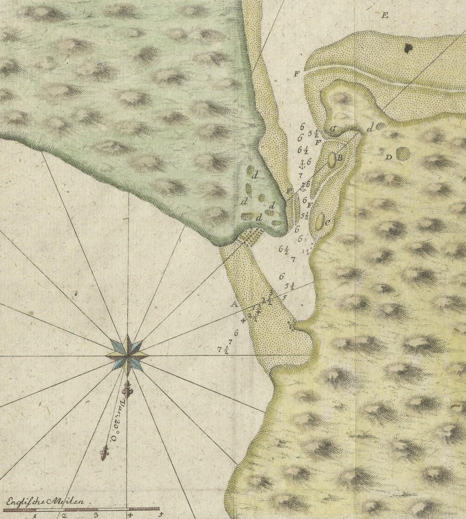
Framed and on the wall
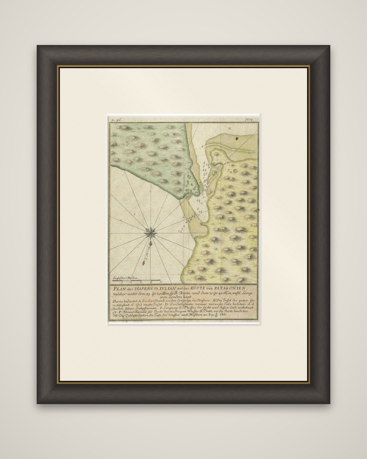


Frame and rooms are illustrations of how the piece could look; it is sold unframed unless the description says otherwise.
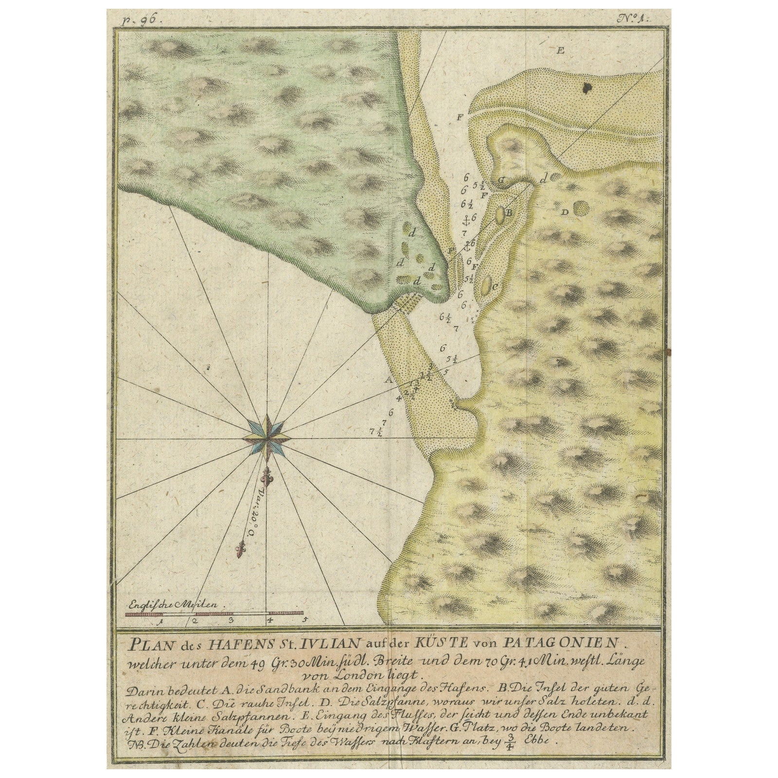
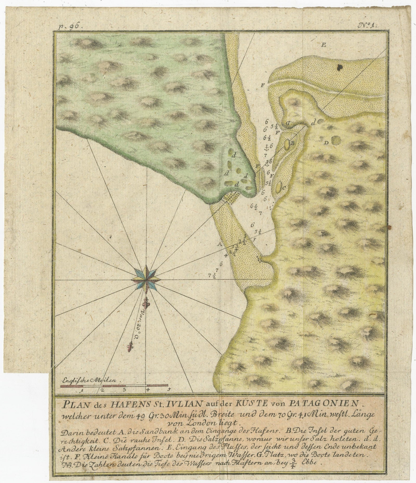
Antique Plan of Plan of St. Julian's Harbour on the Coast of Patagonia
£245
$325 · €290
Original print, not a reproduction.
Ships worldwide from the Netherlands, flat, insured and tracked. 14-day returns. To buy, use Ask a question and we will reserve it for you.
- Date
- Not stated
- Sheet size
- 8.9 × 7.7 in (22.5 × 19.5 cm)
- Condition
- Fair. Wear consistent with age and use. General age-related toning. Thin paper, partly trimmed. Original folding lines. Few small tears, slightly affecting image. Blank verso, please study images carefully.
- Collection
- Voyages of discovery
- Stock no.
- f_31065422
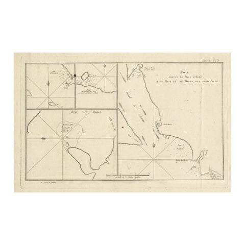
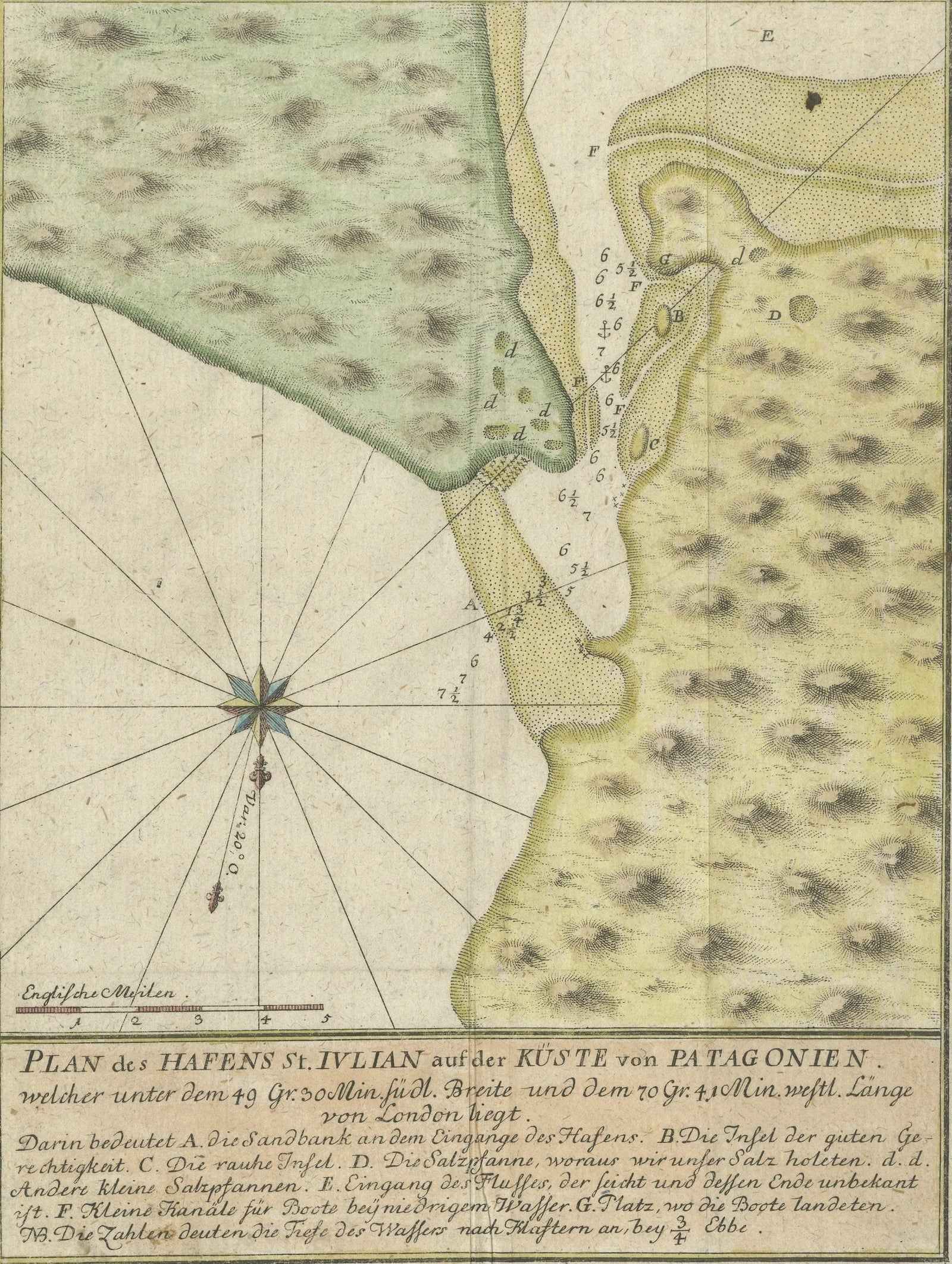
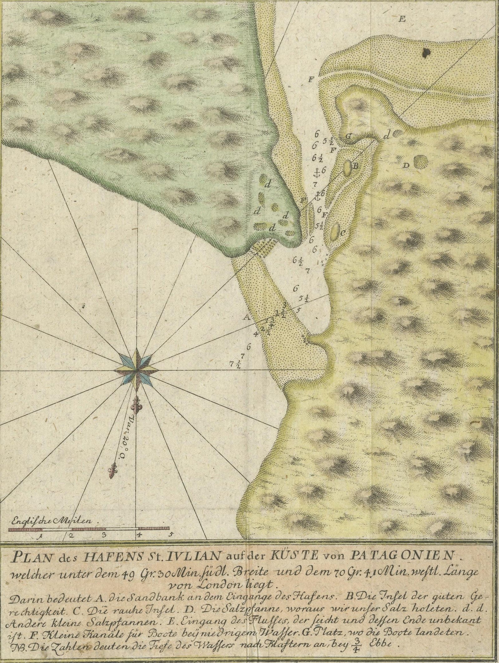
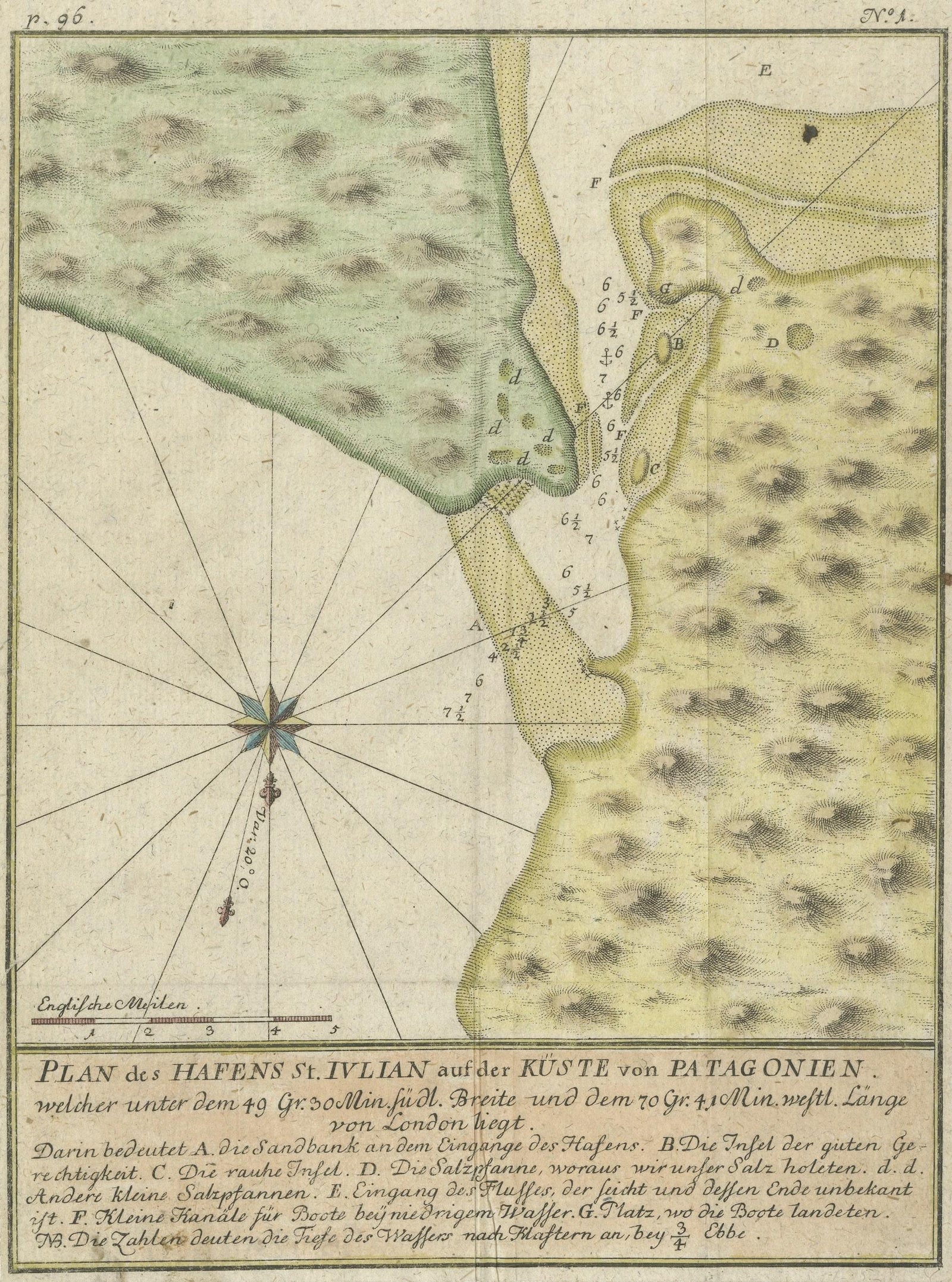
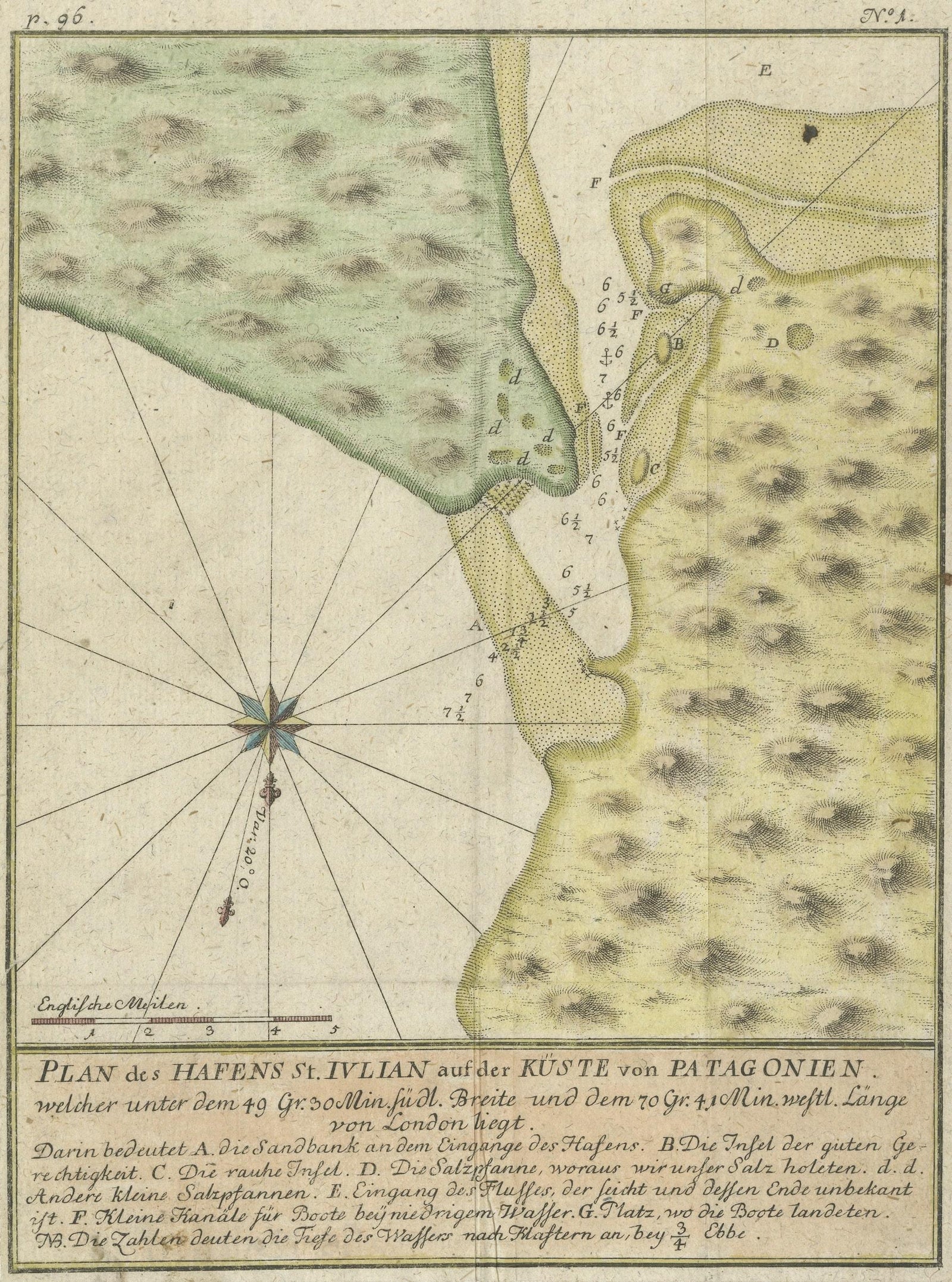
St. Julian's Harbor on the coast of Patagonia, an original antique plan titled "Plan des Hafens St. Iulian auf der Küste von Patagonien", from a German edition of Lord George Anson's Voyage around the World, published in 1763. The engraved sheet is lightly hand colored and bears the page number 96 and the plate number 1 at the top.
The plan shows the harbor entrance, a sandbank, small islands, salt pans and a creek, drawn over a green and yellow ground with hill symbols across the surrounding land. Soundings are given in small figures along the channels, a compass rose with a fleur-de-lis stands at the left, and a scale of English miles runs along the lower edge. The printed caption gives the position as 49 degrees 30 minutes south latitude and 70 degrees 41 minutes west of London, and a lettered key explains the marks: A the sandbank at the harbor entrance, B the island "der guten Gerechtigkeit", C the rough island, D the salt pans where the crew gathered their salt, F small channels, and G the landing place for boats, with the depths given at three-quarter ebb.
Anson's squadron put in at this harbor in 1741 during the voyage round the world, and the account of that voyage was widely translated in the eighteenth century.
EXPLORE