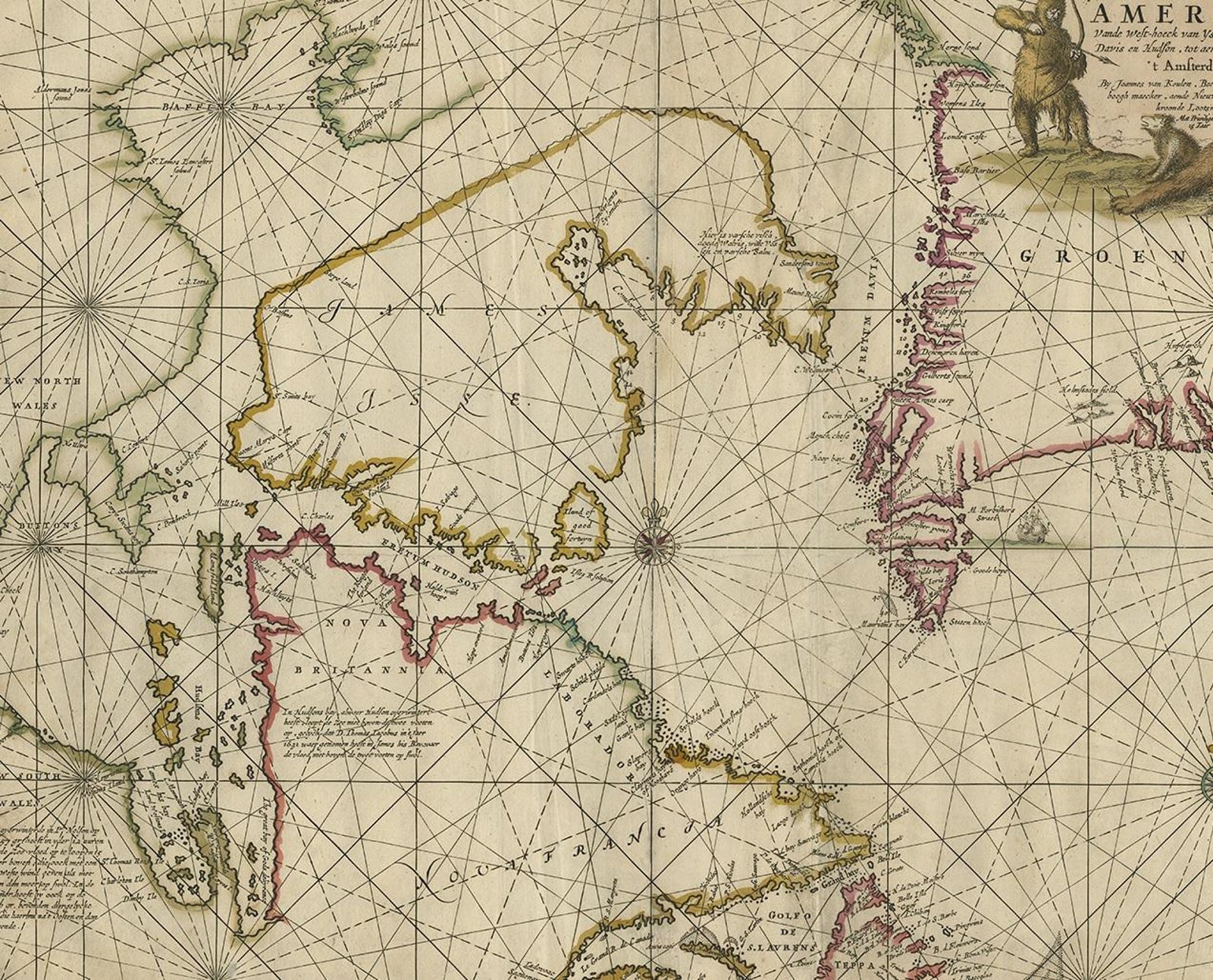
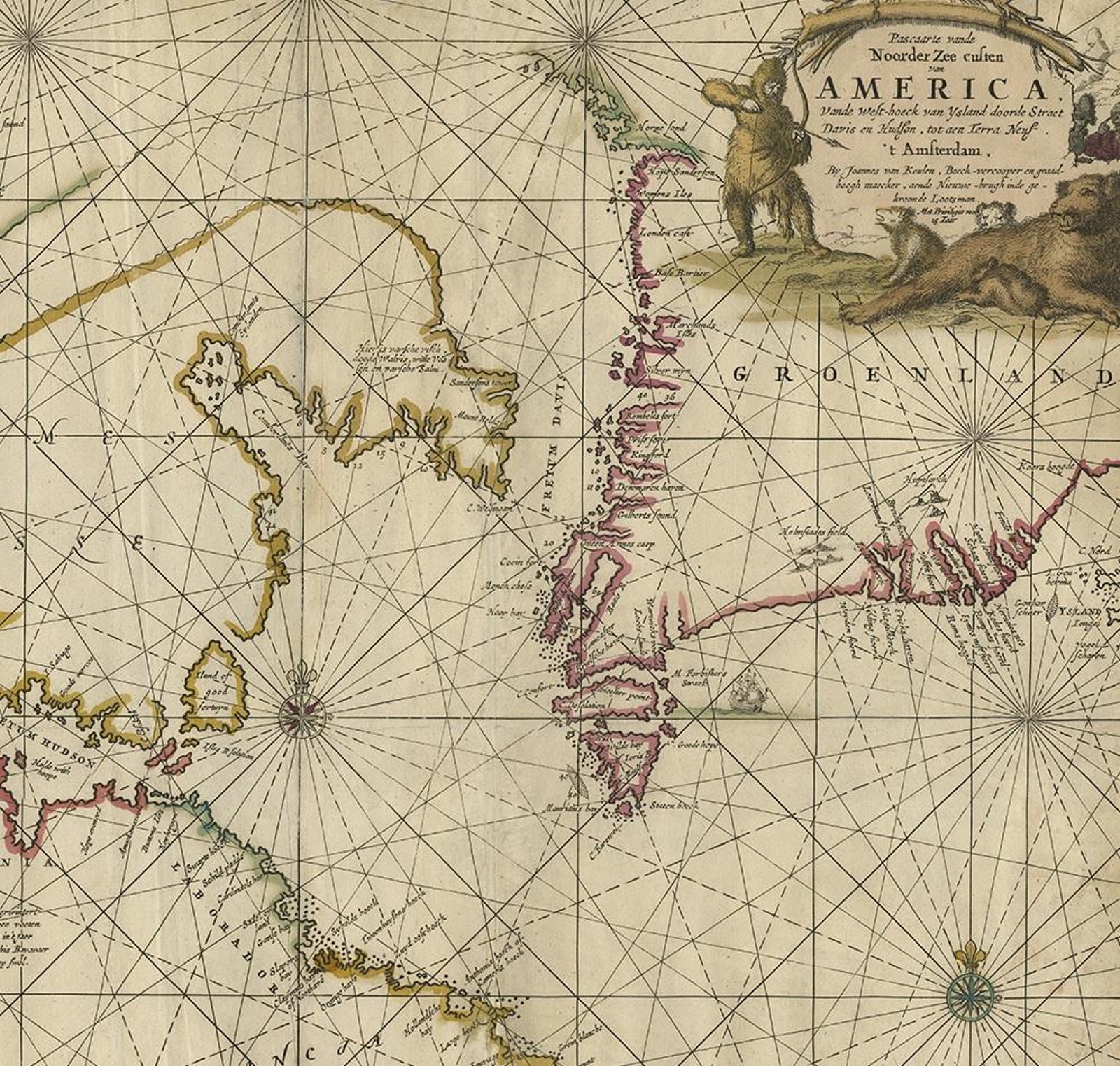
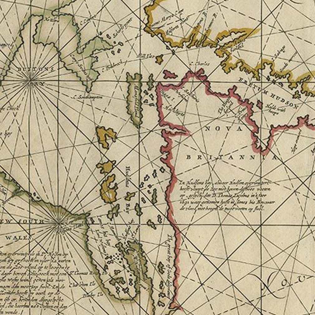
Close-ups
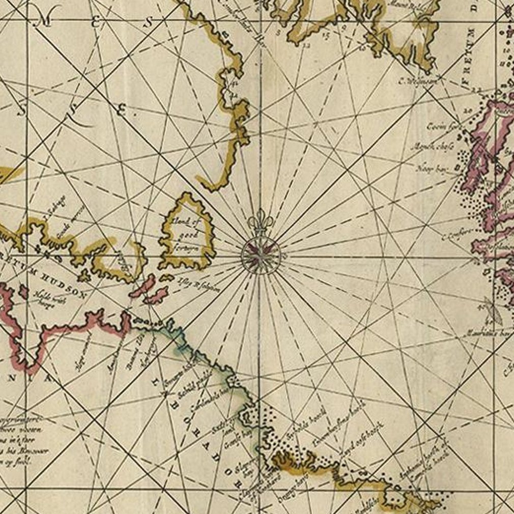
Framed and on the wall
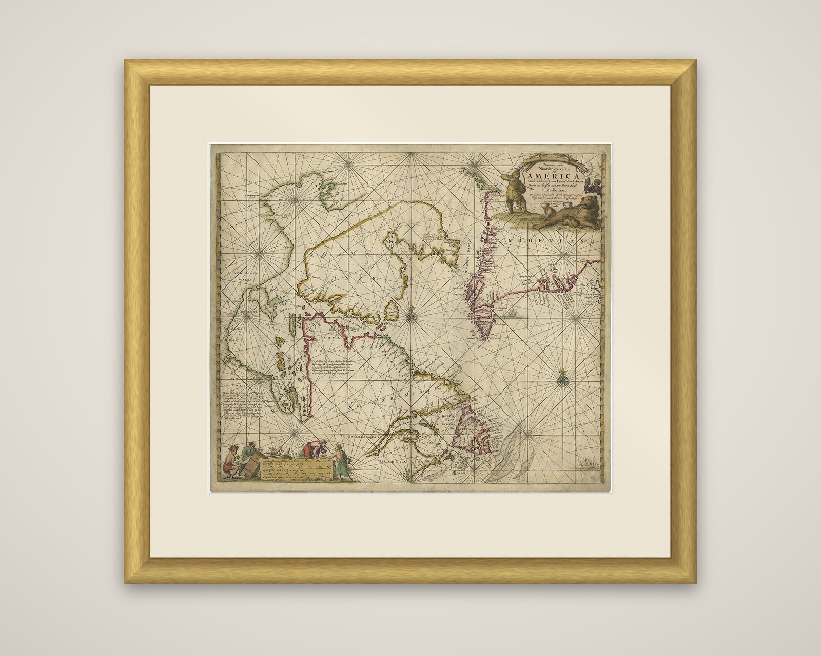


Frame and rooms are illustrations of how the piece could look; it is sold unframed unless the description says otherwise.
Antique Sea Chart of Hudson Bay and Arctic Canada by Van Keulen, circa 1681
€4,750
$5,320 · £4,025
Original print, not a reproduction.
Ships worldwide from the Netherlands, flat, insured and tracked. 14-day returns.
- Date
- 1681
- Sheet size
- 20.9 × 23.8 in (53 × 60.5 cm)
- Technique
- Engraved
- Condition
- Good. Original/contemporary hand coloring. Original folding line. Few vertical creases. General age-related toning. Shows some wear and soiling. Blank verso, please study images carefully.
- Collection
- Sea charts
- Era
- Before 1700, Dutch Golden Age
- Stock no.
- f_21366512
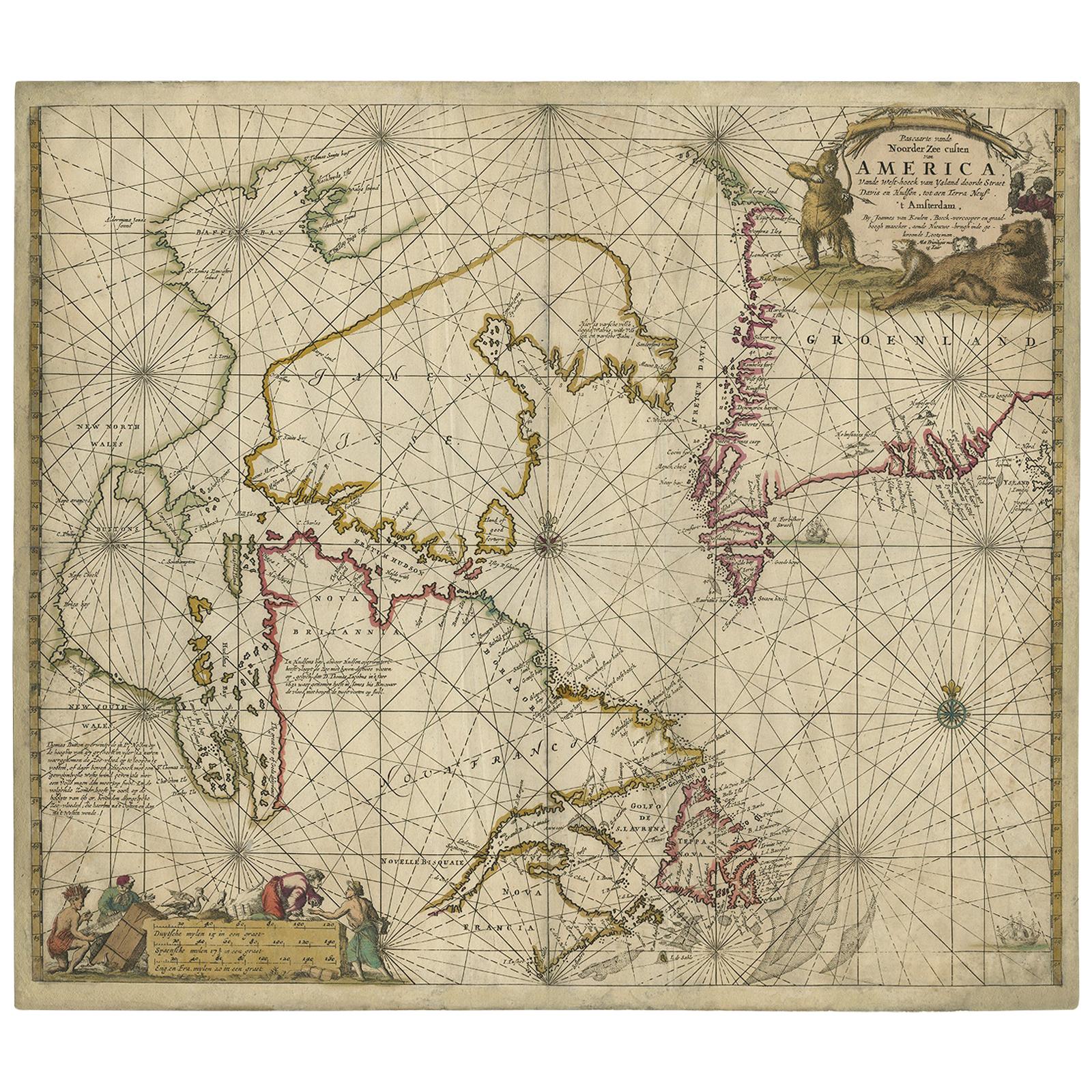
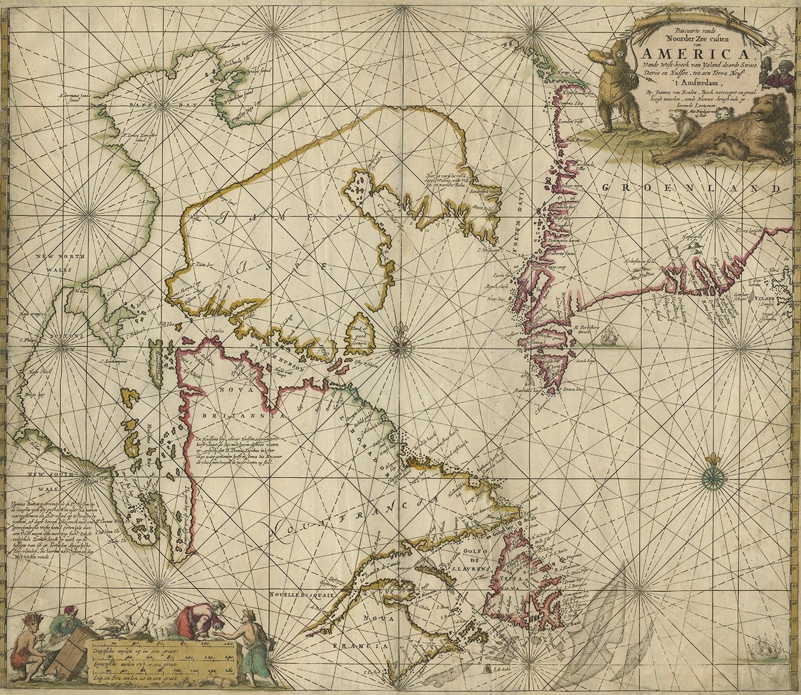
A sea chart of Hudson Bay and Arctic Canada, titled "Pascaarte vande Noorderzee Custen van America," published by Van Keulen in Amsterdam about 1681, in original hand coloring. The map was first drawn in 1680 and is based on Doncker's last chart of Hudson Bay and the Arctic, with nearly identical cartouches.
The chart shows Hudson Bay and its islands in the center, Davis Strait and the coast of Greenland to the right, and Labrador, Newfoundland and the Gulf of St. Lawrence at the lower right, with "Nova Britannia," "Nova Francia" and "New North Wales" lettered on the shore. Compass roses and crossing rhumb lines cover the sea, and small ships sail in the open water. The title cartouche is remarkable: a hunter fully dressed in fur takes aim with bow and arrow at a polar bear and her cubs. A second cartouche for the scale at the lower left shows scenes of trading and figures with animals.
The chart records the Dutch knowledge of the northern coasts of North America in the late seventeenth century, and is a decorative example of Van Keulen's sea charts.