Close-ups
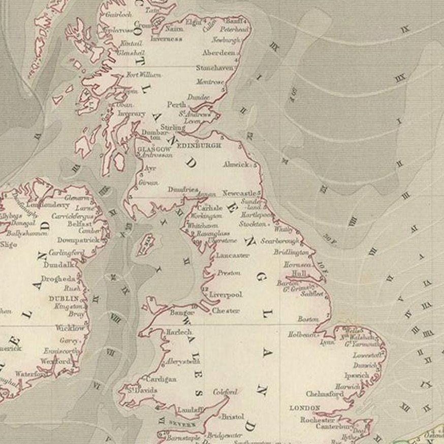
Framed and on the wall
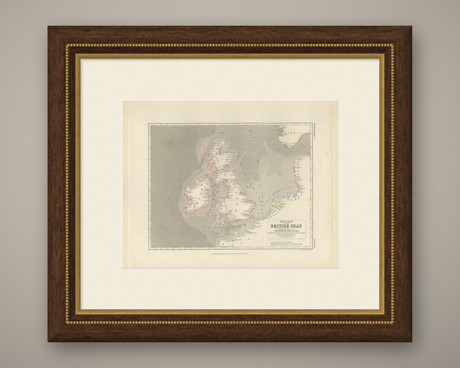


Frame and rooms are illustrations of how the piece could look; it is sold unframed unless the description says otherwise.
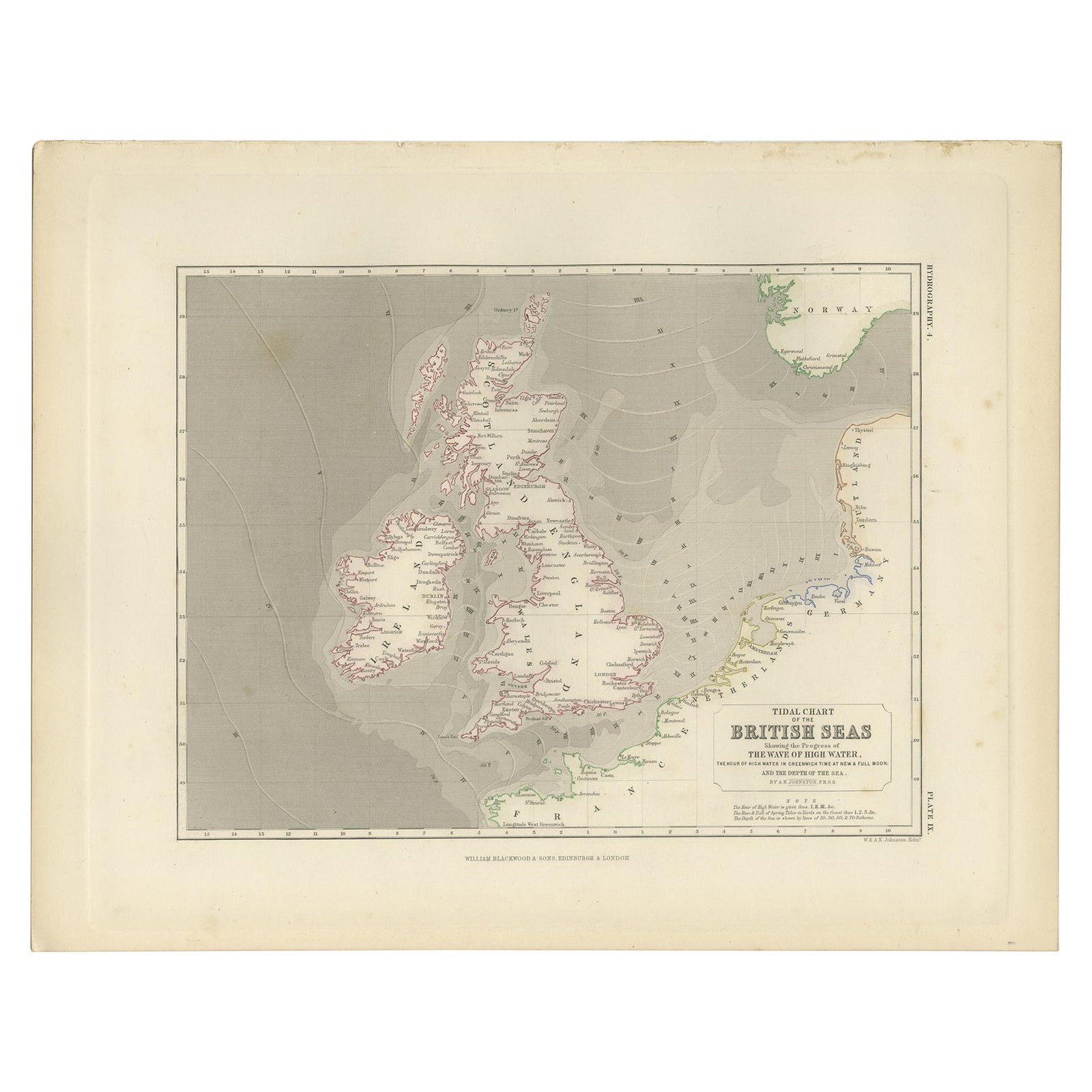
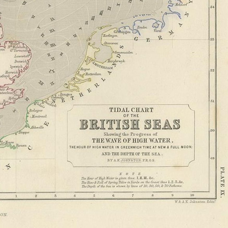
Antique Tidal Chart of the British Seas by Johnston, '1850'
$225
€200 · £170
Original print, not a reproduction.
Ships worldwide from the Netherlands, flat, insured and tracked. 14-day returns.
- Date
- 1850
- Sheet size
- 11 × 14.2 in (28 × 36 cm)
- Condition
- Good. General age-related toning. Minor wear, blank verso. Please study image carefully.
- Collection
- Sea charts
- Era
- 1850 and after, Steam and steel
- Stock no.
- f_23452402
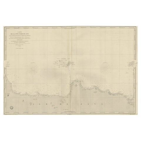
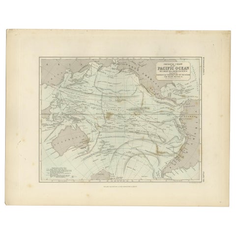
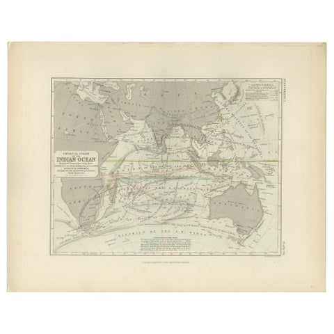
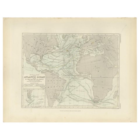
Antique map titled 'Tidal Chart of the British Seas showing the progress of the wave of high water'. Original antique tidal chart of the British Seas. This map originates from 'The Physical Atlas of Natural Phenomena' by A.K. Johnston, published 1850.