Close-ups
Framed and on the wall
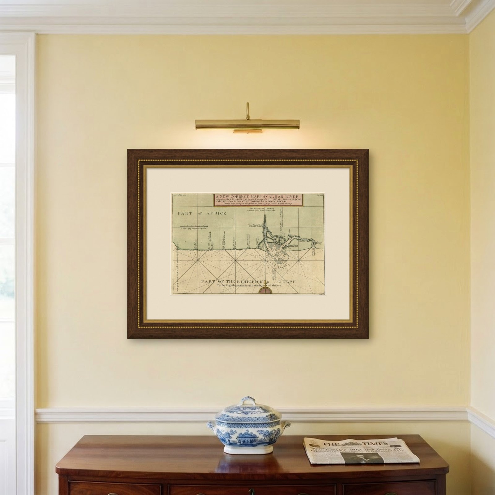
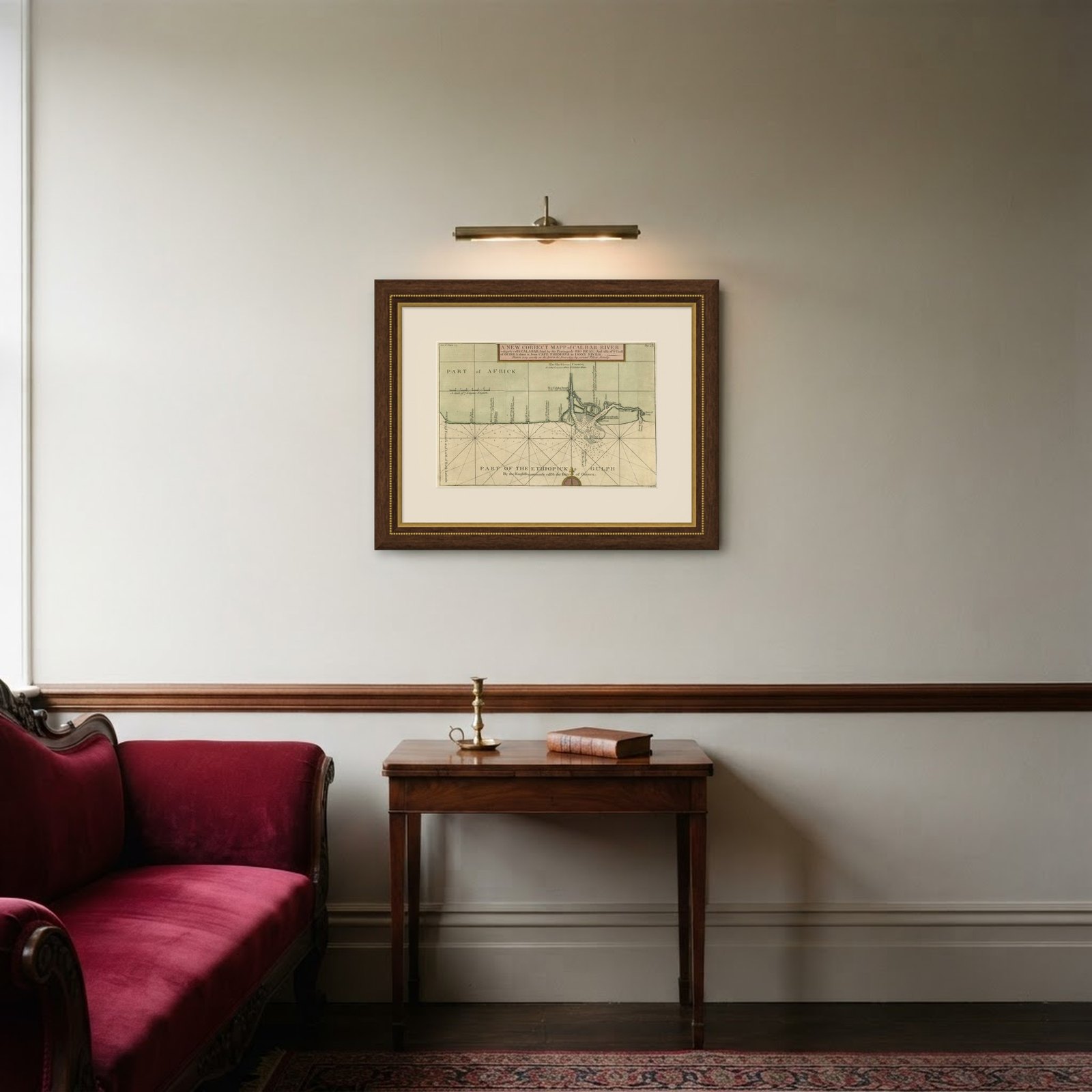
Frame and rooms are illustrations of how the piece could look; it is sold unframed unless the description says otherwise.
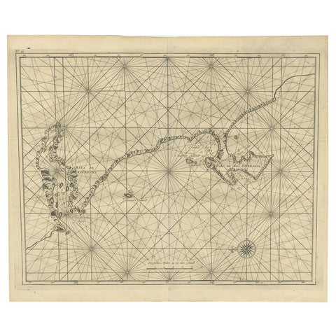
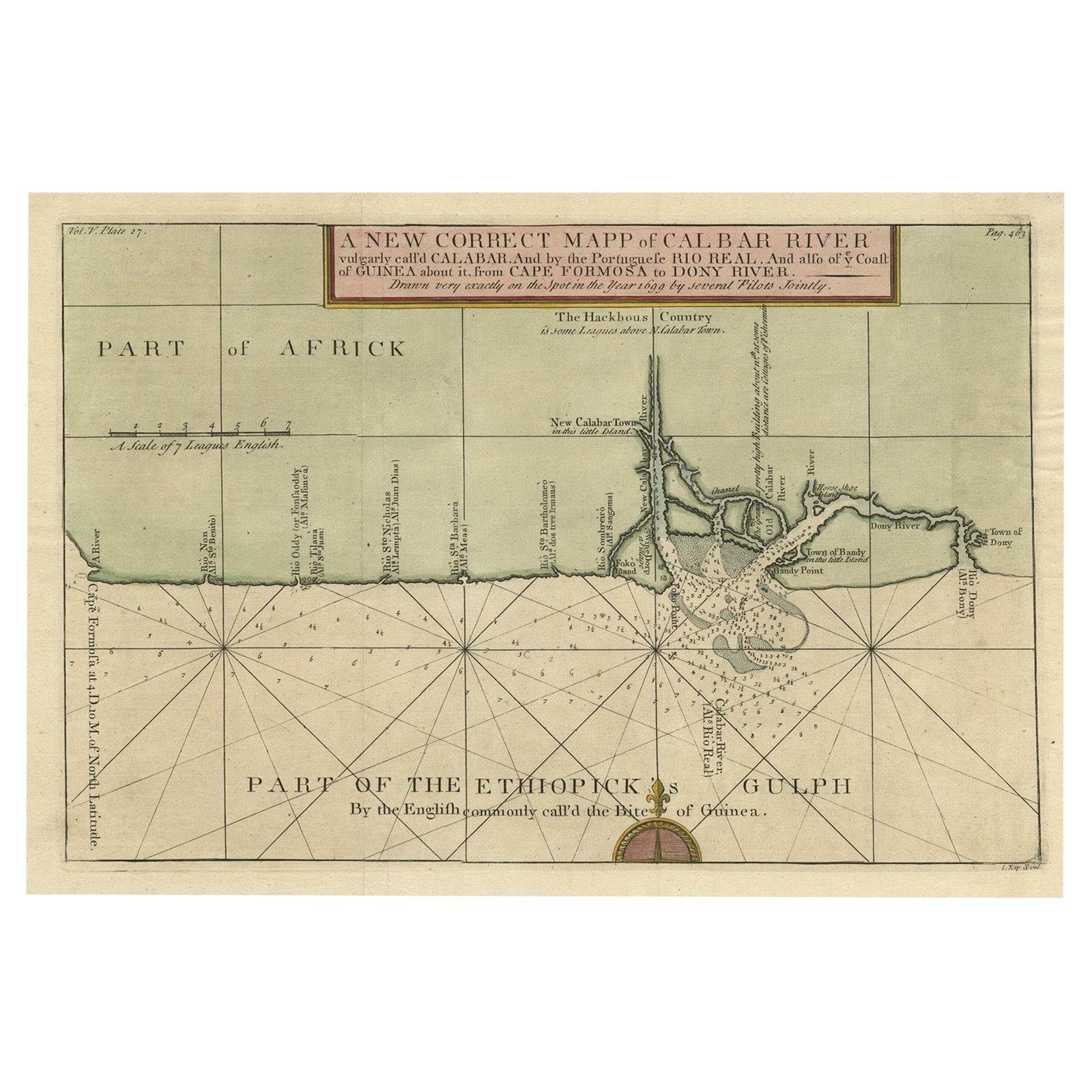
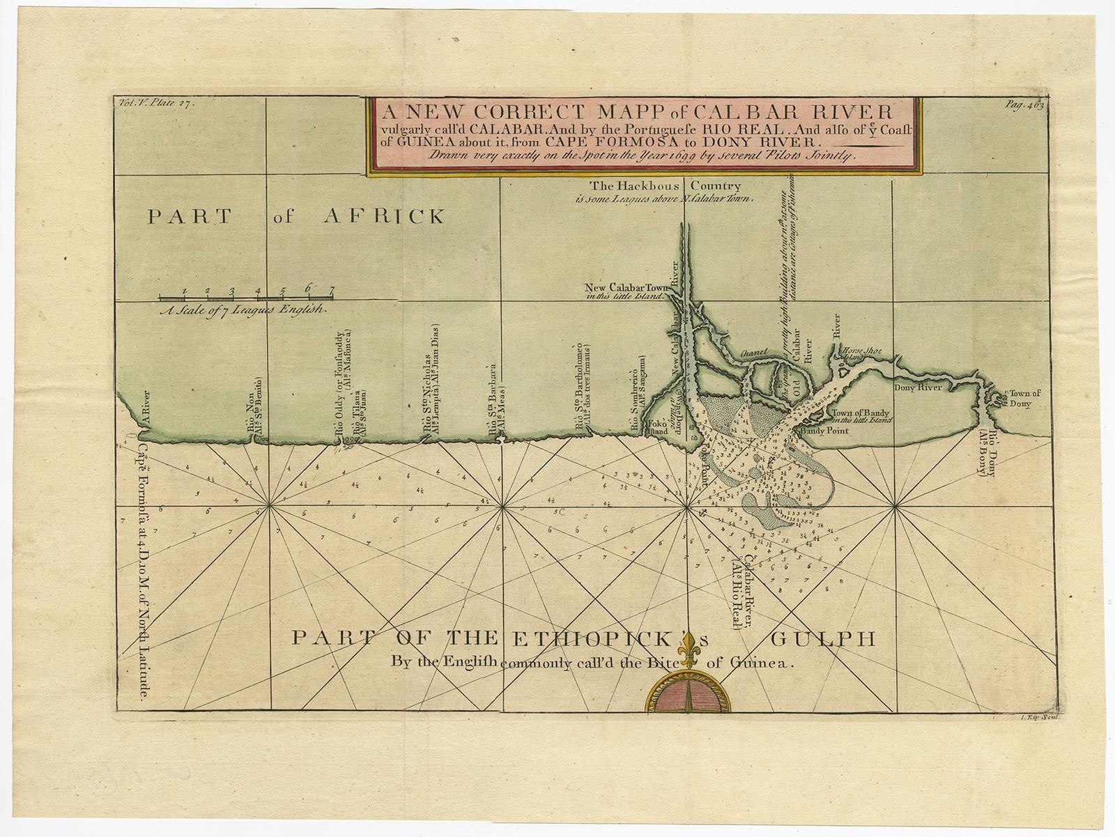
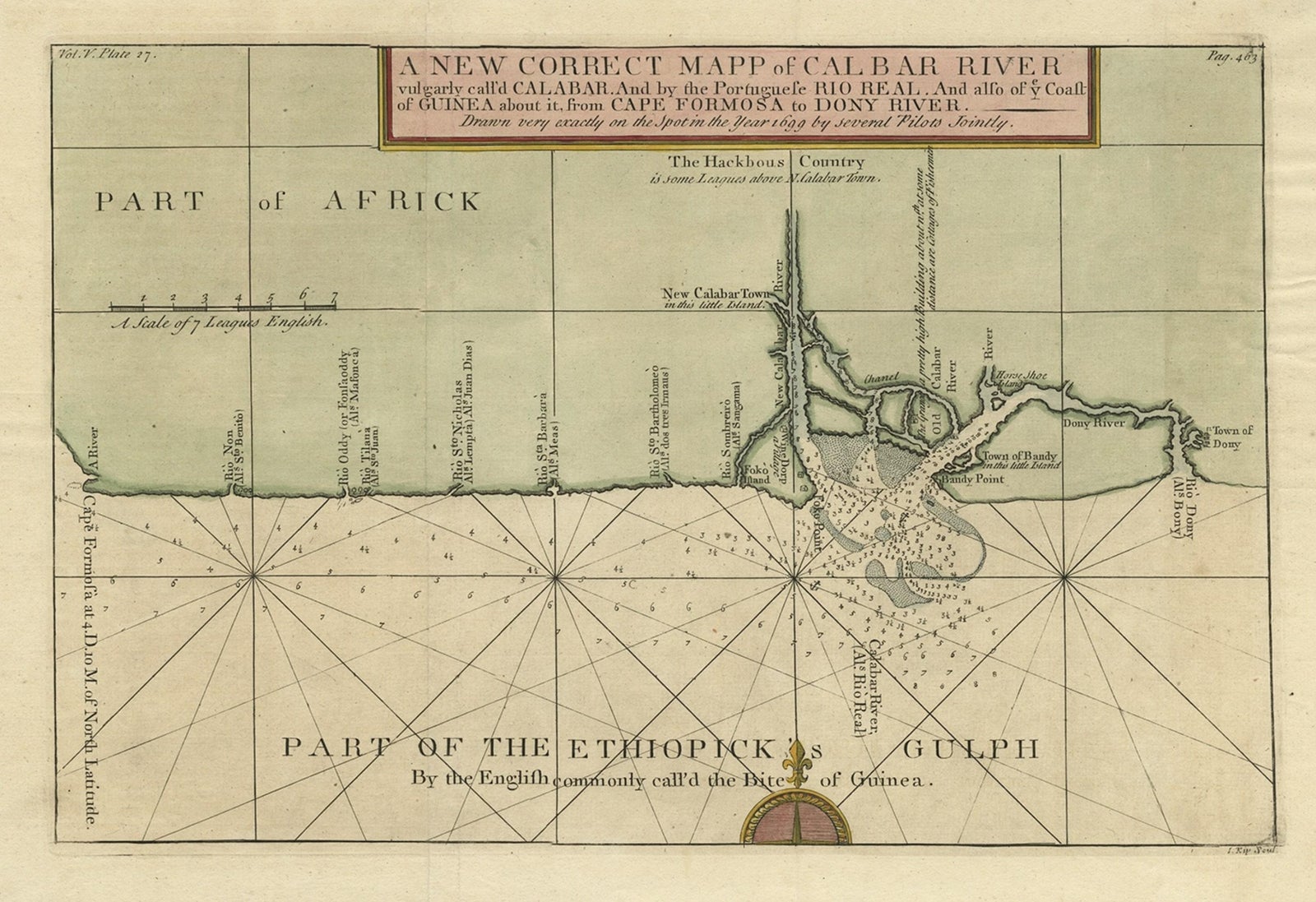
Authentic Map of the Coast from Cape Formosa to the Dony River, Africa, 1732
$640
€570 · £485
Original print, not a reproduction.
Ships worldwide from the Netherlands, flat, insured and tracked. 14-day returns.
- Date
- 1732
- Sheet size
- 12.8 × 17.2 in (32.4 × 43.8 cm)
- Condition
- Good. Given age. A few minor spots. Some minor crinkles and creases. Original folds as issued. General age-related toning and/or occasional minor defects from handling. Please study image carefully.
- Collection
- Sea charts
- Era
- 1700 to 1789, Age of discovery
- Stock no.
- f_26755142
Antique map titled 'The New Correct Mapp of Calbar River vulgarly call'd Calabar (..)'.
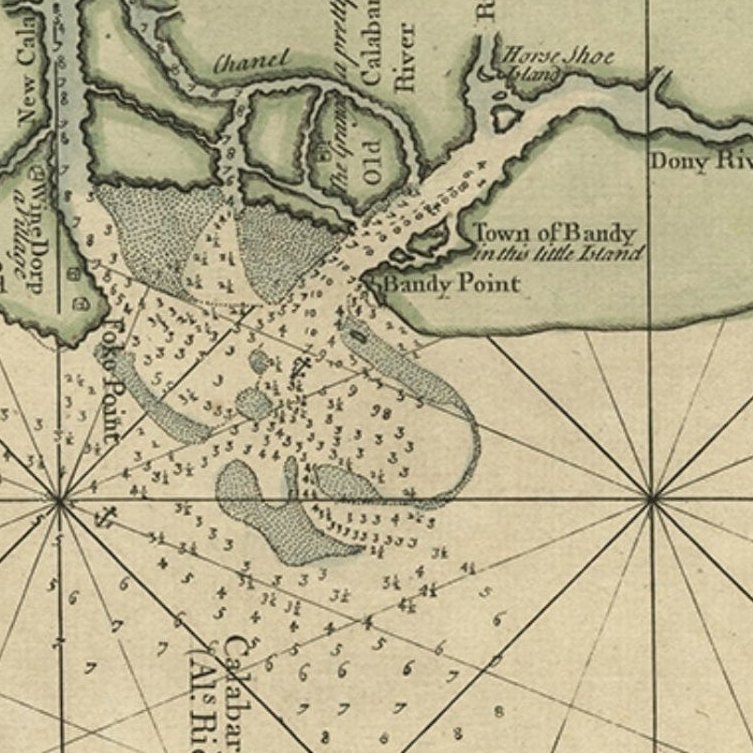
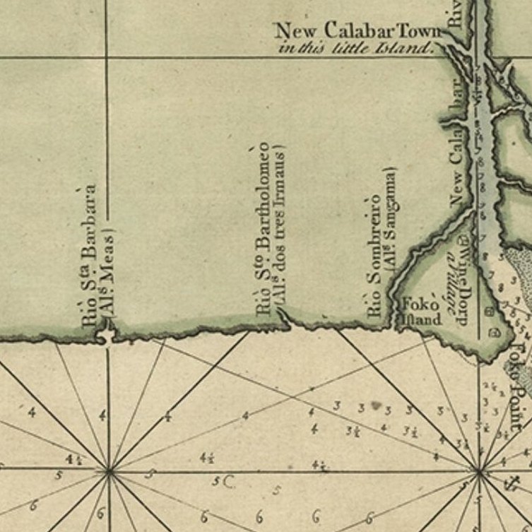
An interesting map of the coast from Cape Formosa to the Dony River stated on the map to be "drawn very exactly on the Spot in the Year 1699 by several Pilots Jointly." Filled with soundings, showing the locations of shoals and oriented by a compass rose and rhumb lines. This map originates from volume 5 of 'A Description of the Coasts of North and South Guinea and of Ethiopic Inferior' by John Barbot.
Artists and Engravers: Made by 'Johannes Kip' after 'John Churchill'.
EXPLORE