Close-ups
Framed and on the wall
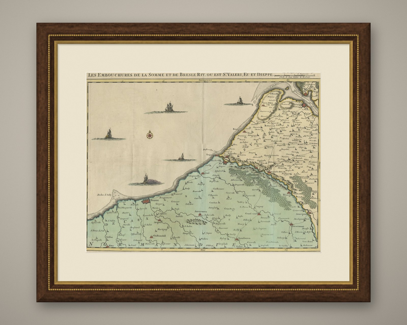
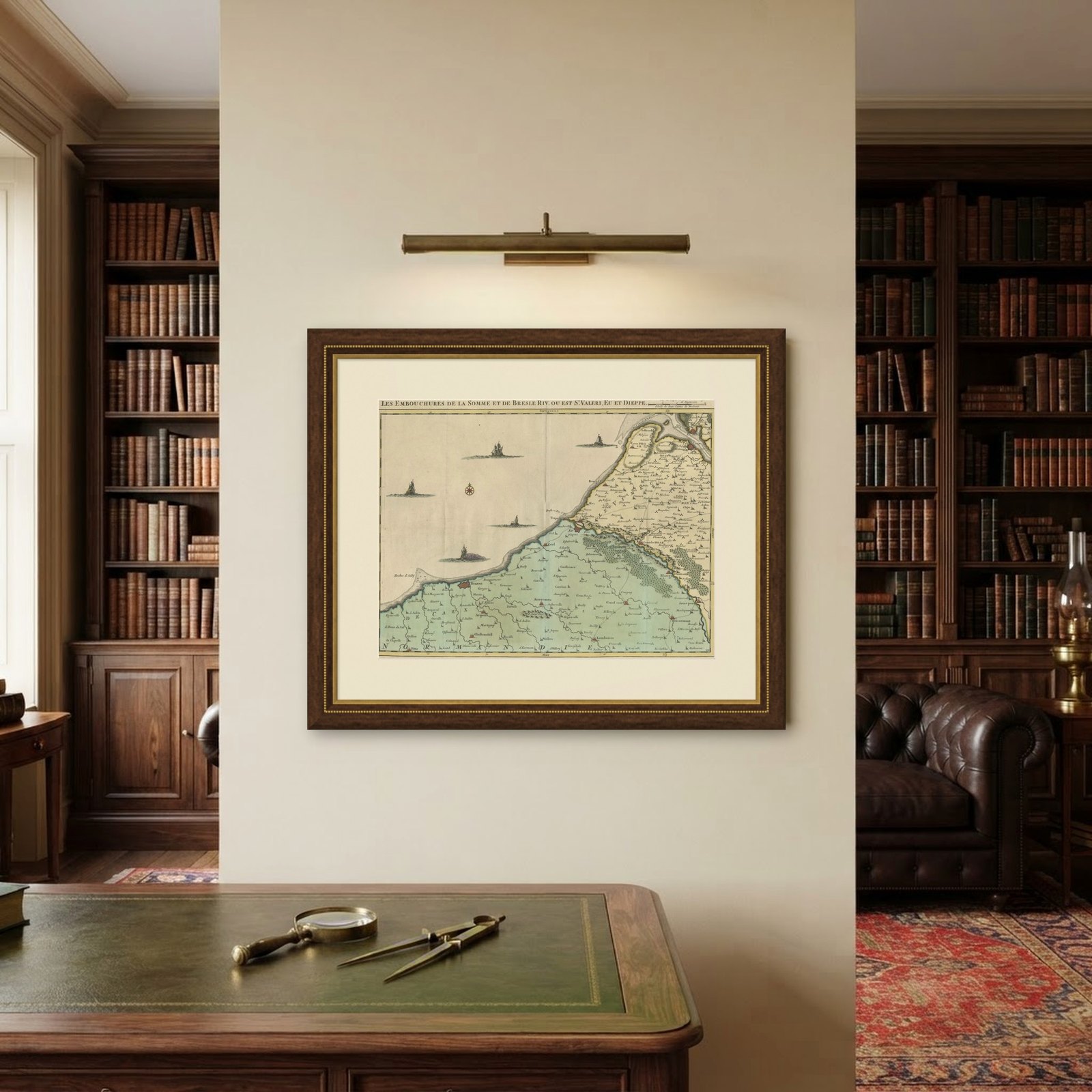
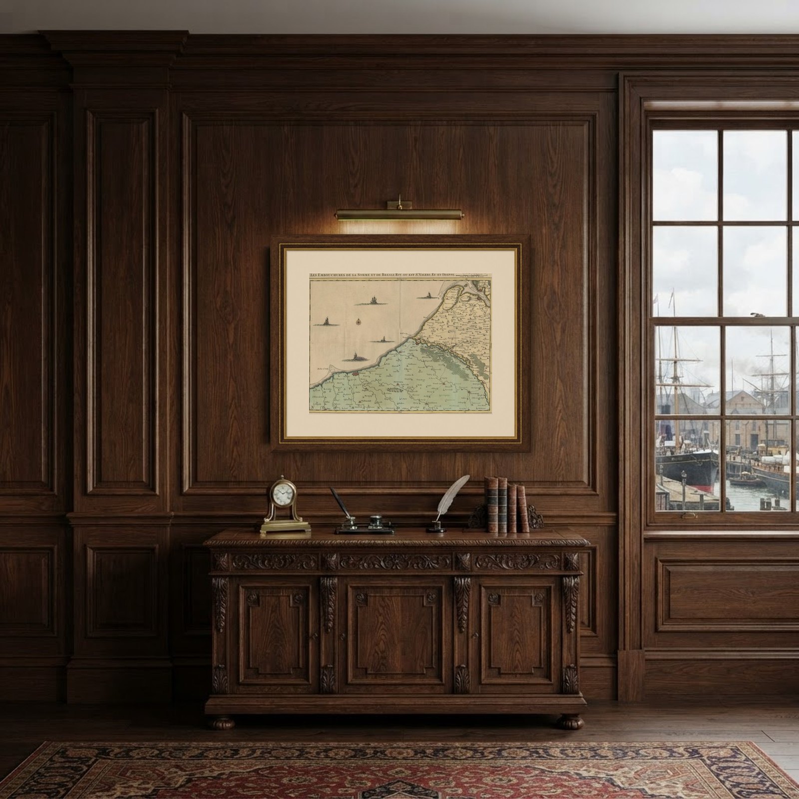
Frame and rooms are illustrations of how the piece could look; it is sold unframed unless the description says otherwise.
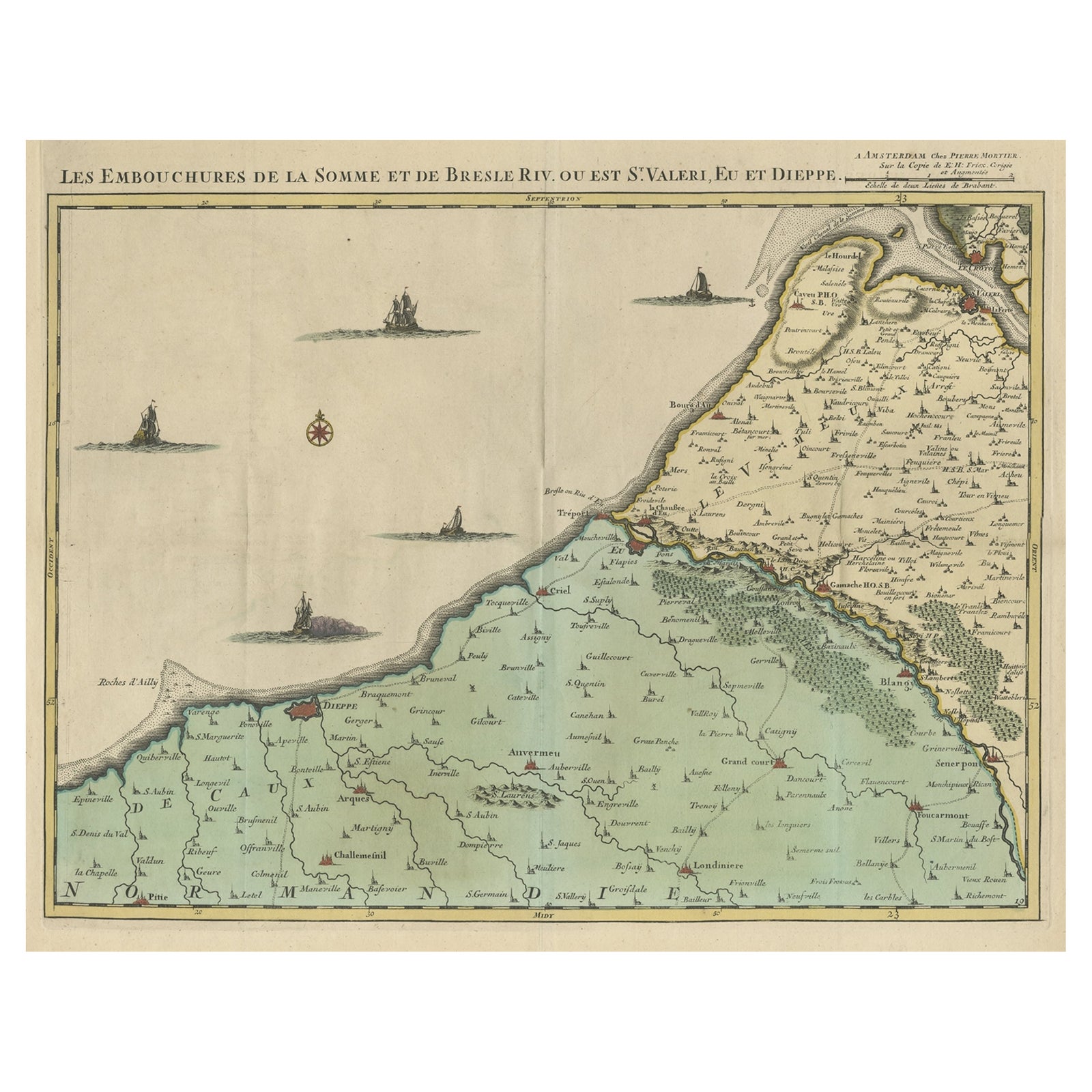
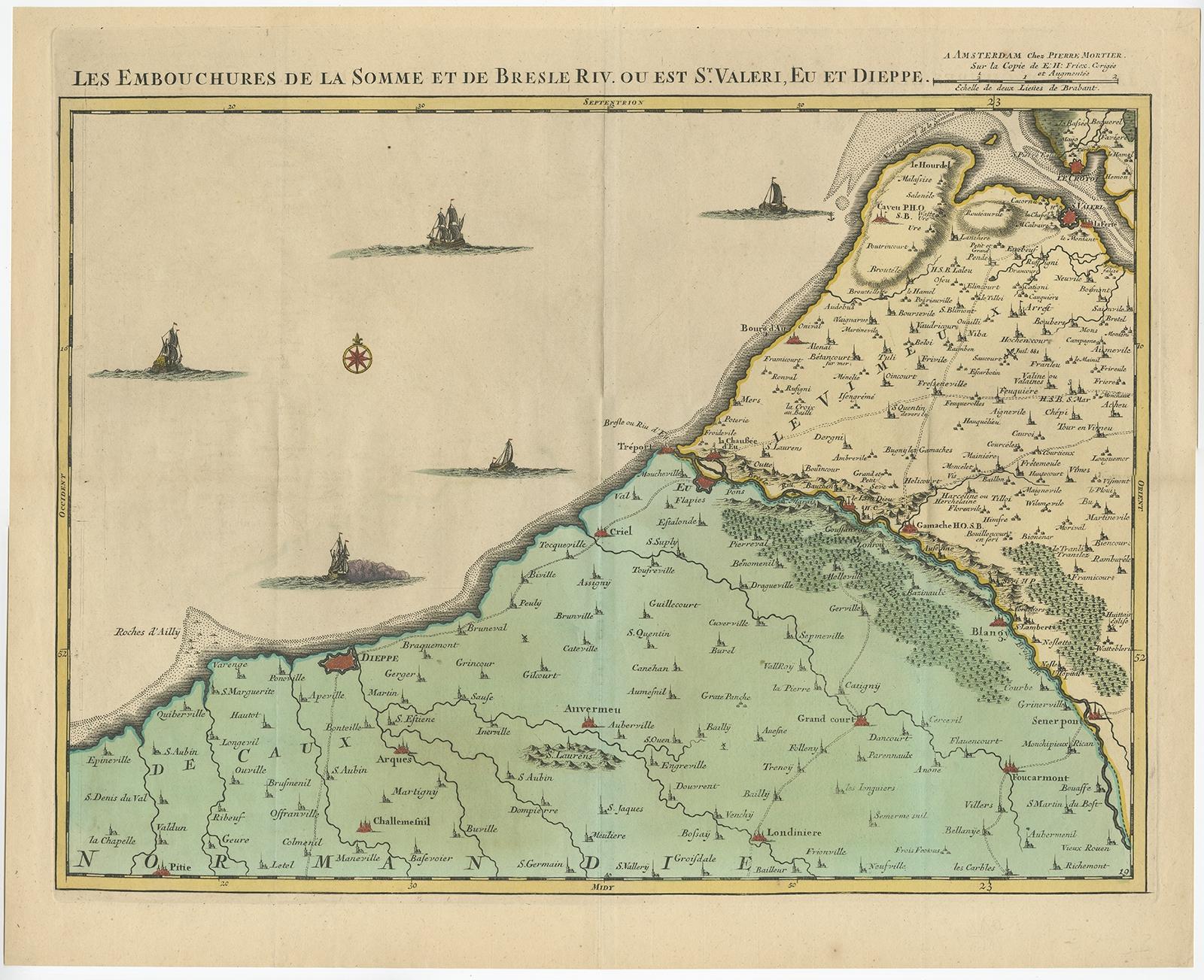
Beautiful Antique Map of the French Coast, from St. Valeri to Dieppe, 1720
$1,230
€1,100 · £930
Original print, not a reproduction.
Ships worldwide from the Netherlands, flat, insured and tracked. 14-day returns. To buy, use Ask a question and we will reserve it for you.
- Date
- 1720
- Sheet size
- 19.7 × 24 in (50 × 61 cm)
- Condition
- Very good, general age-related toning. Original/contemporary hand coloring, please study image carefully.
- Collection
- Sea charts
- Era
- 1700 to 1789, Age of discovery
- Stock no.
- f_27093102
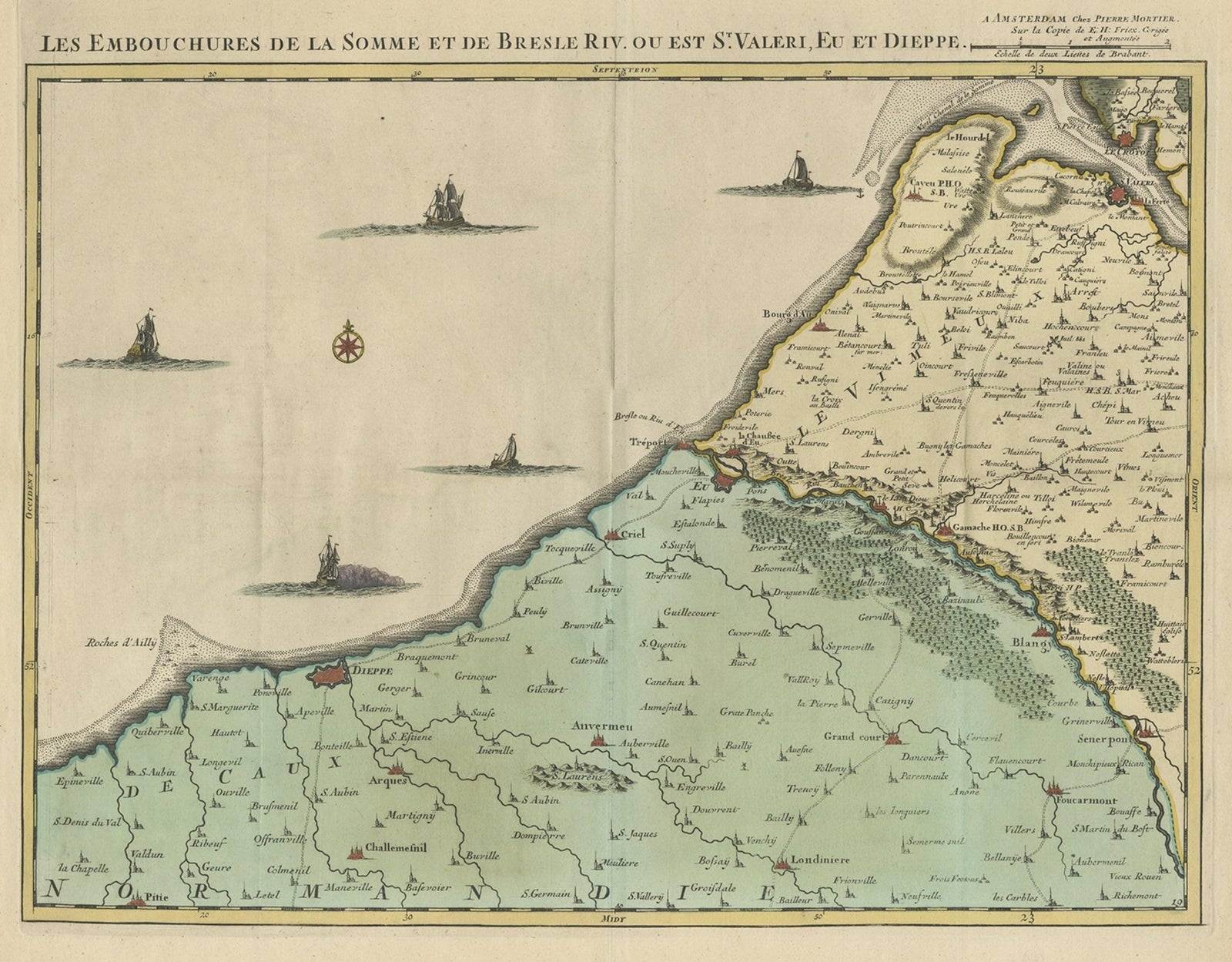
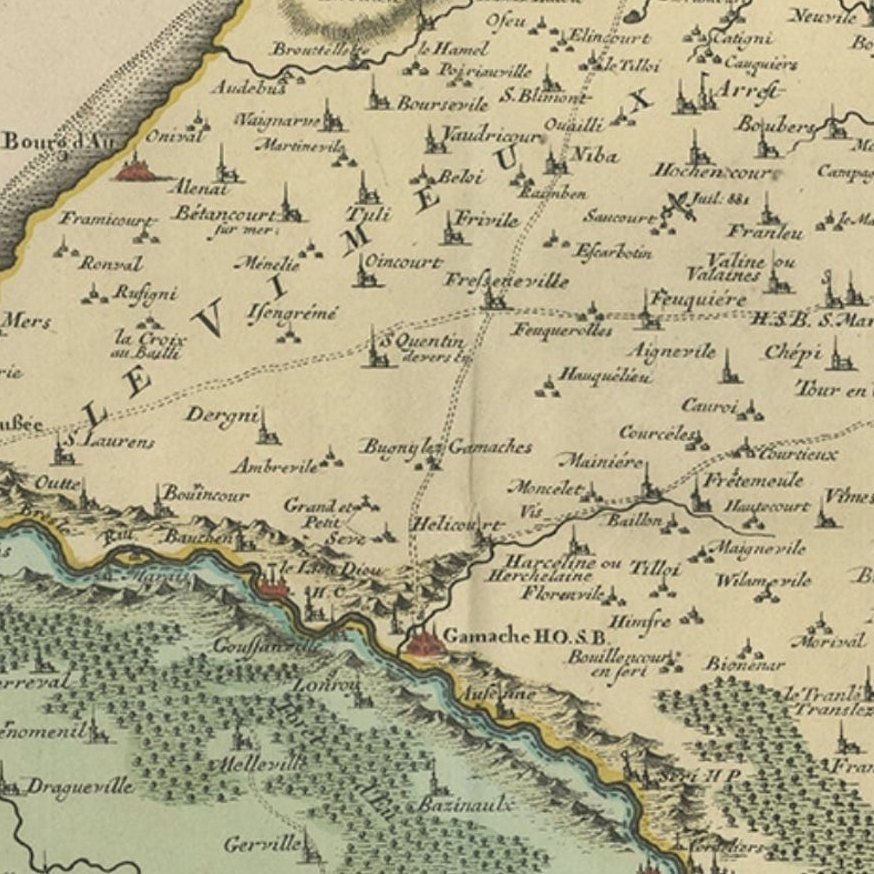
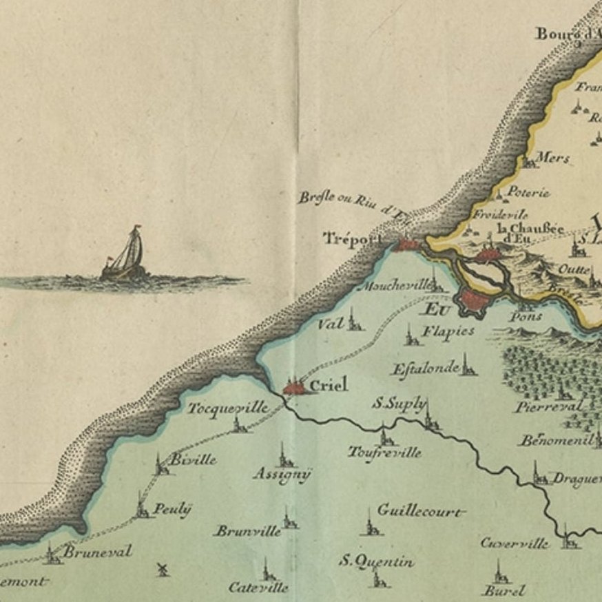
Antique map France titled 'Les Embouchures de la Somme et de Bresle Riv. ou est St. Valeri, Eu et Dieppe'.
Beautiful map of the French coast, from St. Valeri to Dieppe.
Artists and engravers: Pieter und David Mortier were booksellers in Paris and have published a wide range of geographical works. After Pieter's death, his widow continued the business until their son Cornelius took over. Cornelius started a partnership with his brother-in-law Johannes Covens and established the famous publishing house "Covens and Mortier" in Amsterdam.
EXPLORE