Close-ups
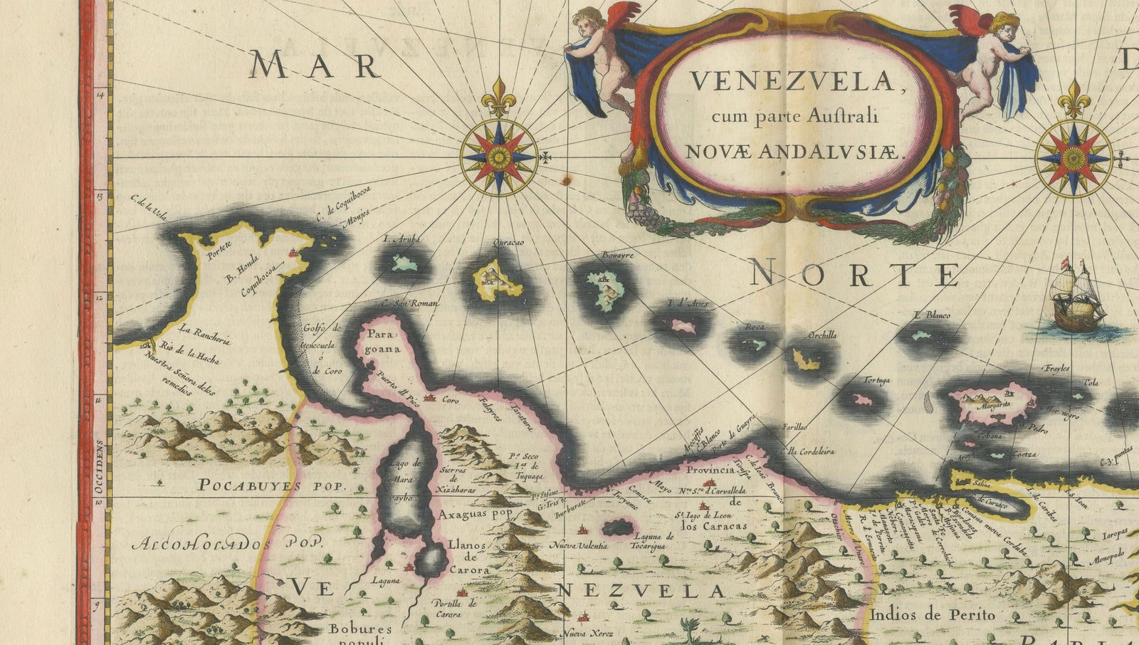
Framed and on the wall
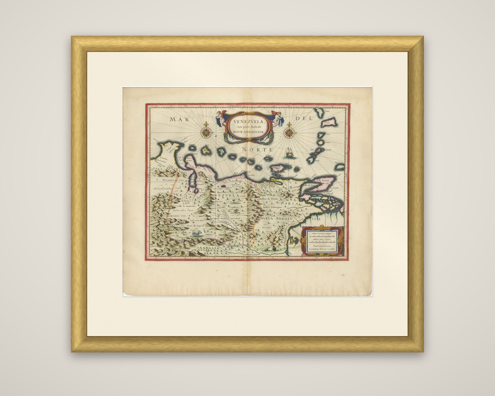
Frame and rooms are illustrations of how the piece could look; it is sold unframed unless the description says otherwise.
Blaeu Venezuela Map, Decorative Caribbean & Nueva Andalusia Chart 1642
$5,545
€4,950 · £4,195
Original print, not a reproduction.
Ships worldwide from the Netherlands, flat, insured and tracked. 14-day returns. To buy, use Ask a question and we will reserve it for you.
- Date
- 1642
- Sheet size
- 19.7 × 23.2 in (50 × 59 cm)
- Condition
- Good. Good condition for its age. Original central fold as issued. Light overall toning consistent with age. Minor wear and some faint staining, mainly in the margins. Edges slightly irregular. Colors remain strong and attractive.
- Collection
- Sea charts
- Era
- Before 1700, Dutch Golden Age
- Stock no.
- f_49741332
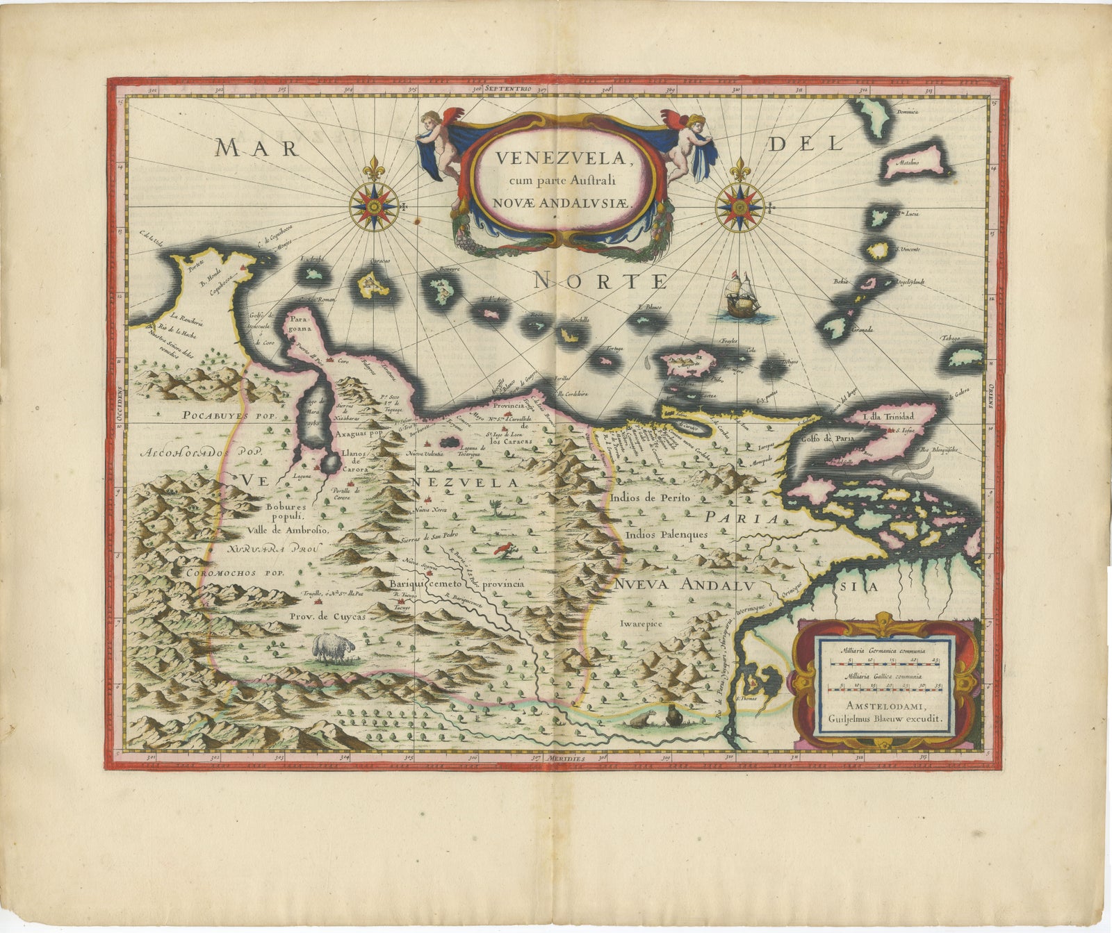
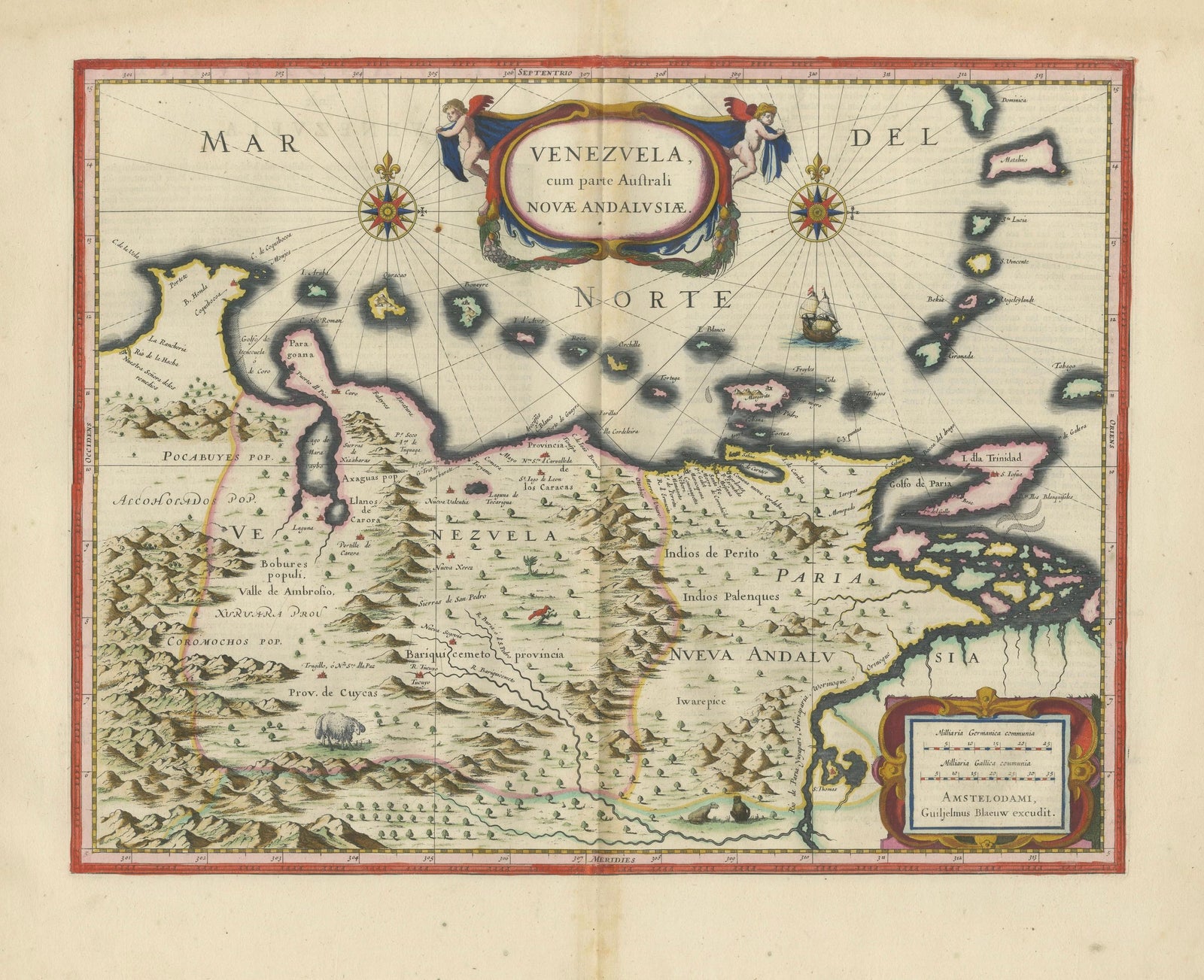
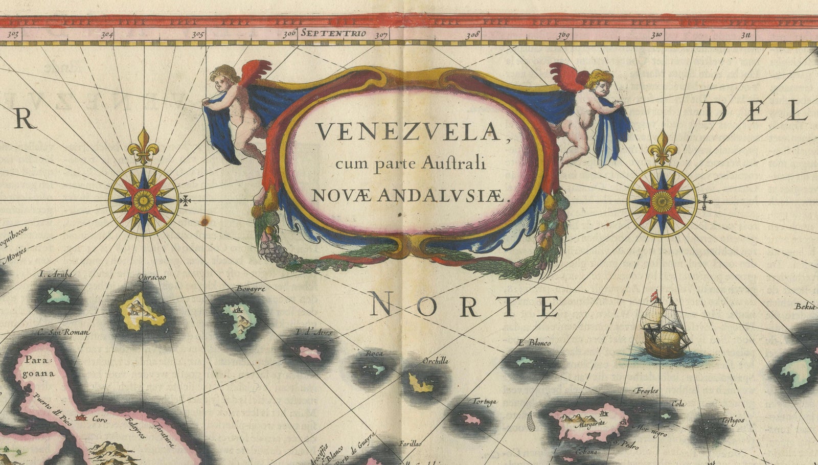
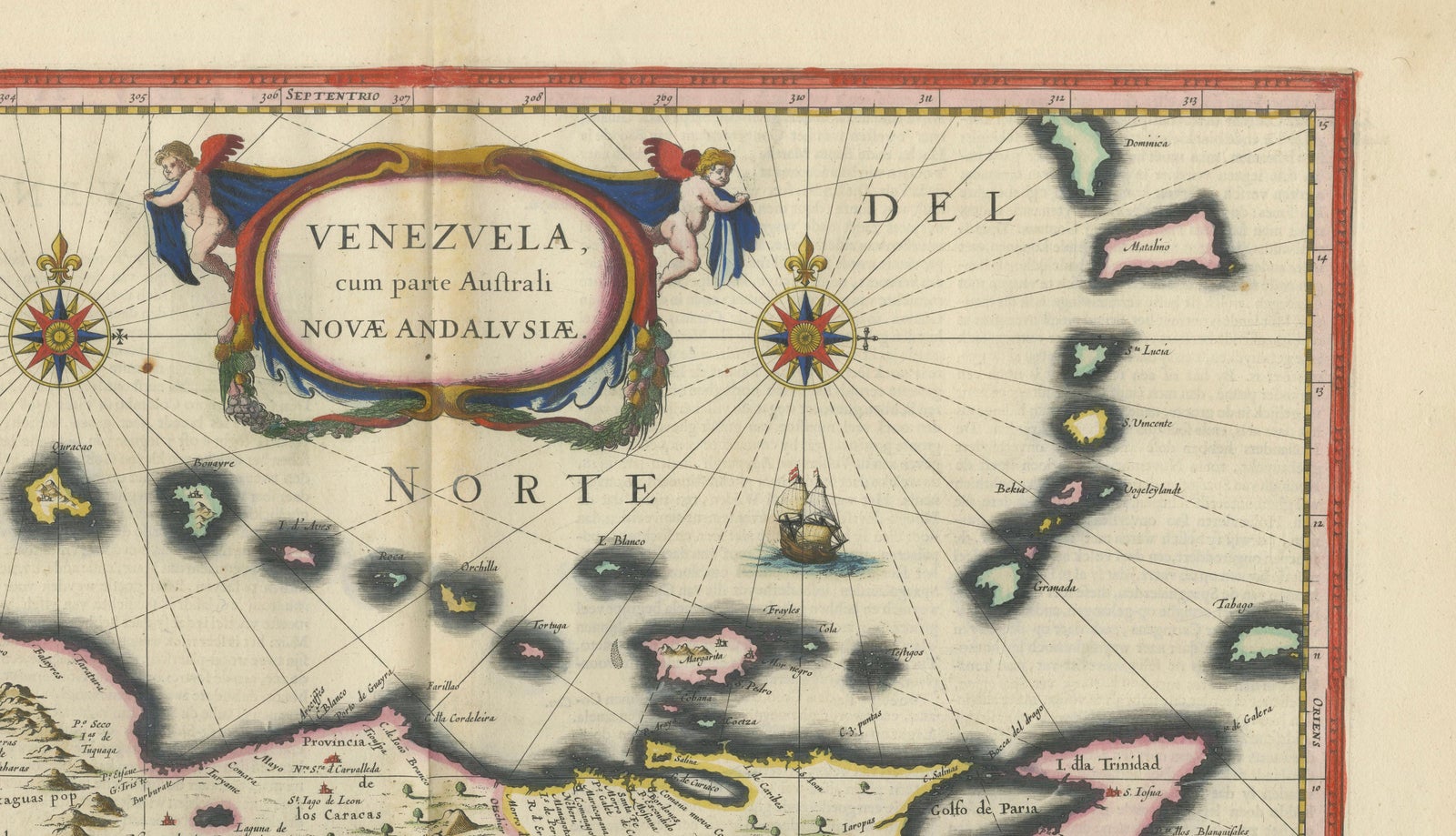
The northern coast of South America, a map titled "Venezuela, cum parte Australi Novae Andalusiae", published by Willem and Joan Blaeu in Amsterdam around 1642 in their atlas Toonneel des Aerdrycx. It is an original copper engraving with hand color.
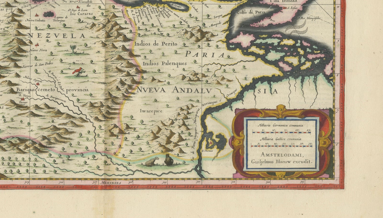
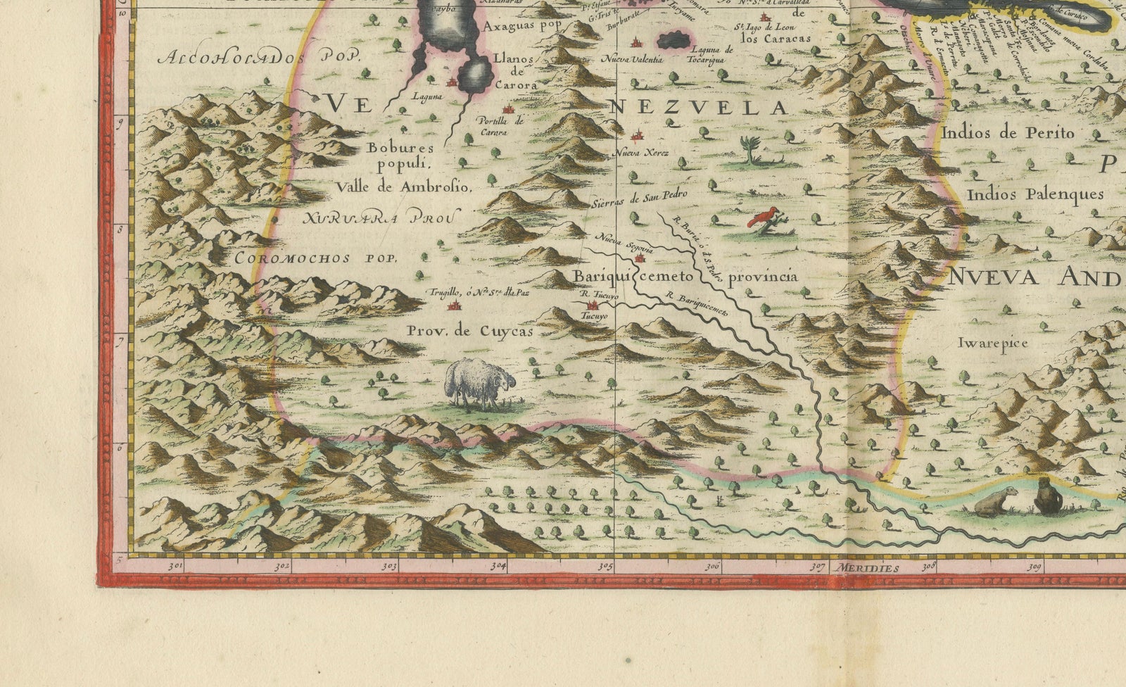
The map runs from the Gulf of Maracaibo at the left to Trinidad and the Gulf of Paria at the right, with the coast and the islands of the southern Caribbean arranged across the top in outline, among them Margarita and the Leeward islands. The mainland is shown in pictorial mountains, rivers and place names, and the provinces of Venezuela and Nueva Andalusia are named across the interior. Indian peoples are marked in the inland regions, and a bison-like animal appears in the south-west.
Two compass roses with rhumb lines stand in the Caribbean, which is lettered "Mar del Norte", and a ship sails among the islands. The title is set in a cartouche flanked by cherubs at the top, and a second cartouche at the lower right carries the scale and the Amsterdam imprint "Guiljelmus Blaeuw excudit".