Close-ups
Framed and on the wall
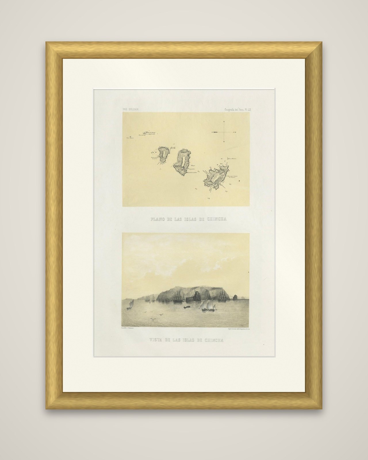


Frame and rooms are illustrations of how the piece could look; it is sold unframed unless the description says otherwise.
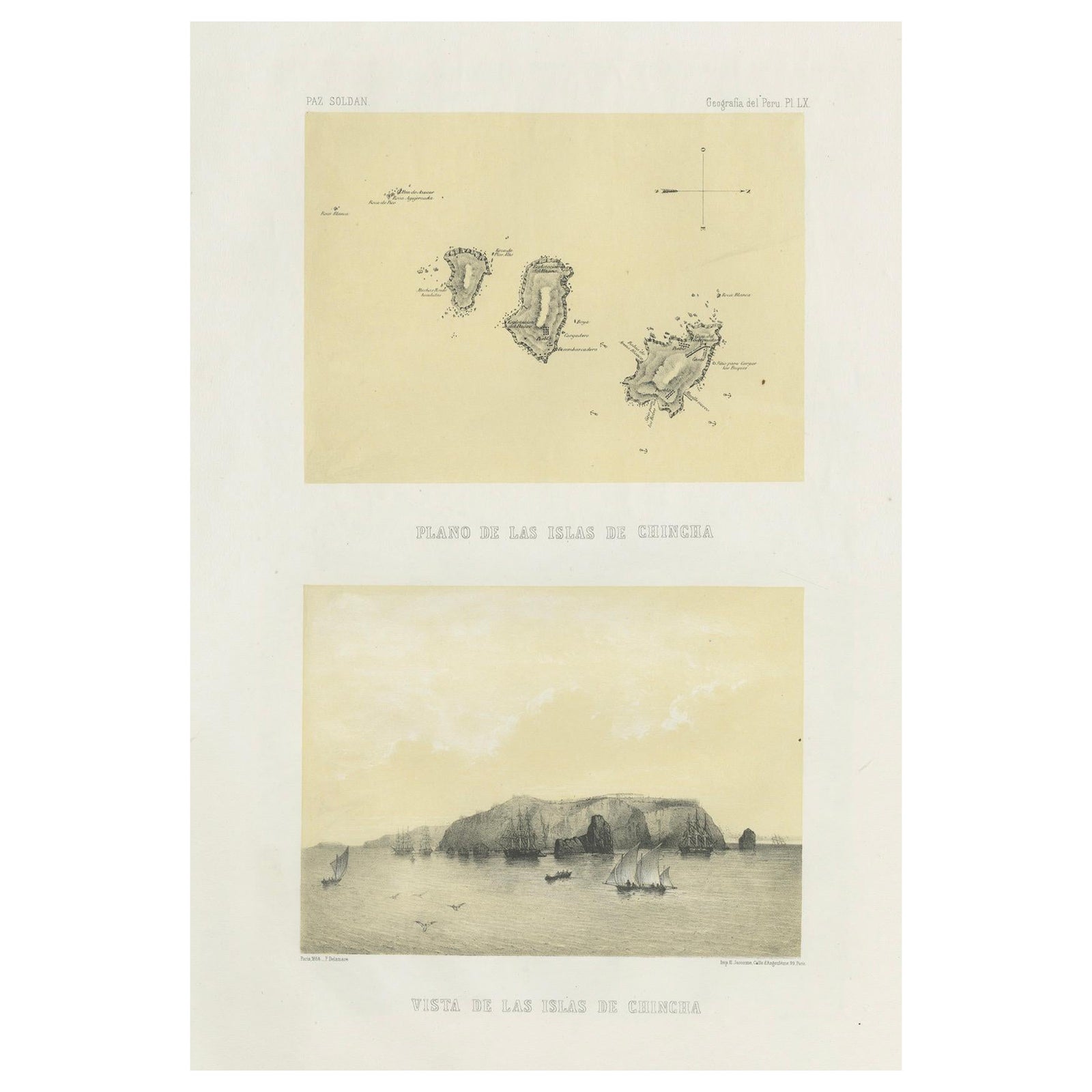
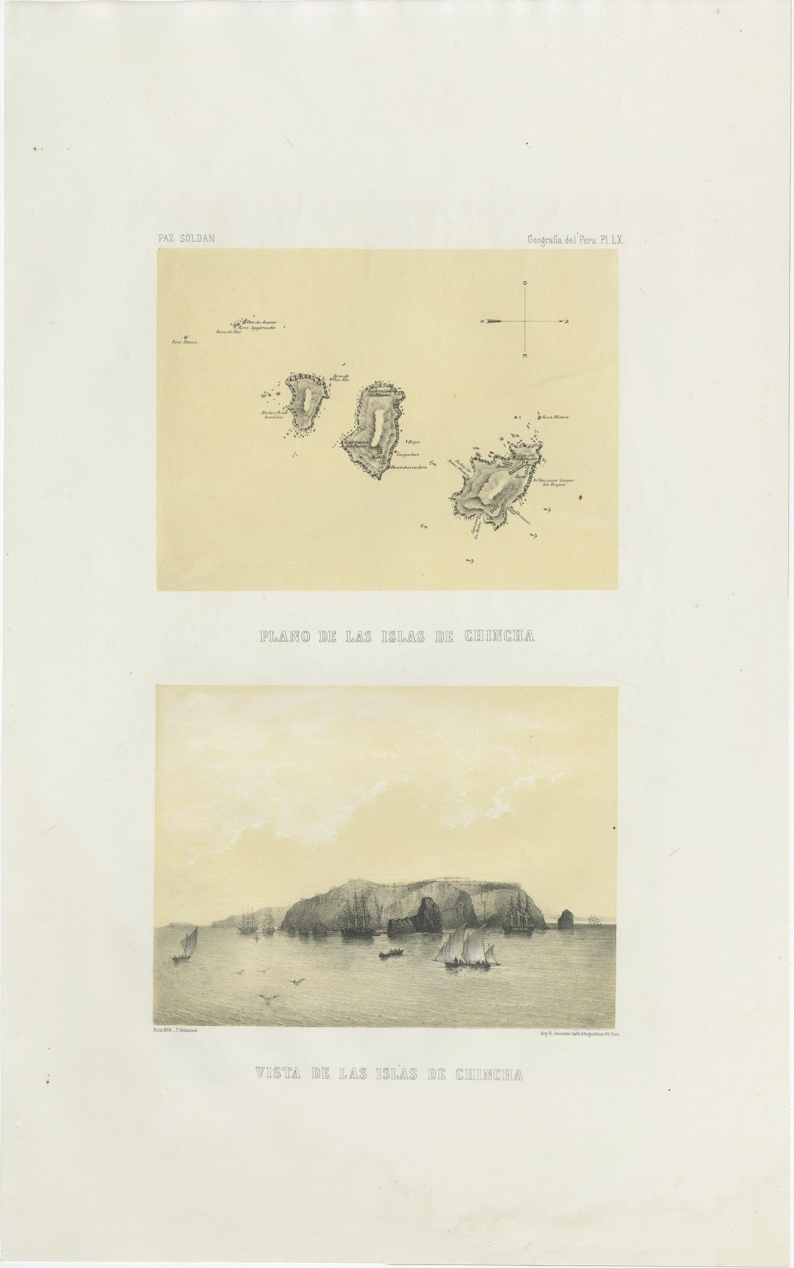
Chincha Islands Antique Lithograph 1865, Map & Coastal Scene, Peru
£455
$605 · €540
Original print, not a reproduction.
Ships worldwide from the Netherlands, flat, insured and tracked. 14-day returns. To buy, use Ask a question and we will reserve it for you.
- Date
- 1865
- Sheet size
- 20.2 × 12.8 in (51.4 × 32.4 cm)
- Condition
- Good. Very good condition. Minor age toning in margins with a few small scattered foxing spots. Image areas clean with strong impressions. Plate mark visible, wide margins preserved.
- Collection
- Sea charts
- Era
- 1850 and after, Steam and steel
- Stock no.
- f_46484692
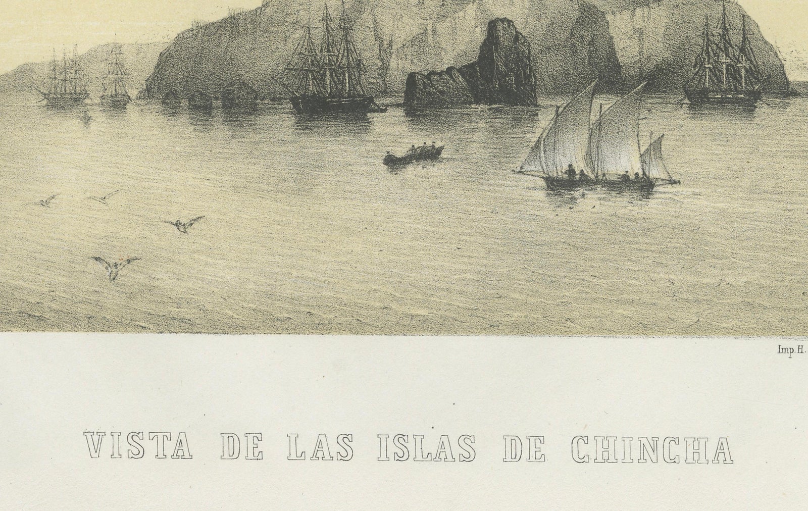
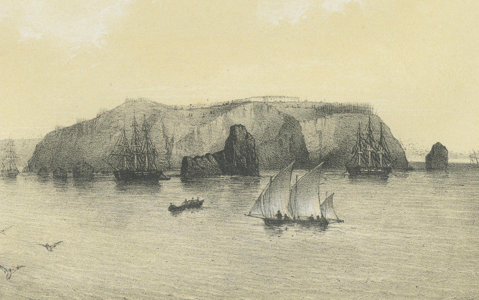
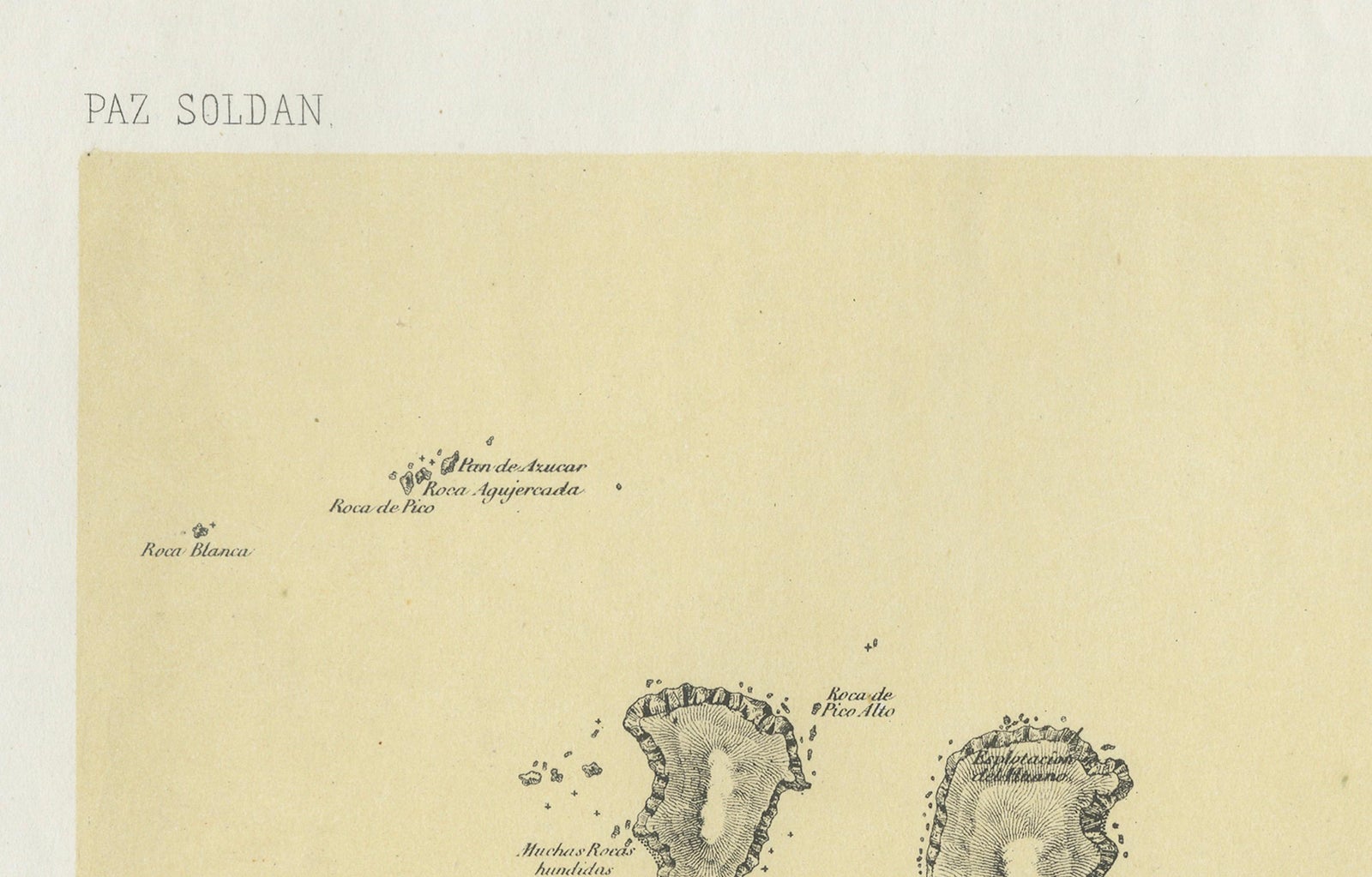
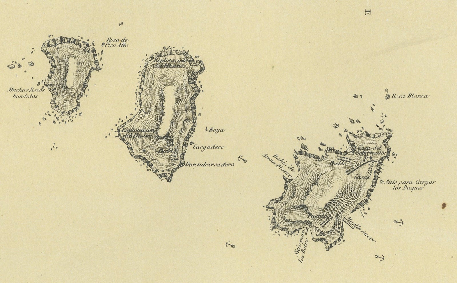
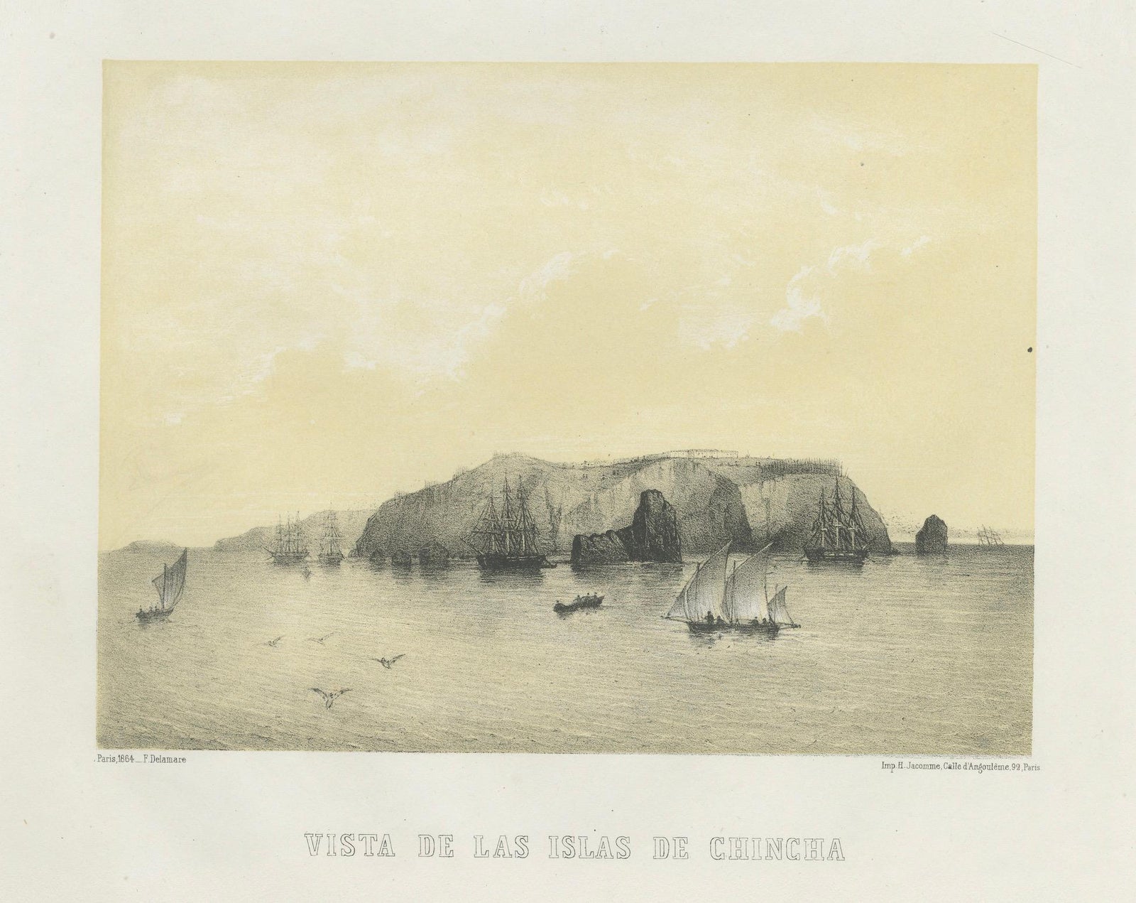
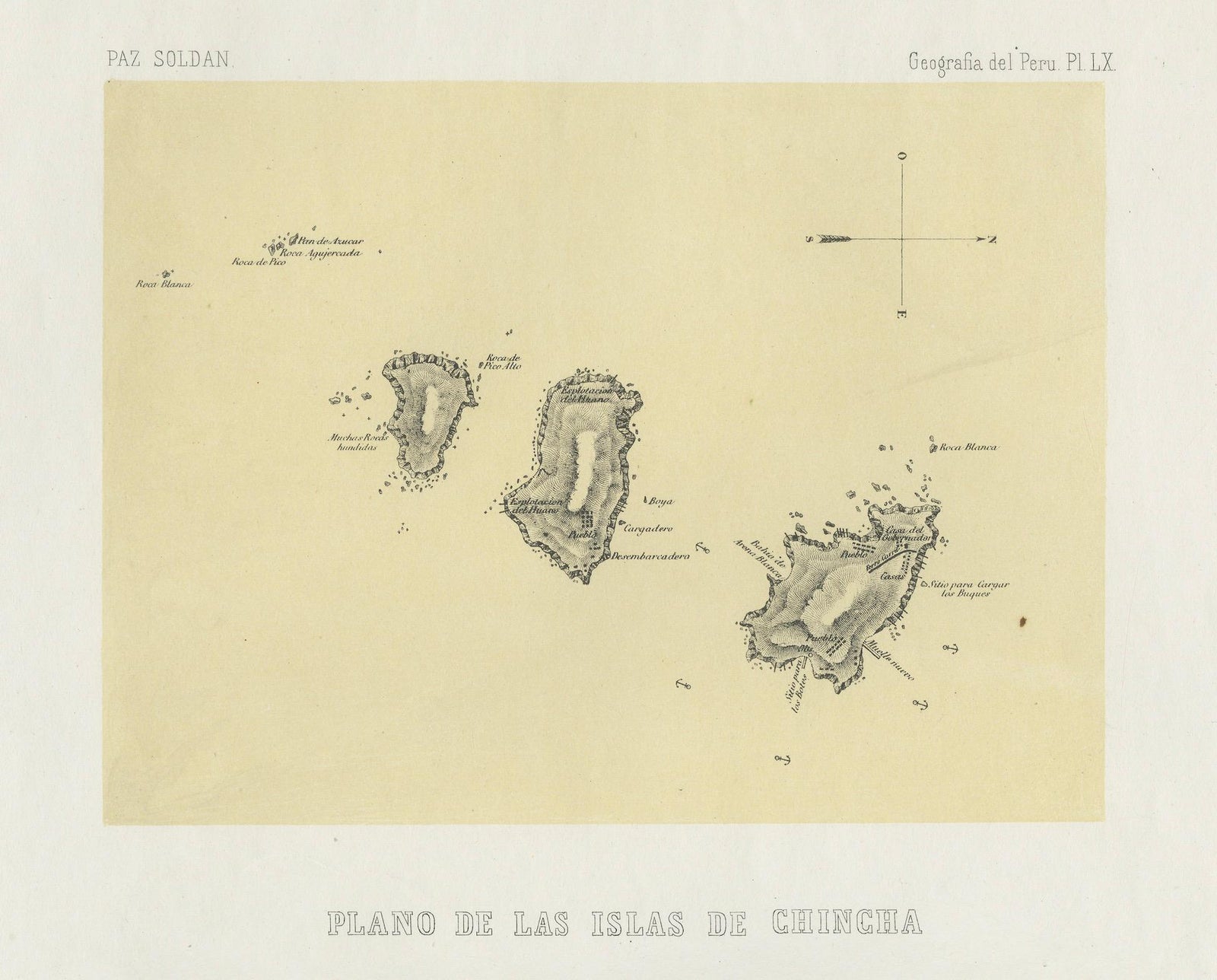
Plan and view of the Chincha Islands off the southern coast of Peru, original lithographs on one sheet from Mariano Felipe Paz Soldán's Atlas Geográfico del Perú, published in Paris in 1865, printed in sepia tints. The upper image is lettered "Plano de las Islas de Chincha" and the lower "Vista de las Islas de Chincha".
The plan shows the three principal islands as small, rugged outlines with soundings, rocks and tiny lettered notes, along with a compass mark at the upper right. The view below looks across open water to the long, steep-sided mass of the islands, with sailing ships and smaller boats clustered along the foot of the cliffs and a few birds in the sky.
The Chincha Islands held the guano deposits that made the fertilizer trade a pillar of the Peruvian economy in the mid-19th century, and pairing a chart with a prospect of the islands shows how they were approached by ship. The atlas, printed in Paris by Lemercier, was the first comprehensive national atlas of Peru, combining maps, plans and views of its cities, ports and landscapes.
EXPLORE