Close-ups
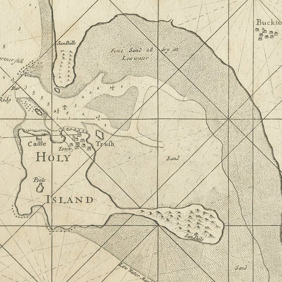
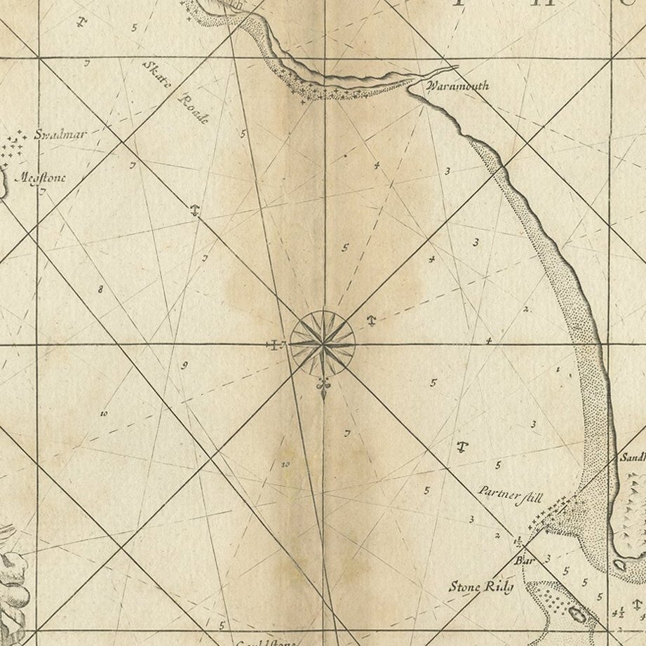
Framed and on the wall
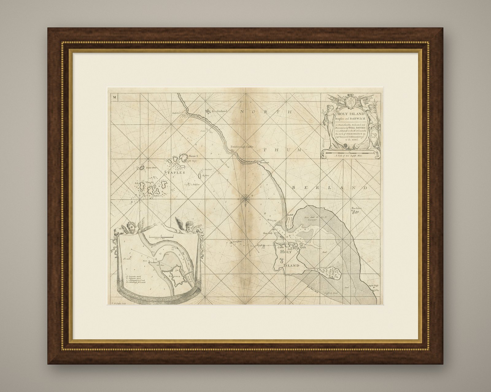
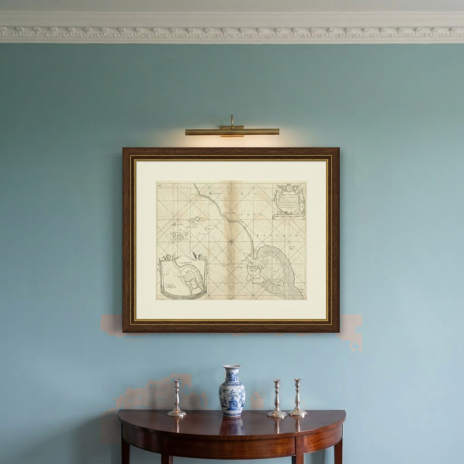
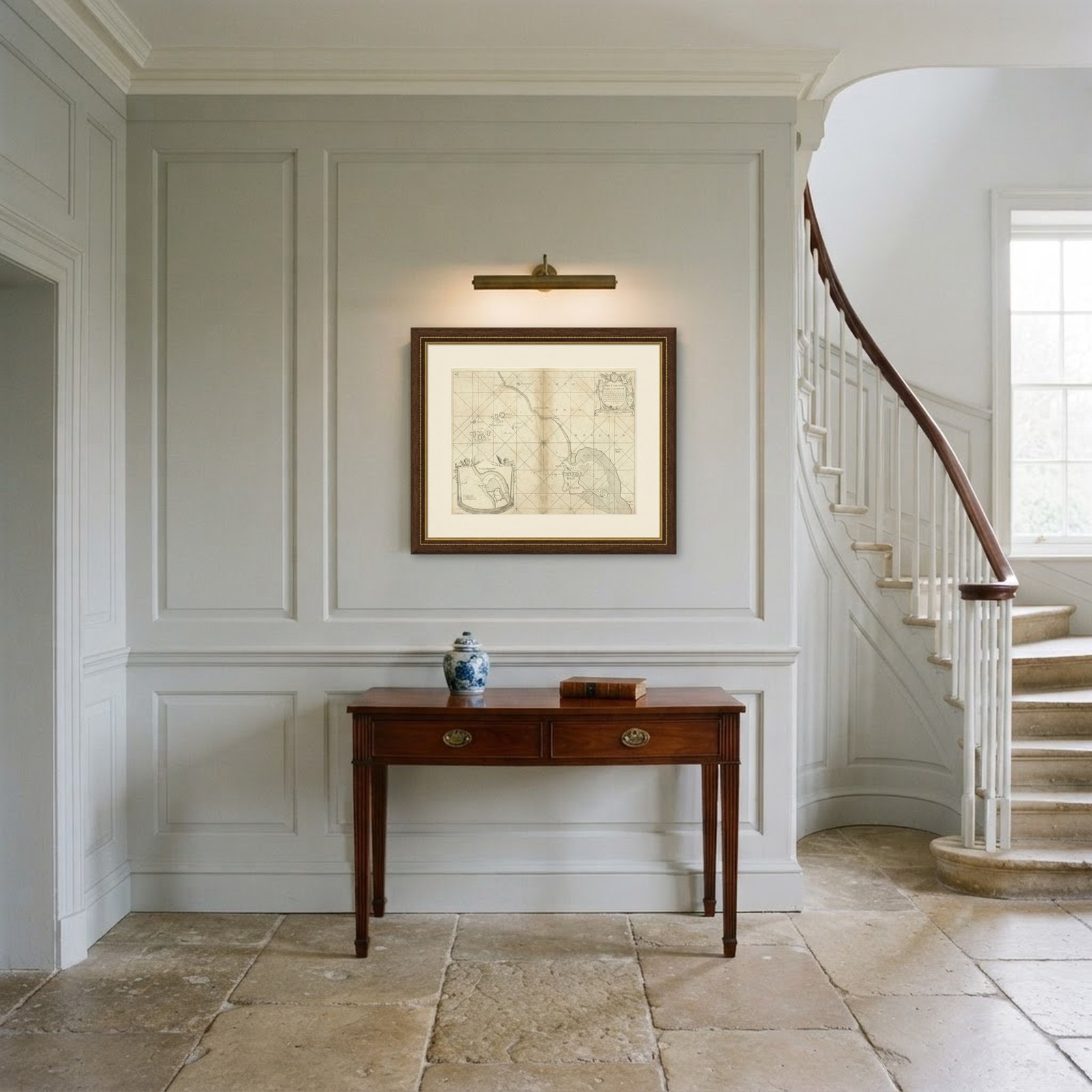
Frame and rooms are illustrations of how the piece could look; it is sold unframed unless the description says otherwise.
Coast of Northumberland, England, Incl the Holy & Farne Islands, Etc, 1693
$425
€380 · £320
Original print, not a reproduction.
Ships worldwide from the Netherlands, flat, insured and tracked. 14-day returns. To buy, use Ask a question and we will reserve it for you.
- Date
- 1693
- Sheet size
- 19.1 × 23.6 in (48.5 × 60 cm)
- Condition
- Browning in the middle fold. Some paper loss in the lower margin, backed with contemporary paper and acid-free archival tape. With some clusters of faint spots in the image and margins. A small crease in the lower right margin.
- Collection
- Sea charts
- Era
- Before 1700, Dutch Golden Age
- Stock no.
- f_26973042
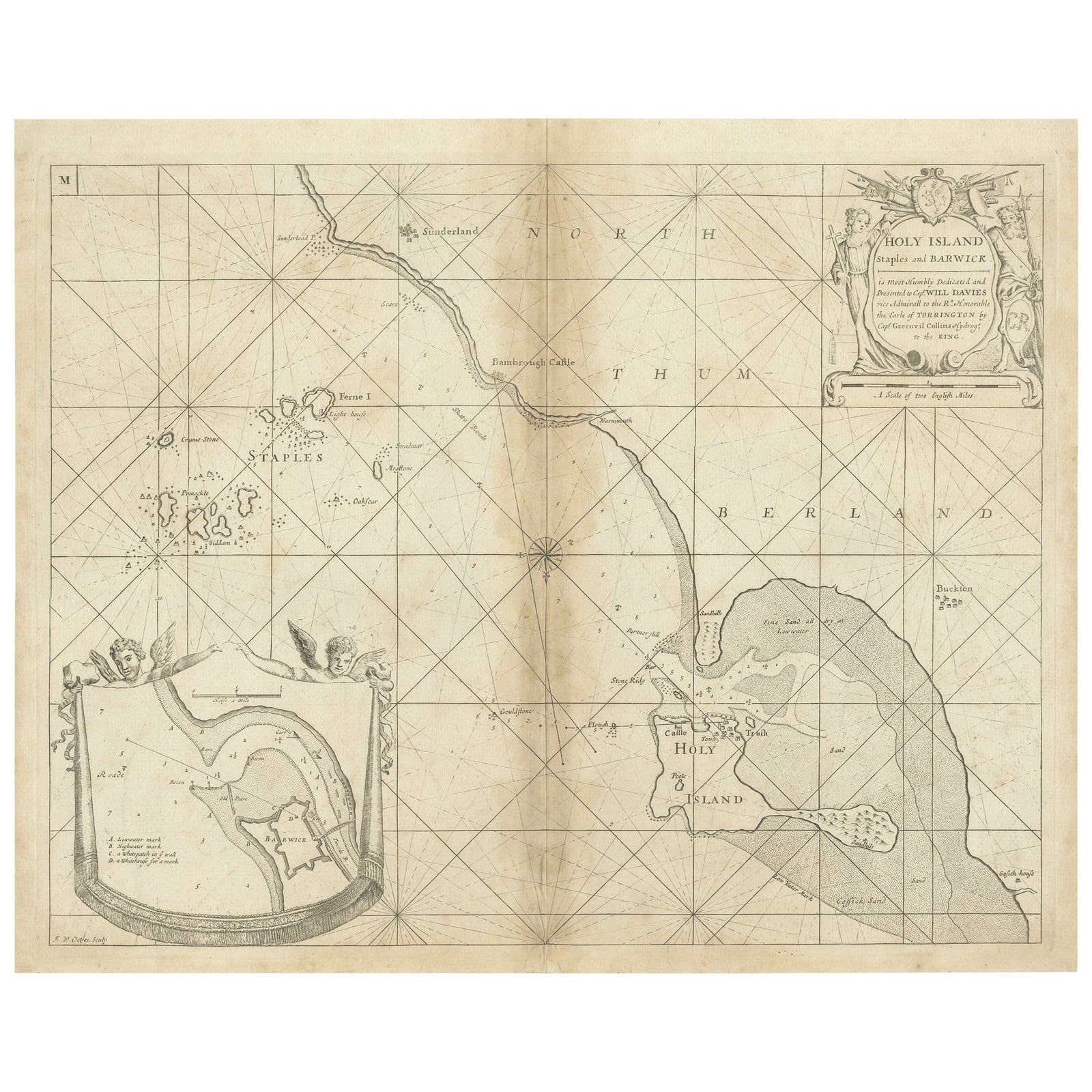
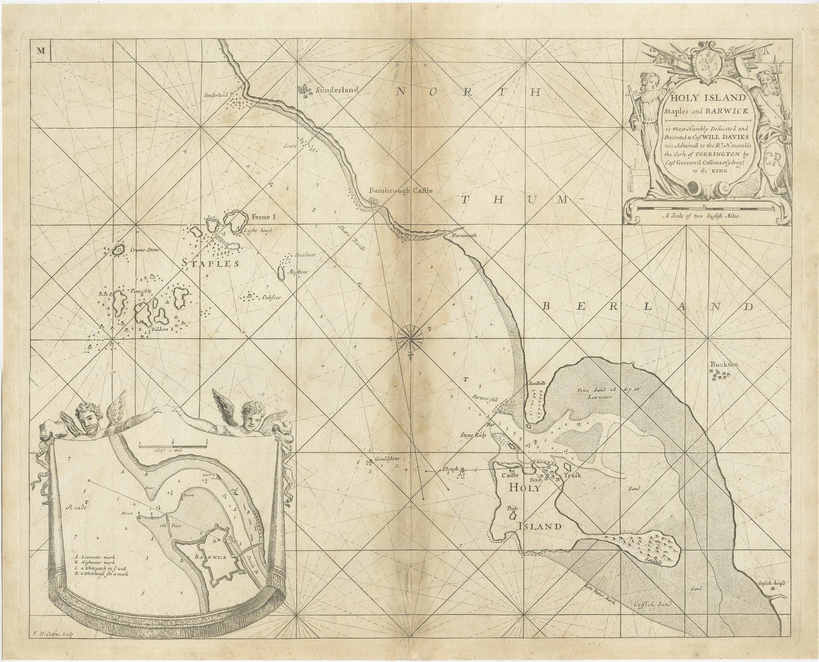
Antique map titled 'Holy Island, Staples and Barwick.'
A map of the coast of Northumberland, England. This map includes Holy Island, Buckton, Sunderland and the Farne Islands. The map includes soundings, anchorages, shoals, and rocks. An inset map (help up by two putti) shows the surroundings of Berwick, with the mouth of Tweed River. The island indicated on Holy Island is Lindisfarne Castle. The map is South oriented. From Greenvile Collins' 'Great Britain's Coasting Pilot', published by Richard Mount: 1693.
Artists and Engravers: Engraved by 'F.W. Oetjes' after 'Greenvile Collins'. Greenvile Collins (1643-1694) was an officer of the Royal Navy and prominent hydrographer, who compiled Great Britain's 'Coasting Pilot', the first survey of the country's coast undertaken by a Briton.