Close-ups
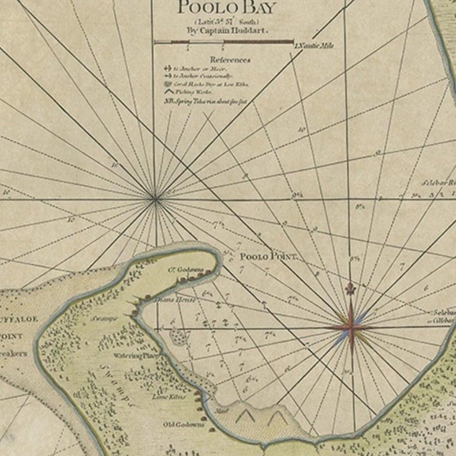
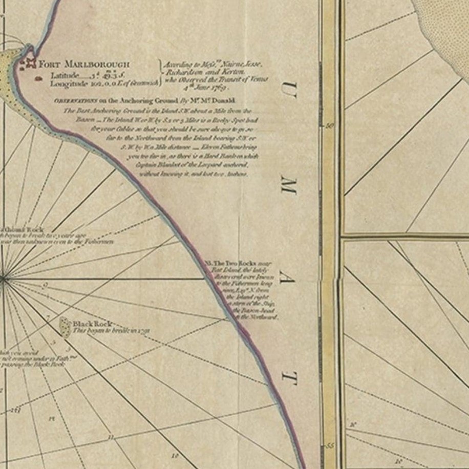
Framed and on the wall
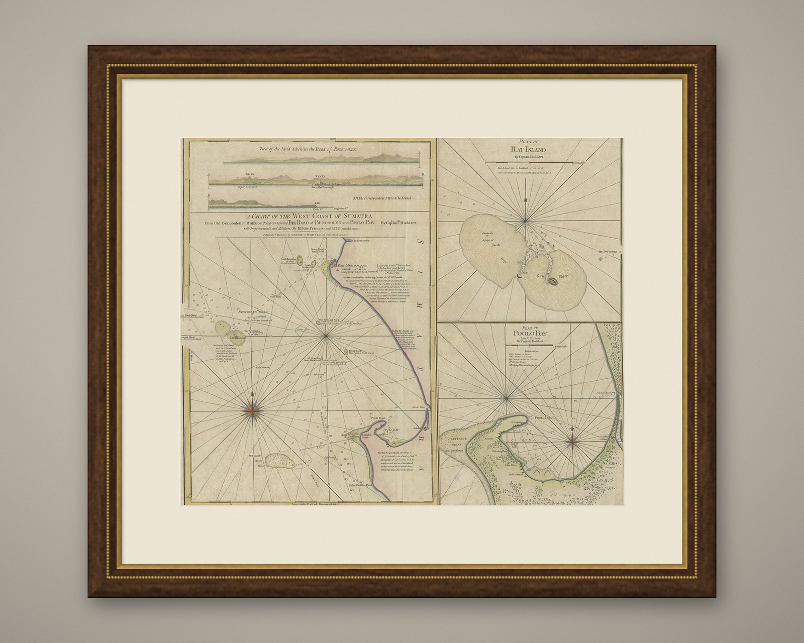
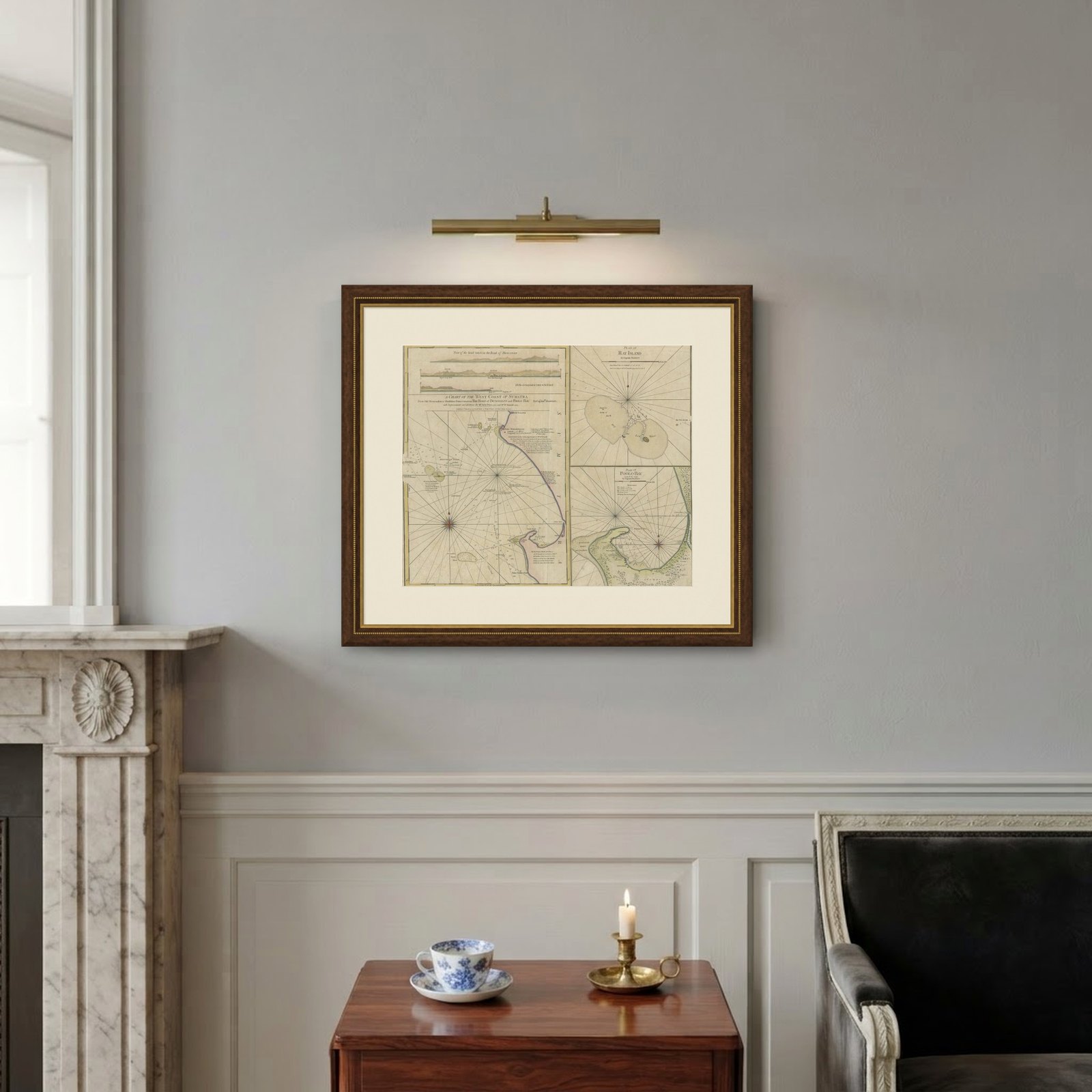

Frame and rooms are illustrations of how the piece could look; it is sold unframed unless the description says otherwise.
Early Chart Identifying British Spice Trading Colony of Bencoolen, Sumatra, 1797
$1,400
€1,250 · £1,060
Original print, not a reproduction.
Ships worldwide from the Netherlands, flat, insured and tracked. 14-day returns. To buy, use Ask a question and we will reserve it for you.
- Date
- 1797
- Sheet size
- 22.6 × 28 in (57.5 × 71 cm)
- Condition
- Good. Minor fading.
- Collection
- Sea charts
- Era
- 1790 to 1849, Age of sail
- Stock no.
- f_26707252
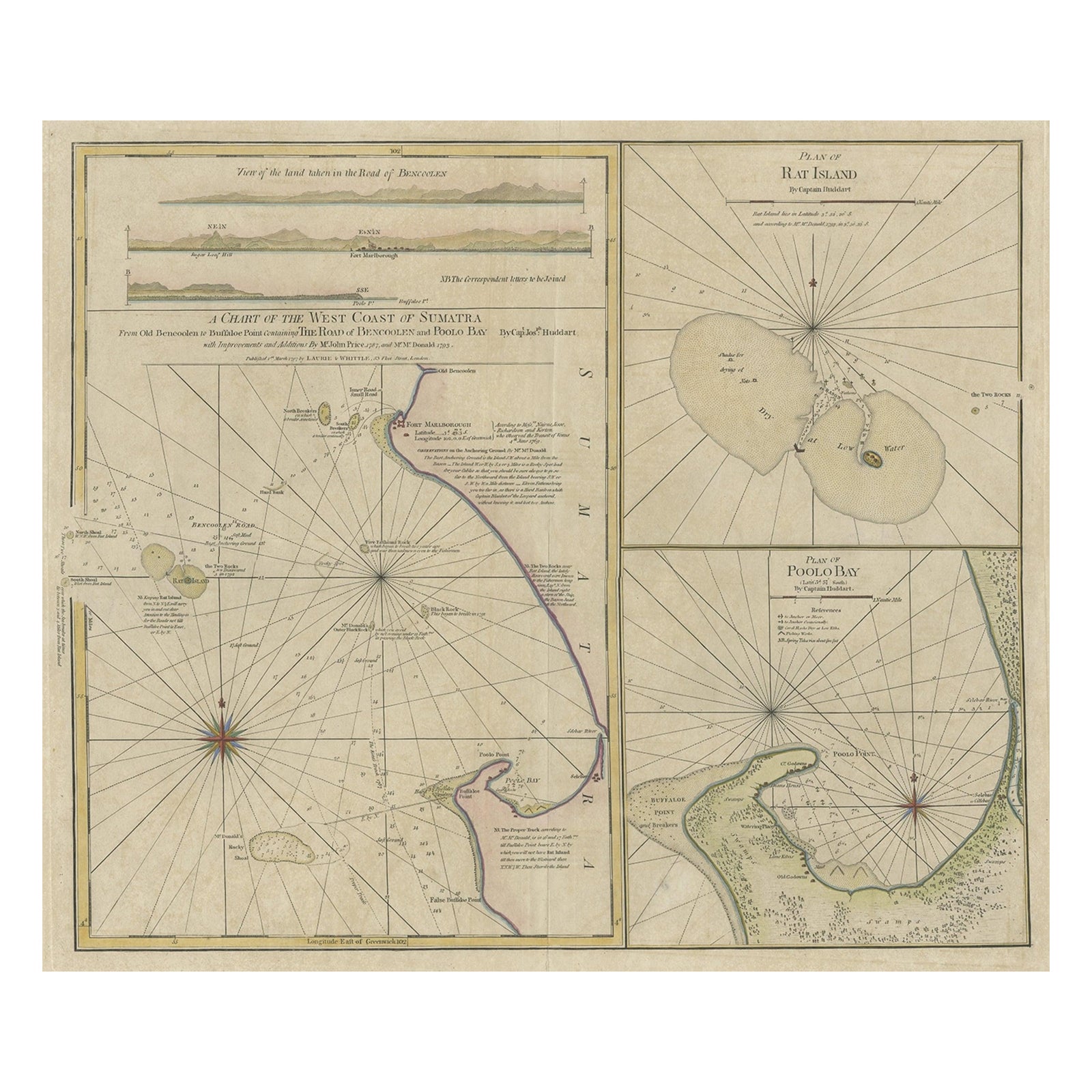
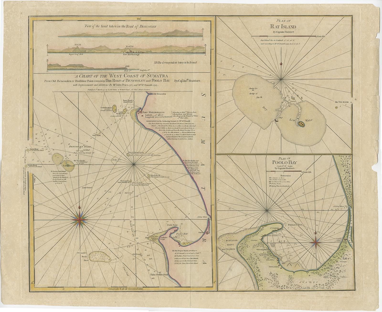
Antique map titled 'A Chart of the West Coast of Sumatra'.
Early nautical chart identifying the British spice trading colony of Bencoolen and Fort Marlborough, Sumatra. The map is divided into three sections, the left hand side being a general nautical chart of the approaches to Bencoolen and Fort Marlborough, the right hand plans are details of Rat Island and Poolo Bay. Bencoolen (Bengkulu) was established as a pepper-trading center by the British East India Company in 1685. By the time this map was drawn Bencoolen has been renamed 'Old Bencoolen,' being superseded in 1714 by Fort Marlborough just to the south. The map offers considerable detail on the approaches to Bencoolen for which Rat Island (top right submap) is an important marker, as well as a staging post were vessels could dry anchor and dry nets. Poolo Bay (Pulau Bay) (bottom right submap), some seven miles south of Fort Marlborough, was at the time an excellent harbor and anchorage.
Laurie and Whittle prepared this chart for their 1799 issue of the East-India Pilot. Though most charts in the East-India Pilot were derived from earlier maps prepared for Jean-Baptiste d'Apres de Mannevillette's 1745 Neptune Oriental, this particular chart is a new production unique to Laurie and Whittle.
Artists and Engravers: Laurie and Whittle (fl. 1794, 1858) were London, England, based map and atlas publishers active in the late 18th and early 19th century
Condition: Good, general age-related toning. Minor wear and a few tears in the margins. Please study image carefully.