Close-ups
Framed and on the wall
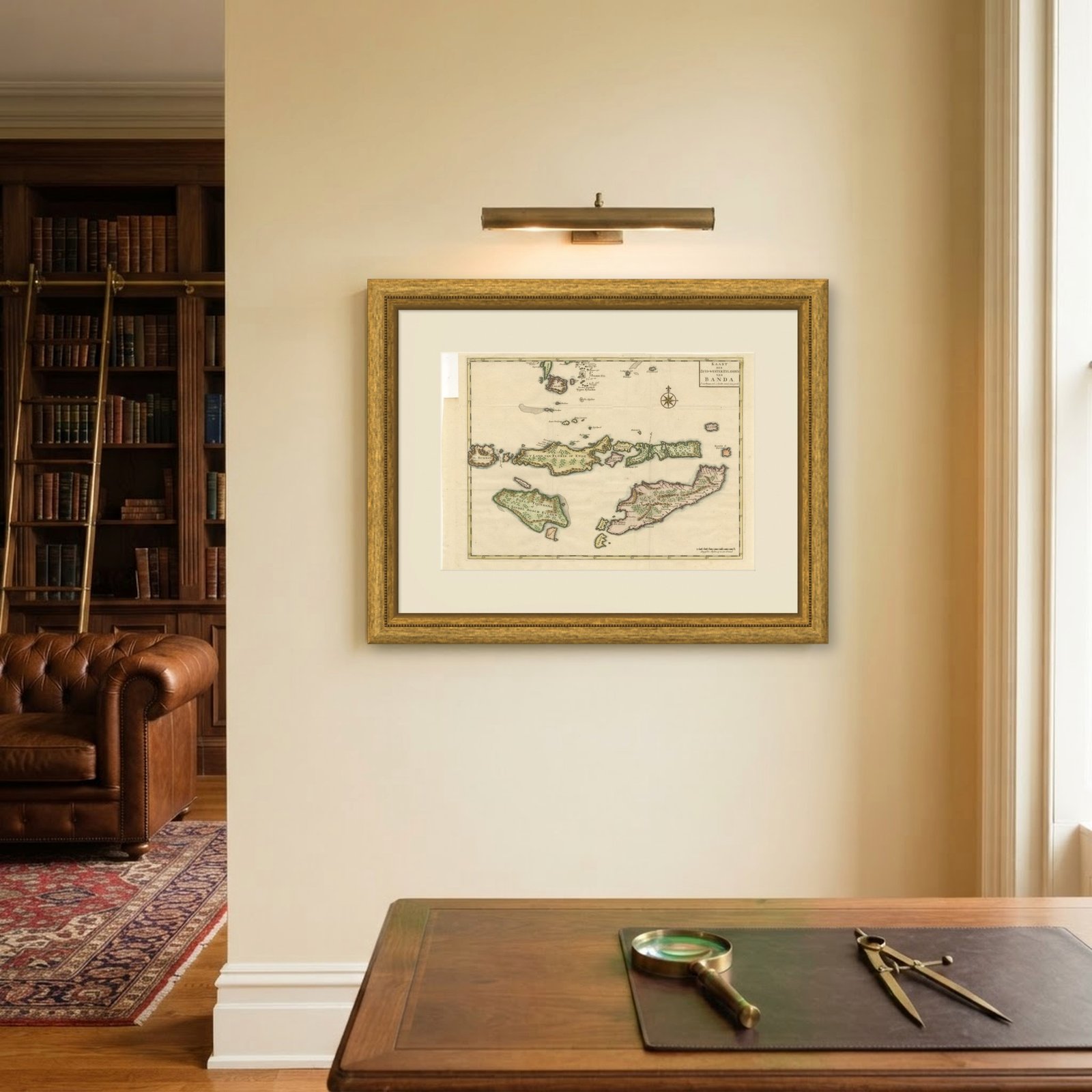
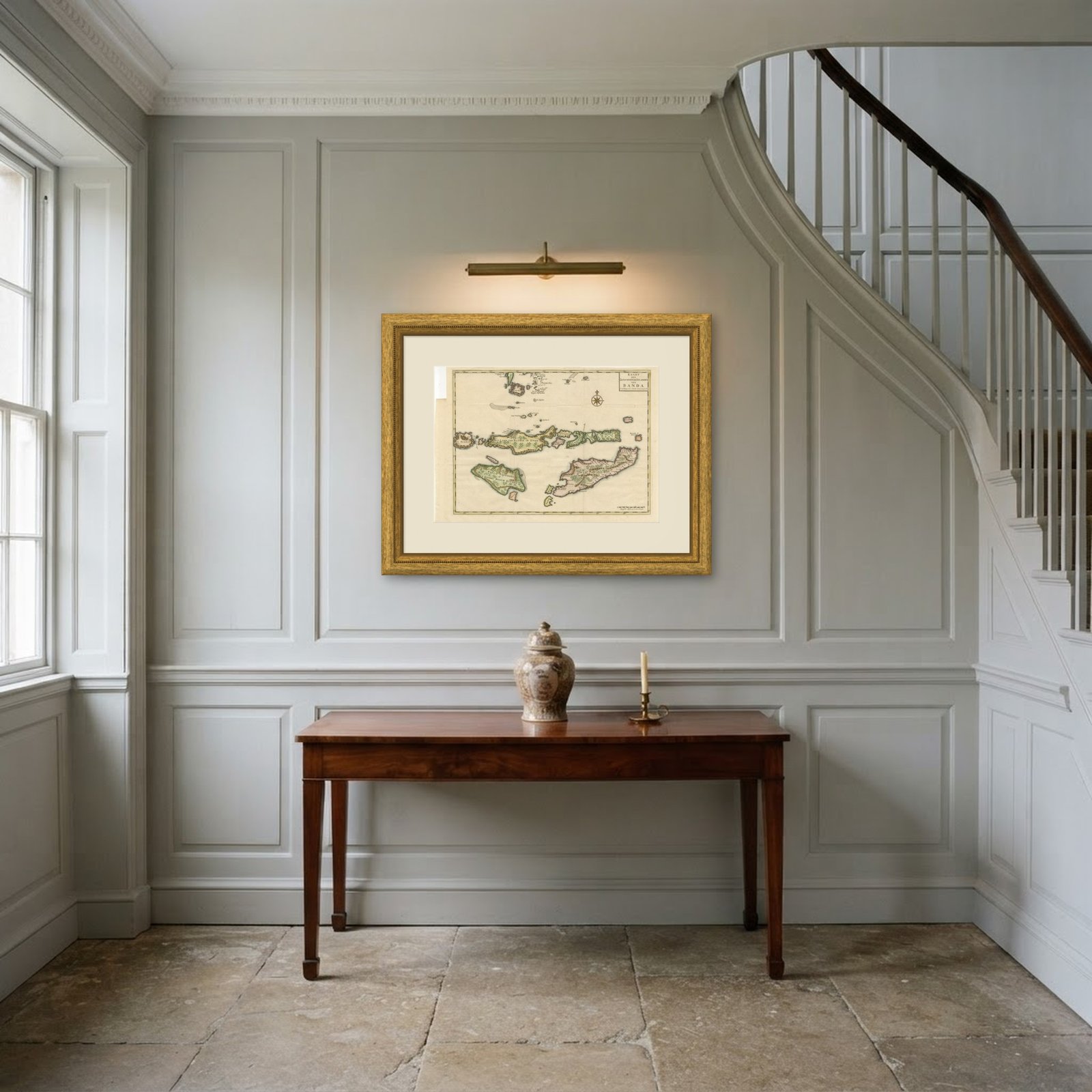
Frame and rooms are illustrations of how the piece could look; it is sold unframed unless the description says otherwise.
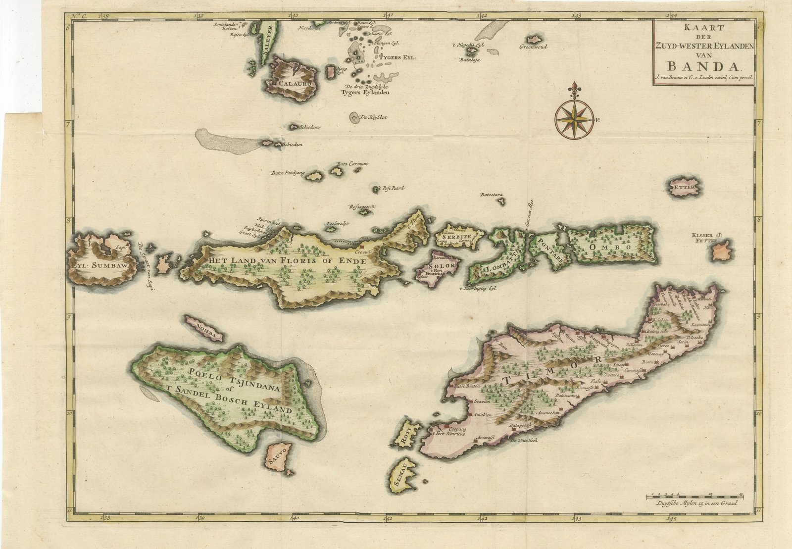
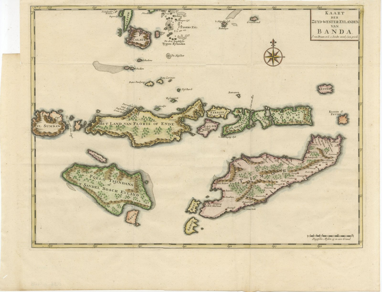
Hand-Colored Chart of Timor, Solor and the Southwest Banda Islands, 1726
£370
$490 · €440
Original print, not a reproduction.
Ships worldwide from the Netherlands, flat or rolled, insured and tracked. 14-day returns.
- Date
- 1724-1726
- Sheet size
- 16.1 × 20.1 in (41 × 51 cm)
- Technique
- Copper Engraving
- Coloring
- Original hand color
- Condition
- Good. Loss or wear at the top left corner. The top edge is uneven in one place. Light uneven toning, browner towards the edges. Handling soiling along the bottom edge. Scattered foxing in the margin.
- Collection
- Sea charts
- Era
- 1700 to 1789, Age of discovery
- Stock no.
- M1610
What the condition grades mean
- Excellent
- Bright and clean, with no faults worth mentioning.
- Very good
- Only light signs of age, such as faint toning.
- Good
- Normal signs of age for a sheet of this period: toning, some foxing, small marks or neat old repairs.
- Fair
- Clear faults such as staining, tears or repairs, priced to match.
Every fault we see is written in the condition note, and the whole sheet is shown uncropped in the photos.
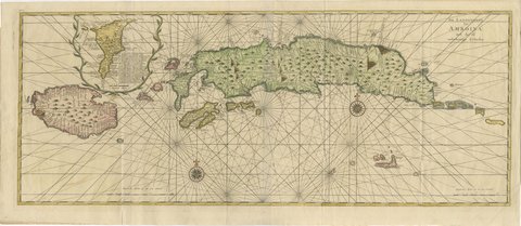
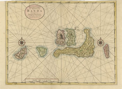
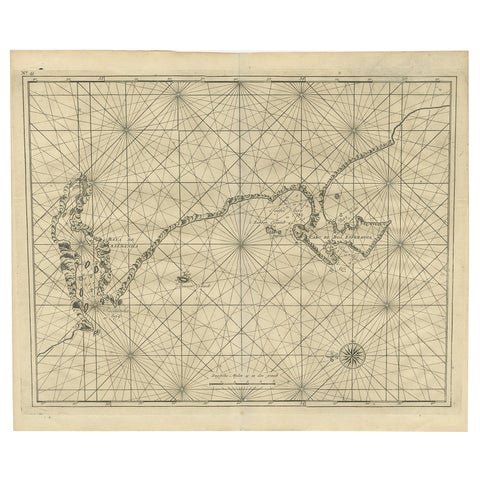
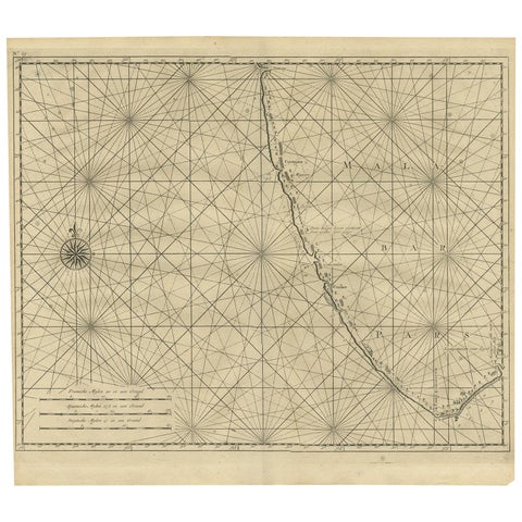
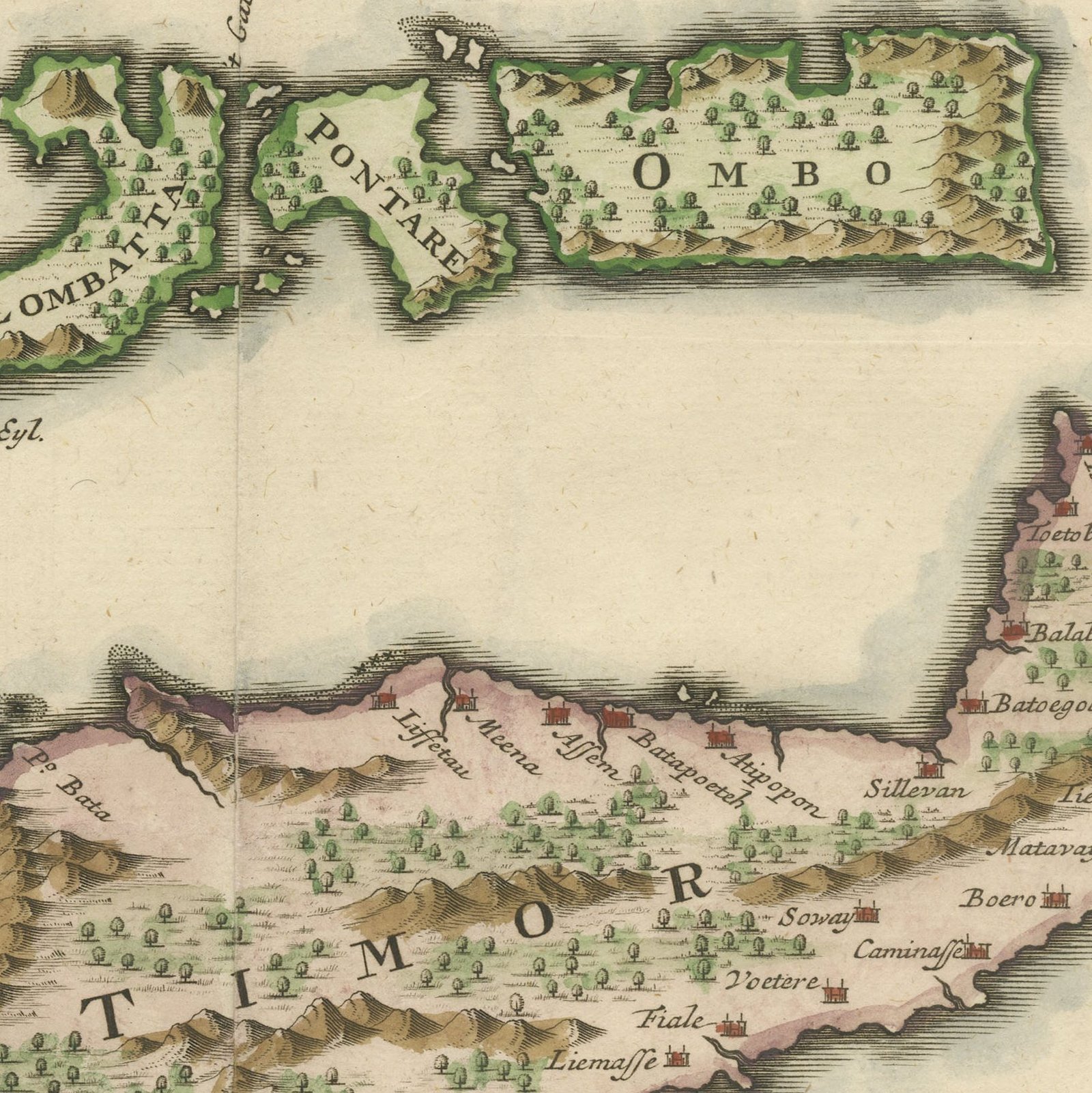
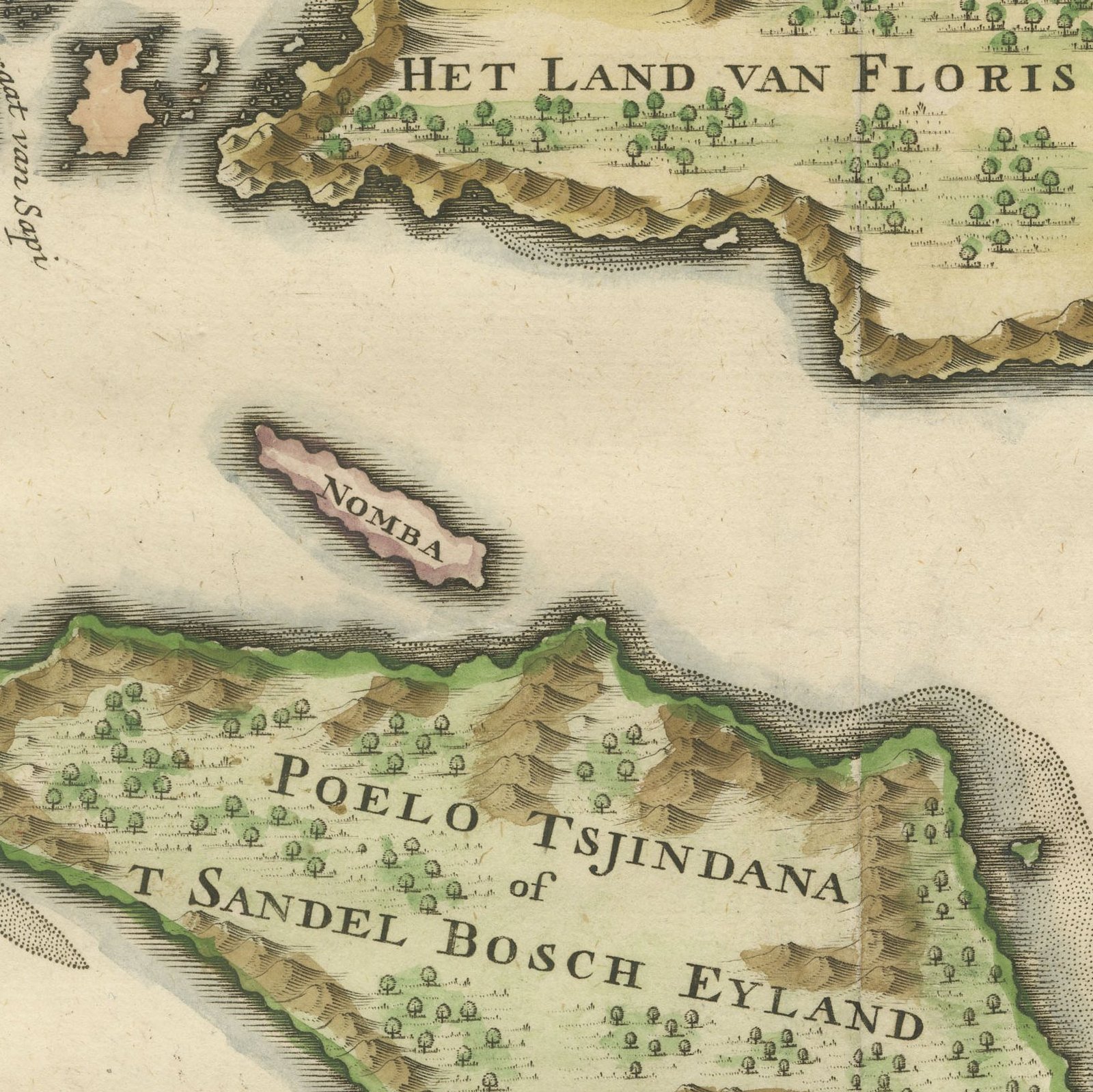
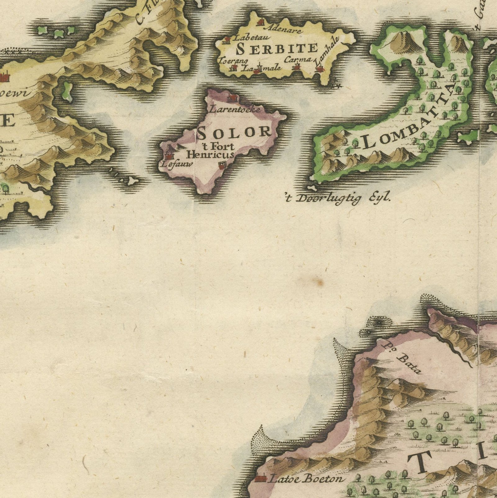
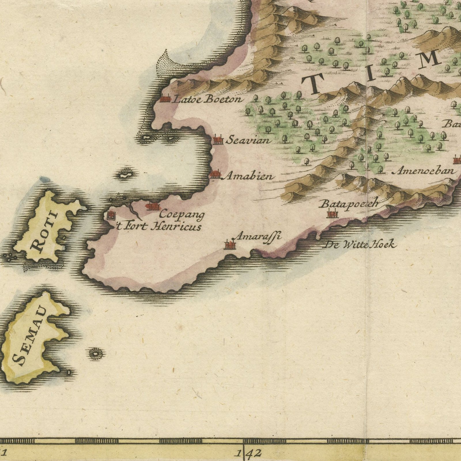
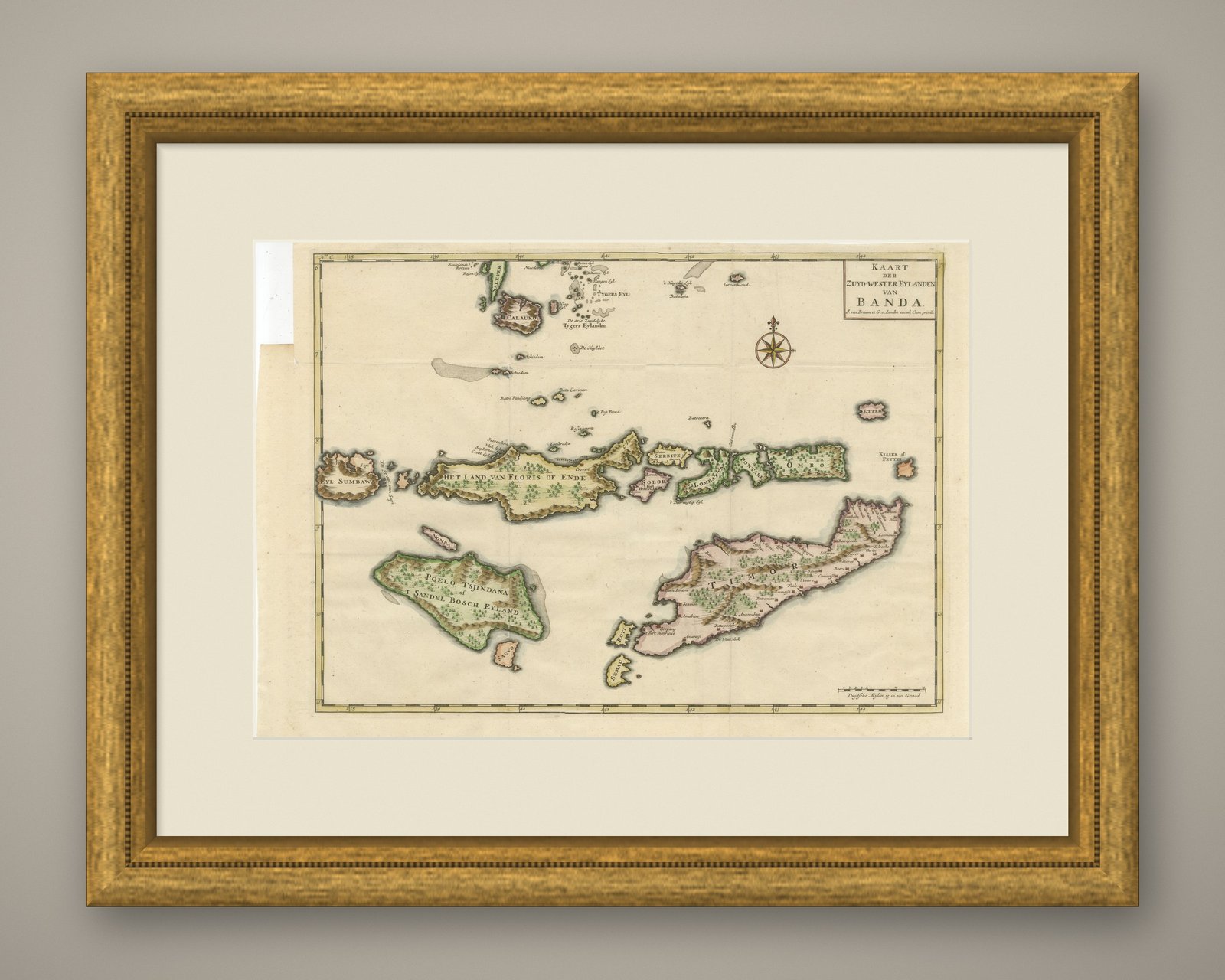
An original hand-colored antique sea chart of the islands southwest of Banda, engraved on copper for Francois Valentijn and lettered "KAART der ZUYD-WESTER EYLANDEN van BANDA". The sheet runs from Eyl. Sumbaw in the west, past Het Land van Floris of Ende, Solor, Lomblem, Pantar and Ombo, to the long island of Timor, with Rotti and Semau at its tip and Kisser and Letter out to the east. Poelo Tsjindana, lettered on the plate also as "t Sandel Bosch Eyland", the sandalwood island known today as Sumba, lies in the south. A compass rose is set in the open sea and the coasts are drawn with the detail a navigator needed. The hand coloring follows the shorelines.
An original copper-engraved chart with hand coloring from Francois Valentijn's "Oud en Nieuw Oost-Indien", published at Dordrecht and Amsterdam between 1724 and 1726 by Joannes van Braam and Gerard onder de Linden, whose imprint appears in the cartouche as "J. van Braam en G. onder Linden excud. Cum privil." Valentijn, a minister of the Dutch Reformed church who spent many years in the Indies, assembled the charts for his five folio volumes from company sources and from his own experience; this plate has been checked against the National Museum of Singapore record.
This chart covers the sea road from Java to the Moluccas, the chain of islands traders had to work through and that stayed imperfectly known to Europeans long after Banda and Ambon had been charted in detail. Sandalwood drew the Dutch to Poelo Tsjindana, now Sumba, and Timor was divided between Dutch and Portuguese claims for centuries, a division that shaped the island's history into living memory. For a collector the appeal is partly the names: the plate preserves an older geography of the Lesser Sunda Islands in its own spelling. It is a good map to hang where Indonesia or Timor-Leste is of personal interest, and it pairs naturally with any Valentijn chart of the Moluccas.
Loss or wear at the top left corner. The top edge is uneven in one place. Light uneven toning, browner towards the edges. Handling soiling along the bottom edge. Scattered foxing in the margin.
This is an original antique map, not a modern reproduction. This item is sold unframed.