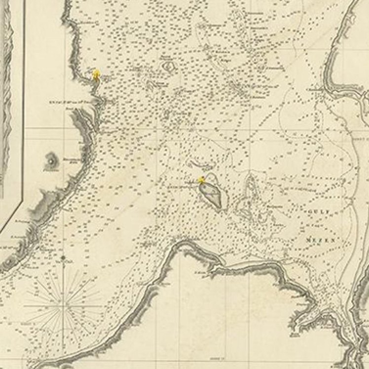
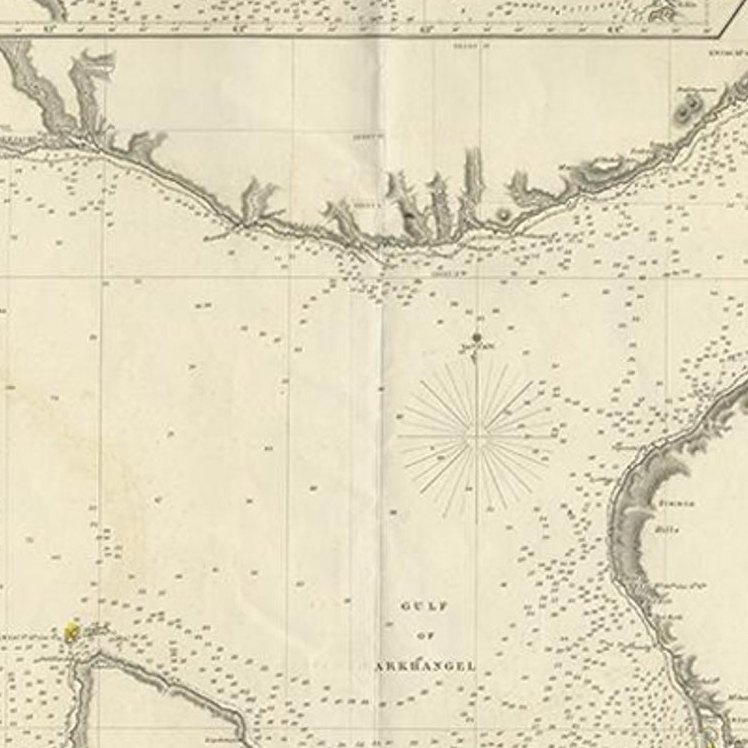
Close-ups
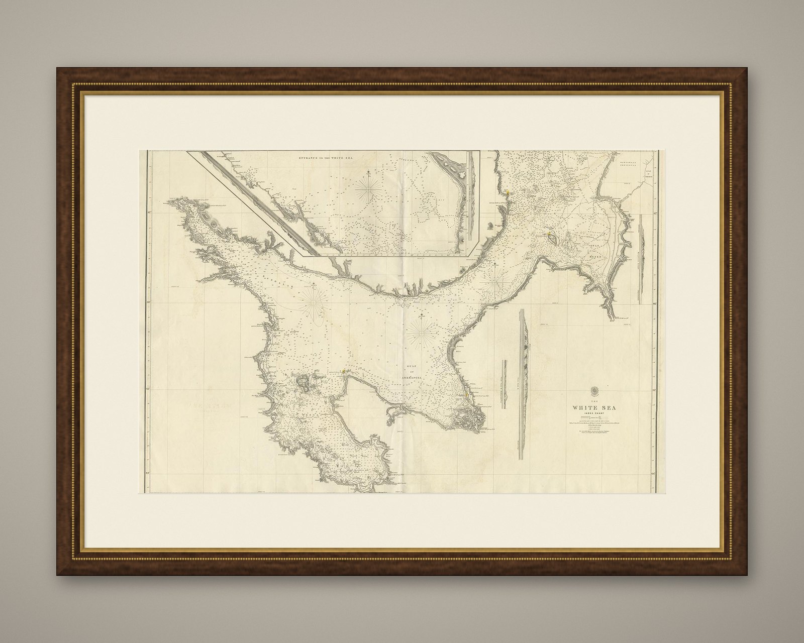
Framed and on the wall
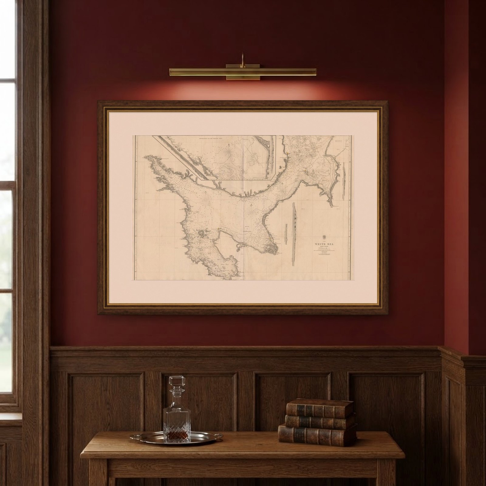

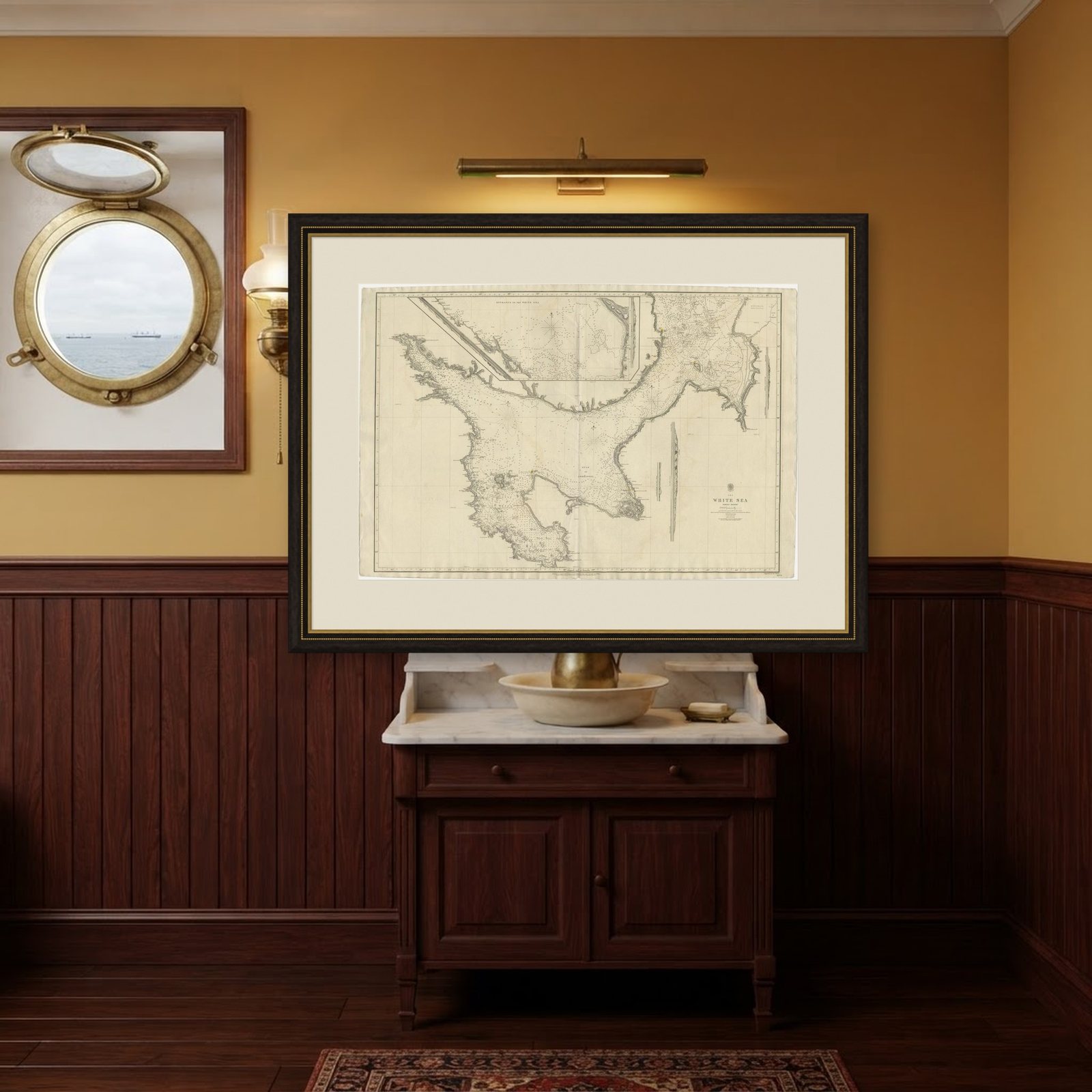
Frame and rooms are illustrations of how the piece could look; it is sold unframed unless the description says otherwise.
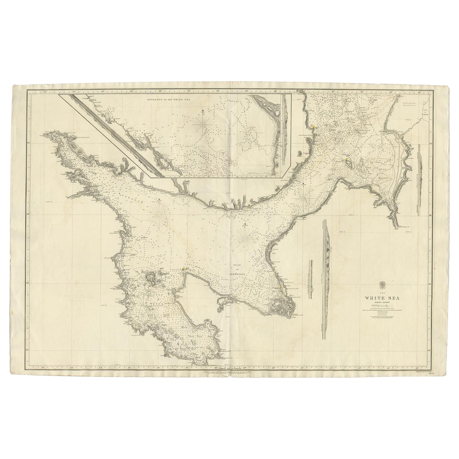
Large Antique Chart of The White Sea, Russa 1854
$1,045$73030% off
€665 · £555
Original print, not a reproduction.
Ships worldwide from the Netherlands, flat or rolled, insured and tracked. 14-day returns.
- Date
- 1854
- Sheet size
- 26.8 × 40.2 in (68 × 102 cm)
- Condition
- Good
- Collection
- Sea charts
- Era
- 1850 and after, Steam and steel
- Stock no.
- BG-06213
What the condition grades mean
- Excellent
- Bright and clean, with no faults worth mentioning.
- Very good
- Only light signs of age, such as faint toning.
- Good
- Normal signs of age for a sheet of this period: toning, some foxing, small marks or neat old repairs.
- Fair
- Clear faults such as staining, tears or repairs, priced to match.
Every fault we see is written in the condition note, and the whole sheet is shown uncropped in the photos.
Antique map titled 'The White Sea Index Chart'. Large uncommon map of the White Sea with a smaller inset map of the entrance to the White Sea. The white sea is a southern inlet of the Barents Sea located on the northwest coast of Russia. It is surrounded by Karelia to the west, the Kola Peninsula to the north, and the Kanin Peninsula to the northeast.
The White Sea (Russian: ????? ????, Béloye móre; Karelian and Finnish: Vienanmeri, lit. Dvina Sea; Nenets: ?????? ??', Serako yam) is a southern inlet of the Barents Sea located on the northwest coast of Russia. It is surrounded by Karelia to the west, the Kola Peninsula to the north, and the Kanin Peninsula to the northeast. The whole of the White Sea is under Russian sovereignty and considered to be part of the internal waters of Russia. Administratively, it is divided between Arkhangelsk and Murmansk oblasts and the Republic of Karelia.
The major port of Arkhangelsk is located on the White Sea. For much of Russia's history this was Russia's main center of international maritime trade, conducted by the Pomors ("seaside settlers") from Kholmogory. In the modern era it became an important Soviet naval and submarine base. The White Sea–Baltic Canal connects the White Sea with the Baltic Sea.
The White Sea is one of the four seas named in English after common color terms, the others being the Black, Red and Yellow Seas.
Artists and Engravers: Engraved by J. & C. Walker. Published according to Act of Parliament at the Hydrographic Office of the Admiralty. Sold by J. D. Potter.
Image size: 94 x 65 cm