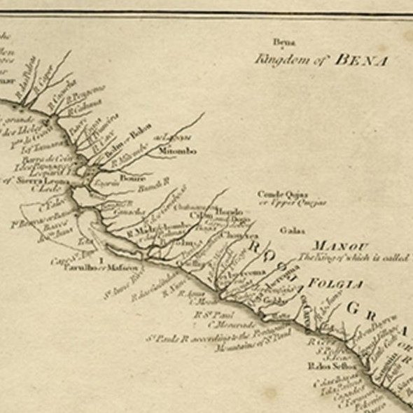
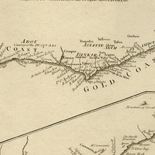
Close-ups
Framed and on the wall

Frame and rooms are illustrations of how the piece could look; it is sold unframed unless the description says otherwise.
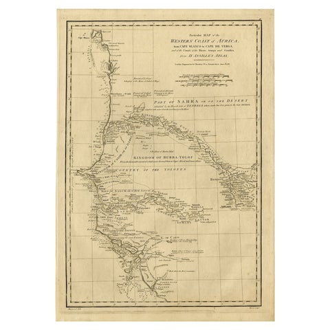
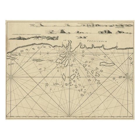
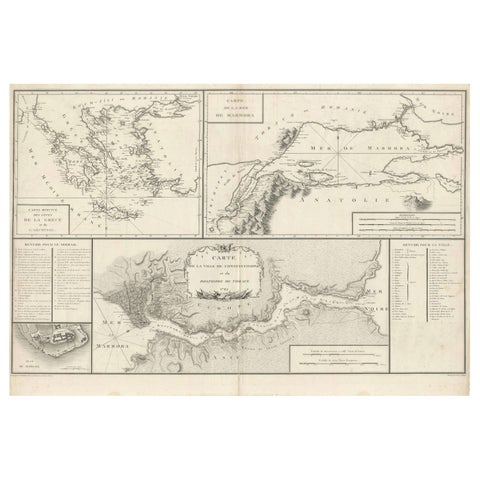
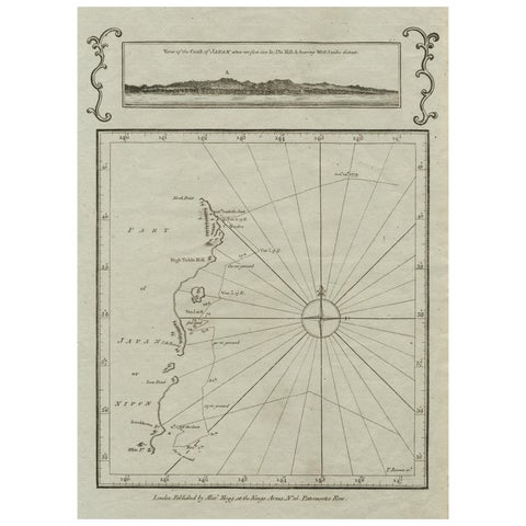
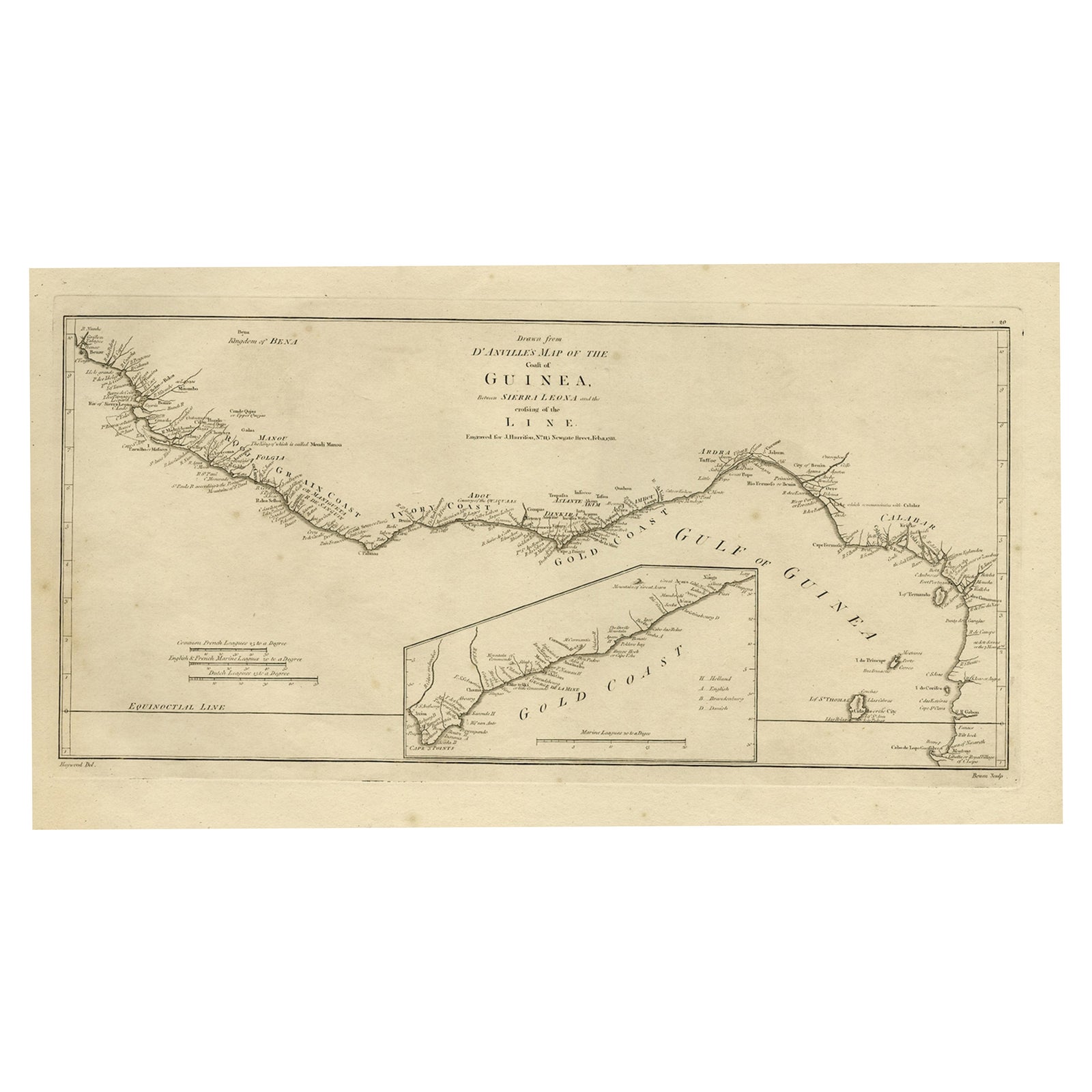
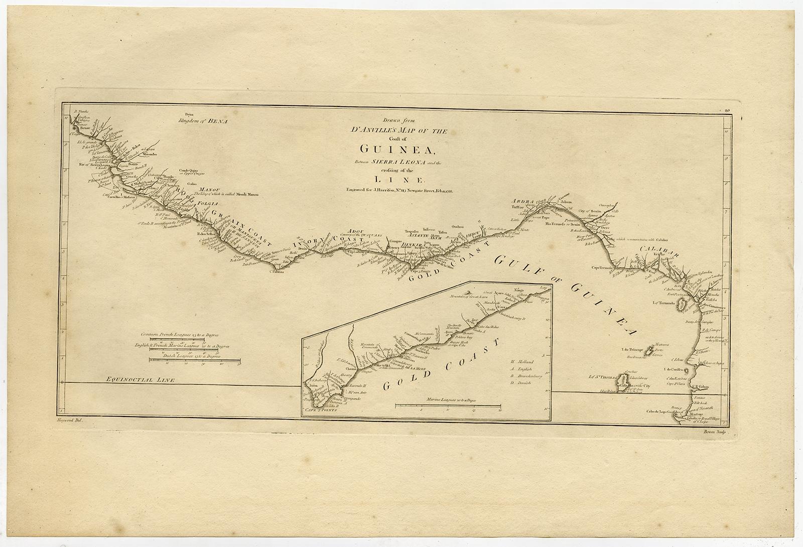
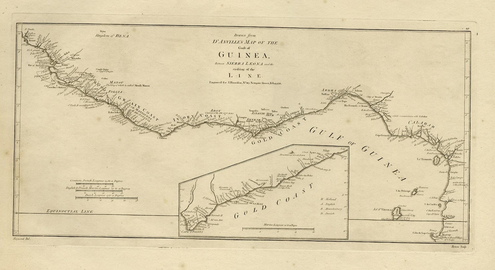
Map of the African Coast, Gulf of Guinea, from Sierra Leone to Gabon, 1788
£390
$515 · €460
Original print, not a reproduction.
Ships worldwide from the Netherlands, flat, insured and tracked. 14-day returns. To buy, use Ask a question and we will reserve it for you.
- Date
- 1788
- Sheet size
- 14.3 × 21.4 in (36.2 × 54.3 cm)
- Technique
- Engraved
- Condition
- Very good, given age. Some scattered spots of foxing in the margins and map. Two tiny wormholes in the left margin. General age-related toning and/or occasional minor defects from handling. Please study image carefully.
- Collection
- Sea charts
- Era
- 1700 to 1789, Age of discovery
- Stock no.
- f_27196492
Antique map titled 'Drawn from d'Anvilles Map of the Coast of Guinea, Between Sierra Leone and the crossing of the Line.'
Map of the African coast, Gulf of Guinea, from Sierra Leone to Gabon (this includes Liberia, Ivory Coast, Ghana, Togo, Benin, Nigeria, Cameroon and Gabon). An inset repeats the part that is now Ghana (roughly between Takoradi and Accra), detailing which colonial power owned what. Published by J. Harrison, 1788.
Artists and Engravers: Made by 'Bowen' after 'Haywood'.
EXPLORE