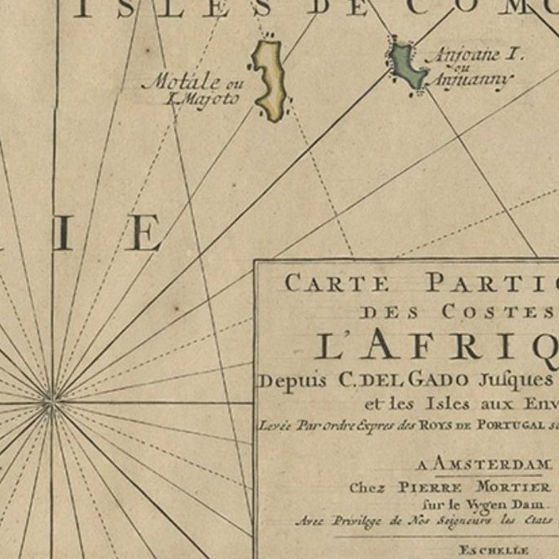
Close-ups
Framed and on the wall
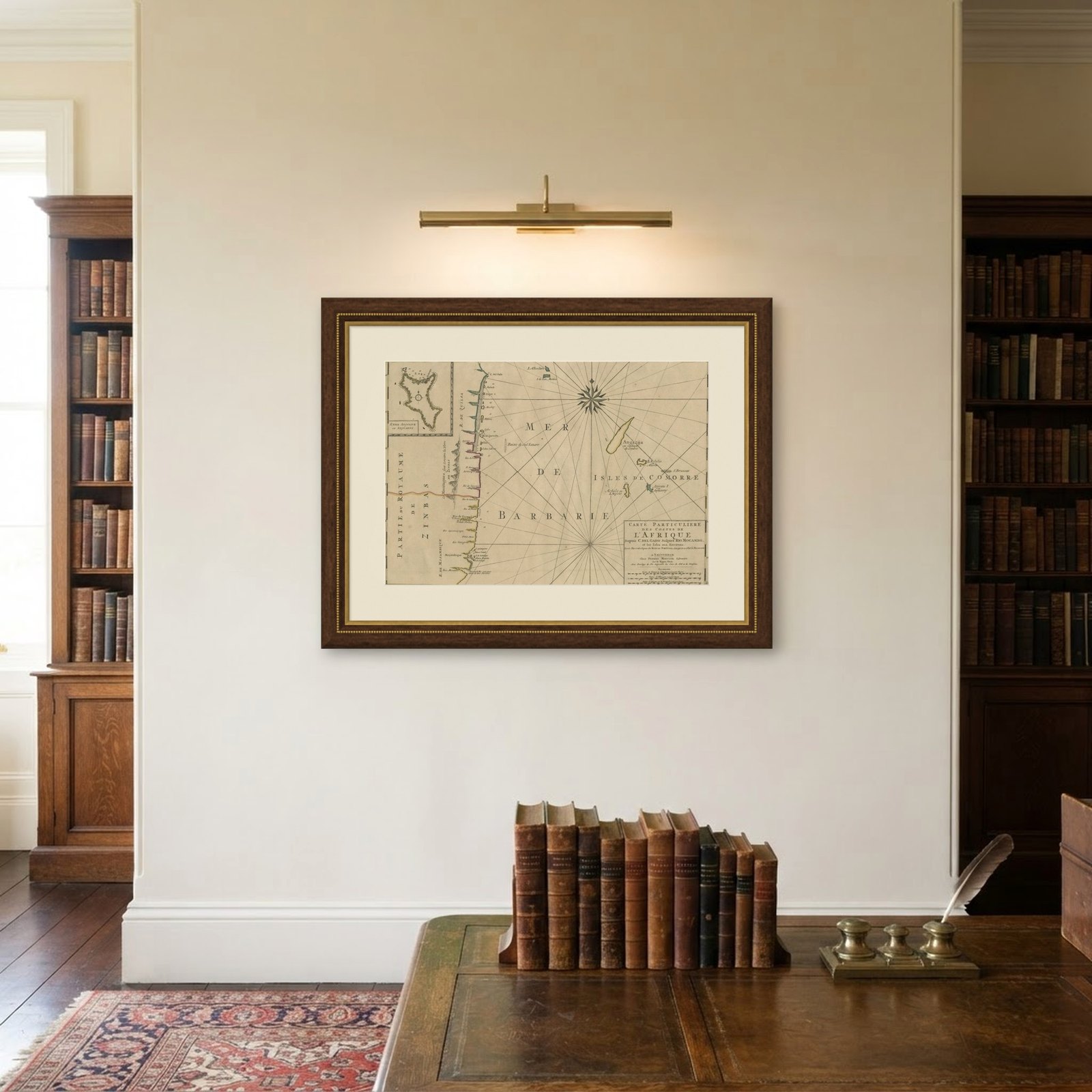
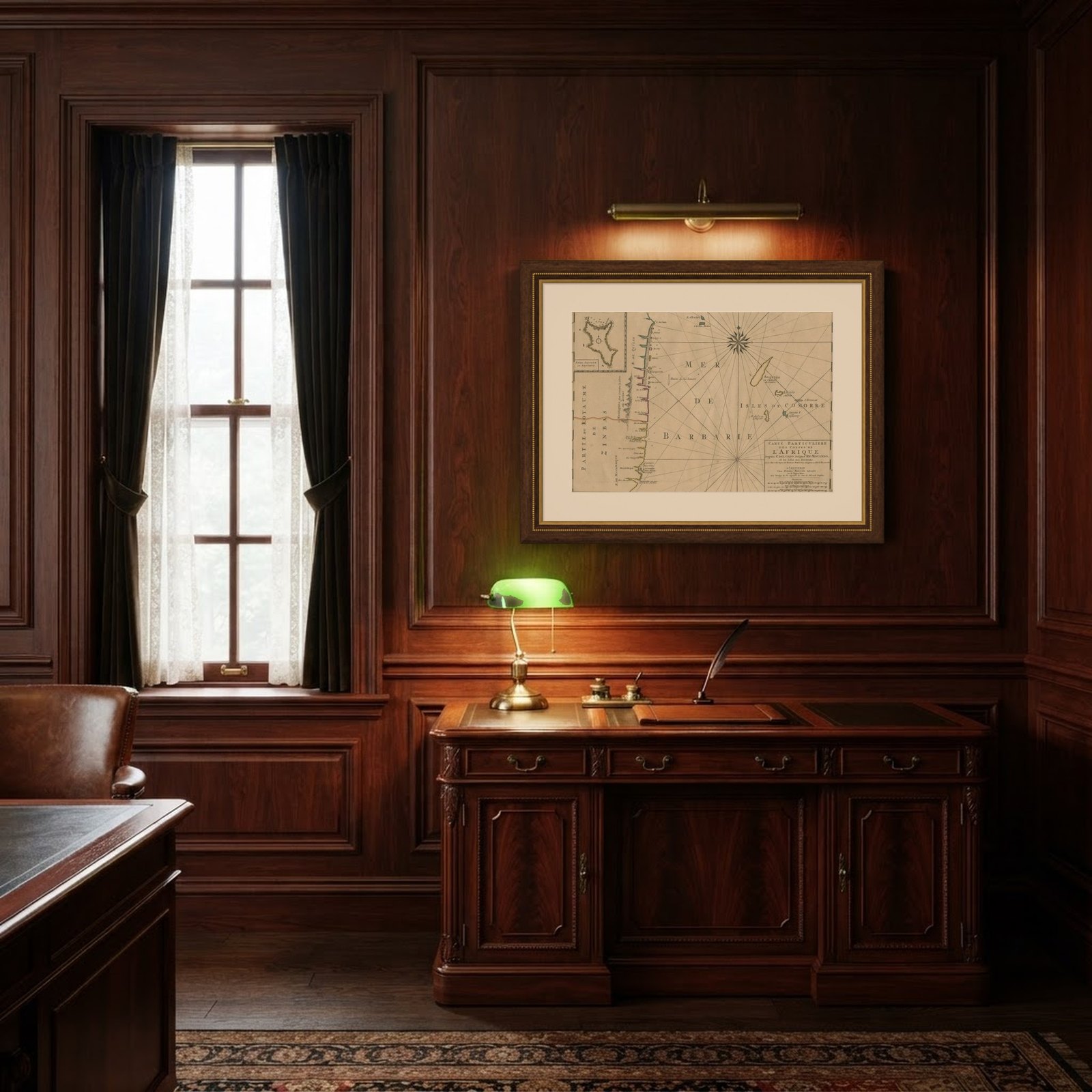
Frame and rooms are illustrations of how the piece could look; it is sold unframed unless the description says otherwise.
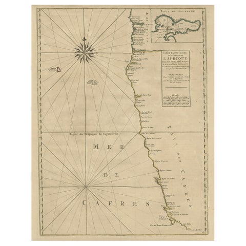
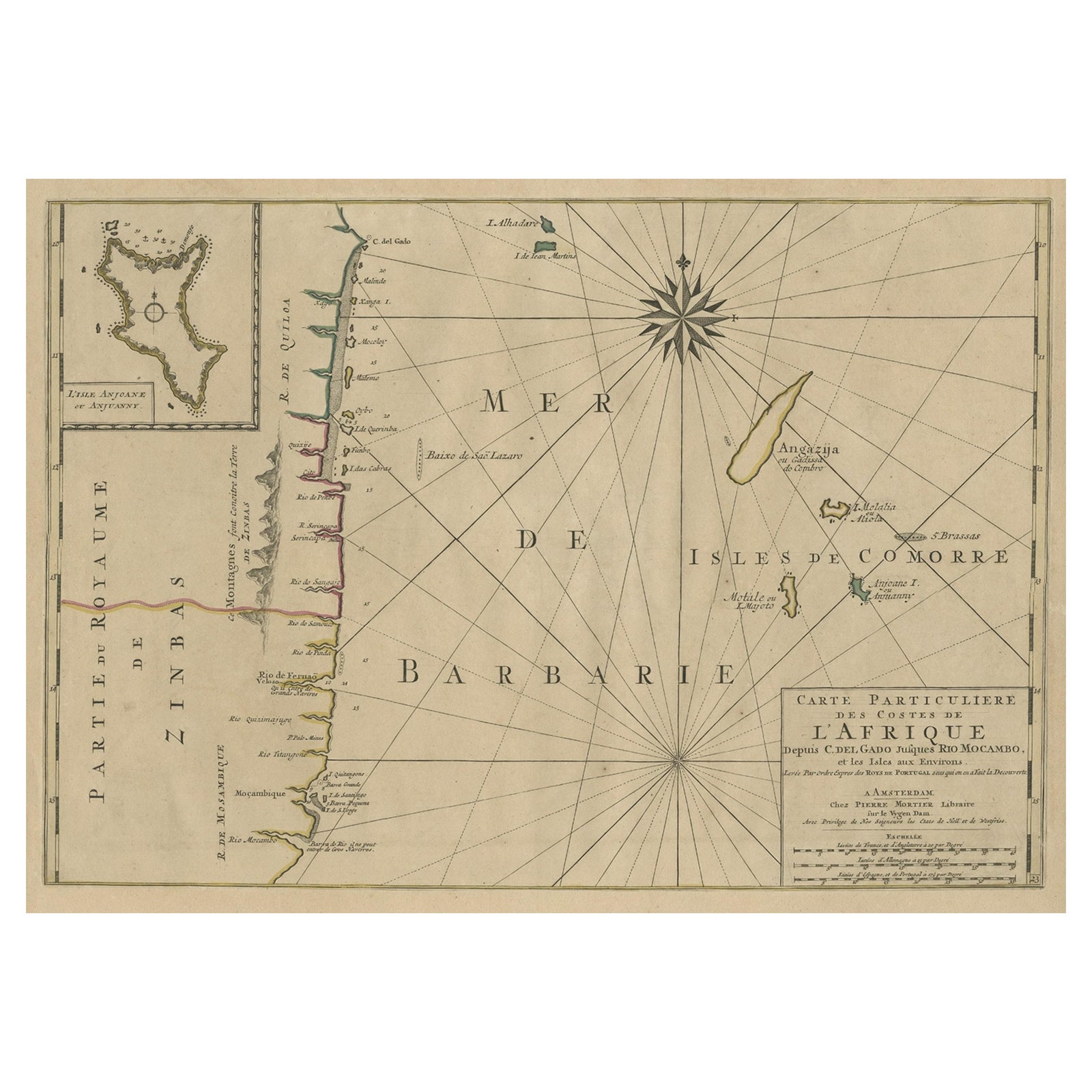
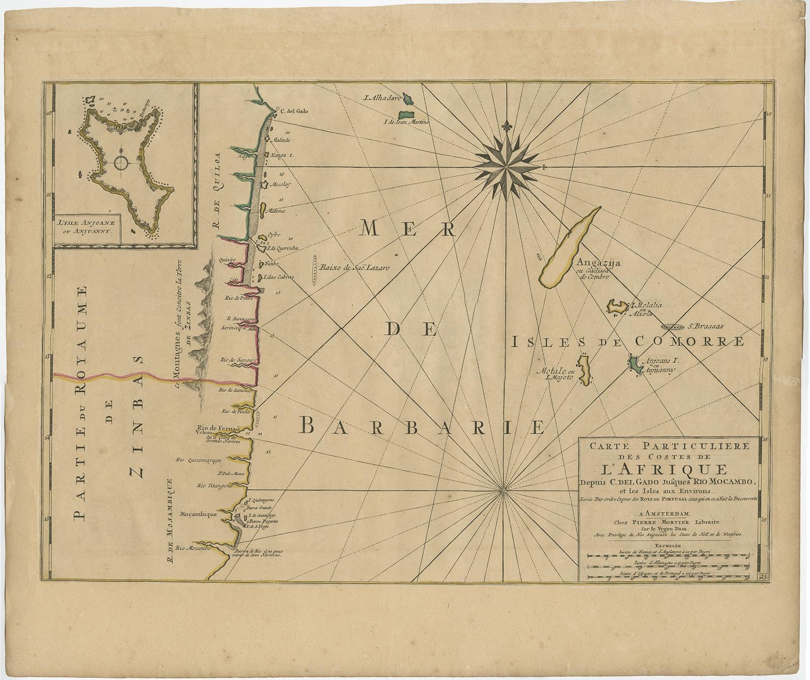
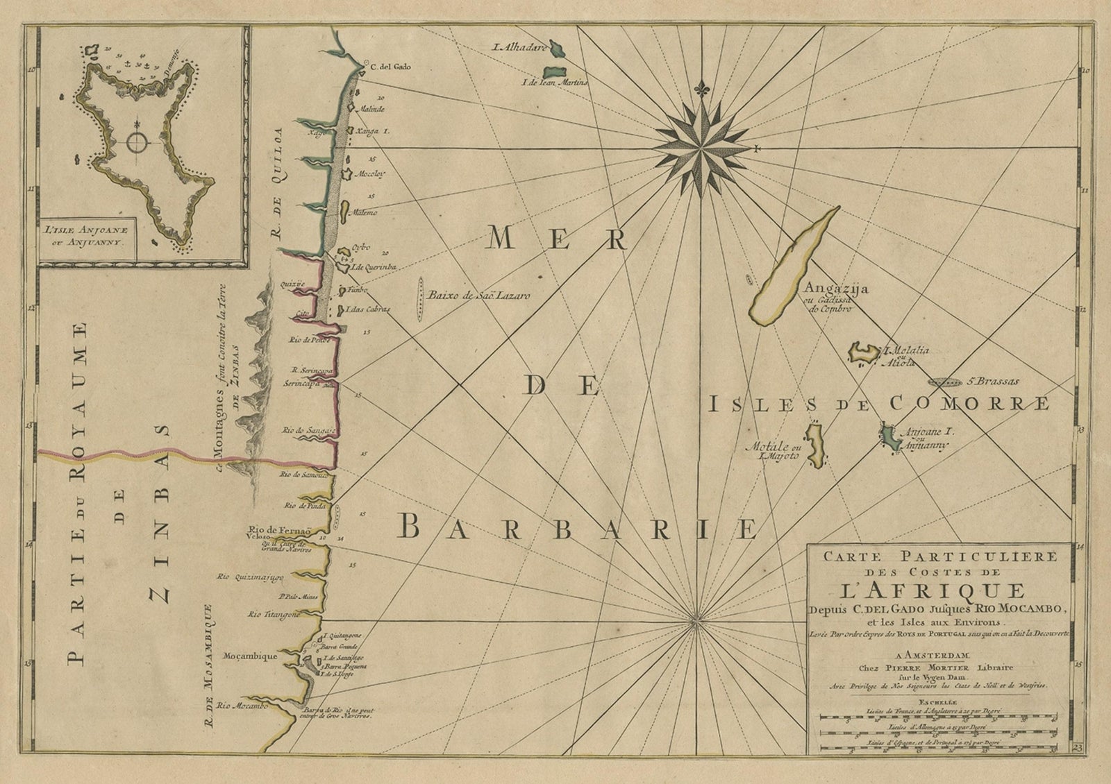
Map of the Mozambique and Tanzania Coast & Inset Map of Anjouan Island, ca.1700
£540
$715 · €640
Original print, not a reproduction.
Ships worldwide from the Netherlands, flat, insured and tracked. 14-day returns.
- Date
- 1700
- Sheet size
- 20.5 × 24.8 in (52 × 63 cm)
- Condition
- Good. Original/contemporary hand coloring. General age-related toning, minor wear. Please study image carefully.
- Collection
- Sea charts
- Era
- 1700 to 1789, Age of discovery
- Stock no.
- f_27092862
Antique map titled 'Carte particuliere des Costes de l'Afrique'.
Depicts the coasts of Mozambique and Tanzania. With an inset map of Anjouan Island.
Artists and engravers: Published by H. Jaillot and P. Mortier, Amsterdam.
EXPLORE