Close-ups
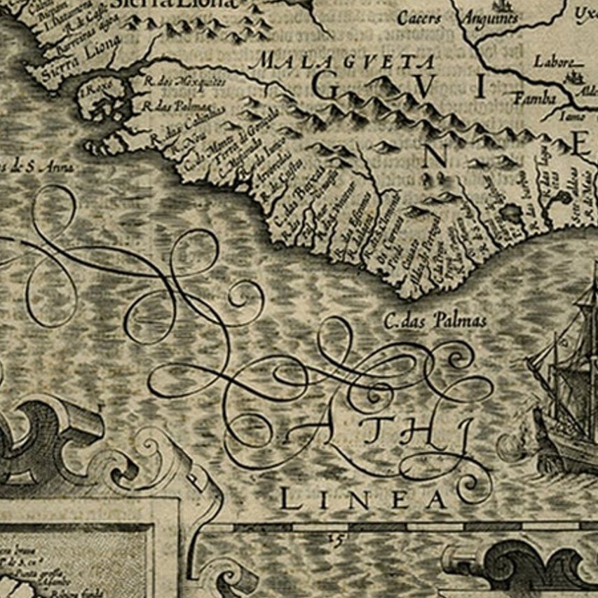
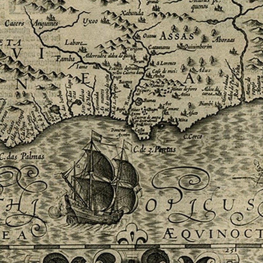
Framed and on the wall
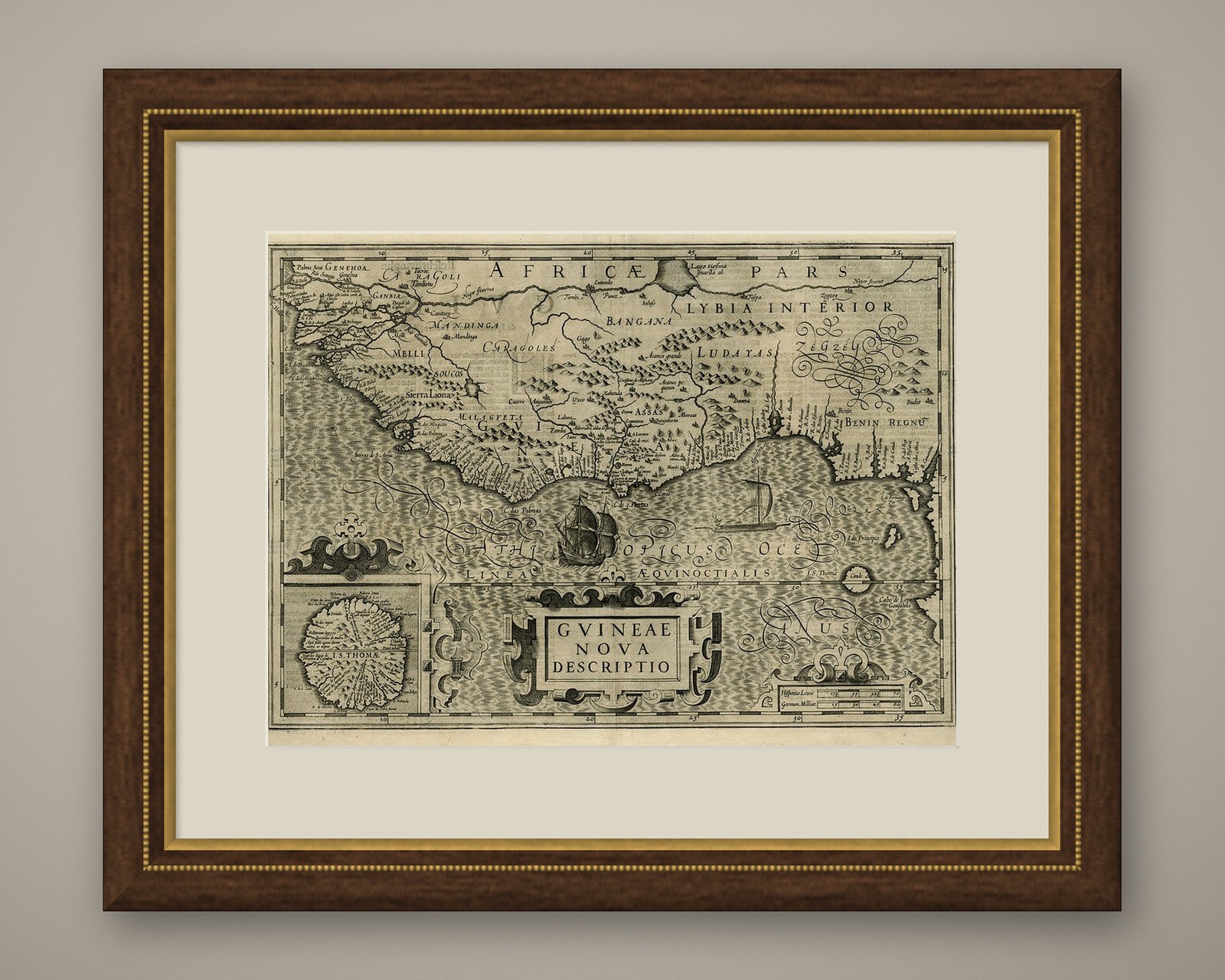
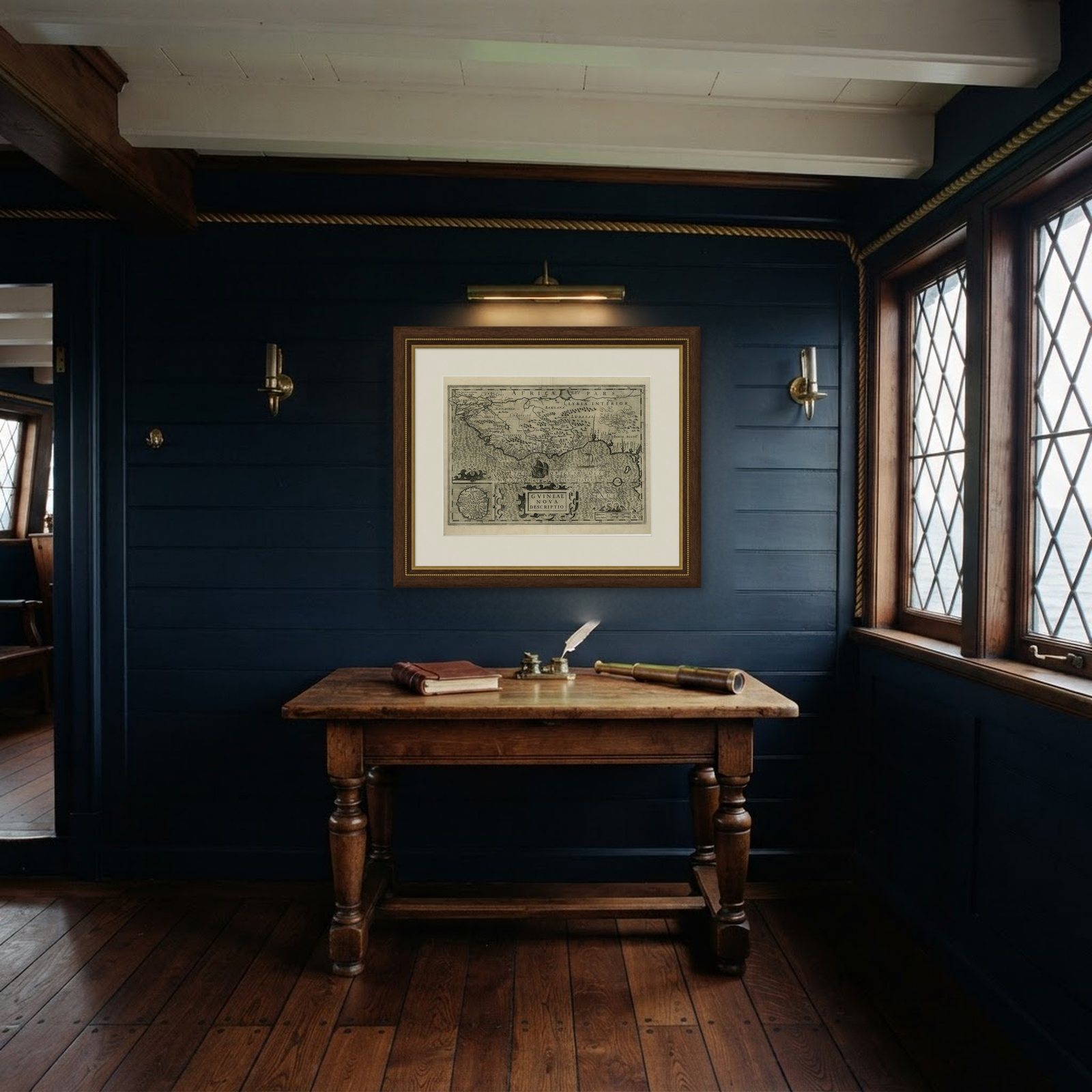
Frame and rooms are illustrations of how the piece could look; it is sold unframed unless the description says otherwise.
Old Decorative Map of the West African Coast & St. Thomae Island, c.1600
£1,215£97020% off
$1,275 · €1,160
Original print, not a reproduction.
Ships worldwide from the Netherlands, flat or rolled, insured and tracked. 14-day returns.
- Date
- 1600
- Sheet size
- 15.6 × 20.5 in (39.7 × 52 cm)
- Condition
- Good. Given age. Very small tear upper middle fold, hardly visible. Light vertical crease left and right of middle fold. A few small unobtrusive creases. Original middle fold as issued. General age-related toning, occasional minor defects.
- Collection
- Sea charts
- Era
- Before 1700, Dutch Golden Age
- Stock no.
- PCT-57972
What the condition grades mean
- Excellent
- Bright and clean, with no faults worth mentioning.
- Very good
- Only light signs of age, such as faint toning.
- Good
- Normal signs of age for a sheet of this period: toning, some foxing, small marks or neat old repairs.
- Fair
- Clear faults such as staining, tears or repairs, priced to match.
Every fault we see is written in the condition note, and the whole sheet is shown uncropped in the photos.
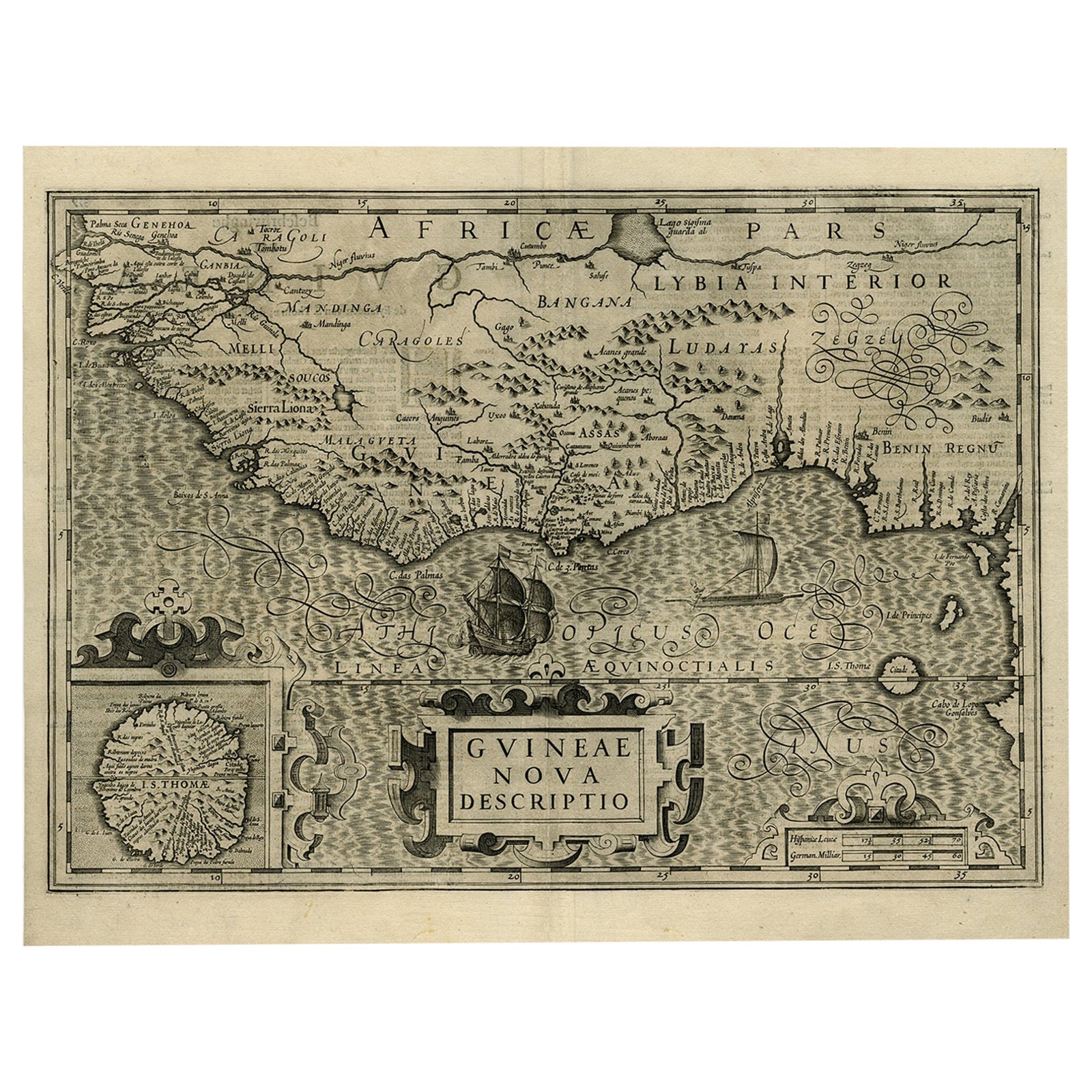
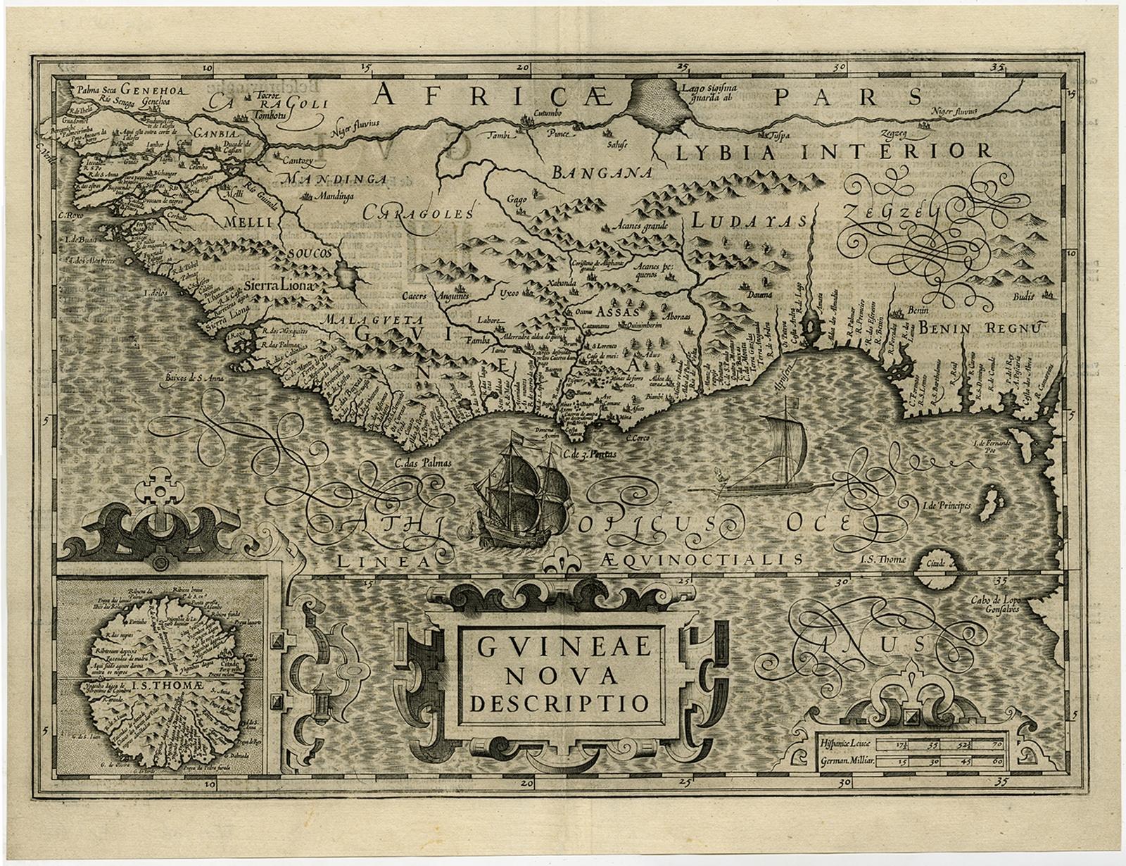
Antique map titled 'Guineae Nova Descriptio.'
This very decorative map shows the West African coast from Senegal (the 'Rio Senega' is the Senegal River) to Cape Lopez on the Gulf of Guinea just below the equator. The island of St. Thomae, which today forms a Portuguese province, is shown in detail in the small inset bottom left. Part of Libya is also depicted. The ocean is rendered in the typical moire style of Mercator, and the several strapwork designs are simple yet imposing. The map is one of six new maps of Africa to be included in Hondius' first edition of Mercator's Atlas.
Artists and engravers: Mercator was born in Rupelmonde in Flanders and studied in Louvain under Gemma Frisius, Dutch writer, astronomer and mathematician. The excellence of his work brought him the patronage of Charles V, but in spite of his favor with the Emperor he was caught up in the persecution of Lutheran protestants and charged with heresy, fortunately without serious consequences. No doubt the fear of further persecution influenced his move in 1552 to Duisburg, where he continued the production of maps, globes and instruments. Mercator's sons and grandsons, were all cartographers and made their contributions in various ways to his atlas. Rumold, in particular, was responsible for the complete edition in 1595. The map plates were bought in 1604 by Jodocus Hondius who, with his sons, Jodocus II and Henricus, published enlarged editions which dominated the map market for the following twenty to thirty years.
EXPLORE