Close-ups
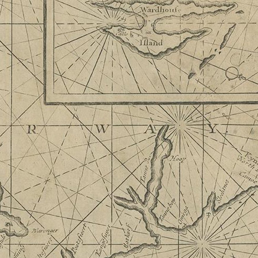
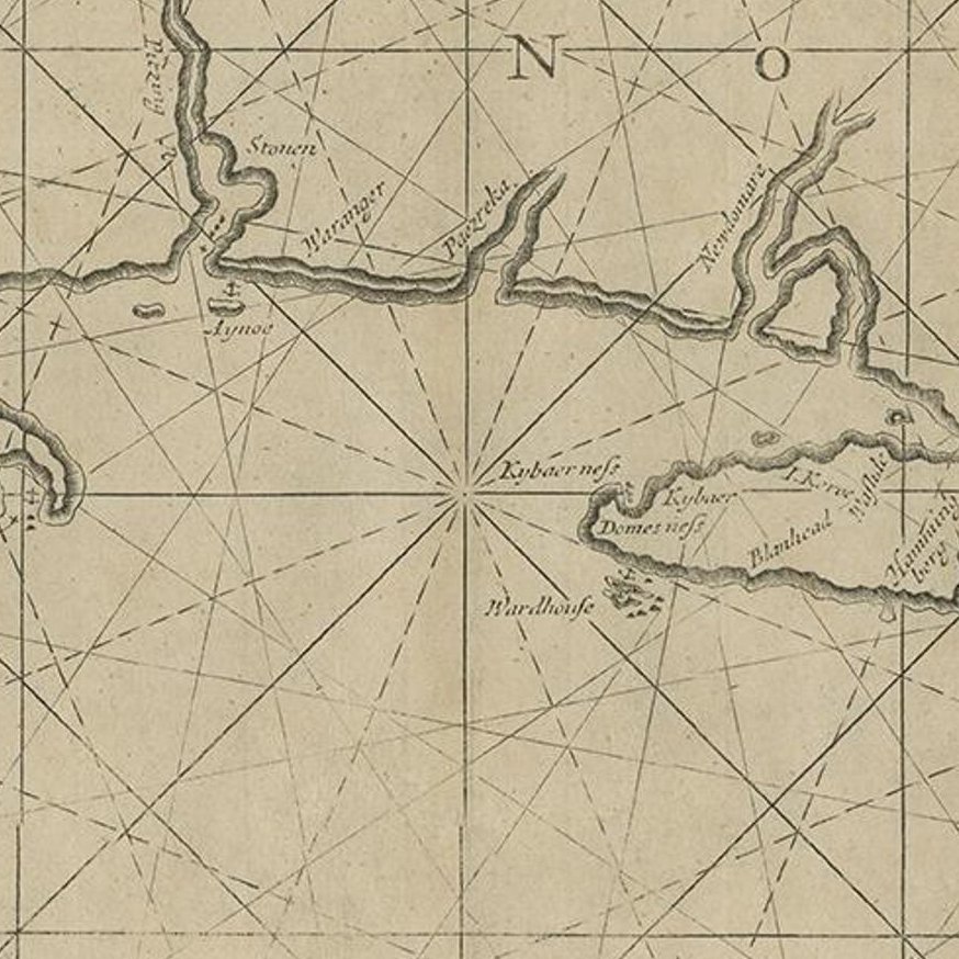
Framed and on the wall
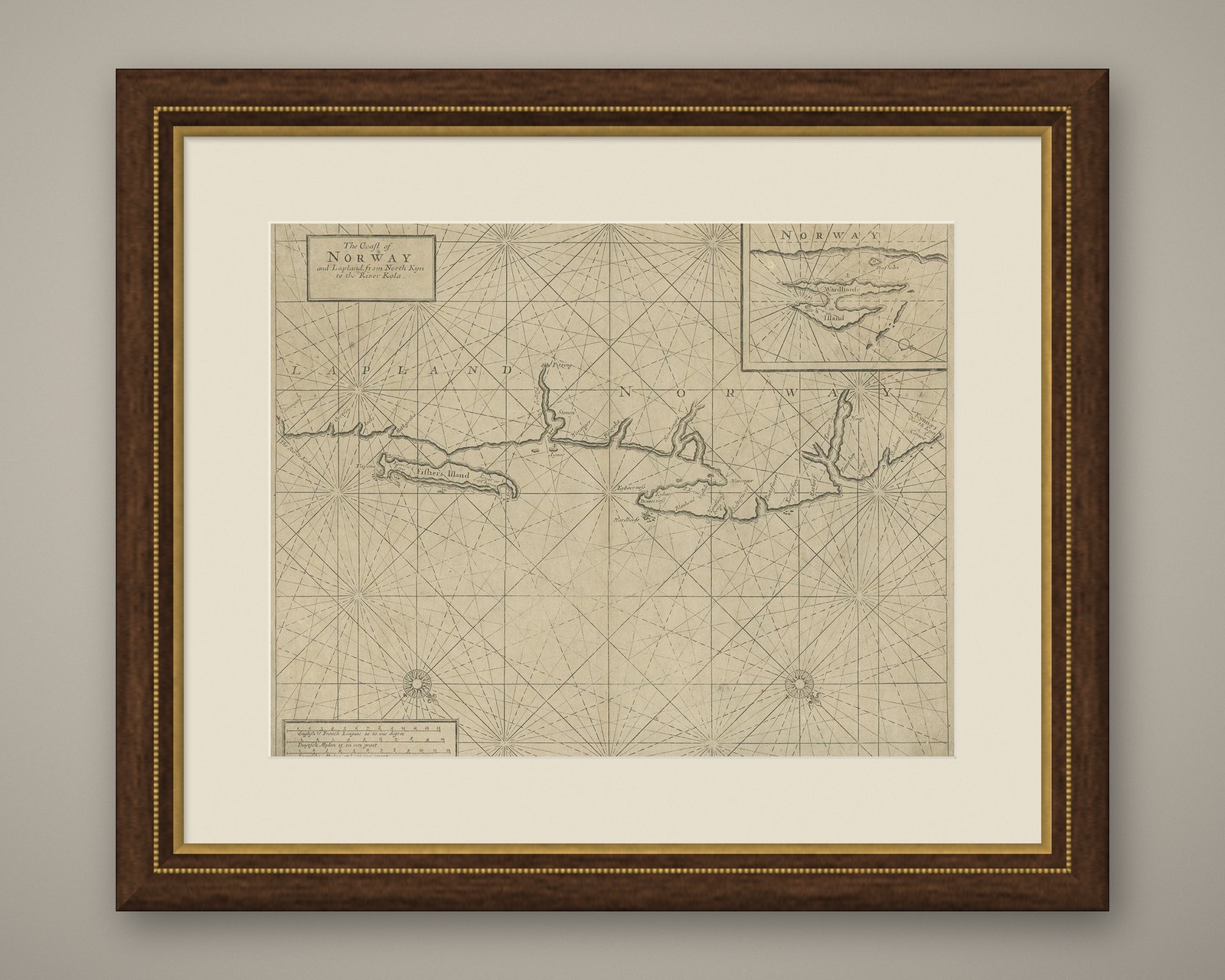
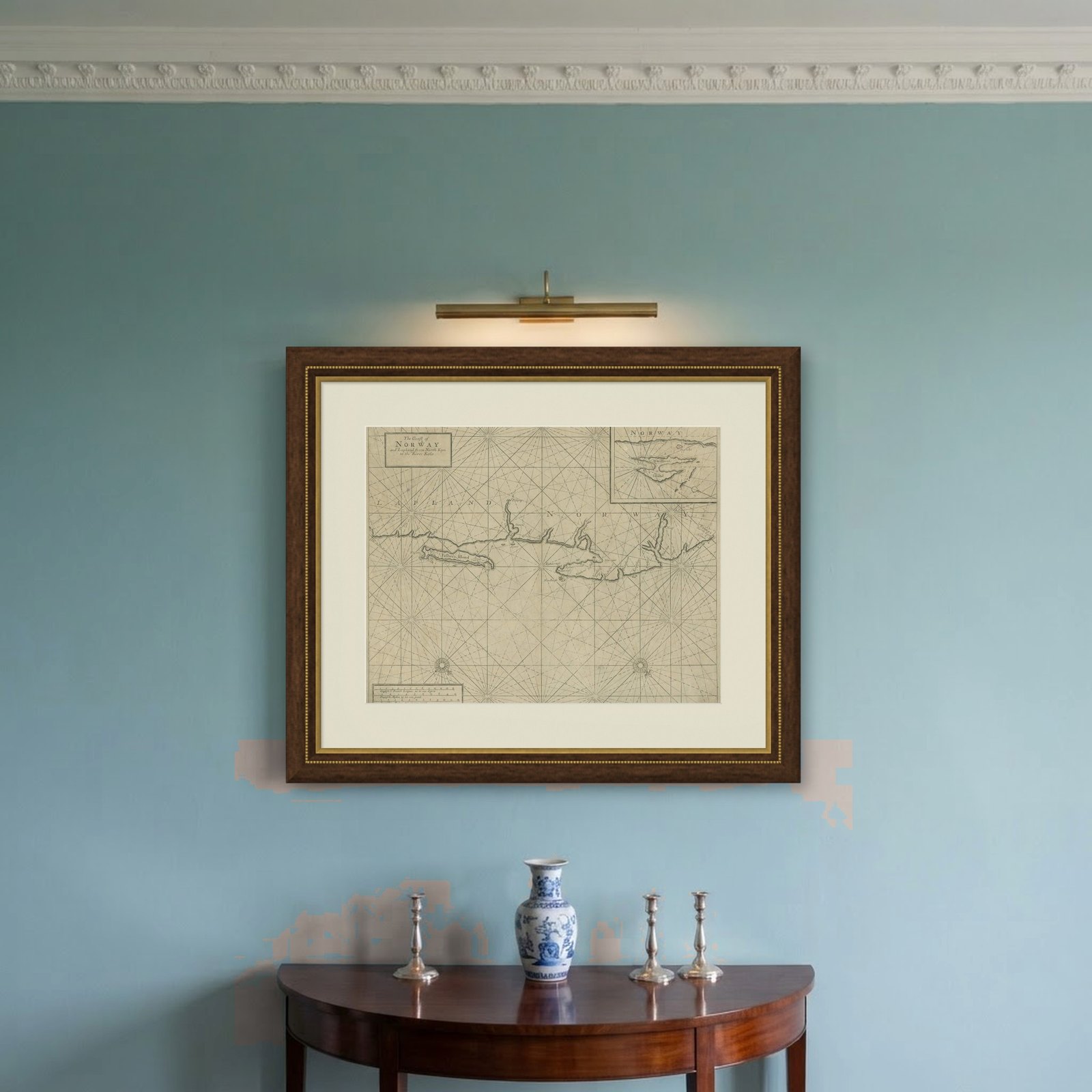
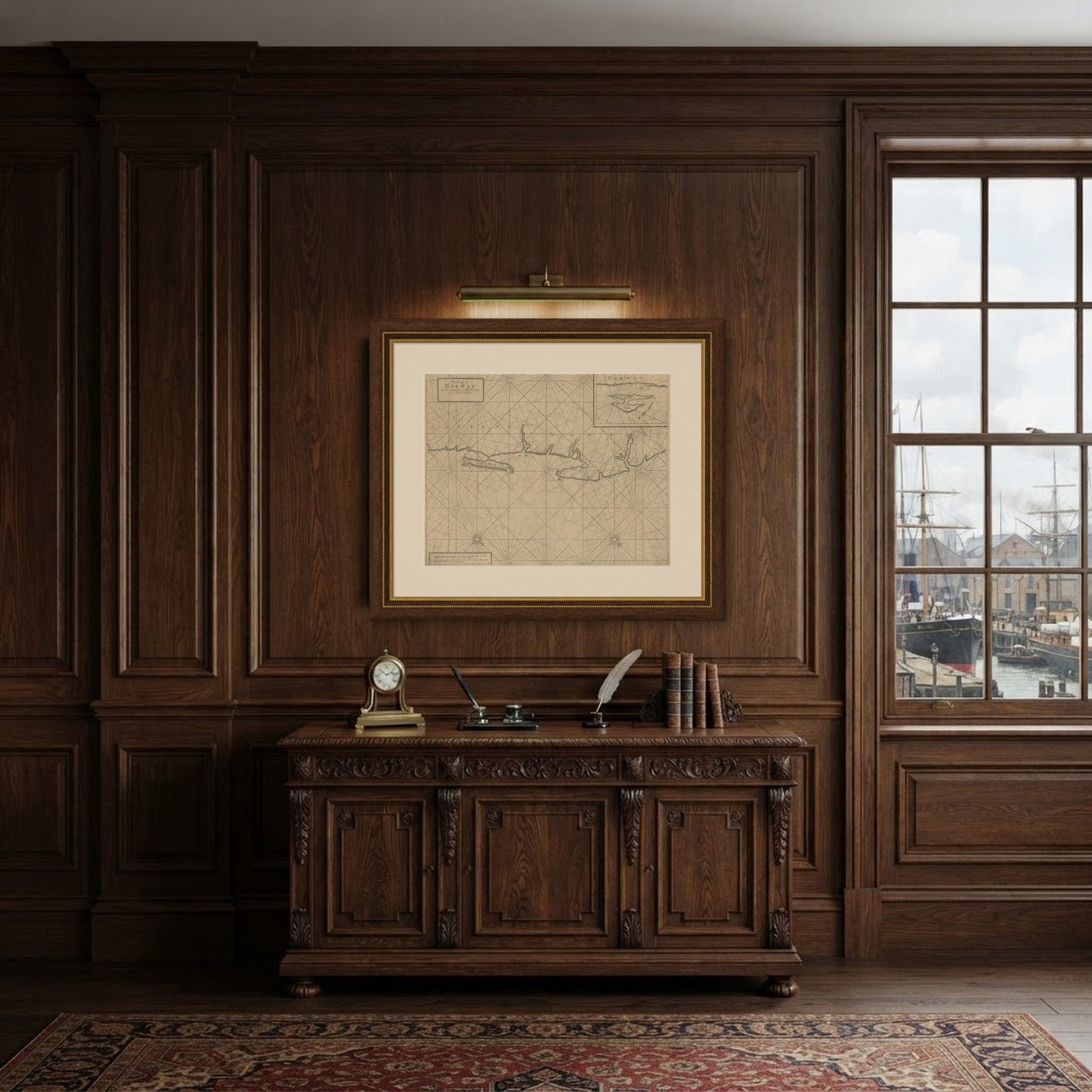
Frame and rooms are illustrations of how the piece could look; it is sold unframed unless the description says otherwise.
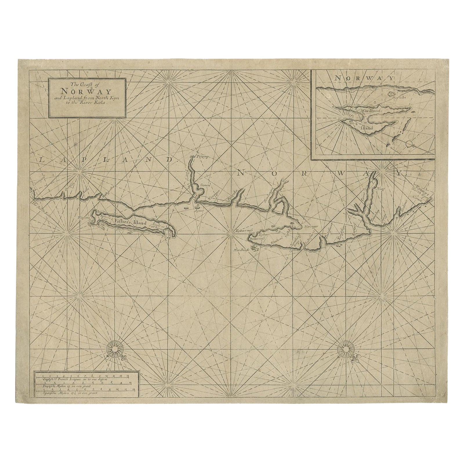
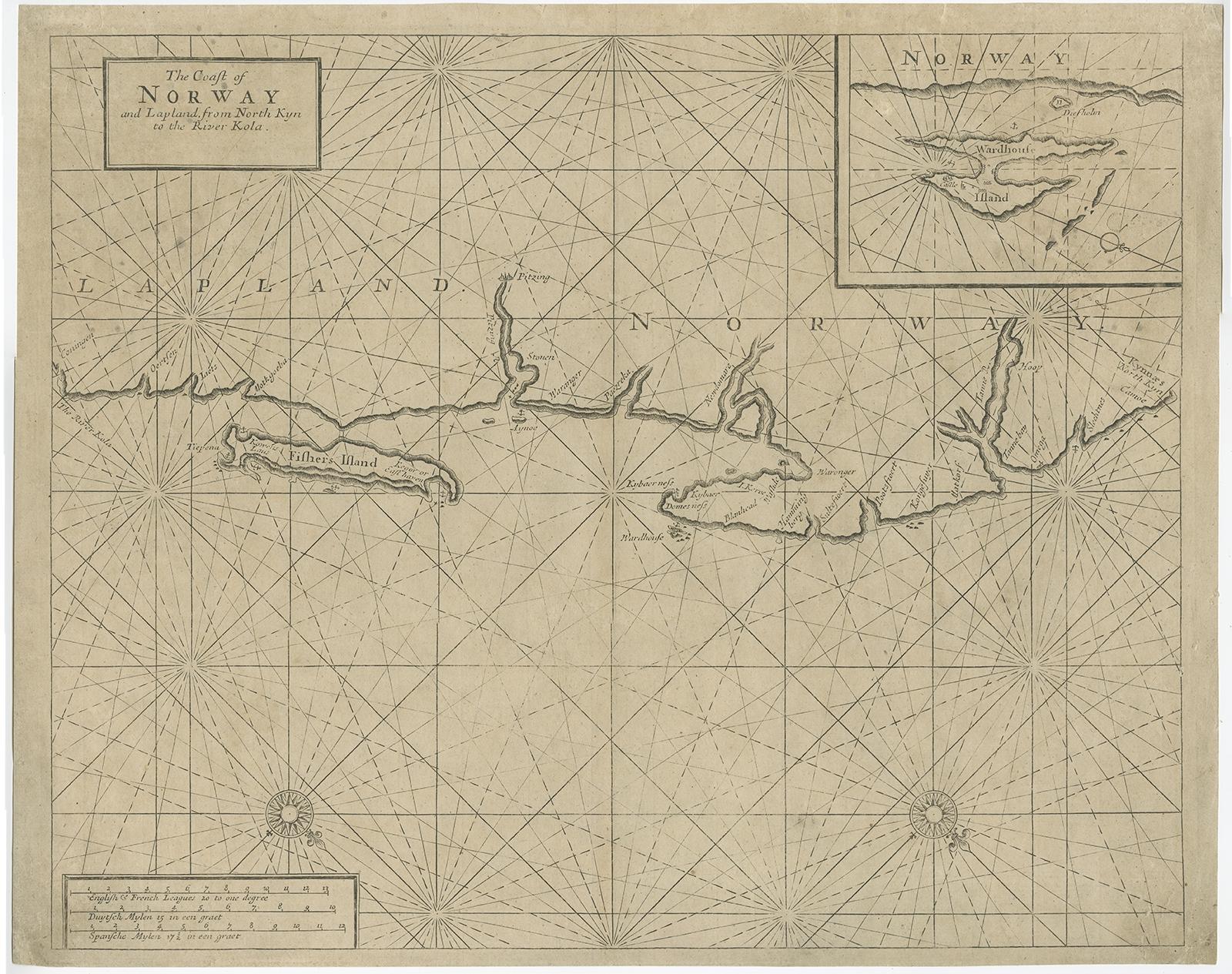
Old Sea Chart of Northern Norway, also depicting Part of Lapland & Russia, 1702
£415
$550 · €490
Original print, not a reproduction.
Ships worldwide from the Netherlands, flat, insured and tracked. 14-day returns. To buy, use Ask a question and we will reserve it for you.
- Date
- 1702
- Sheet size
- 17.3 × 21.7 in (44 × 55 cm)
- Condition
- Fair. Mounted to paper. Some wear and age-related toning, please study image carefully.
- Collection
- Sea charts
- Era
- 1700 to 1789, Age of discovery
- Stock no.
- f_26831322
Antique map titled 'The Coast of Norway and Lapland, from North kyn to the River Kola'.
Sea Chart of Northern Norway, also depicting part of Lapland and Russia. The map covers from the Kola river to what the map calls Fishers Island (Rybachy Peninsula) and east toward Kamoyvaer past Vardo. Small inset map depicting Wardhouse Island (Vardoya). This map originates from Thornton's 'Sea Atlas (..)'.
Artists and Engravers: Samuel Thornton was the son the English mapmaker John Thornton, an eminent English mapmaker of the late seventeenth and early eighteenth century.
Condition: Fair, mounted to paper. Some wear and age-related toning, please study image carefully.