Close-ups
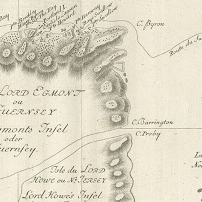
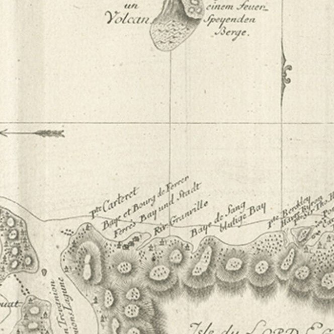
Framed and on the wall
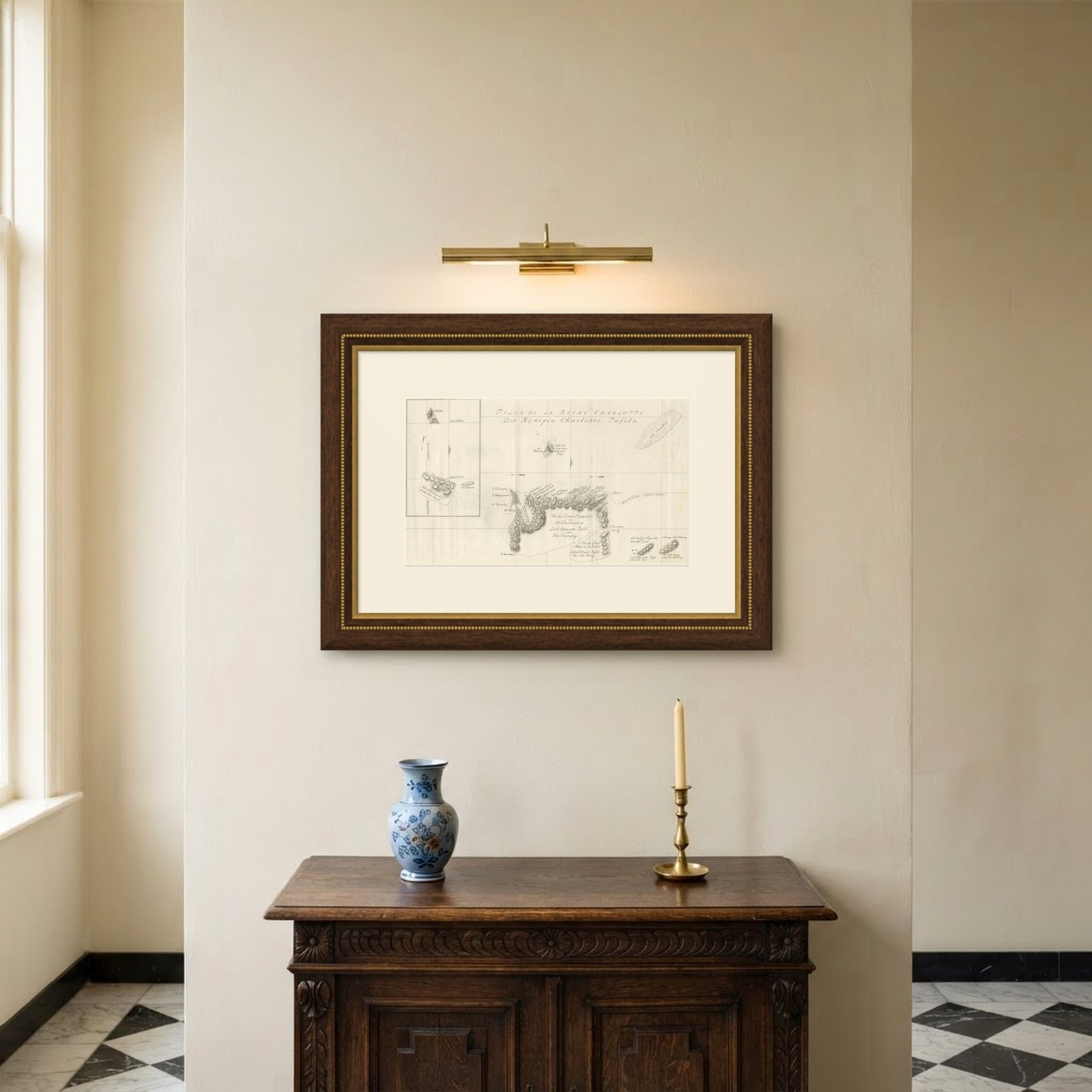

Frame and rooms are illustrations of how the piece could look; it is sold unframed unless the description says otherwise.
Original Antique Chart of the Santa Cruz Islands, 1774
$505$35530% off
€322 · £270
Original print, not a reproduction.
Ships worldwide from the Netherlands, flat or rolled, insured and tracked. 14-day returns.
- Date
- 1774
- Sheet size
- 10.4 × 16.1 in (26.5 × 41 cm)
- Condition
- Good
- Collection
- Voyages of discovery
- Era
- 1700 to 1789, Age of discovery
- Stock no.
- BGJC-221
What the condition grades mean
- Excellent
- Bright and clean, with no faults worth mentioning.
- Very good
- Only light signs of age, such as faint toning.
- Good
- Normal signs of age for a sheet of this period: toning, some foxing, small marks or neat old repairs.
- Fair
- Clear faults such as staining, tears or repairs, priced to match.
Every fault we see is written in the condition note, and the whole sheet is shown uncropped in the photos.
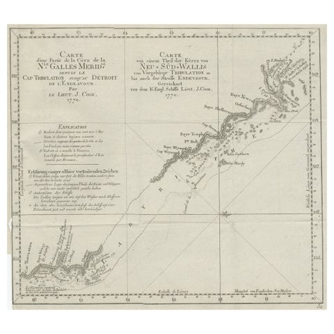
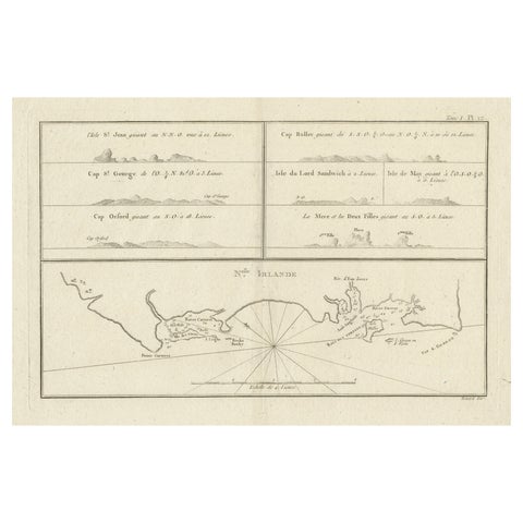
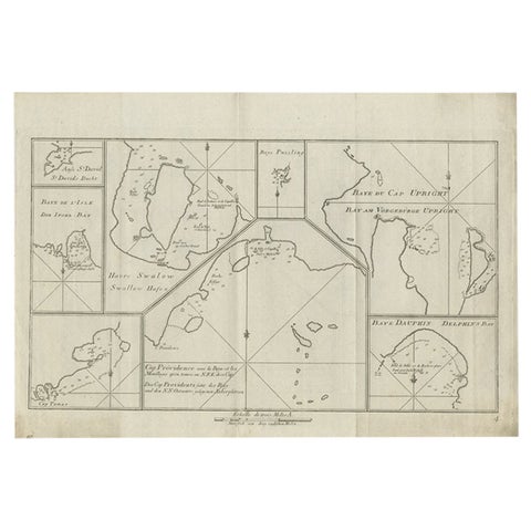
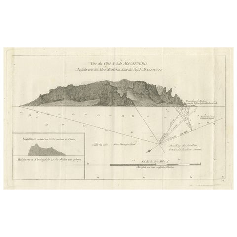
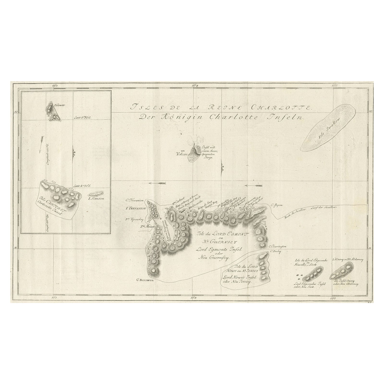
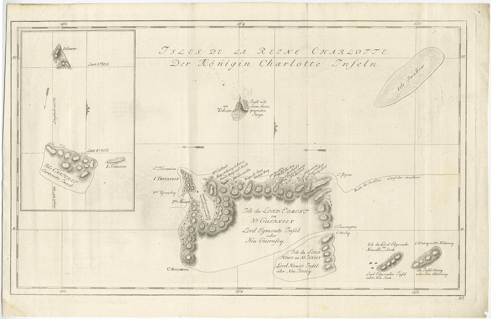
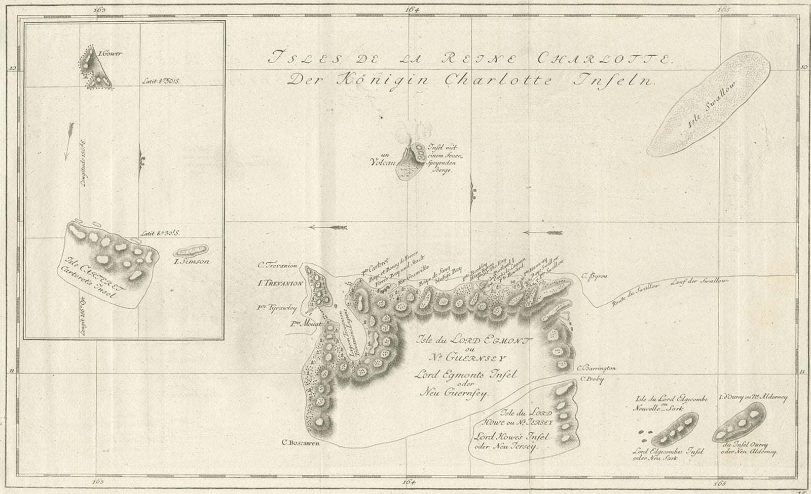
Antique print titled 'Isles de la Reine Charlotte (..)'.
A detailed chart of the Santa Cruz islands, to the north of the New Hebrides, with Carteret's track in "Swallow"; including an inset chart of Carteret and Gower Islands. Relief is shown by hachuring; vegetation is marked by small tree-symbols, revealing that the tops of the mountains were wooded. Along the explored coast of the "Isle Du Lord Egmont", palm trees and huts have been drawn, perhaps marking native settlements. A particularly detailed volcano spewing smoke is shown in profile to the North of this island. Prevailing winds are marked with arrows. Originates from 'Geschichte der See-Reisen und Entdeckungen im Süd-Meer welche auf Befehl Sr. Großbrittanischen Majestät unternommen, und von Commodore Byron, Capitain Wallis, Capitain Carteret und Capitain Coockim Dolphin, der Swallow, und dem Endeavor nach einander ausgeführt worden sind (..)'.
Artists and Engravers: Published by Haude & Spener, Berlin.
EXPLORE