Close-ups
Framed and on the wall


Frame and rooms are illustrations of how the piece could look; it is sold unframed unless the description says otherwise.
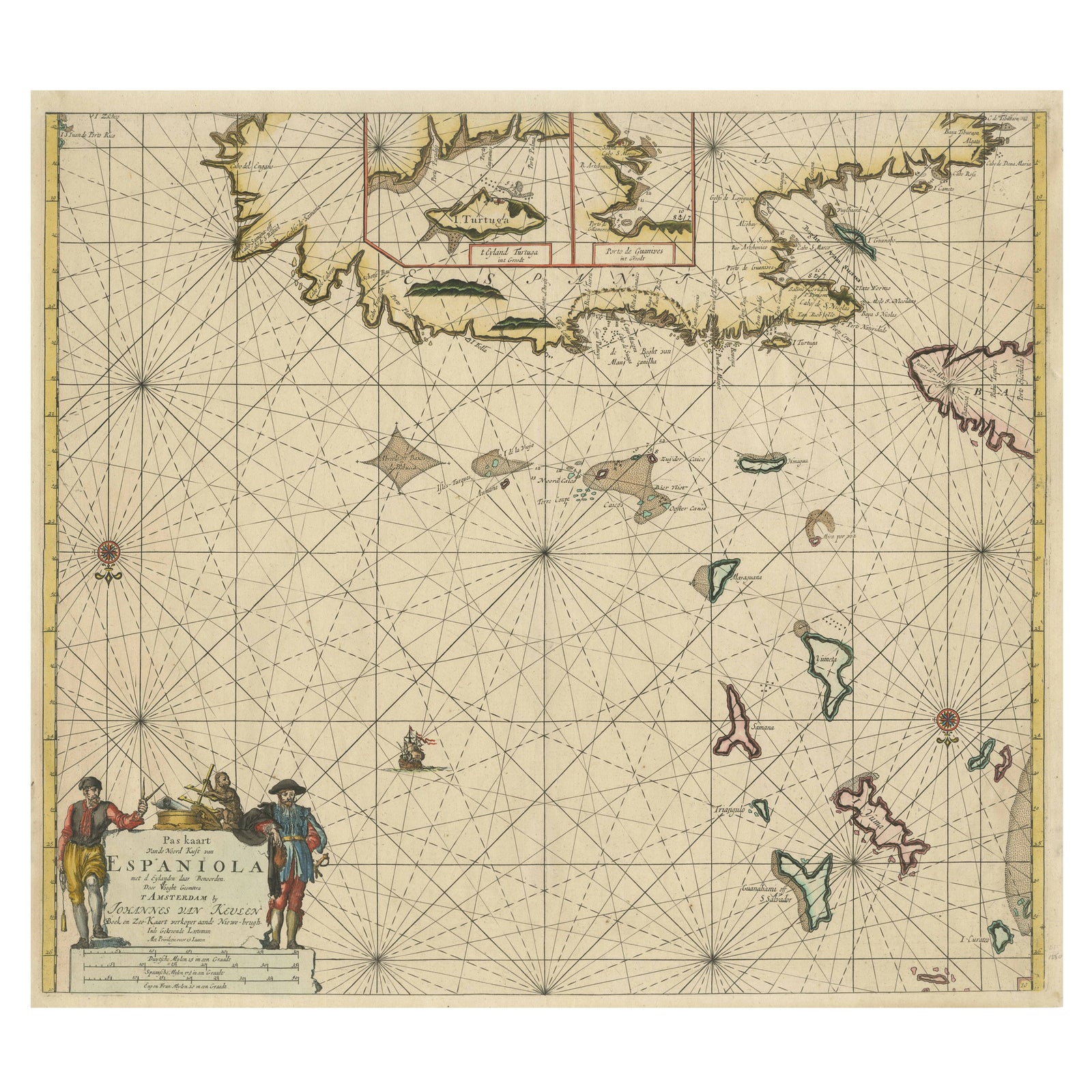
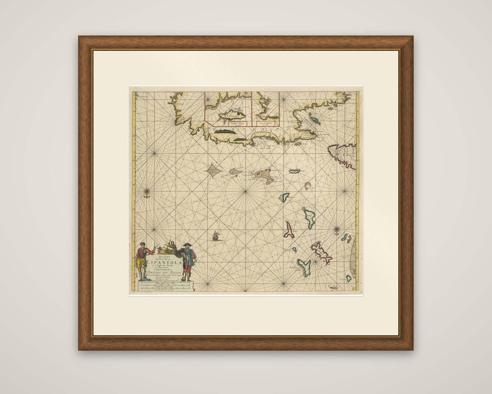
Original Antique Sea Chart, the Northern Part of Hispaniola, Western Cuba, 1684
$2,130
€1,900 · £1,610
Original print, not a reproduction.
Ships worldwide from the Netherlands, flat, insured and tracked. 14-day returns. To buy, use Ask a question and we will reserve it for you.
- Date
- 1684
- Sheet size
- 21.3 × 24 in (54 × 61 cm)
- Condition
- Good. Additions or alterations made to the original: Top margin has been extended, repair on central vertical line. Both professional, and hardly visible. Wear consistent with age and use. General age-related toning. Later hand coloring, blank verso. Few small tears, mainly in bottom margin. Top margi
- Collection
- Sea charts
- Era
- Before 1700, Dutch Golden Age
- Stock no.
- f_31099862
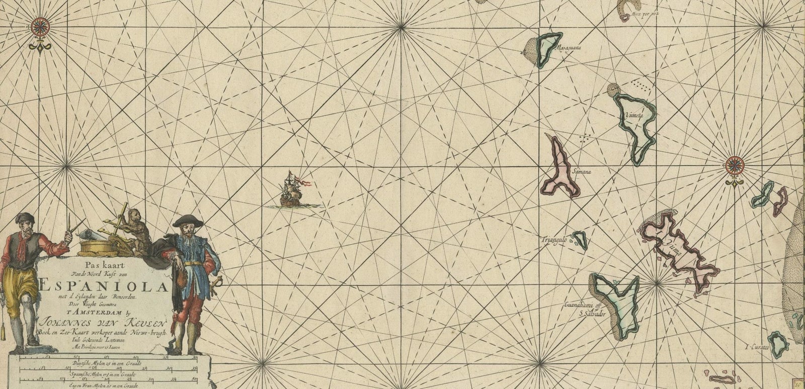
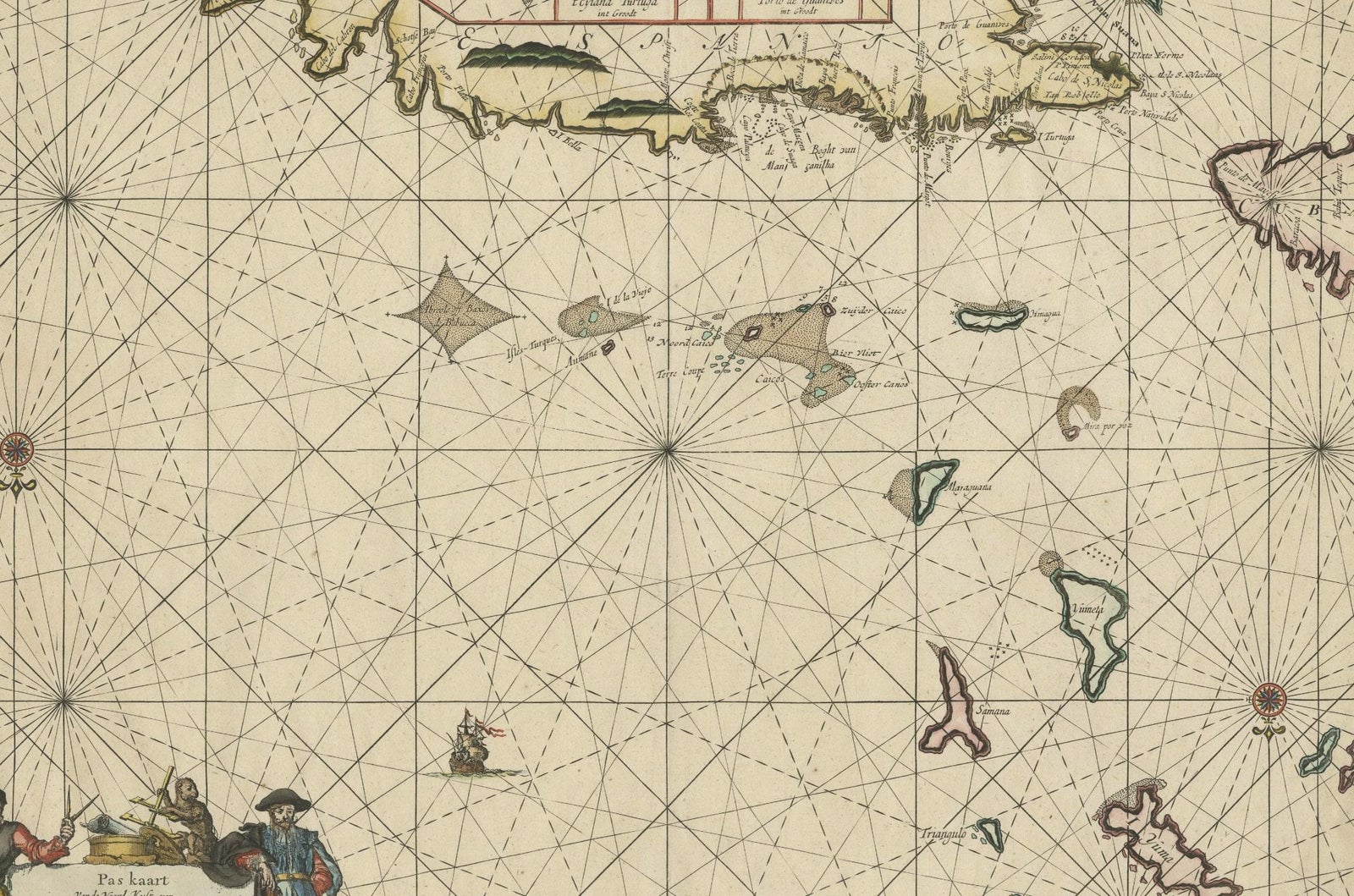
The northern coast of Hispaniola and the island groups to its north, an original antique sea chart titled "Pas kaart Van de Noord Kust van Espaniola", published in Amsterdam by Johannes van Keulen around 1684 for his sea atlas De Nieuwe Groote Lightende Zee-Fakkel. The copper engraving is colored in outline.
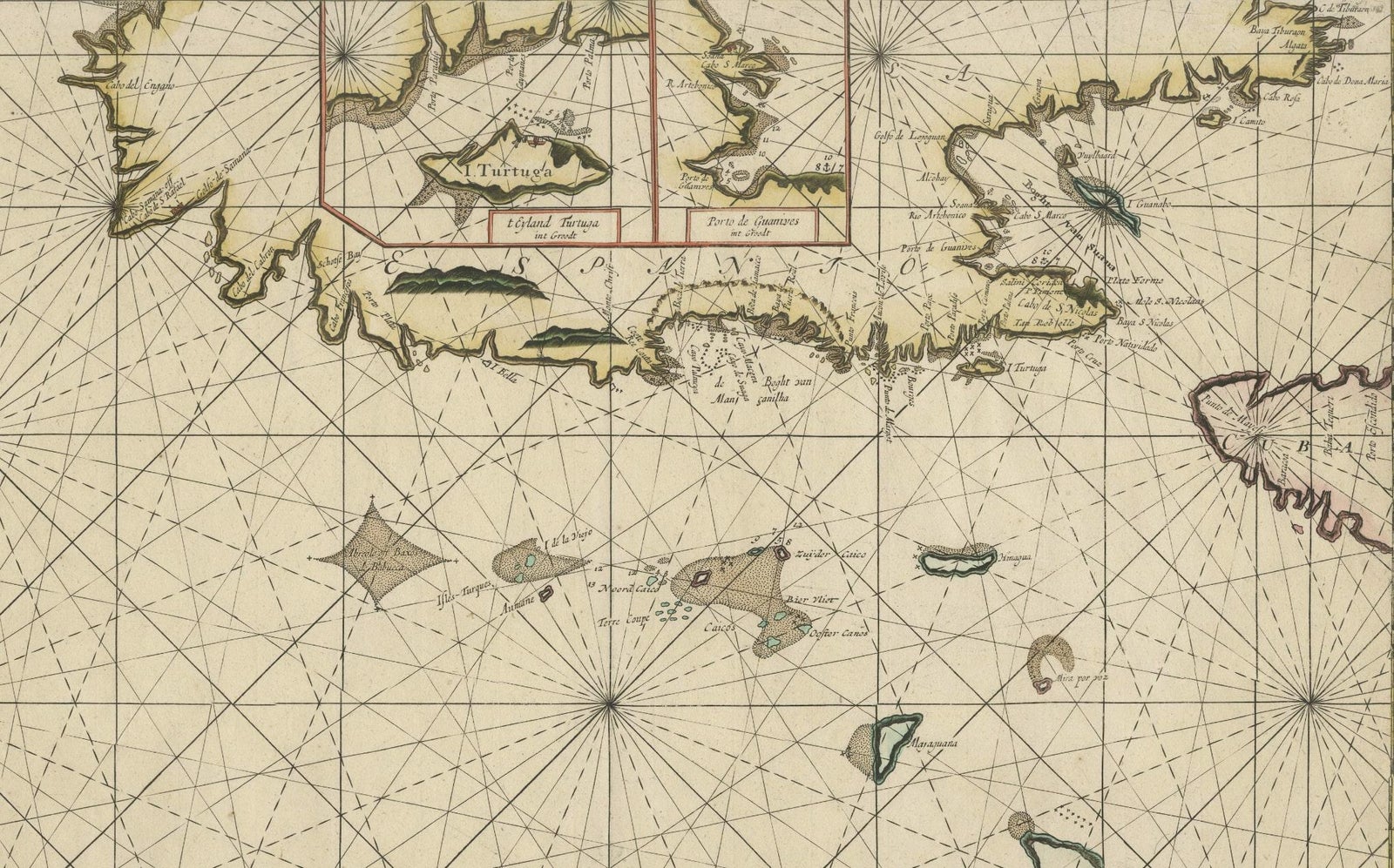
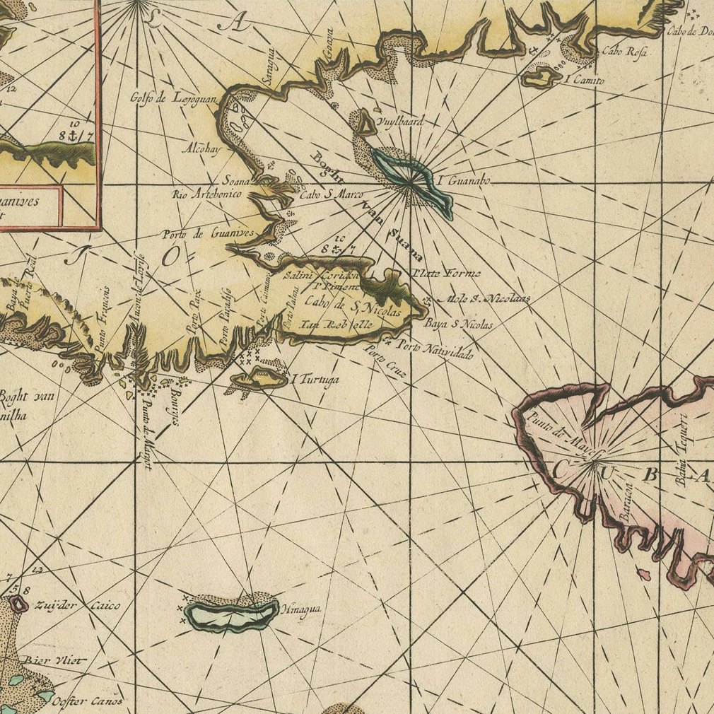
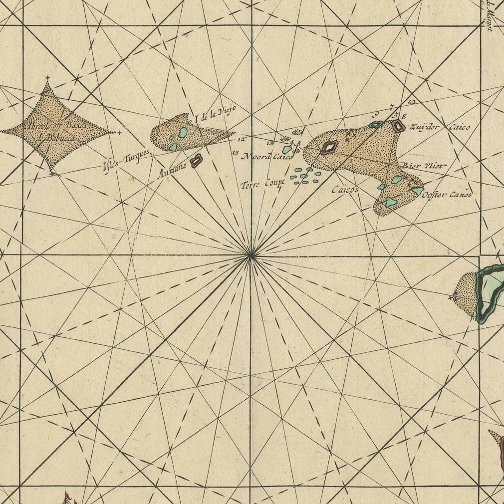
The upper edge of the chart is occupied by the coastline of Hispaniola, with boxed insets at the top showing the island of Tortuga and a nearby harbor on a larger scale. Across the open sea, a web of rhumb lines radiates from compass roses, and the Turks and Caicos Islands and the southern Bahamas are drawn with colored outlines. The map shows Guanahami, or S. Salvador. Guanahani is the island in the Bahamas first sighted and visited by Christopher Columbus on October 12, 1492; which island it was is not known precisely, and several theories have been put forward. A small ship sails the sea at the lower left, and the title cartouche beneath it is flanked by two figures with the scales of miles.
Van Keulen founded his firm, In de Gekroonde Lootsman, in 1678, and received a privilege in 1680 for pilot guides and sea atlases. The Zee-Fakkel was reprinted until 1783 and issued in French, English, Spanish and Italian editions.
EXPLORE