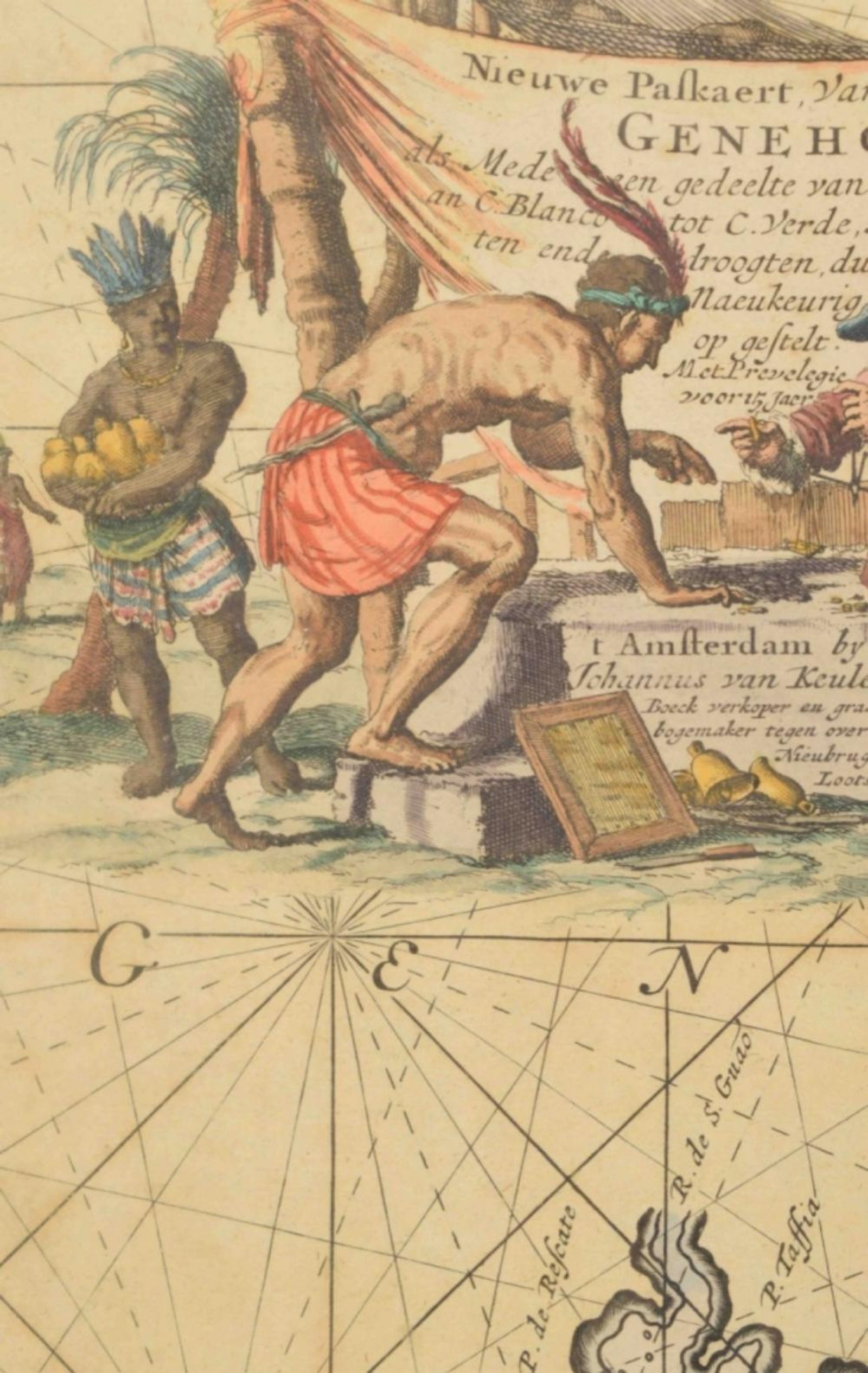
Close-ups
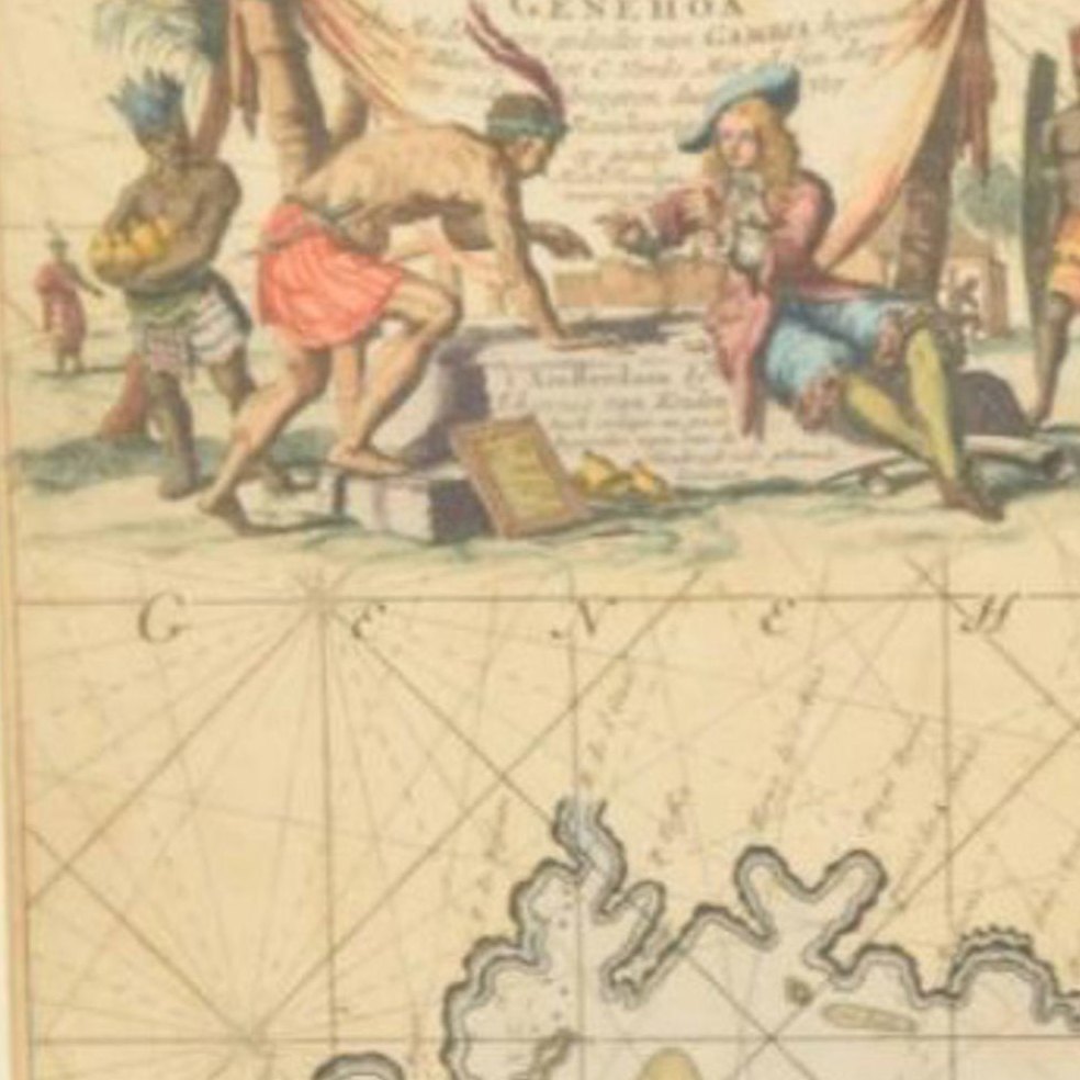
Framed and on the wall
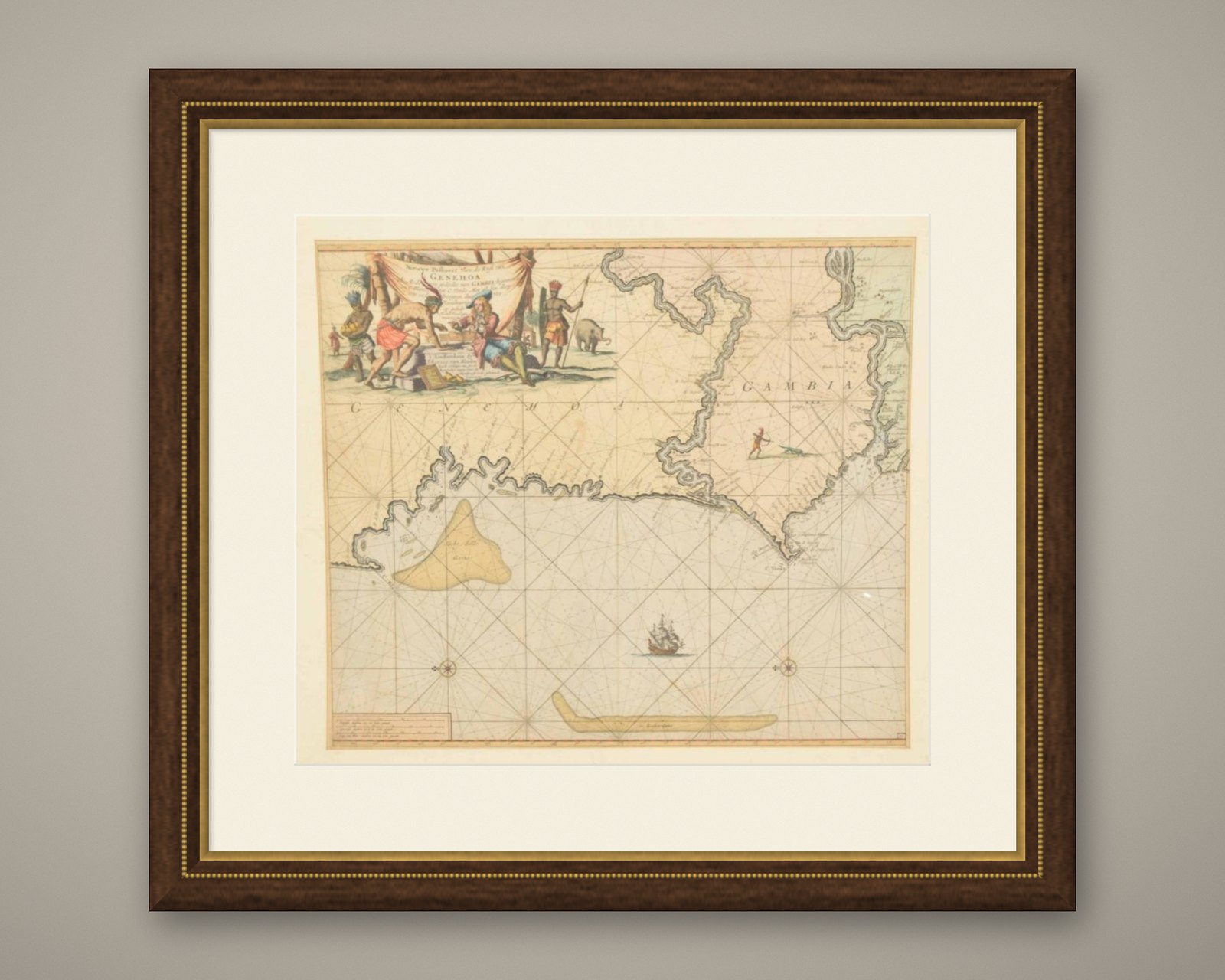
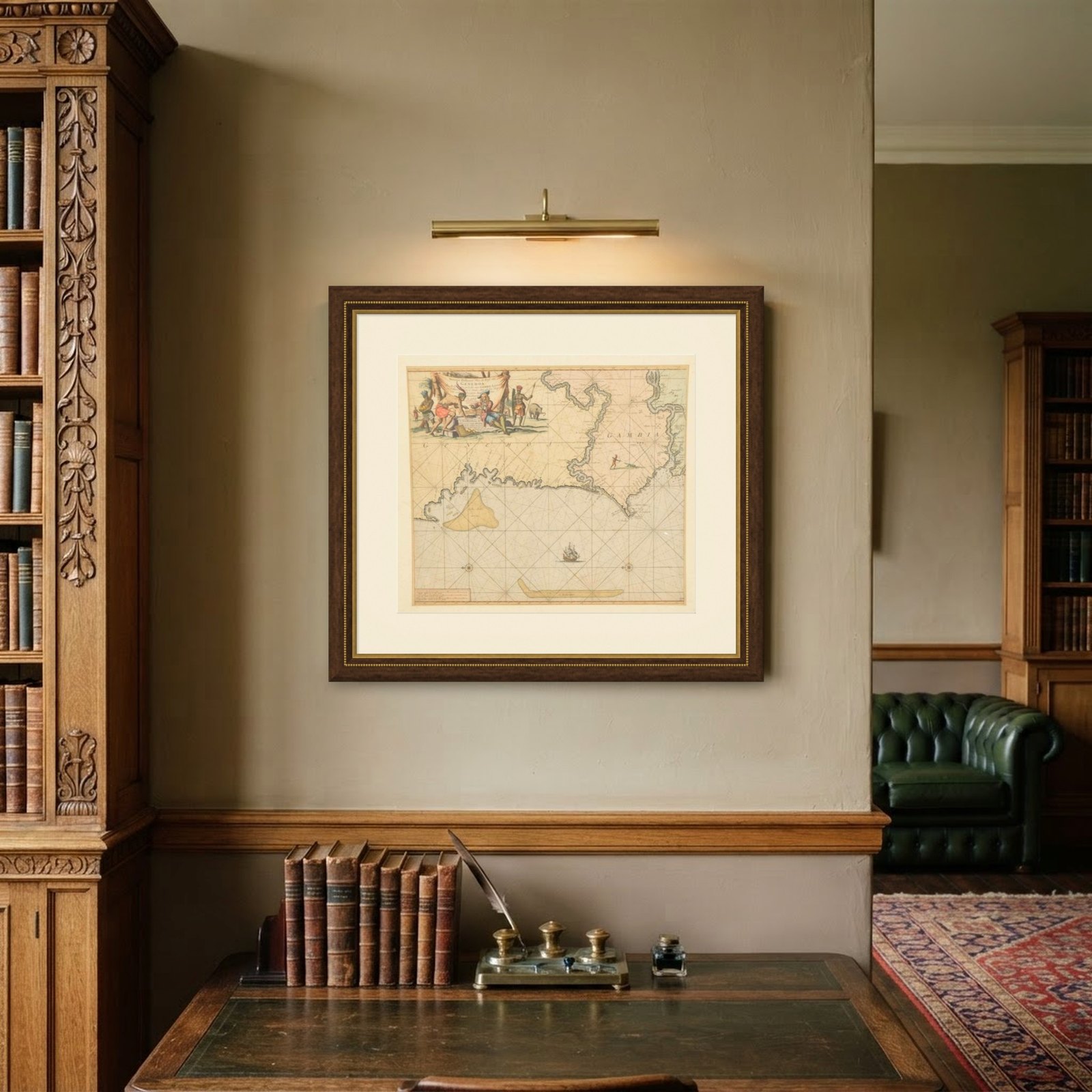

Frame and rooms are illustrations of how the piece could look; it is sold unframed unless the description says otherwise.
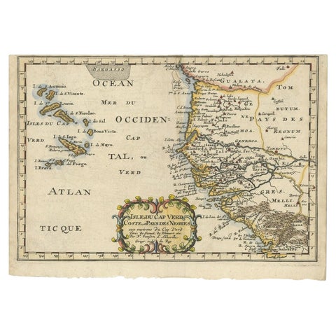
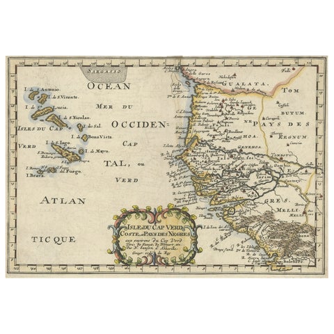
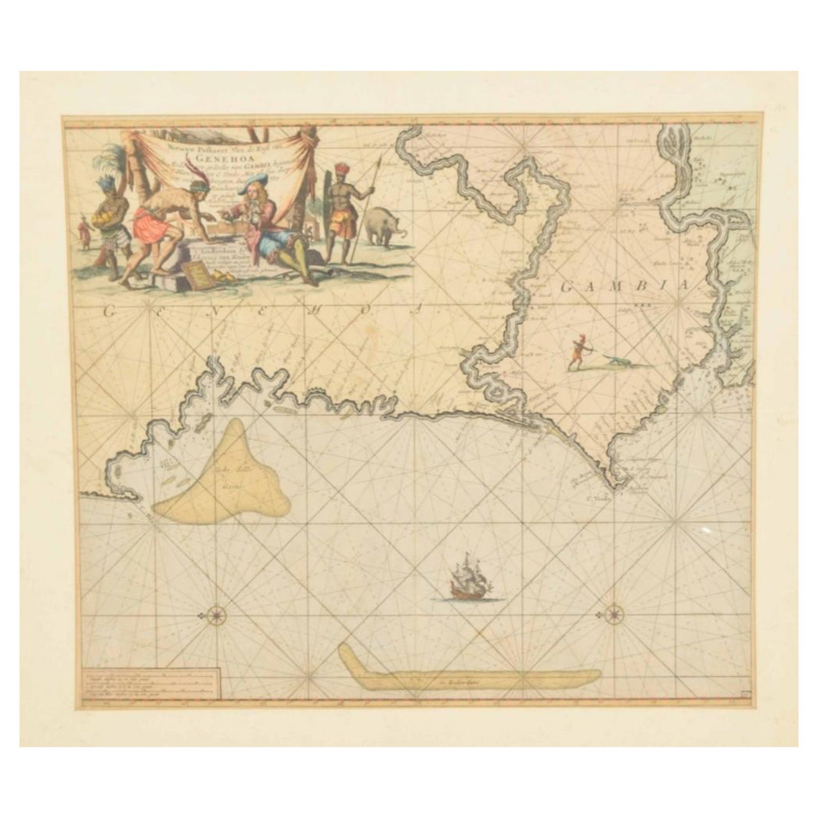
Original Hand-Coloured Nautical Chart of West-Africa, c.1680
£1,230
$1,625 · €1,450
Original print, not a reproduction.
Ships worldwide from the Netherlands, flat, insured and tracked. 14-day returns. To buy, use Ask a question and we will reserve it for you.
- Date
- 1680
- Sheet size
- 20.1 × 22.8 in (51 × 58 cm)
- Condition
- Good. Repaired: Repair on bottom left corner. General age-related toning. Minor wear and soiling. Repair on bottom left corner. Blank verso, with Dutch manuscript title. Please study image carefully.
- Collection
- Sea charts
- Era
- Before 1700, Dutch Golden Age
- Stock no.
- f_27810792
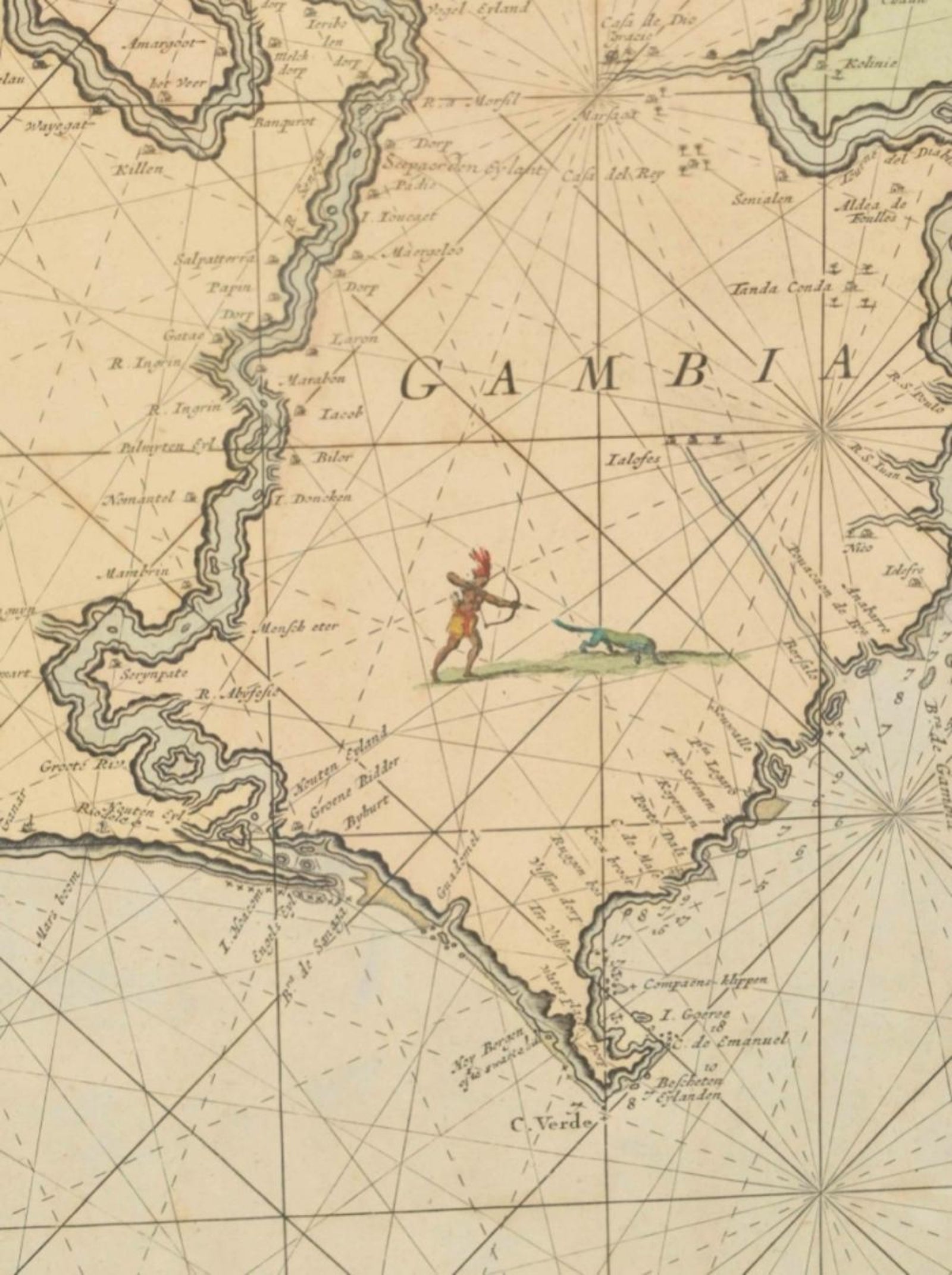
NIEUWE PASKAERT VAN DE KUST VAN GENEHOA (Senegal) alsmede een gedeelte van Gambia beginnende an C. Blanco tot C. Verde (...). Amsterdam, Johannus van Keulen, c. 1680.
Large folio coloured map in passe-partout. Large illustrated cartouche with title. North oriented west, see also the compass rose. Very impressive and decorative map of this part of Africa.
EXPLORE